Plizio Visual Lab
Mount Mukike

Weather…
Water temperature…
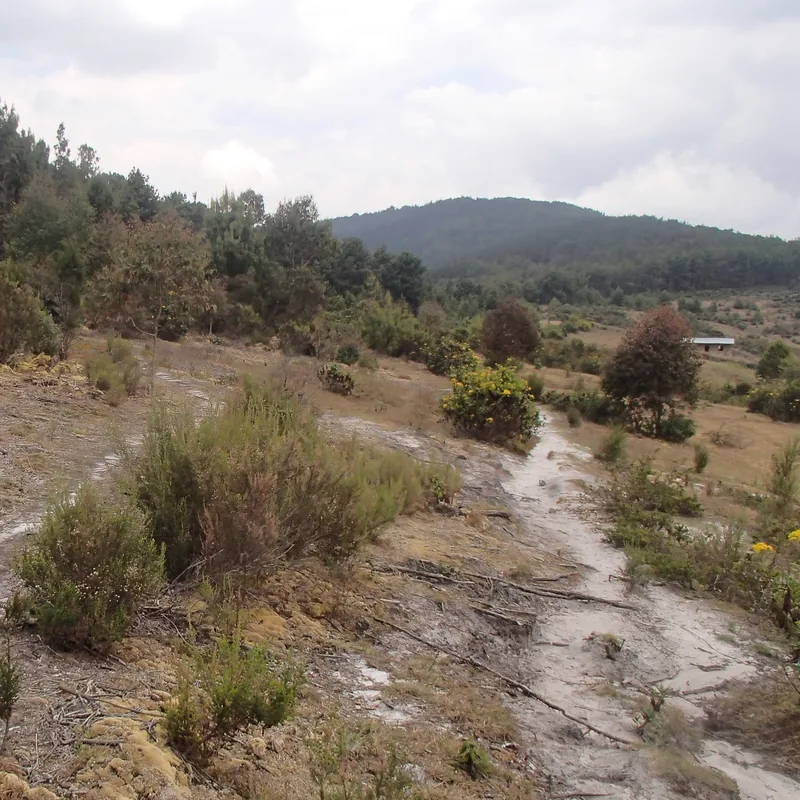
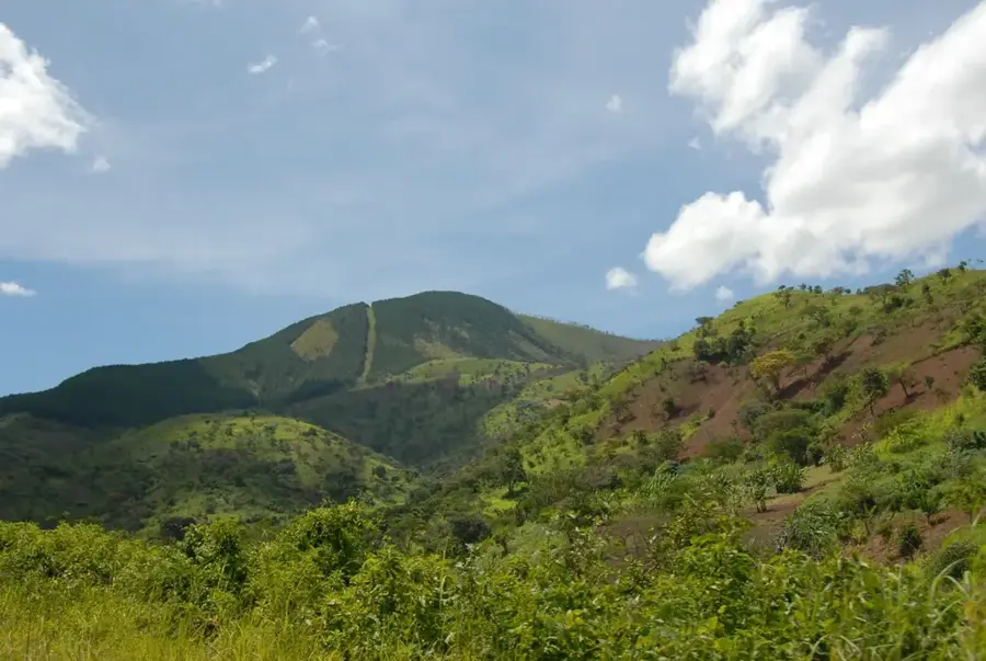
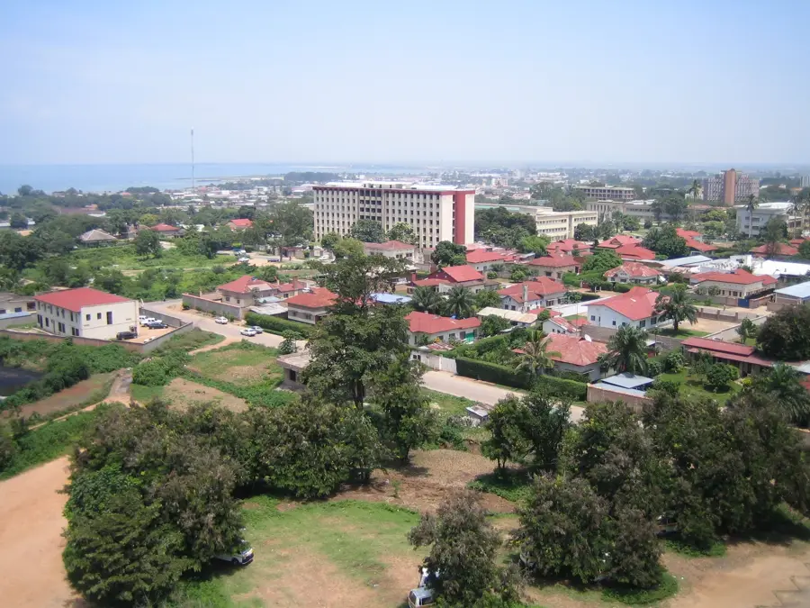
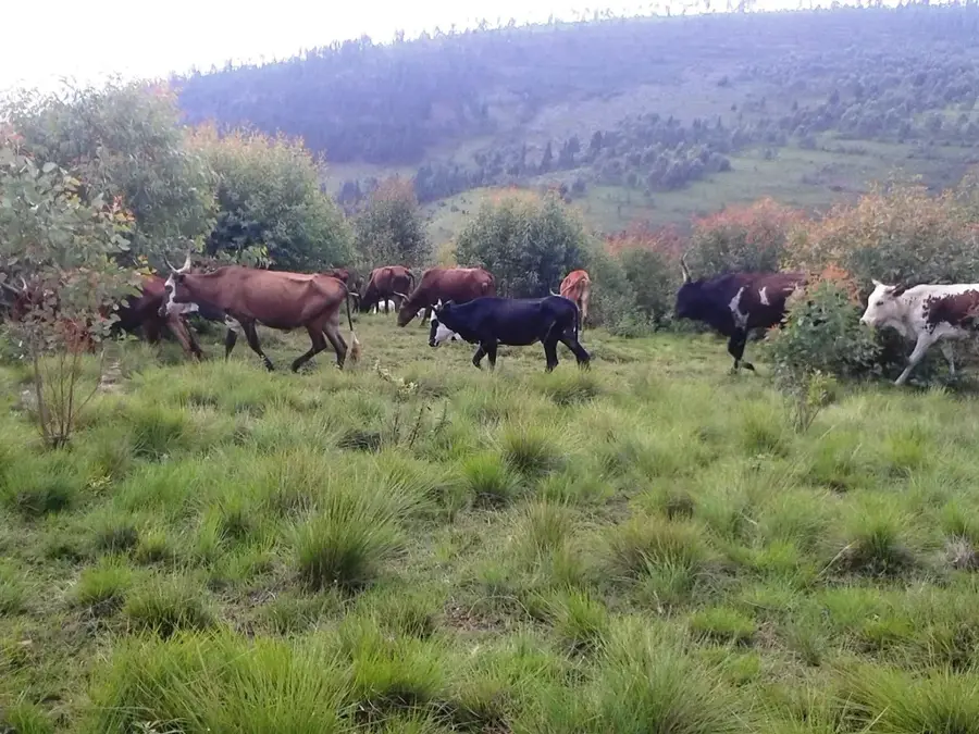
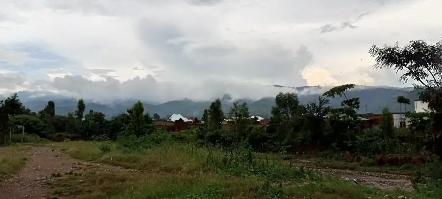
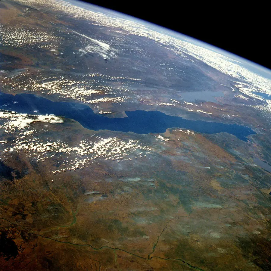
Mount Mukike is one of the highest peaks in Burundi, located in the central part of the country as part of the Congo-Nile Crest. Reaching an elevation of approximately 2,600 meters, it dominates the surrounding landscape and features spectacular views of the fertile highlands. The vegetation on Mukike varies from dense montane forests on the lower slopes to subalpine grasslands near the summit. The area is renowned for its rich flora, including rare orchid species and endemic grasses adapted to cool temperatures. Hydrologically, the mountain is of critical importance as its headwaters form significant tributaries for the region's river systems. Mukike is also a vital habitat for montane birds and small mammals that find refuge in the undisturbed areas of the mountain. Due to its altitude, the summit is frequently shrouded in clouds, contributing to the formation of cloud forests essential for the region's water balance. In recent years, interest in hiking and nature observation on Mukike has grown, encouraging efforts toward sustainable tourism.
- Location: Burundi
- Nearby: Mugamba (10 km)
Best time to visit & climate
The most pleasant time to visit is Jun–Aug.
| Jan | Feb | Mar | Apr | May | Jun | Jul | Aug | Sep | Oct | Nov | Dec | |
|---|---|---|---|---|---|---|---|---|---|---|---|---|
| Avg °C | 21 | 22 | 22 | 21 | 21 | 20 | 20 | 21 | 22 | 22 | 21 | 21 |
| Rain mm | 202 | 168 | 219 | 213 | 94 | 29 | 15 | 42 | 94 | 172 | 341 | 219 |
📋 Practical info
Geography
Facts
- At approximately 2,600 meters, it is among Burundi's highest elevations.
- It belongs to the central mountain range of the Nile-Congo divide.
- The summit area features distinct subalpine grassland ecosystems.
- Rare orchid species thrive in the humid, high-altitude climate of the mountain.
- Headwater streams from Mukike feed major rivers in central Burundi.
- The frequent cloud cover facilitates the growth of vital cloud forests.
Explore nearby
Notable places around
Route planner — Car & Motorhome
Where do you start? We build the route here, with stops and country notes along the way.
© OpenStreetMap contributors · OpenRouteService
Sights nearby
Frequently asked questions
How high is Mount Mukike?
What is characteristic of Mukike?
Can you go hiking on Mount Mukike?
Which plants grow there?
How do you reach Mukike?
Mount Mukike: where is it located?
Mount Mukike: when is the best time to visit?
Mount Mukike: why is it worth visiting?

Nearby cities
History & landmarks
Nature
More places