Plizio Visual Lab
Pama
ℹ️Practical info — Pama
▾
🌤 Weather — 5 days
📍 Nearby
Sights nearby
💡 Tips
- Pama is the great base for Arli National Park; arrange a guide and 4x4 in town before heading out.
- Cash is king here; ATMs are rare or unreliable, so bring sufficient CFA francs from Fada N'Gourma.
- The heat peaks mid-day, start your wildlife tours very early in the morning.
- Respect local customs and dress modestly when walking around the town center.
🍽 Food
Fat rice with meat, usually at roadside maquis.
Grilled meat skewers from street vendors in the evening.
Millet or sorghum paste with sauce, available in local canteens.
🛍 Shopping · 🧘 Quiet spots
Fresh produce, basic travel supplies, and colorful fabrics.
Small wooden carvings and artisanal goods near the main transport hub.
A walk on the dirt roads leading out of town gives quiet savannah views.
Often a serene spot to sit quietly and observe daily life.
Water temperature…
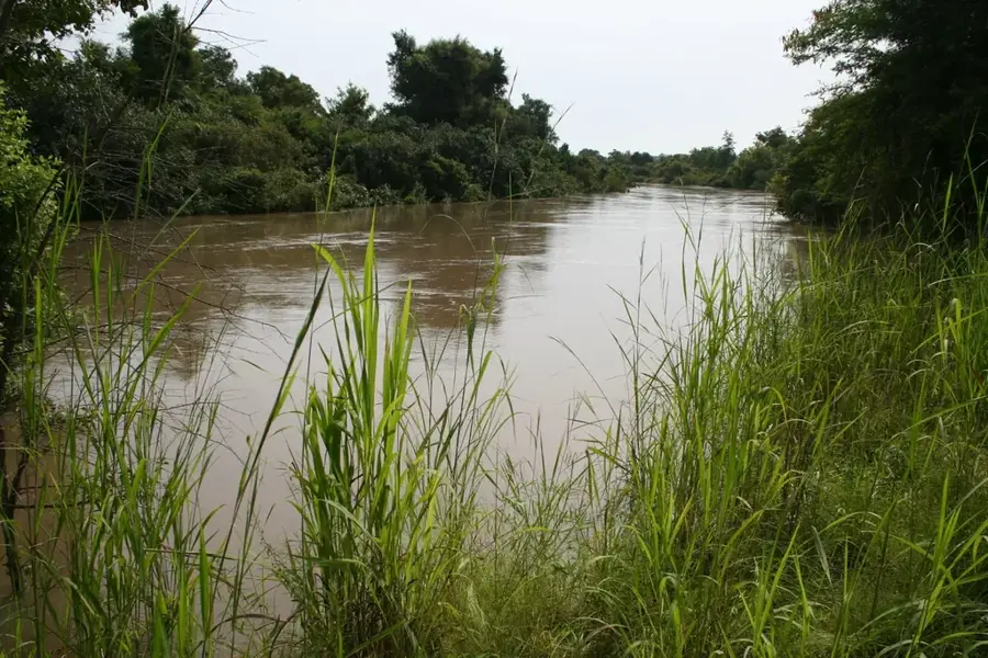
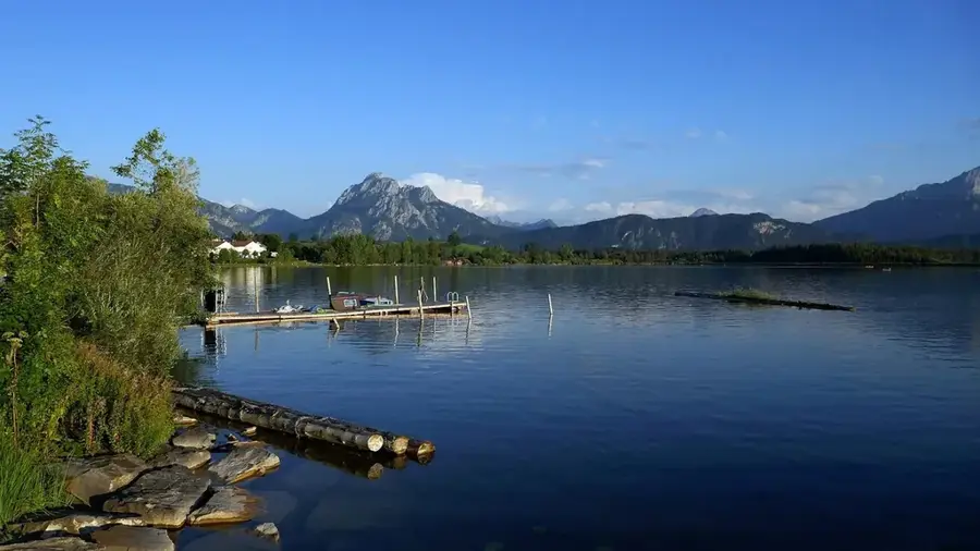
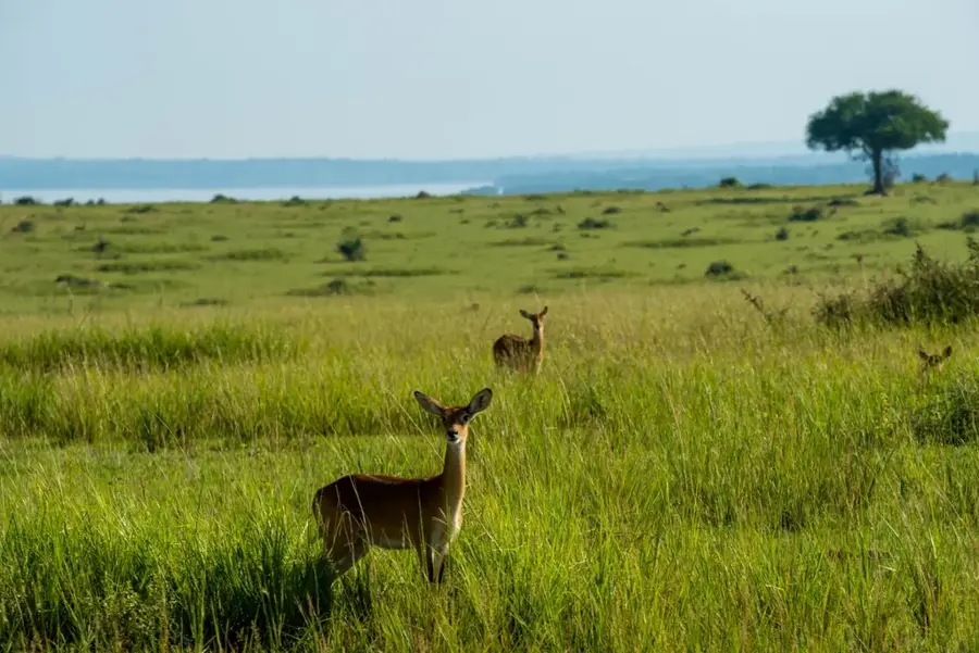
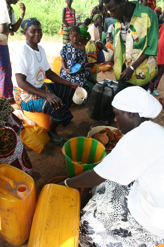
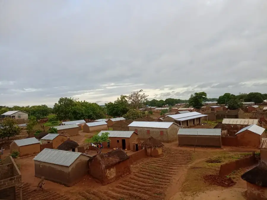
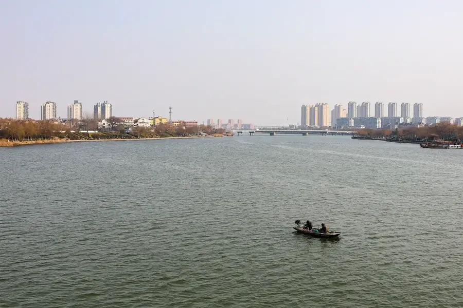
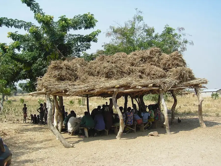
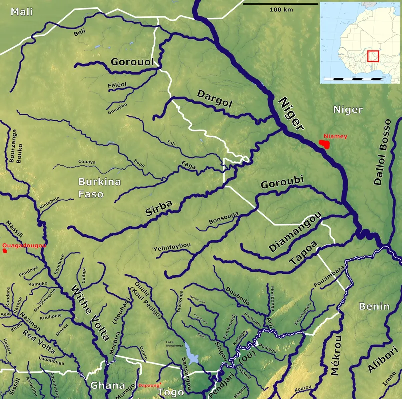
Pama is a strategically located town in southeastern Burkina Faso, serving as the administrative capital of Kompienga Province in the Est Region. The town lies very close to the border with Benin and is widely recognized as the primary gateway to the country's vast national parks and wildlife reserves. The modern history of Pama was significantly shaped by the construction of the Kompienga Dam in the 1980s, which provides hydroelectric power and irrigation, fundamentally altering the local environment and economy. Pama is a major hub for eco-tourism, acting as the starting point for visitors heading to the Arly National Park and the Pama Wildlife Reserve, areas renowned for their populations of elephants, lions, and diverse antelope species. The local economy thrives on subsistence farming, commercial fishing in the reservoir, and cross-border trade. The Gourmantché people are the dominant ethnic group, enriching the town with their unique cultural traditions, festivals, and crafts. Despite its remote southeastern location, Pama remains a vital center for regional development and the conservation of West Africa's biodiversity.
- Location: Burkina Faso
- Nearby: Ouargaye (78 km)
- Population: ~13.579 (2026)
Best time to visit & climate
The most pleasant time to visit is Jan, Nov, Dec.
| Jan | Feb | Mar | Apr | May | Jun | Jul | Aug | Sep | Oct | Nov | Dec | |
|---|---|---|---|---|---|---|---|---|---|---|---|---|
| Avg °C | 24 | 28 | 31 | 31 | 30 | 28 | 26 | 26 | 26 | 27 | 26 | 24 |
| Rain mm | 1 | 4 | 11 | 56 | 104 | 155 | 216 | 265 | 200 | 89 | 6 | 0 |
Geography
Facts
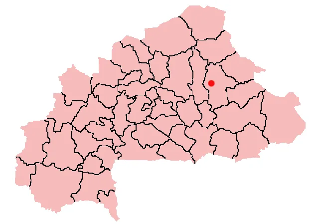
- Pama is situated about 100 kilometers south of the regional capital, Fada N'Gourma.
- The nearby Kompienga Reservoir is the largest man-made body of water in the area.
- The town serves as a critical logistics base for regional wildlife conservation efforts.
- Pama is located on the N18 national road that leads directly to the Benin border.
- Significant amounts of sorghum and maize are produced in the surrounding agricultural lands.
- The local population predominantly belongs to the Gourmantché ethnic group.
Explore nearby
Notable places around
Route planner — Car & Motorhome
Where do you start? We build the route here, with stops and country notes along the way.
© OpenStreetMap contributors · OpenRouteService
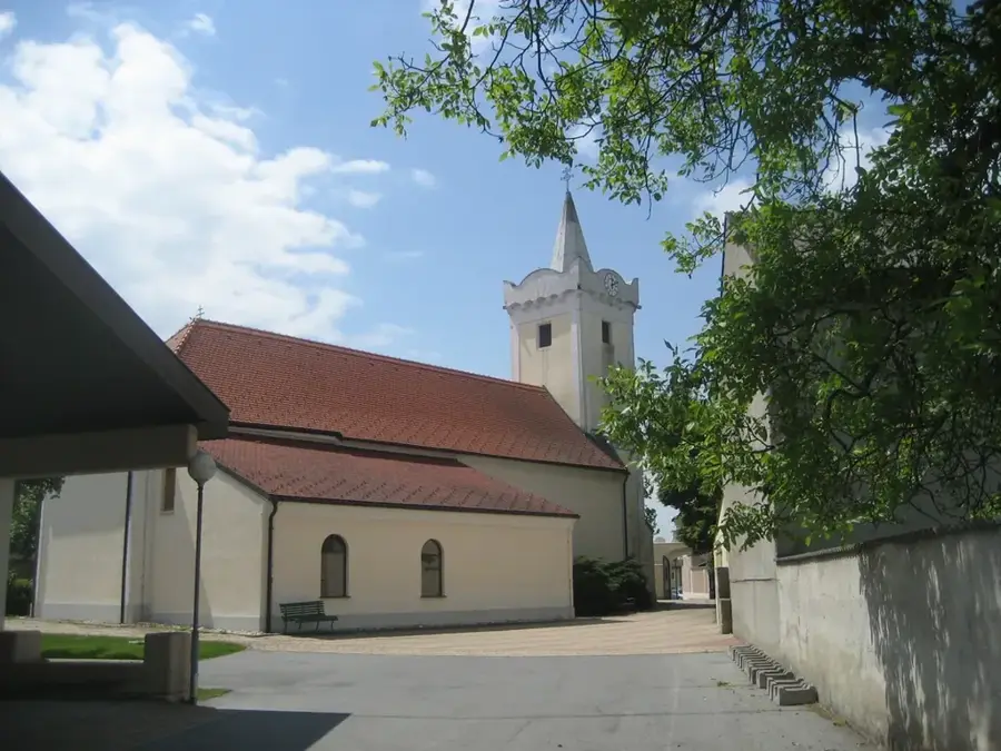
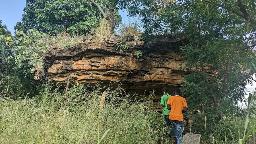
Sights in the town Pama (1)
Frequently asked questions
What is Pama the gateway to?
Is there water there?
Can you go on safari there?
How is the security?
What is the main activity?
Pama: where is it located?
Pama: when is the best time to visit?
Pama: why is it worth visiting?

Nearby cities

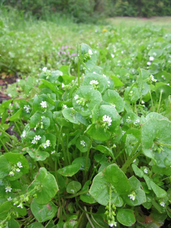
Nature

More places