Plizio Visual Lab
Gourou Lake
Weather…
Water temperature…
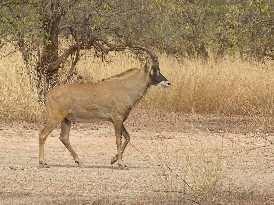
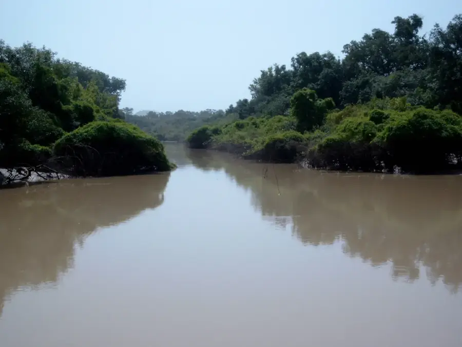
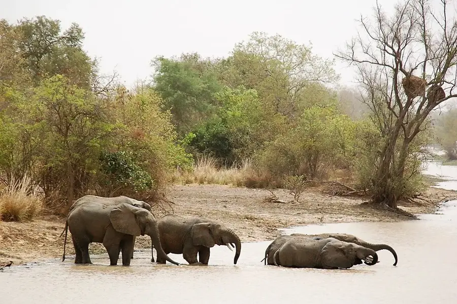
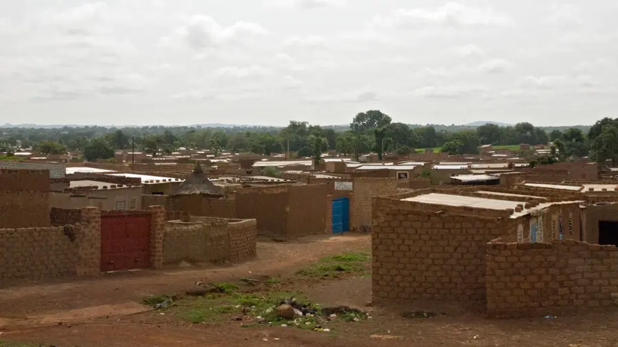
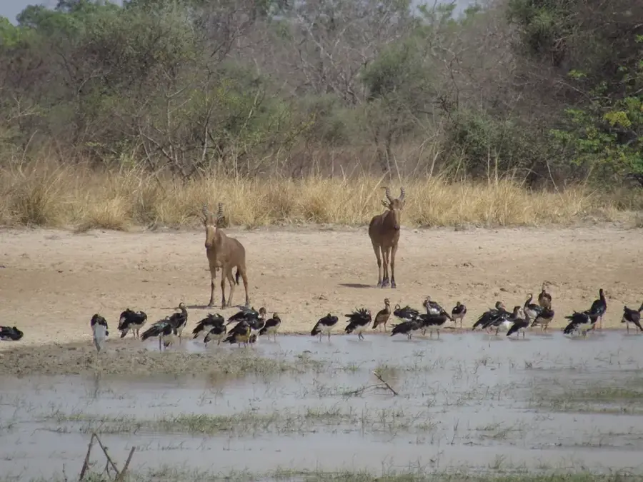
Mare de Gourou is a seasonal wetland in eastern Burkina Faso, located in the Diapaga department, playing a vital role in the ecological balance of this arid region. During the short rainy season from July to September, the depression fills with water, creating a lake of up to 15 square kilometers that attracts an abundance of life. This site is an essential watering point for thousands of cattle belonging to nomadic Fulani herders who stop here during their transhumance. Ecologically, Mare de Gourou is a significant stopover for Palearctic migratory birds using the lake as a waypoint on their journey south. Vegetation along the shores is sparse, consisting mainly of acacias and heat-resistant shrubs that quickly turn green after the first rains. During the long dry season, the water evaporates almost entirely, leading to high salt concentrations and allowing the local population to extract natron. The lake suffers from increasing siltation, accelerated by climate change and the decline of protective vegetation in the surrounding area. As part of the regional water network, Mare de Gourou remains a center of life in the country's dry eastern reaches.
- Location: Burkina Faso
- Nearby: Pama (61 km)
Best time to visit & climate
The most pleasant time to visit is Jan, Nov, Dec.
| Jan | Feb | Mar | Apr | May | Jun | Jul | Aug | Sep | Oct | Nov | Dec | |
|---|---|---|---|---|---|---|---|---|---|---|---|---|
| Avg °C | 25 | 29 | 32 | 32 | 31 | 29 | 27 | 26 | 26 | 27 | 27 | 25 |
| Rain mm | 0 | 3 | 7 | 45 | 85 | 125 | 187 | 239 | 166 | 69 | 5 | 0 |
📋 Practical info
Geography
Facts
- Location: Diapaga Department, Eastern Burkina Faso
- Maximum area: approx. 15 km² (5.8 sq miles) seasonally
- Utility: Critical watering hole for nomadic livestock
- Ecology: Major stopover for Palearctic migratory birds
- Mineral resources: Known for natron extraction in dry months
- Climate: Receives less than 600 mm (24 inches) of annual rain
Explore nearby
Notable places around
Route planner — Car & Motorhome
Where do you start? We build the route here, with stops and country notes along the way.
© OpenStreetMap contributors · OpenRouteService
Sights nearby
Frequently asked questions
Can you walk around the lake?
Are there mosquitoes?
Is the lake used economically?
Is the surrounding area inhabited?
Are there shaded spots near the lake?
Gourou Lake: where is it located?
Gourou Lake: when is the best time to visit?
Gourou Lake: why is it worth visiting?

Nearby cities

Nature
More places