Plizio Visual Lab
Tanguiéta Foothills
Weather…
Water temperature…
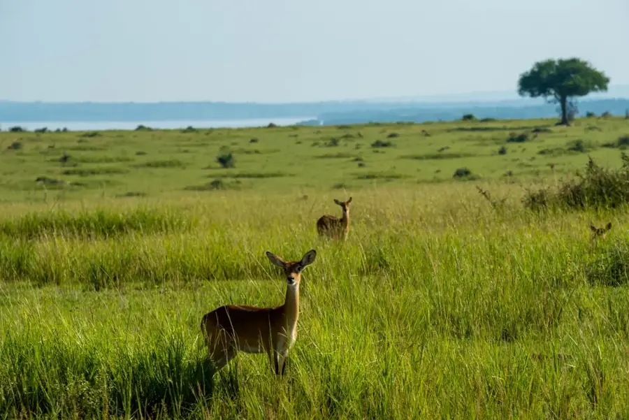
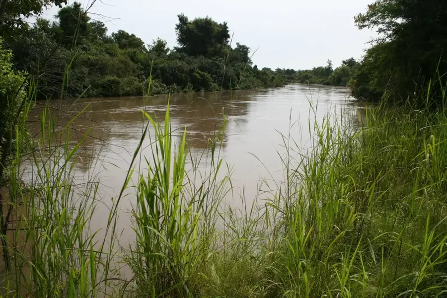
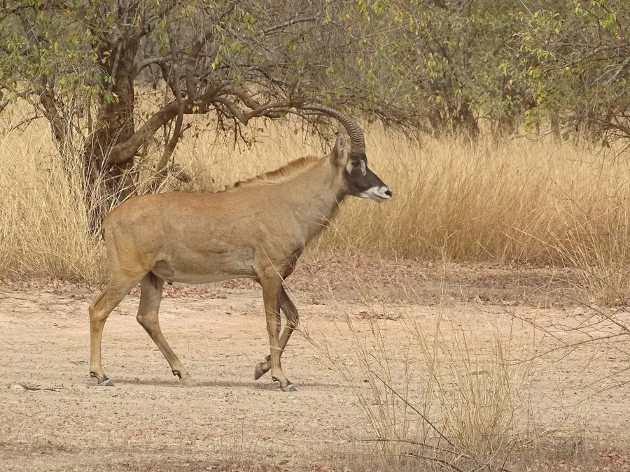
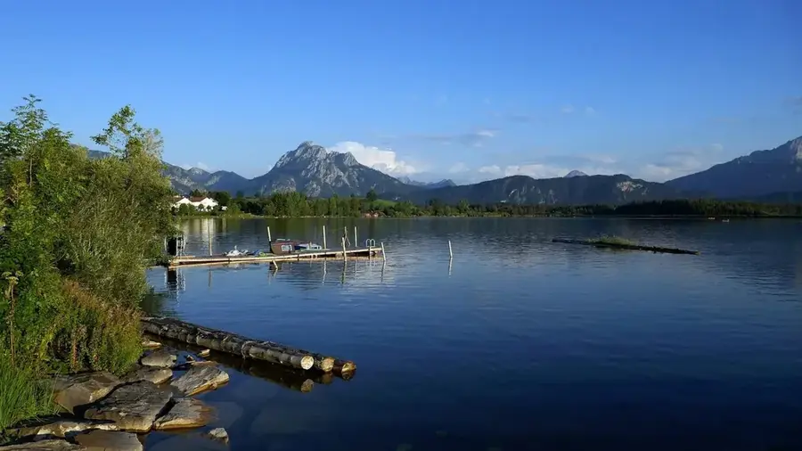
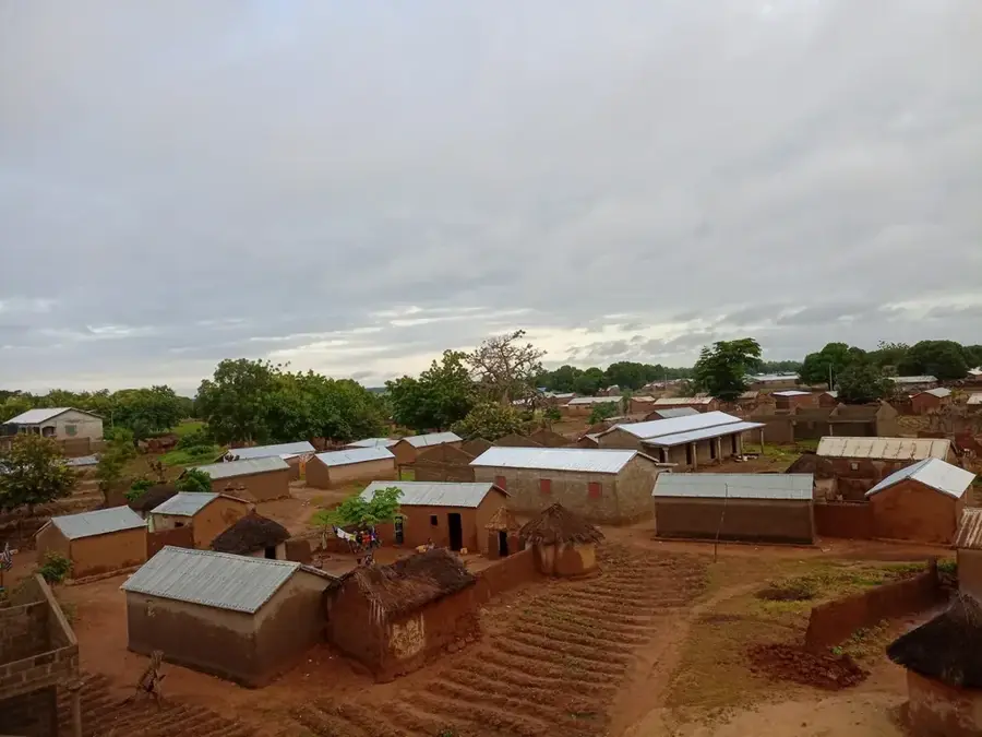
The Tanguiéta Foothills extend along the southeastern border of Burkina Faso, forming a transitional landscape toward the Atakora mountain range, which lies primarily within Benin. This relief is characterized by gentle spurs and undulating plains reaching elevations between 200 and 350 meters. Geologically, the region is defined by the sedimentary rocks of the Volta Basin, particularly sandstones and quartzites that sometimes form steep escarpments. The landscape is covered by dense Sudanian savanna, supported by relatively high annual rainfall of 900 to 1100 mm. Numerous seasonal streams originate in these foothills, draining towards the Oti plain. This transitional zone is ecologically significant as it serves as a vital wildlife corridor between the national parks of the WAP complex (W-Arly-Pendjari), bridging various regional ecosystems.
- Location: Burkina Faso
- Nearby: Pama (72 km)
Best time to visit & climate
The most pleasant time to visit is Jan, Nov, Dec.
| Jan | Feb | Mar | Apr | May | Jun | Jul | Aug | Sep | Oct | Nov | Dec | |
|---|---|---|---|---|---|---|---|---|---|---|---|---|
| Avg °C | 25 | 28 | 31 | 31 | 30 | 28 | 26 | 26 | 26 | 27 | 27 | 25 |
| Rain mm | 1 | 4 | 10 | 56 | 100 | 156 | 220 | 268 | 197 | 83 | 6 | 0 |
📋 Practical info
Geography
Facts
- The region marks the transition to the Atakora mountain range.
- Elevations in the foothills vary from 200 to 350 meters.
- Sandstone and quartzite are the primary geological components.
- Annual rainfall typically ranges between 900 and 1100 mm.
- The area is a crucial part of the transboundary WAP wildlife complex.
- The foothills serve as a source for streams feeding the Oti basin.
Explore nearby
Notable places around
Route planner — Car & Motorhome
Where do you start? We build the route here, with stops and country notes along the way.
© OpenStreetMap contributors · OpenRouteService
Sights nearby
Frequently asked questions
Where is the Tanguiéta hill edge located?
What is the view like?
Are there waterfalls nearby?
Is the terrain steep?
When should you visit the region?
Tanguiéta Foothills: where is it located?
Tanguiéta Foothills: when is the best time to visit?
Tanguiéta Foothills: why is it worth visiting?

Nearby cities
Nature

More places