Plizio Visual Lab
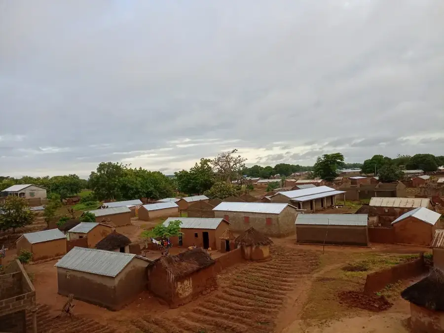
Pama Lowlands
Weather…
Water temperature…
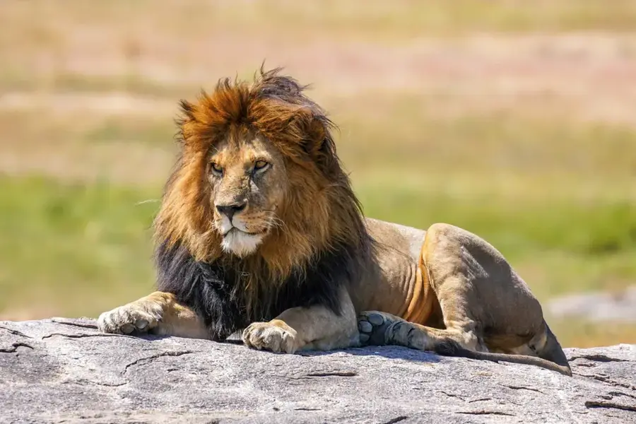
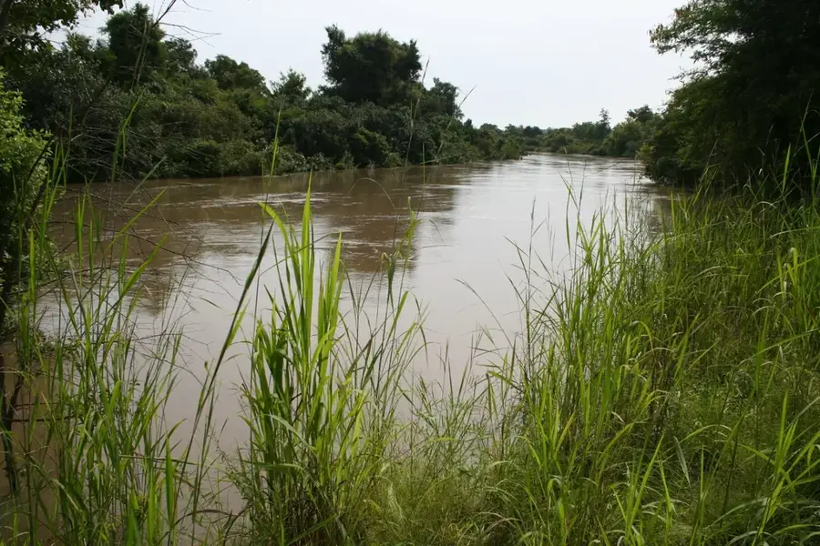
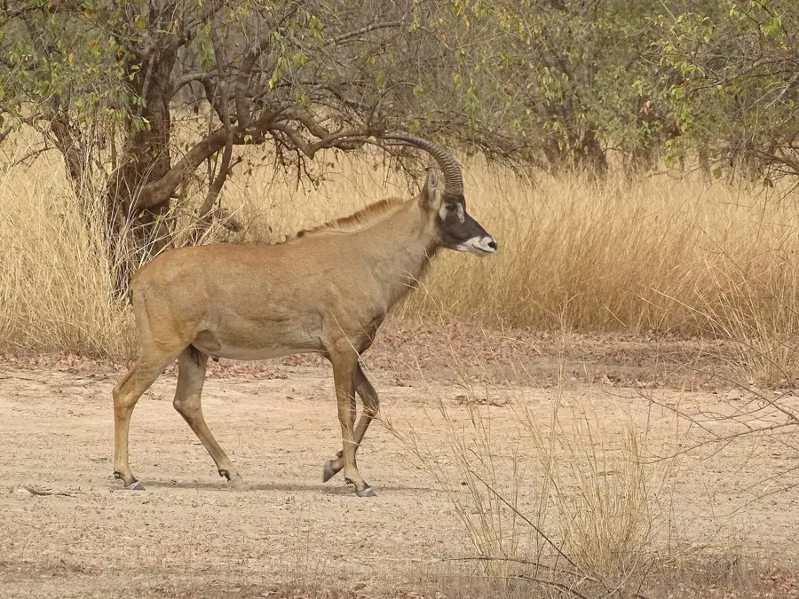
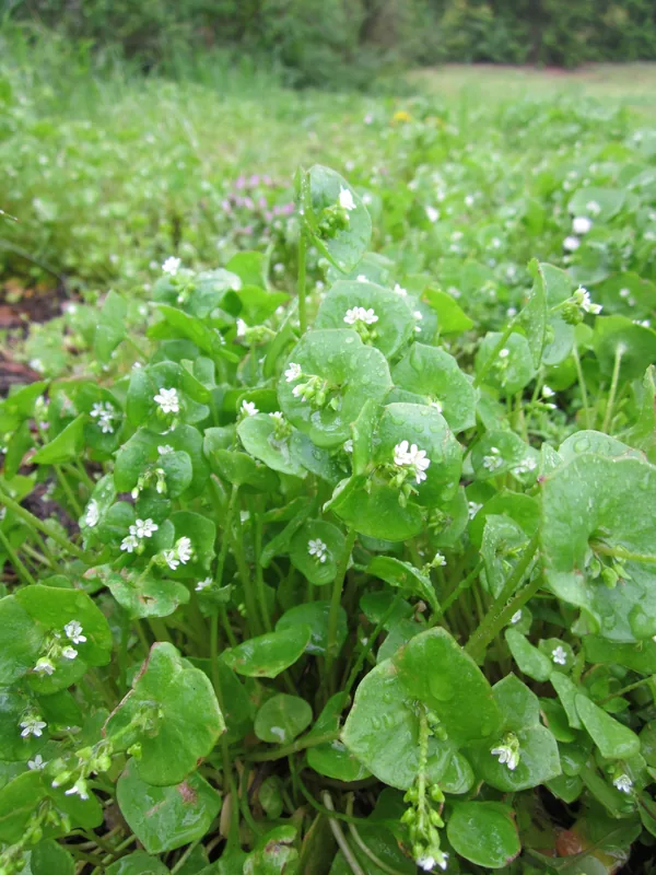
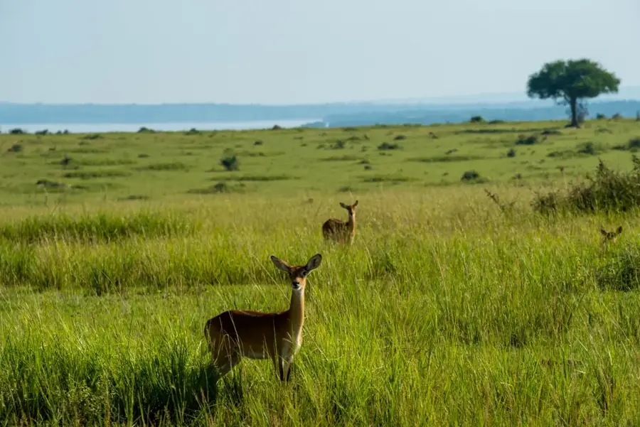
The Pama Lowlands extend across the far southeastern corner of Burkina Faso within the Kompienga Province, near the borders with Benin and Togo. This region is defined by a vast, flat depression that geomorphologically belongs to the Oti-Keran basin. The relief sits at an elevation between 150 and 200 meters, making it one of the lowest-lying areas in the country. Geologically, the lowlands are characterized by sedimentary deposits and heavy clay soils that are prone to waterlogging during the rainy season. The landscape features extensive wet savannas and gallery forests along watercourses such as the Singou River. Much of the lowlands fall within the Arly National Park and the adjacent Pama Reserve, making the region a critical sanctuary for African megafauna, including elephants and lions. The humid climate, with annual rainfall exceeding 1000 mm, supports high biodiversity and lush vegetation.
- Location: Burkina Faso
- Nearby: Pama (77 km)
Best time to visit & climate
The most pleasant time to visit is Jan, Nov, Dec.
| Jan | Feb | Mar | Apr | May | Jun | Jul | Aug | Sep | Oct | Nov | Dec | |
|---|---|---|---|---|---|---|---|---|---|---|---|---|
| Avg °C | 25 | 29 | 32 | 32 | 31 | 29 | 27 | 26 | 26 | 27 | 27 | 25 |
| Rain mm | 0 | 3 | 7 | 45 | 85 | 125 | 187 | 239 | 166 | 69 | 5 | 0 |
📋 Practical info
Geography
Facts
- The lowlands sit at an elevation of 150 to 200 meters above sea level.
- Geomorphologically, it is a component of the Oti-Keran basin system.
- Annual rainfall in the region regularly exceeds 1000 mm.
- The Singou River serves as the primary drainage for the area.
- The region encompasses vital parts of the Arly National Park.
- The heavy clay soils create seasonal wetlands during the rains.
Explore nearby
Notable places around
Route planner — Car & Motorhome
Where do you start? We build the route here, with stops and country notes along the way.
© OpenStreetMap contributors · OpenRouteService
Sights nearby
Frequently asked questions
Where is the Pama lowland located?
Are there wild animals there?
What is the terrain like?
Can you go on safari there?
Are there paved roads?
Pama Lowlands: where is it located?
Pama Lowlands: when is the best time to visit?
Pama Lowlands: why is it worth visiting?

Nearby cities
Nature
More places