Plizio Visual Lab
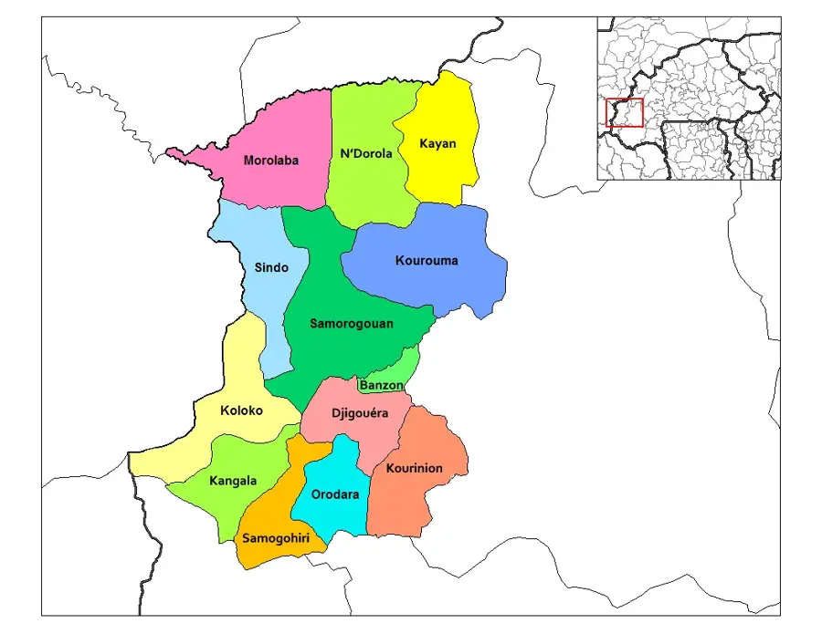
Kanala Mountains
Weather…
Water temperature…
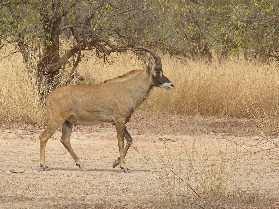
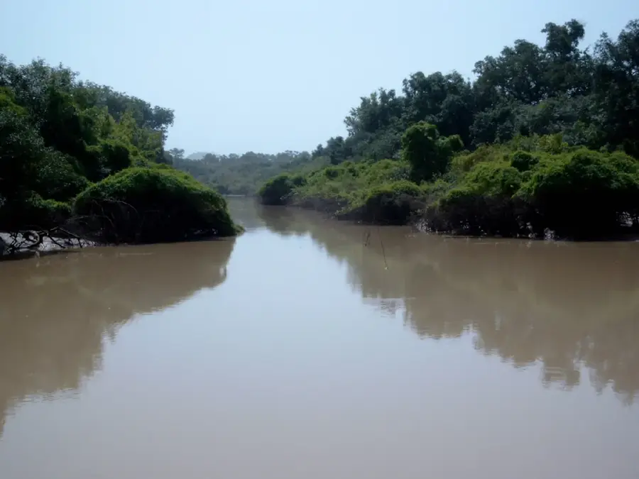
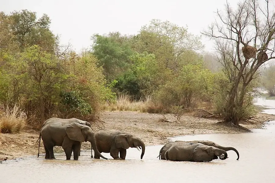
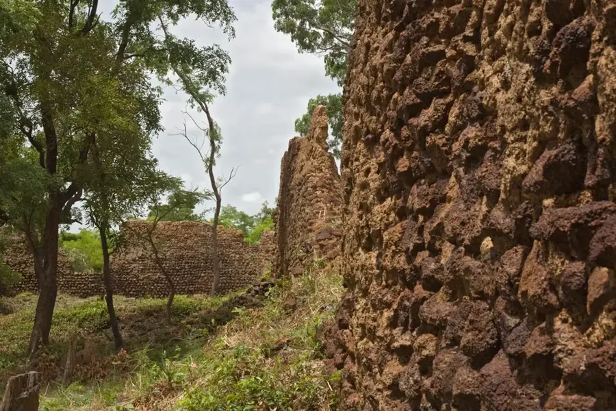
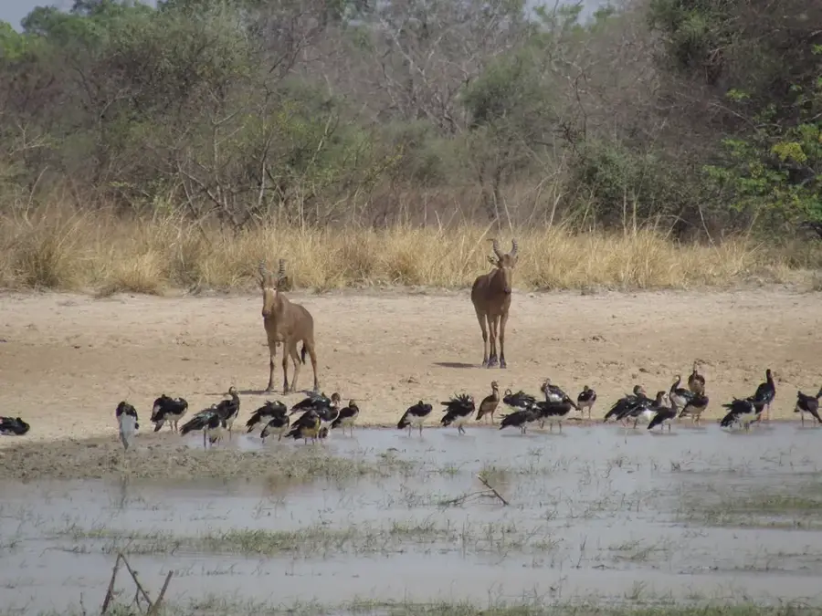
The Kanala Mountains stretch across southwestern Burkina Faso as a prominent sandstone massif, exhibiting a remarkable variety of geomorphological forms. Reaching a maximum elevation of 749 meters, they form one of the most distinctive heights in the Cascades region and shape the local climate through orographic rainfall. The slopes are covered with dense dry forests and savannas, transitioning into lush gallery forests in the lower-lying valleys. These mountains function as a critical watershed for the Mouhoun river system, the country's longest river. The geology of the Kanala Mountains is characterized by Precambrian sediments shaped by millions of years of erosion into deep gorges and wide plateaus. For the indigenous population, particularly the Lobi people, the mountains hold high spiritual significance and house numerous sacred sites. Economically, the region is significant due to its mineral resources such as gold and manganese, which however leads to ecological conflicts. Conservation efforts focus on maintaining the delicate balance between economic development and the preservation of this unique mountain ecosystem.
- Location: Burkina Faso
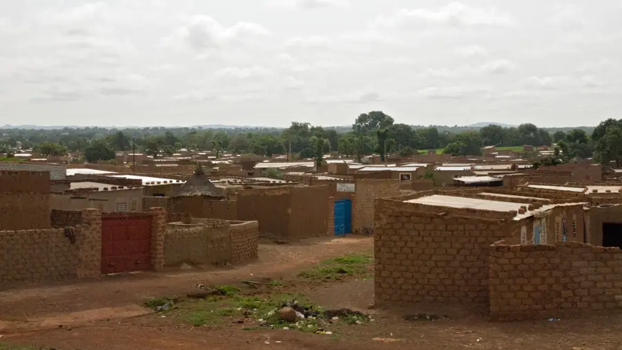
- Nearby: Pama (47 km)
Best time to visit & climate
The most pleasant time to visit is Jan, Nov, Dec.
| Jan | Feb | Mar | Apr | May | Jun | Jul | Aug | Sep | Oct | Nov | Dec | |
|---|---|---|---|---|---|---|---|---|---|---|---|---|
| Avg °C | 25 | 29 | 32 | 32 | 31 | 29 | 27 | 26 | 26 | 27 | 27 | 25 |
| Rain mm | 0 | 3 | 7 | 45 | 85 | 125 | 187 | 239 | 166 | 69 | 5 | 0 |
📋 Practical info
Geography
Facts
- Highest peak: 749 m (2,457 ft) in the Cascades region
- Geology: Formed from Precambrian sandstone
- Hydrology: Critical watershed for the Mouhoun River
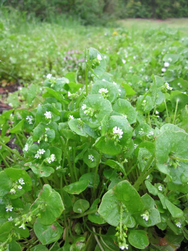
- Ecology: Important habitat for Sudan-Guinean species
- Resources: Notable for gold and manganese deposits
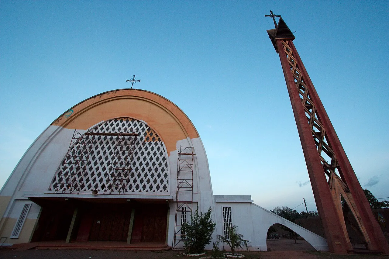
- Cultural value: Sacred sites for the Lobi ethnic group
Explore nearby
Notable places around
Route planner — Car & Motorhome
Where do you start? We build the route here, with stops and country notes along the way.
© OpenStreetMap contributors · OpenRouteService
Sights nearby
Frequently asked questions
How high are the mountains?
Are the trails marked?
Are there camping spots?
What kind of flora can I expect?
Is the region safe?
Kanala Mountains: where is it located?
Kanala Mountains: when is the best time to visit?
Kanala Mountains: why is it worth visiting?

Nearby cities

Nature
More places