Plizio Visual Lab
Diapaga
ℹ️Practical info — Diapaga
▾
🌤 Weather — 5 days
📍 Nearby
Sights nearby
💡 Tips
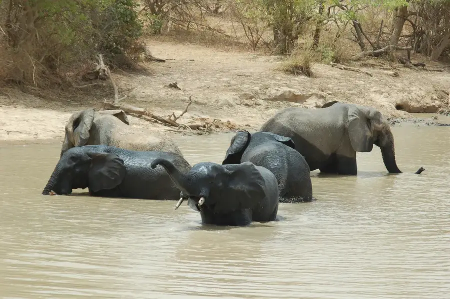
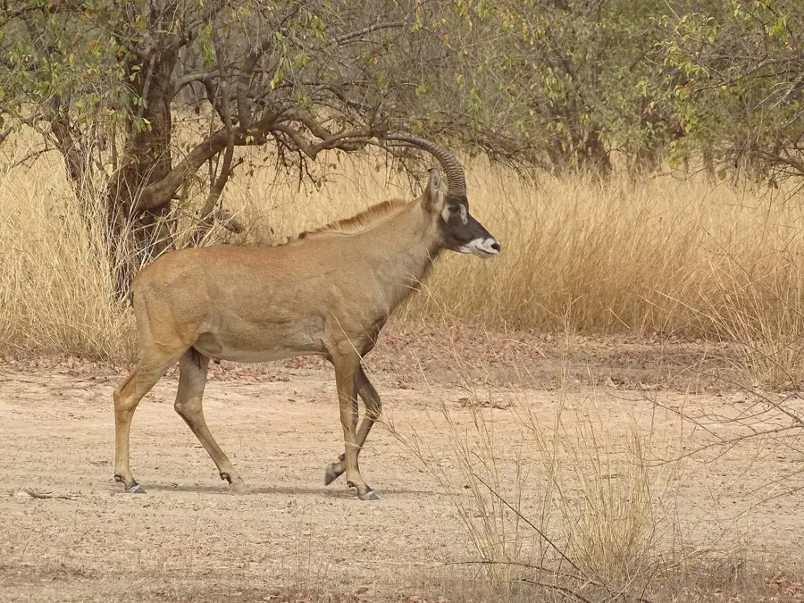
- Use this town as your final major stop to stock up on supplies before heading into Arli National Park.
- The security situation in the east can fluctuate; always check the latest official travel advisories before visiting.
- 4x4 vehicles are strongly recommended for navigating the rough roads leading in and out.
- Always hire a certified local guide for park excursions to ensure safety and the best wildlife spotting.
- Be prepared for communication networks (internet and cell service) to be unreliable.
🍽 Food
Rice cooked in a rich meat and vegetable broth, often the standard meal of the day.
Look for roadside maquis (open-air local bars) in the evening for freshly grilled skewered meats.
Refreshing hibiscus tea, often served ice-cold, first-rate for hydrating in the dry heat.
🛍 Shopping · 🧘 Quiet spots
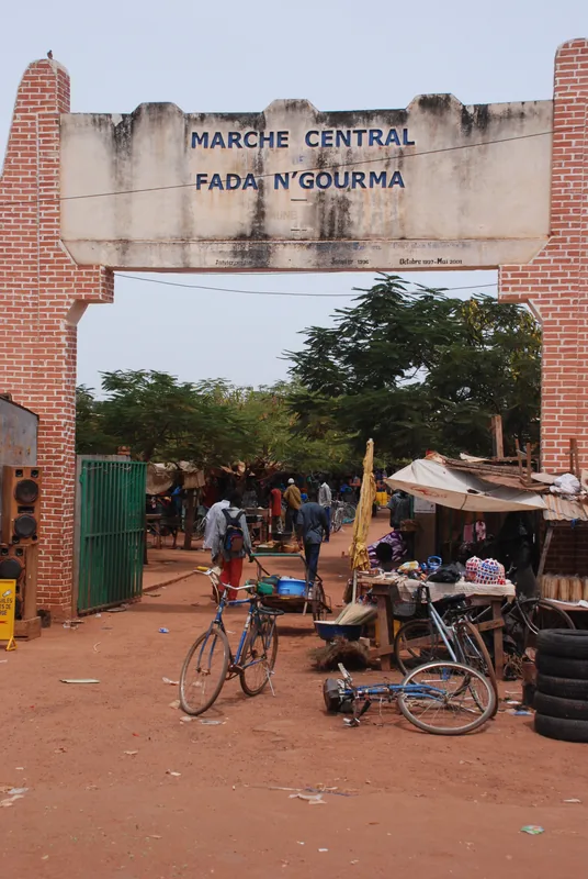
The central market provides basic gear and hats in case you forgot something before your park visit.
Traditionally crafted leather products from the local Gourmantché culture make great souvenirs.
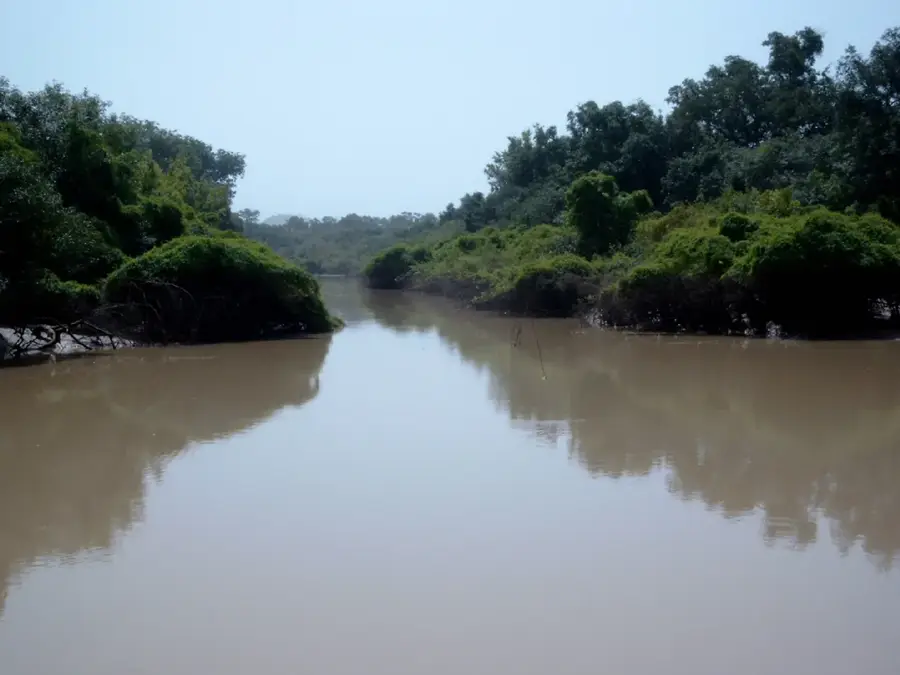
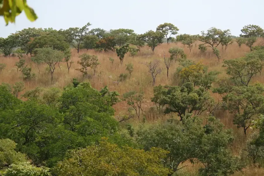
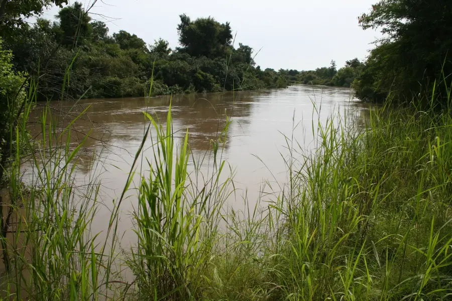
The southern outskirts offer a vast, quiet view towards the direction of the large wildlife reserves.
The residential areas are lined with large neem trees, providing shade and quiet away from the market.
Water temperature…
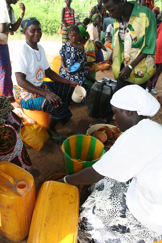
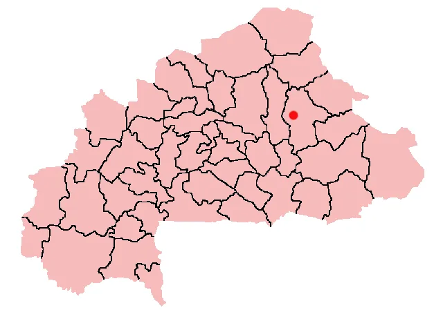
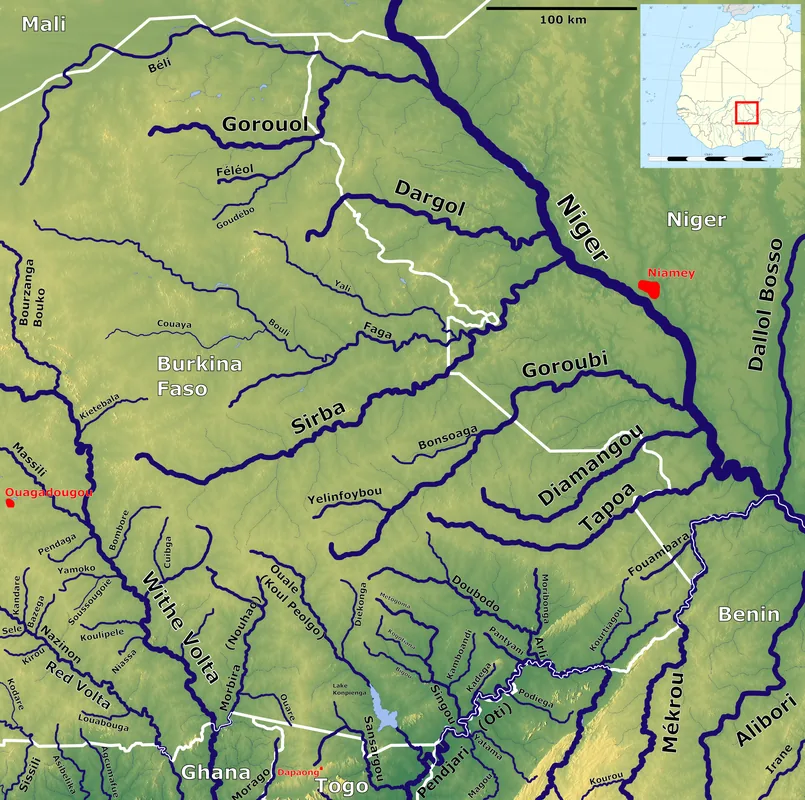
Diapaga is the capital of Tapoa Province in the far east of Burkina Faso, located near the borders with Niger and Benin. The town is a strategically important administrative seat and serves as a gateway to the Arly National Park and the cross-border W National Park. Geographically, the region is characterized by the foothills of the Atakora range, creating rock formations that are unusual for the country's otherwise flat landscape. Diapaga is predominantly inhabited by the Gourmantché people, whose traditional kingship has historically played a significant role in the area. The town features a local airfield that improves the accessibility of this remote region, although road connections are often challenging. The economy is based on agriculture, with cotton cultivation as an export commodity and livestock farming playing a central role. Due to its proximity to major nature reserves, Diapaga possesses significant potential for ecotourism, though this is currently affected by the security situation. Local architecture often showcases the traditional round mud houses typical of the Gourmantché culture.
- Location: Burkina Faso
- Population: ~15.515 (2026)
Best time to visit & climate
The most pleasant time to visit is Jan, Nov, Dec.
| Jan | Feb | Mar | Apr | May | Jun | Jul | Aug | Sep | Oct | Nov | Dec | |
|---|---|---|---|---|---|---|---|---|---|---|---|---|
| Avg °C | 24 | 28 | 31 | 33 | 31 | 29 | 27 | 26 | 26 | 27 | 27 | 25 |
| Rain mm | 0 | 2 | 5 | 35 | 69 | 106 | 163 | 213 | 138 | 52 | 3 | 0 |
Geography
Facts
- Capital city of the Tapoa Province in eastern Burkina.
- Main access point to the Arly National Park.
- Hosts a local airfield for regional connections.
- Population primarily consists of the Gourmantché ethnic group.
- Located near the international borders with Niger and Benin.
- Regional center for the trade of cotton and livestock.
Explore nearby
Notable places around
Route planner — Car & Motorhome
Where do you start? We build the route here, with stops and country notes along the way.
© OpenStreetMap contributors · OpenRouteService
Sights in the town Diapaga (1)
Frequently asked questions
Is Diapaga touristically important?
What is the surroundings like?
Best time for safaris?
What do locals eat?
Are there hotels?
Diapaga: where is it located?
Diapaga: when is the best time to visit?
Diapaga: why is it worth visiting?

Nearby cities

History & landmarks
Nature
More places