Plizio Visual Lab
Ouargaye
ℹ️Practical info — Ouargaye
▾
🌤 Weather — 5 days
📍 Nearby
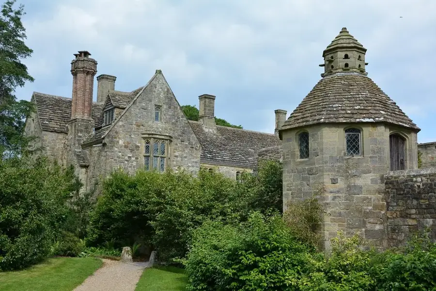
Sights nearby
💡 Tips
- Carry cash (CFA francs) as ATMs are extremely rare in this area.
- Travel early in the morning to avoid the intense midday heat.
- Market days are the best time to experience regional trade, including goods from nearby Togo.
- For local transport, rely on shared taxis or negotiate a motorbike ride.
🍽 Food
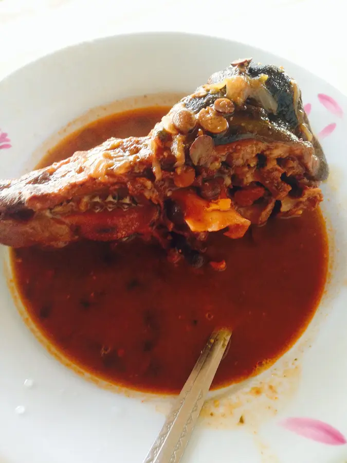
Millet or sorghum paste with okra sauce, commonly available at local eateries.
Mouton or chicken grilled at street-side stalls during the evening hours.
Traditional millet beer often served in local rural cabarets.
🛍 Shopping · 🧘 Quiet spots
Explore agricultural products and cross-border trade goods from Togo.
Colorful West African textiles sold by local vendors around the market area.
Peaceful paths near the agricultural fields just outside the town center.
Rest under large local trees, away from the bustling main roads.
Water temperature…
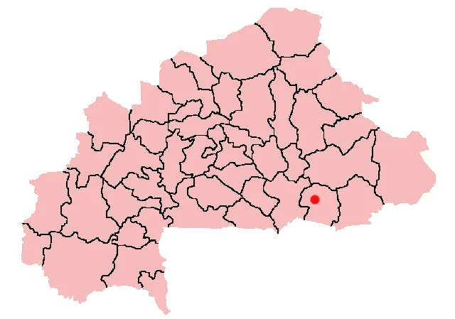
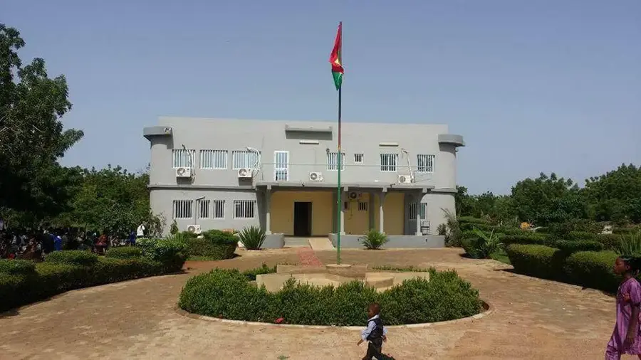
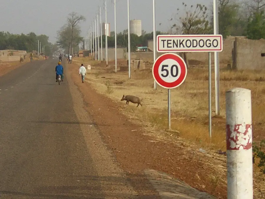
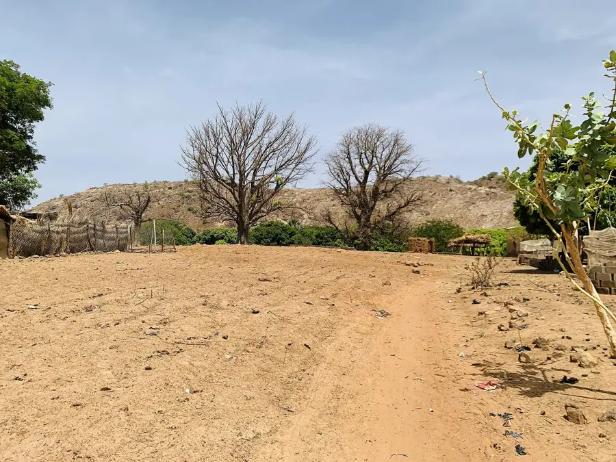
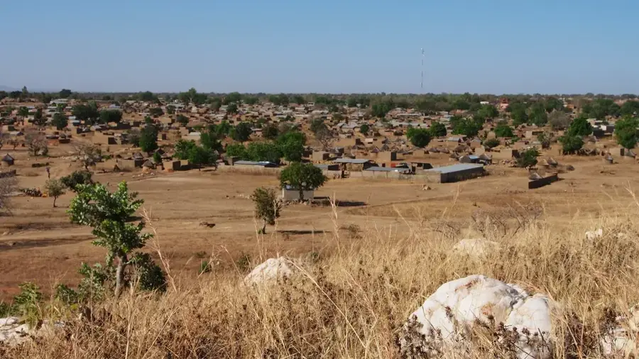
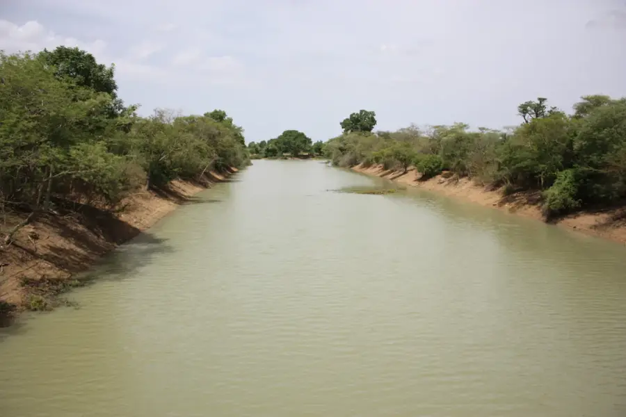
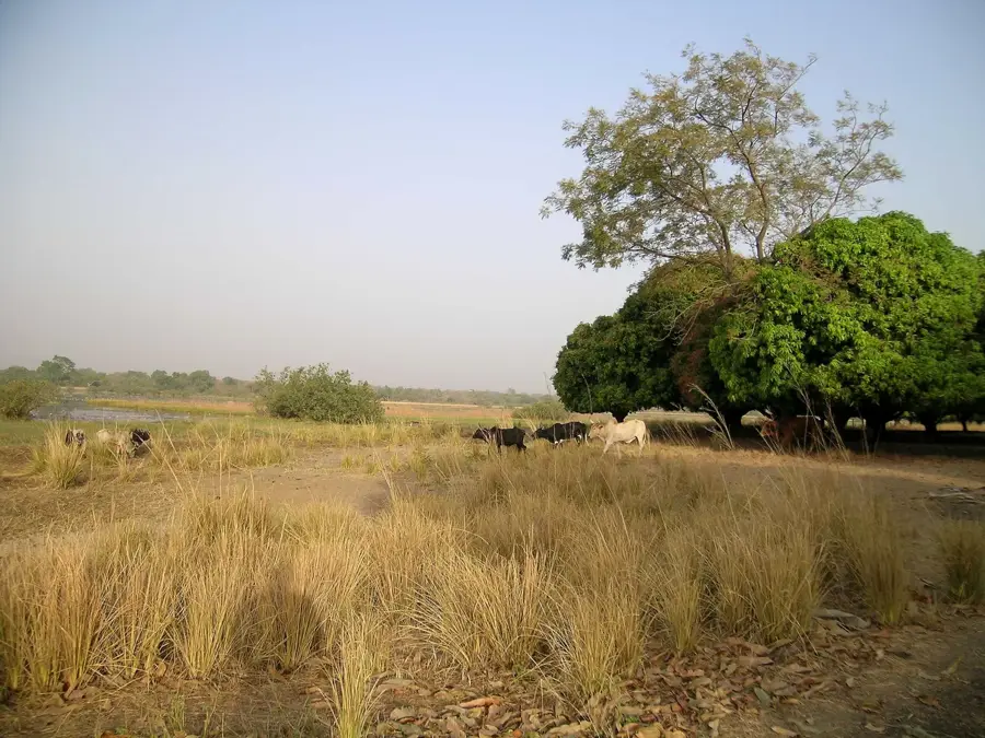
Ouargaye is the capital of Koulpélogo Province in the Centre-Est Region of Burkina Faso, strategically located in the southeast of the country. The town is the administrative and cultural center of the Bissa people, whose traditions and language significantly shape daily life in Ouargaye. Geographically, the region is characterized by a hilly savanna landscape that provides fertile soil for the cultivation of peanuts, maize, and rice. Historically, Ouargaye has been an important connection point for trade between Burkina Faso, Togo, and Ghana, contributing to dynamic economic development. Today, the local economy benefits from this cross-border exchange and a lively market that attracts traders from the wide surrounding area every week. Ouargaye hosts key administrative offices, educational institutions, and a health center ensuring medical care for Koulpélogo Province. The town's infrastructure has seen improvements in recent years, particularly through the expansion of road connections to Tenkodogo and the border. Despite this progress, sustainable management of natural resources in the face of climate change remains a central challenge for the local community. Culturally, Ouargaye is known for its traditional dances and Bissa craftsmanship, which are proudly presented at festive occasions. The town plays an essential role in regional integration and serves as an engine for economic development in Koulpélogo.
- Location: Burkina Faso
- Nearby: Bittou (49 km)
- Population: ~13.431 (2026)
Best time to visit & climate
The most pleasant time to visit is Jan, Nov, Dec.
| Jan | Feb | Mar | Apr | May | Jun | Jul | Aug | Sep | Oct | Nov | Dec | |
|---|---|---|---|---|---|---|---|---|---|---|---|---|
| Avg °C | 24 | 28 | 31 | 32 | 30 | 29 | 27 | 26 | 26 | 27 | 26 | 24 |
| Rain mm | 1 | 3 | 8 | 41 | 83 | 114 | 181 | 245 | 169 | 66 | 3 | 0 |
Geography
Facts
- Ouargaye is the administrative center of Koulpélogo Province.
- The town is a significant center for the Bissa people.
- The region is known for its high peanut production.
- Ouargaye is located about 250 kilometers southeast of Ouagadougou.
- Proximity to the border with Togo favors cross-border trade.
- The town is connected to Tenkodogo via the N16 national highway.
Explore nearby
Notable places around
Route planner — Car & Motorhome
Where do you start? We build the route here, with stops and country notes along the way.
© OpenStreetMap contributors · OpenRouteService
Frequently asked questions
Where is Ouargaye?
Which province?
Is there trade?
What is the culture like?
Are tourists welcome?
Ouargaye: where is it located?
Ouargaye: when is the best time to visit?
Ouargaye: why is it worth visiting?

Nearby cities
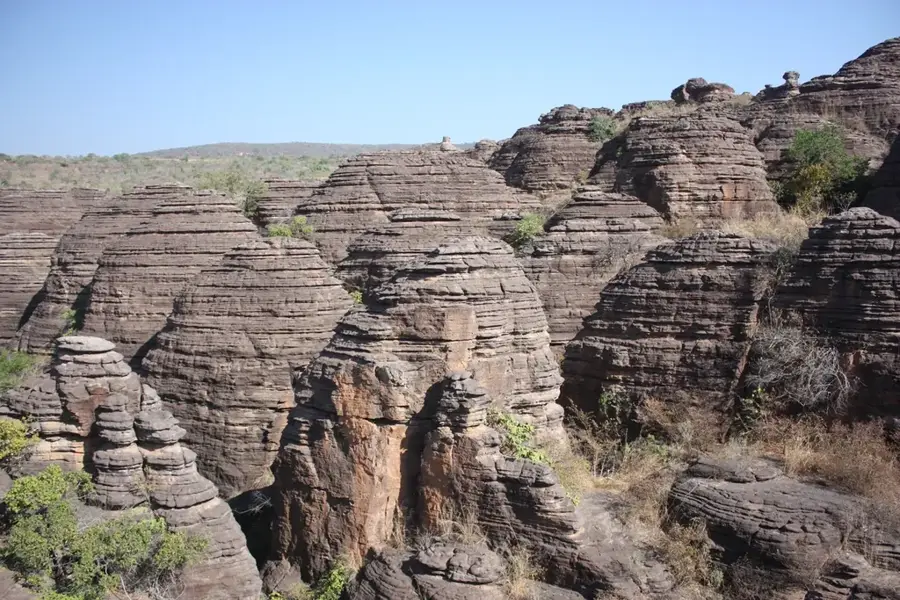
Nature
More places