Plizio Visual Lab
Sirba River
Weather…
Water temperature…
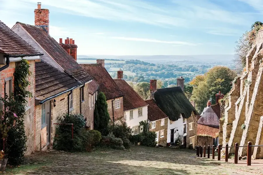
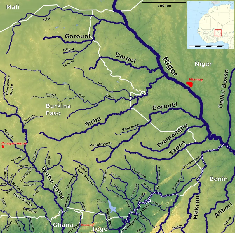
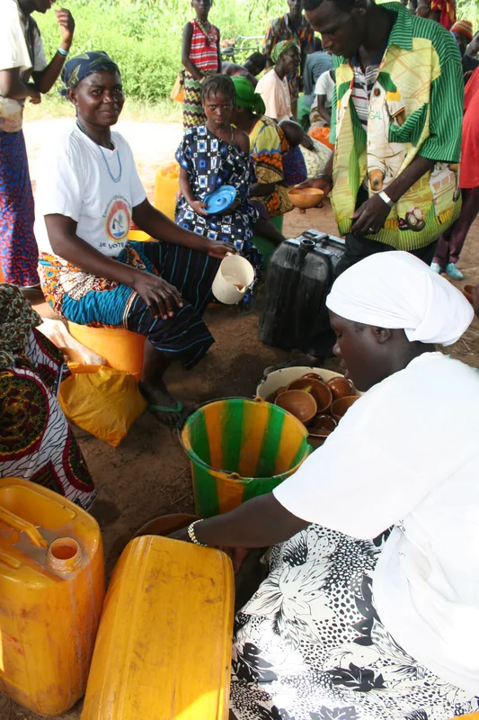
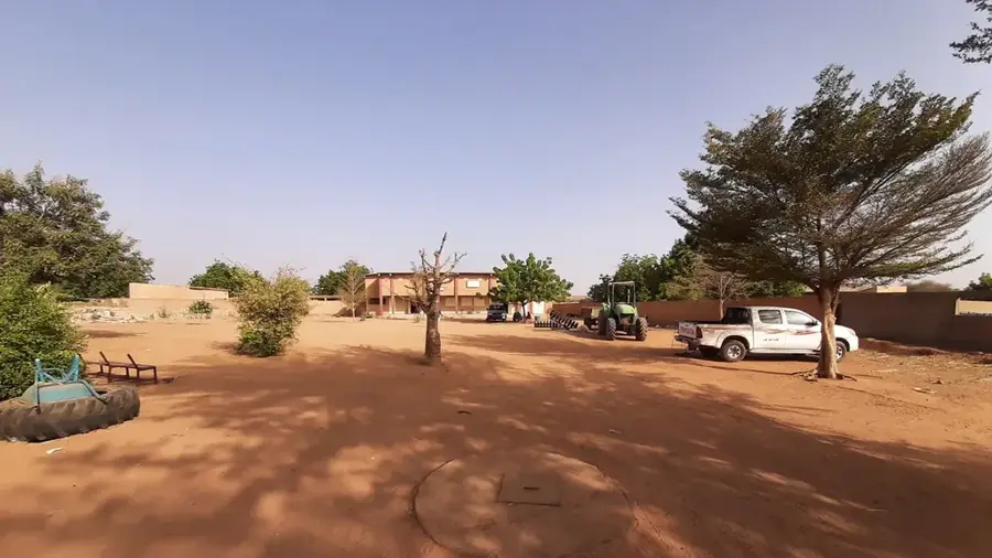
The Sirba River is a major tributary of the Niger River, originating in central Burkina Faso and flowing eastward into the state of Niger. With a total length of approximately 450 kilometers, the river drains a vast basin that is crucial for agriculture and the water supply of the eastern provinces. During the dry season, the upper reaches often transform into a chain of isolated pools, but in the rainy season, the Sirba swells into a powerful stream that regularly floods its banks. These periodic floods bring fertile sediment to the adjacent fields but also pose risks to infrastructure and settlements along the course. In the Arbinda region and further east, the river is used intensively for small-scale gold mining, which brings both economic opportunities and ecological challenges. The flora along the Sirba consists of typical gallery forests that provide shelter for numerous bird species and smaller mammals. Historically, the Sirba basin was an important corridor for trade routes between the Mossi kingdoms and the Niger Valley. In recent years, international early warning systems have been installed to protect the population from increasingly violent flooding events, which are intensified by climate change.
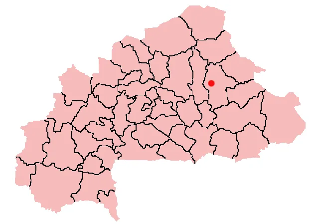
- Location: Burkina Faso
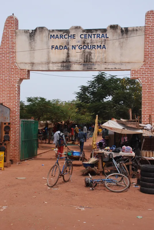
- Nearby: Sebba (75 km)
Best time to visit & climate
The most pleasant time to visit is Jan, Feb, Dec.
| Jan | Feb | Mar | Apr | May | Jun | Jul | Aug | Sep | Oct | Nov | Dec | |
|---|---|---|---|---|---|---|---|---|---|---|---|---|
| Avg °C | 23 | 27 | 31 | 34 | 34 | 32 | 29 | 27 | 28 | 29 | 27 | 24 |
| Rain mm | 0 | 1 | 1 | 8 | 23 | 84 | 143 | 201 | 88 | 21 | 0 | 0 |
📋 Practical info
Geography
Facts
- Major right-bank tributary of the Niger River.
- Approximately 450 kilometers in total length.
- Originates in the central plateau of Burkina Faso.
- Essential for the fertilization of eastern agricultural plains.
- Site of significant artisanal gold mining activities.
- Equipped with modern transboundary flood warning systems.
Explore nearby
Notable places around
Route planner — Car & Motorhome
Where do you start? We build the route here, with stops and country notes along the way.
© OpenStreetMap contributors · OpenRouteService
Sights nearby
Frequently asked questions
Where does the Sirba flow?
Is there gold panning at the river?
Is the river navigable?
What landscapes line the bank?
Can you go birdwatching there?
Sirba River: where is it located?
Sirba River: when is the best time to visit?
Sirba River: why is it worth visiting?

Nearby cities


More places