Plizio Visual Lab
Zvijezda Mountain
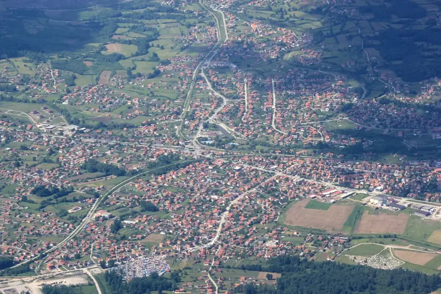
Zvijezda Mountain is situated in the central part of Bosnia and Herzegovina, north of Sarajevo, between the towns of Vareš and Olovo. With its highest peak reaching an elevation of 1,349 meters, the massif is a characteristic example of the Dinaric karst highlands. The region is renowned for its dense coniferous and mixed forests, which cover a large portion of the area and provide a vital habitat for wildlife such as bears and wolves. Geologically, the mountain consists primarily of sedimentary rocks, with the Vareš vicinity being historically famous for its rich iron ore deposits, which have driven the region's industrial development since the Middle Ages. Hikers and nature enthusiasts value the area for its pristine environment and the numerous springs that emerge in the lower elevations. The climate is subalpine, featuring snowy winters and moderate summer temperatures, making it a favored retreat for recreation. Culturally, the surrounding villages are characterized by traditional architecture and a long mining history that stretches back to Roman times.
- Location: Bosnia and Herzegovina
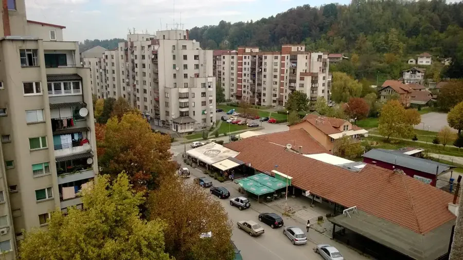
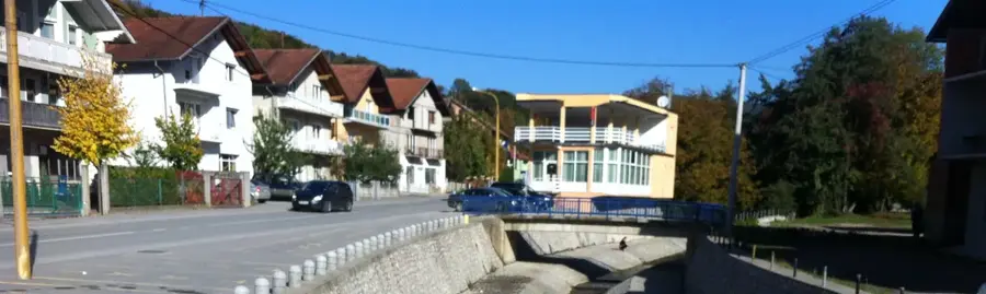
- Top sights: Mižnovići · Naseoci · Oćevija
- Nearby: Olovo (9 km)
Best time to visit & climate
The most pleasant time to visit is Jun–Aug.
| Jan | Feb | Mar | Apr | May | Jun | Jul | Aug | Sep | Oct | Nov | Dec | |
|---|---|---|---|---|---|---|---|---|---|---|---|---|
| Avg °C | -2 | -1 | 2 | 7 | 12 | 16 | 18 | 18 | 13 | 9 | 4 | -1 |
| Rain mm | 63 | 64 | 69 | 69 | 99 | 103 | 75 | 61 | 77 | 71 | 74 | 73 |
📋 Practical info
Geography
Facts
- The highest peak of Zvijezda Mountain reaches 1,349 meters.
- The mountain is located near the historical mining town of Vareš.
- Dense coniferous forests cover more than 70% of the mountain area.
- The Stavnja River originates within this mountain range.
- The geological formation consists mainly of limestone and dolomite.
- Historically, the area has been known for iron processing since the 14th century.
Explore nearby
Notable places around
Route planner — Car & Motorhome
Where do you start? We build the route here, with stops and country notes along the way.
© OpenStreetMap contributors · OpenRouteService
Sights in the town Zvijezda Mountain (3)
Sights nearby
Frequently asked questions
Where is the Zvijezda mountain located?
How high is the highest peak?
Is the mountain suitable for hikers?
Are there mountain huts on Zvijezda?
What is the best season to visit?
Zvijezda Mountain: where is it located?
Zvijezda Mountain: what is there to see?
Zvijezda Mountain: when is the best time to visit?
Zvijezda Mountain: why is it worth visiting?
Nearby cities