Plizio Visual Lab
Konjuh Protected Landscape
Weather…
Water temperature…
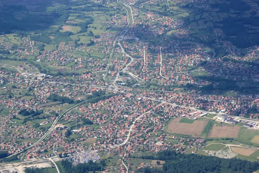
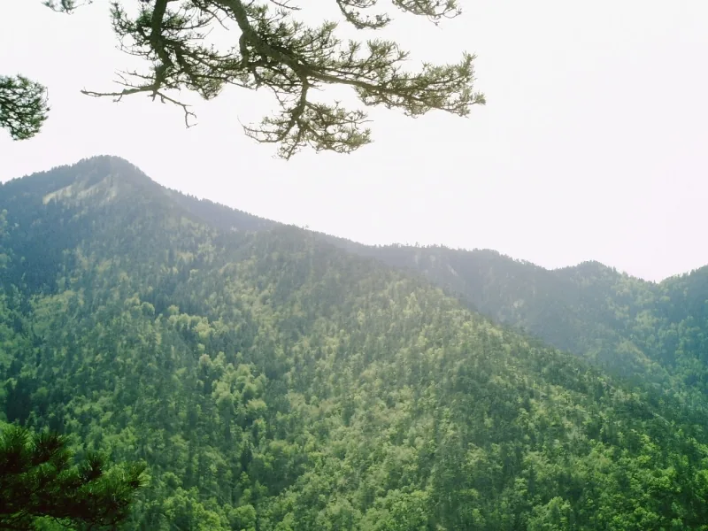
The Konjuh Protected Landscape spans a significant mountain massif in northeastern Bosnia and Herzegovina, primarily within the municipalities of Banovići, Kladanj, and Živinice. Covering an area of over 8,000 hectares, the region is characterized by its exceptional geological diversity, including serpentinite rocks and numerous complex cave systems. The dense forests are predominantly composed of conifers such as fir and spruce, alongside expansive beech stands, providing refuge for brown bears, wolves, and lynxes. A notable feature is Paučko Lake, a small mountain lake formed by natural geomorphological processes, which hosts a rich aquatic flora. Historically, Konjuh is renowned for its numerous stećci, medieval tombstones that bear witness to the region's deep cultural and historical roots. The highest peak of the massif reaches an elevation of 1,328 meters, offering commanding views of the surrounding river valleys. Today, the area is a popular destination for mountain tourism, hiking, and the scientific study of endemic flora, while the conservation of vital water catchments remains a top administrative priority.
- Location: Bosnia and Herzegovina
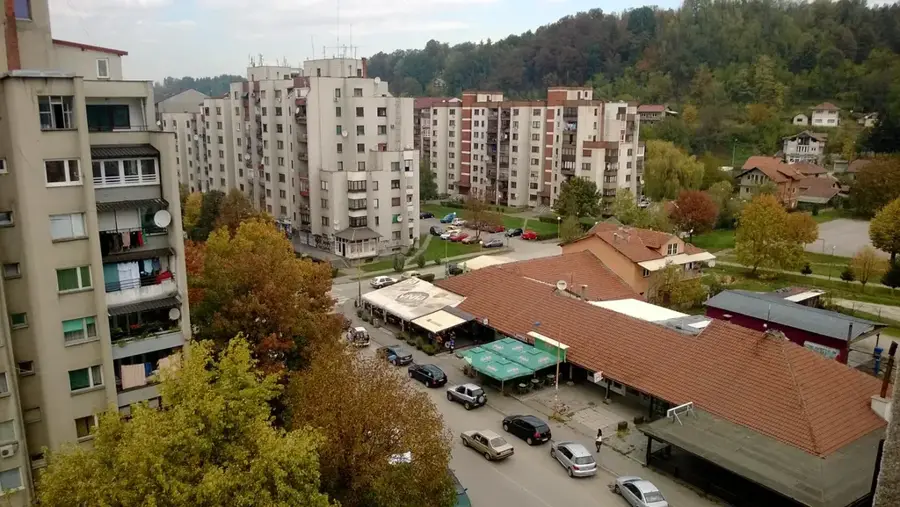
- Nearby: Banovići (9 km)
Best time to visit & climate
The most pleasant time to visit is Jun–Aug.
| Jan | Feb | Mar | Apr | May | Jun | Jul | Aug | Sep | Oct | Nov | Dec | |
|---|---|---|---|---|---|---|---|---|---|---|---|---|
| Avg °C | 0 | 1 | 6 | 11 | 15 | 20 | 22 | 23 | 17 | 12 | 7 | 1 |
| Rain mm | 60 | 60 | 65 | 65 | 94 | 94 | 67 | 63 | 74 | 66 | 65 | 66 |
📋 Practical info
Geography
Facts
- The highest point of the Konjuh mountain range reaches 1,328 meters.
- The total protected area of the landscape exceeds 8,000 hectares.
- Numerous medieval tombstones known as stećci are scattered throughout the region.
- Paučko Lake is a key natural landmark and ecological site within the park.
- The mountain is largely composed of serpentinite, a relatively rare rock type.
- Konjuh serves as a crucial water catchment for the Oskova and Drinjača rivers.
Explore nearby
Notable places around
Route planner — Car & Motorhome
Where do you start? We build the route here, with stops and country notes along the way.
© OpenStreetMap contributors · OpenRouteService
Sights in the town Konjuh Protected Landscape (1)
Sights nearby
Frequently asked questions
Where is the Konjuh Protected Landscape located?
What are the most popular activities?
Are there caves there?
Which tree species dominate Konjuh?
Are there dining facilities in the reserve?
Konjuh Protected Landscape: where is it located?
Konjuh Protected Landscape: when is the best time to visit?
Konjuh Protected Landscape: why is it worth visiting?
Nearby cities