Plizio Visual Lab
Konjuh
Weather…
Water temperature…
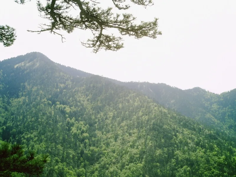
Konjuh is a mountain range in northeastern Bosnia and Herzegovina, located south of the city of Tuzla. Its highest peak is Veliki Konjuh, reaching an altitude of 1,328 meters. The mountain is a protected landscape area, renowned for its extraordinary biodiversity and well-preserved natural environment. Dense forests dominated by beech, fir, and spruce provide a rich habitat for various wildlife species. Geologically, Konjuh is distinct from the typical limestone Dinaric mountains, as it is composed largely of igneous rocks such as diabase and serpentinite. A significant cultural heritage of the area are the medieval stećci tombstones scattered throughout its forests and meadows. Konjuh is a favorite destination for outdoor enthusiasts, offering excellent opportunities for hiking, mountain biking, and rock climbing. Furthermore, numerous clear mountain streams originate here, serving as a primary source of clean water for the surrounding regions.
- Location: Bosnia and Herzegovina
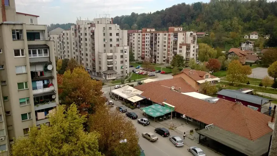
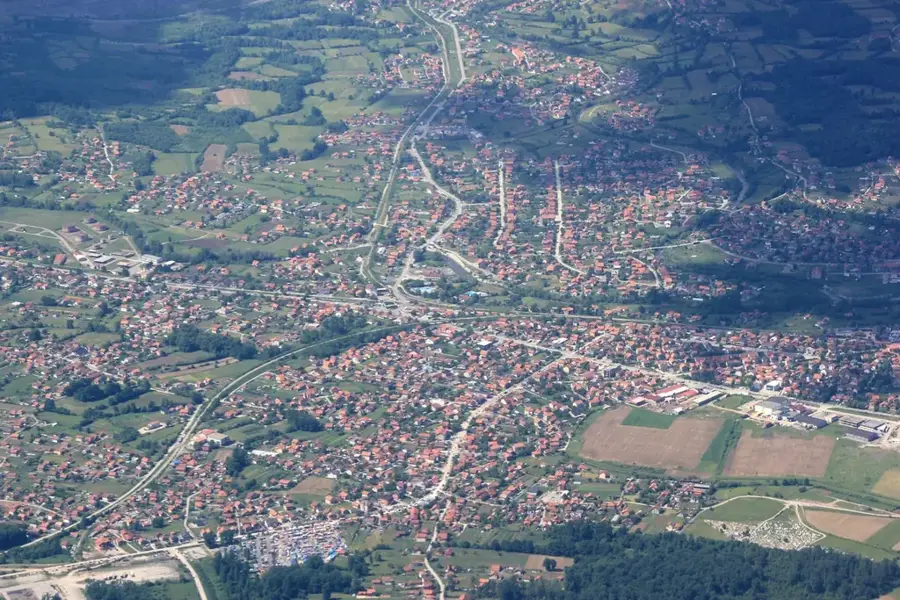
- Nearby: Kladanj (11 km)
Best time to visit & climate
The most pleasant time to visit is Jun–Aug.
| Jan | Feb | Mar | Apr | May | Jun | Jul | Aug | Sep | Oct | Nov | Dec | |
|---|---|---|---|---|---|---|---|---|---|---|---|---|
| Avg °C | 0 | 1 | 6 | 11 | 15 | 20 | 22 | 23 | 17 | 12 | 7 | 1 |
| Rain mm | 60 | 60 | 65 | 65 | 94 | 94 | 67 | 63 | 74 | 66 | 65 | 66 |
📋 Practical info
Geography
Facts
- The peak of Veliki Konjuh stands at 1,328 meters.
- The area was designated as a protected landscape in 2009.
- The rare brown trout can be found in the mountain's streams.
- There are over 30 registered stećci necropolises in the range.
- The town of Banovići is a major gateway for hikers.
- The mountain range is rich in minerals, including quartz.
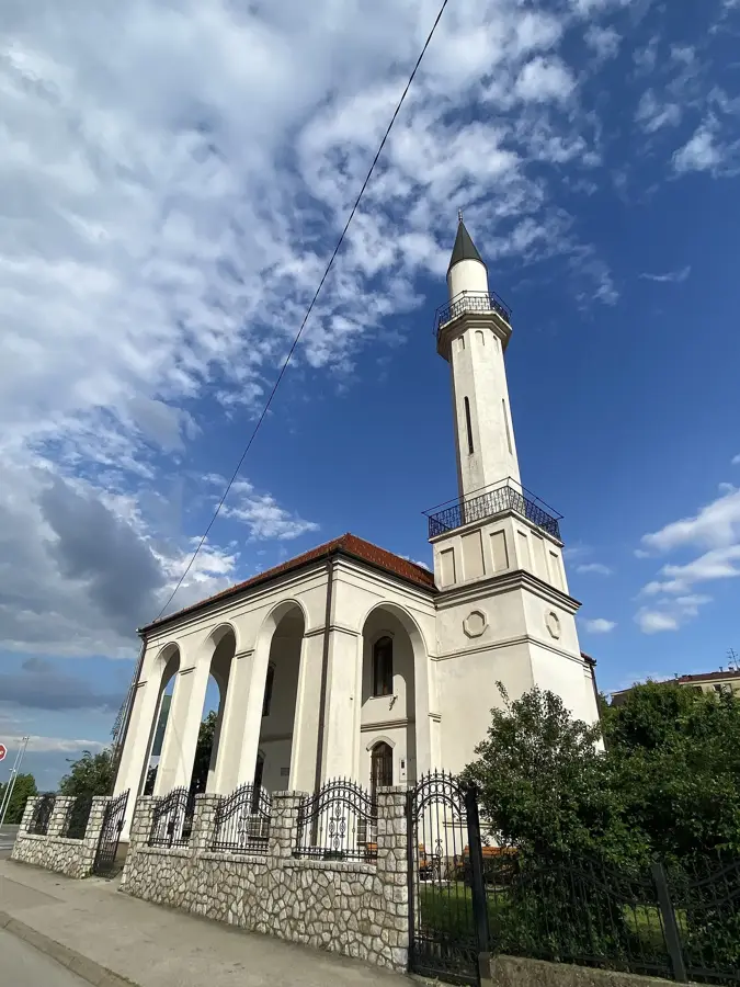
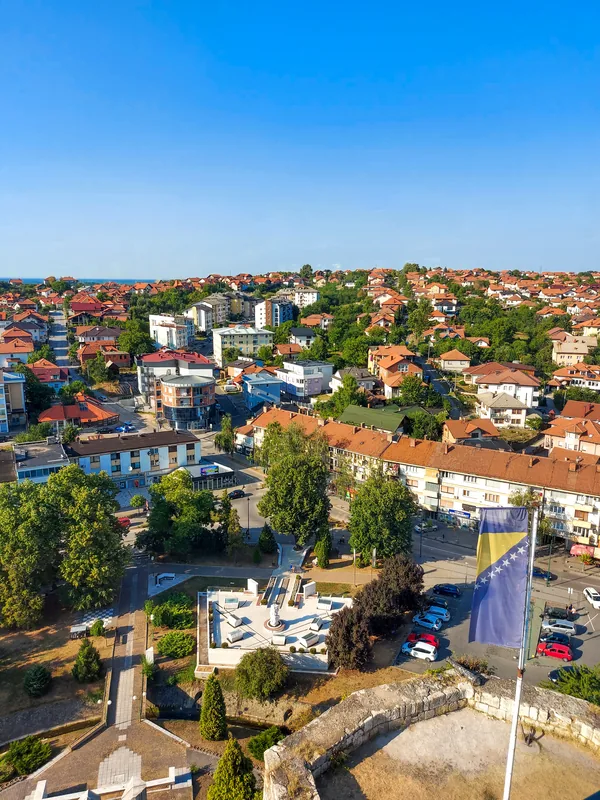
Explore nearby
Notable places around
Route planner — Car & Motorhome
Where do you start? We build the route here, with stops and country notes along the way.
© OpenStreetMap contributors · OpenRouteService
Sights in the town Konjuh (1)
Sights nearby
Frequently asked questions
What is the Konjuh protected area?
Which place is ideal for picnics?
Are there cycling trails on Konjuh?
How high is the summit of Konjuh?
Can Stećci (medieval tombstones) be found here?
Konjuh: where is it located?
Konjuh: when is the best time to visit?
Konjuh: why is it worth visiting?
Nearby cities