Plizio Visual Lab
Visočica

ℹ️Practical info — Visočica
▾
🌤 Weather — 5 days
📍 Nearby
Sights nearby
💡 Tips
- Mountain weather changes rapidly; bring warm layers even in summer.
- The road from Sarajevo via Bjelašnica is scenic but narrow; drive carefully.
- Cell phone reception is spotty; download offline maps or bring a physical map.
- Beware of unexploded mines from the war; always stick to marked trails.
- Water sources on the ridges are rare; carry plenty of drinking water.
🍽 Food
Grab this savory pastry from a bakery in Sarajevo before heading into the mountains.
Fried dough balls served with thick cream, often found in mountain huts.
Look for roadside restaurants on the route towards the mountains.
🛍 Shopping · 🧘 Quiet spots
Often sold by villagers at small roadside stands along the mountain routes.
Hand-knitted by local women, a great souvenir from the mountain lodges.
Gathered locally and sold in small bags at markets or in villages.
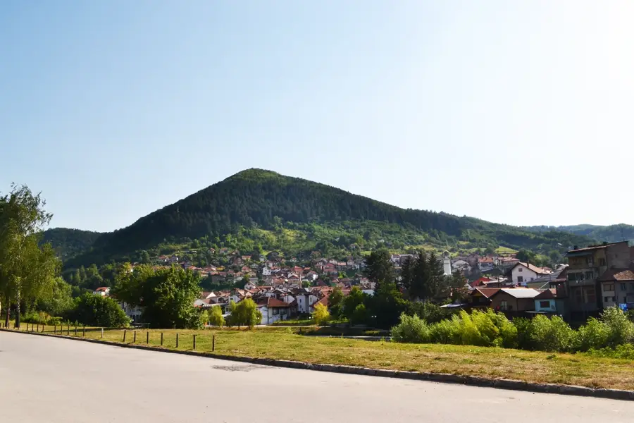
The highest point of Visočica, good for solitude and sweeping views.
A remote necropolis of medieval tombstones set in the quiet landscape.
Offer wide-open, peaceful views deep into the canyon.
Water temperature…
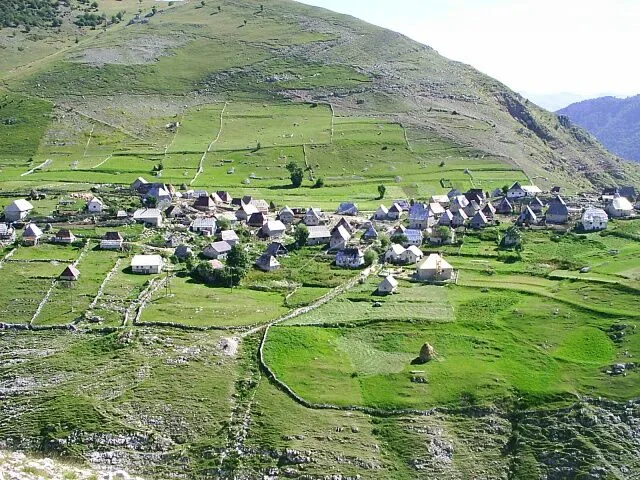
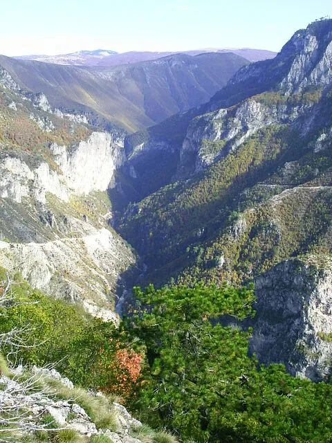
Visočica is a mountain range of untamed beauty, located south of the famous Bjelašnica and separated from it by the spectacular Rakitnica Canyon. Its landscape is a striking mix of high-altitude pastures and dramatic ridges leading to peaks like Džamija (1967 m). Visočica is renowned for its cultural heritage, with numerous medieval stećci tombstones scattered across its high ridges, offering some of the most scenic burial sites in Europe. Hikers are drawn here for the solitude and the striking views into the 800-meter-deep canyon below. With its traditional shepherd villages and pristine wilderness, Visočica features an authentic experience of the Dinaric highlands, far from the modern world.
- Location: Bosnia and Herzegovina
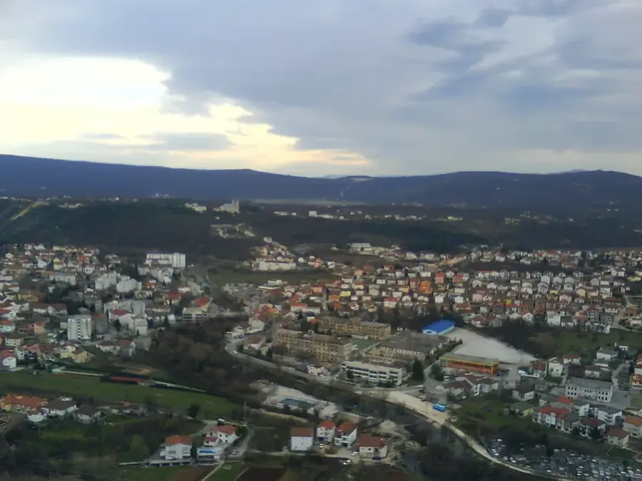
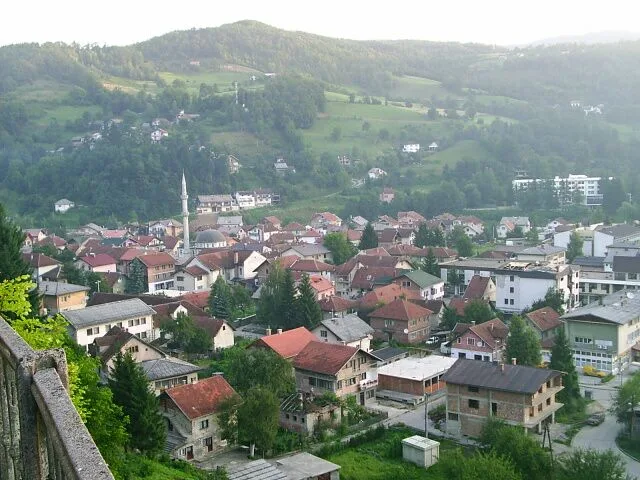
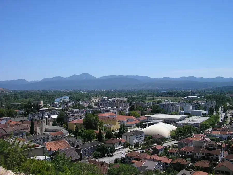
- Nearby: Bjelimići (8 km)
Best time to visit & climate
The most pleasant time to visit is Jun–Aug.
| Jan | Feb | Mar | Apr | May | Jun | Jul | Aug | Sep | Oct | Nov | Dec | |
|---|---|---|---|---|---|---|---|---|---|---|---|---|
| Avg °C | -1 | -1 | 3 | 8 | 12 | 16 | 19 | 19 | 14 | 10 | 5 | 0 |
| Rain mm | 101 | 96 | 91 | 76 | 77 | 74 | 48 | 48 | 86 | 98 | 120 | 115 |
Geography
Facts
- Highest peak is Džamija (1967 m)
- Overlooks the Rakitnica Canyon
- Numerous stećci tombstones
- Home to traditional villages
- Located south of Sarajevo
- Pristine alpine pastures
- Spectacular ridge hiking
- Off-the-beaten-path destination
Explore nearby
Notable places around
Route planner — Car & Motorhome
Where do you start? We build the route here, with stops and country notes along the way.
© OpenStreetMap contributors · OpenRouteService
Sights in the town Visočica (1)
Frequently asked questions
How does Visočica differ from other mountains?
Can you find Stećci there?
Is Visočica suitable for beginners?
Are there mountain huts?
Can you drive up there?
Visočica: where is it located?
Visočica: when is the best time to visit?
Visočica: why is it worth visiting?
Nearby cities


History & landmarks
Nature
More places