Plizio Visual Lab
Romanija
Weather…
Water temperature…
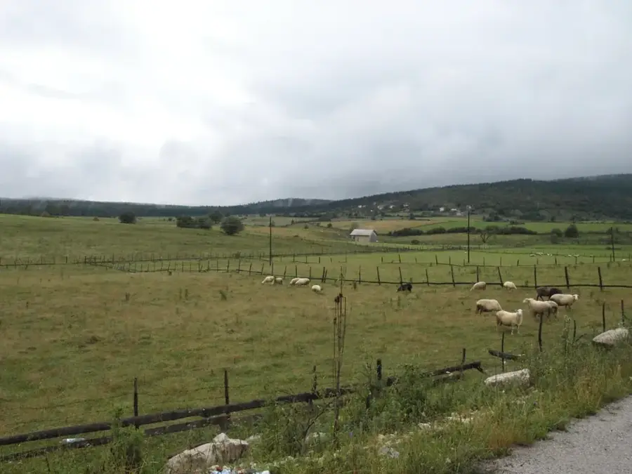
Romanija is a karst mountain range located in eastern Bosnia and Herzegovina, rising northeast of Sarajevo between the towns of Pale and Sokolac. Its highest peak is Veliki Lupoglav, reaching an elevation of 1,652 meters above sea level. The mountain is characterized by its imposing limestone cliffs, particularly the Crvene stijene (Red Rocks), which provide a dramatic backdrop to the surrounding plateau. Historically, Romanija has been a site of strategic importance, serving as a refuge for hajduks during the Ottoman period, with Novak's Cave being a famous landmark associated with the legendary Starina Novak. In modern times, the mountain is a popular destination for rock climbing, hiking, and paragliding, offering a network of marked trails and mountain huts. The Romanija plateau is also known for its extensive coniferous forests and traditional livestock farming practices, which remain vital to the local identity.
- Location: Bosnia and Herzegovina
- Top sights: Vidikovac · Crvene Stijene
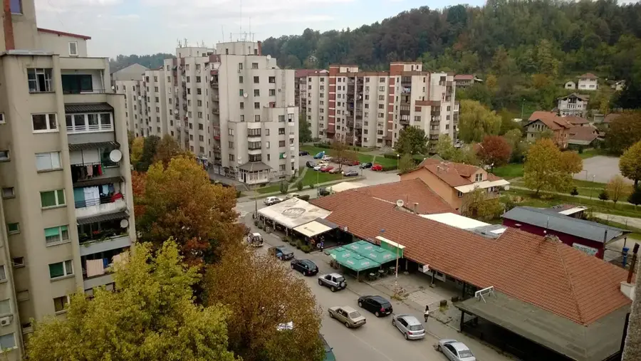
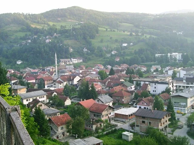
- Nearby: Pale (11 km)
Best time to visit & climate
The most pleasant time to visit is Jun–Aug.
| Jan | Feb | Mar | Apr | May | Jun | Jul | Aug | Sep | Oct | Nov | Dec | |
|---|---|---|---|---|---|---|---|---|---|---|---|---|
| Avg °C | -2 | -1 | 2 | 7 | 12 | 16 | 18 | 18 | 13 | 9 | 4 | -1 |
| Rain mm | 63 | 64 | 69 | 69 | 99 | 103 | 75 | 61 | 77 | 71 | 74 | 73 |
📋 Practical info
Geography
Facts
- The highest peak, Veliki Lupoglav, stands at 1,652 meters.
- Novak's Cave is situated at an altitude of 1,515 meters.
- The Red Rocks (Crvene stijene) are a famous climbing destination.
- The mountain range is a key center for the regional timber industry.
- In 1991, it was the center of the Serbian Autonomous Oblast of Romanija.
- The area contains several medieval stećci tombstone sites.
Explore nearby
Notable places around
Route planner — Car & Motorhome
Where do you start? We build the route here, with stops and country notes along the way.
© OpenStreetMap contributors · OpenRouteService
Sights in the town Romanija (2)
Sights nearby
Frequently asked questions
What are the Red Rocks (Crvene stijene)?
Where is Novak's Cave located?
Can Romanija be visited from Sarajevo?
What activities are available?
Are there accommodation options on the mountain?
Romanija: where is it located?
Romanija: what is there to see?
Romanija: when is the best time to visit?
Romanija: why is it worth visiting?
Nearby cities