Plizio Visual Lab
Trebević
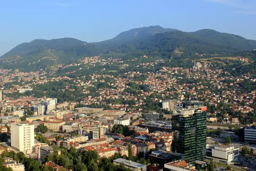
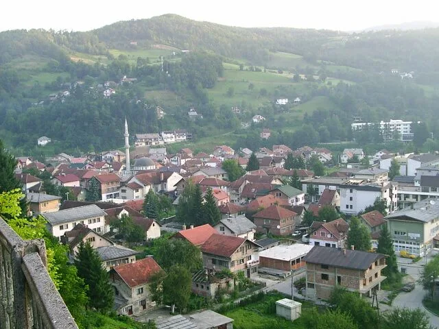
Mount Trebević rises immediately southeast of Sarajevo, reaching a peak elevation of 1,627 meters and serving as the city's primary recreational escape. Known as the 'lungs of Sarajevo', the mountain is cherished for its thick pine and spruce forests that provide a cool retreat during the summer months. It gained global fame during the 1984 Winter Olympics as the venue for the bobsleigh and luge competitions. The abandoned bobsleigh track, now a canvas for street art, remains one of the most visited historical landmarks on the mountain. In 2018, the iconic Sarajevo Cable Car was reopened, transporting visitors from the old city center to the mountain's upper slopes in just minutes. Geologically diverse, Trebević features a mix of limestone and volcanic rock, supporting over 100 endemic plant species. The summit provides unparalleled panoramic views of the Sarajevo valley, making it a favorite spot for photographers and outdoor enthusiasts year-round.
- Location: Bosnia and Herzegovina
- Top sights: Eksponat bob staze · Trebević Protected Landscape · Vidikovac
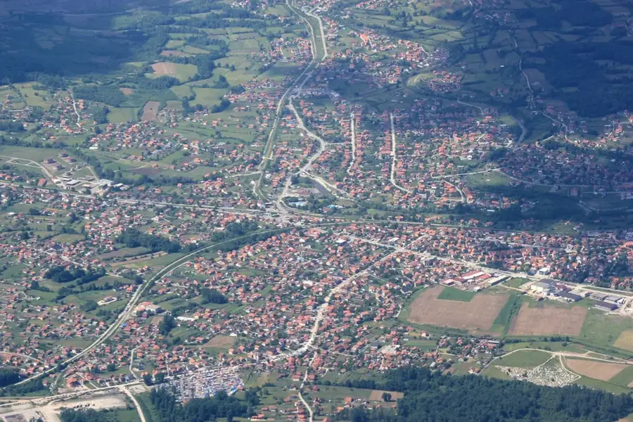
- Nearby: East Sarajevo (6 km)
Best time to visit & climate
The most pleasant time to visit is Jun–Aug.
| Jan | Feb | Mar | Apr | May | Jun | Jul | Aug | Sep | Oct | Nov | Dec | |
|---|---|---|---|---|---|---|---|---|---|---|---|---|
| Avg °C | -2 | -1 | 2 | 7 | 12 | 16 | 18 | 18 | 13 | 9 | 4 | -1 |
| Rain mm | 63 | 64 | 69 | 69 | 99 | 103 | 75 | 61 | 77 | 71 | 74 | 73 |
📋 Practical info
Geography
Facts
- The highest point of Trebević is 1,627 meters above sea level.
- The Olympic bobsleigh track spans 1,300 meters with a 125-meter vertical drop.
- The Sarajevo Cable Car was originally built in 1959 and reopened in 2018.
- The mountain is home to rare species like the Bosnian maple.
- The summit can be reached via several trails starting from the city center.
- The area was designated as a Protected Landscape in 2014.
Explore nearby
Notable places around
Route planner — Car & Motorhome
Where do you start? We build the route here, with stops and country notes along the way.
© OpenStreetMap contributors · OpenRouteService
Sights in the town Trebević (10)
Majdan kamena
Archaeological site of a former stone quarry on Trebević mountain.
Utvrda Draguljac
Archaeological site of a fortress on Trebević mountain, Sarajevo.
Austro-ugarski artiljerijski položaji iz I. svj. rata
Ruins of Austro-Hungarian artillery positions from World War I.
Bistrik Kula🏰 castle
Former observatory in Bosnia and Herzegovina, known as a castle.
Letnji tobogan
Summer slide on Trebević mountain, Sarajevo, for recreational activities.
Zoološki vrt domaćih životinja
Zoo with domestic animals on Trebević mountain, Sarajevo.
Spomen obilježje Kazani
Monument on Trebević mountain, commemorating the victims of Kazani.
Sights nearby
Frequently asked questions
How do you get from Sarajevo to Trebević?
What is the bobsleigh track?
What is the view like?
Are there restaurants at the top?
How high is Trebević?
Trebević: where is it located?
Trebević: what is there to see?
Trebević: when is the best time to visit?
Trebević: why is it worth visiting?
Nearby cities