Plizio Visual Lab
Majevica
Weather…
Water temperature…
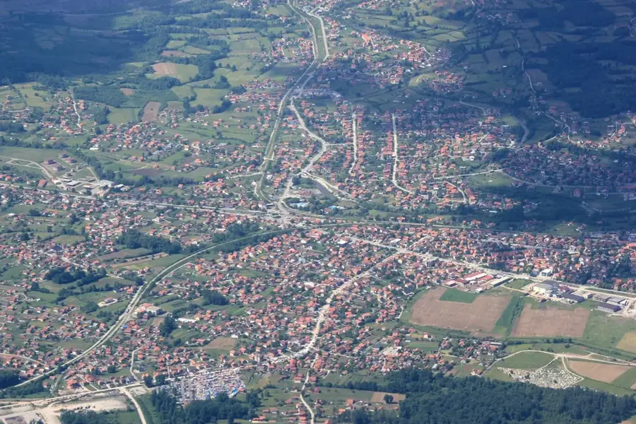
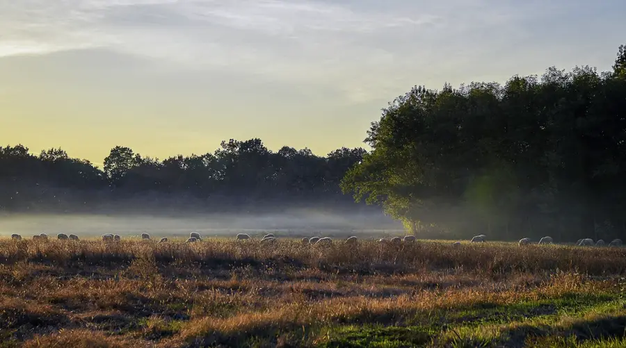
Majevica is a low mountain range in northeastern Bosnia and Herzegovina, acting as a natural barrier between the Semberija and Posavina plains and the Tuzla basin. Its highest elevation is the Stolice peak, reaching 916 meters. Geologically, the range is highly diverse and rich in mineral resources, including brown coal, rock salt, and quartz sand, which have historically driven the industrial growth of nearby Tuzla. The climate is moderate continental, making the lower slopes convenient for agriculture and fruit cultivation, particularly plums. Historically, Majevica was a crossroads for trade routes, leaving behind a legacy of medieval fortresses and stećci tombstone sites. Today, it is a vital recreational area for the residents of Tuzla and Bijeljina, featuring numerous hiking trails and scenic viewpoints that offer expansive vistas over the Pannonian Plain to the north.
- Location: Bosnia and Herzegovina
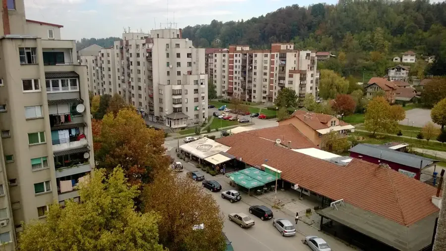
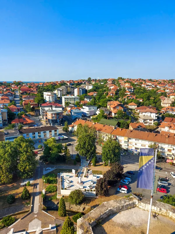
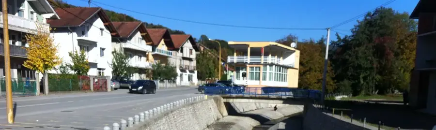
- Top sights: Podgora, Lopare · Potraš
- Nearby: Lopare (7 km)
Best time to visit & climate
The most pleasant time to visit is Jun–Aug.
| Jan | Feb | Mar | Apr | May | Jun | Jul | Aug | Sep | Oct | Nov | Dec | |
|---|---|---|---|---|---|---|---|---|---|---|---|---|
| Avg °C | 0 | 1 | 6 | 11 | 15 | 20 | 22 | 23 | 17 | 12 | 7 | 1 |
| Rain mm | 60 | 60 | 65 | 65 | 94 | 94 | 67 | 63 | 74 | 66 | 65 | 66 |
📋 Practical info
Geography
Facts
- The highest point, Stolice, is 916 meters above sea level.
- The Majevica range is approximately 60 kilometers long.
- The region contains significant deposits of rock salt and coal.
- The Stolice peak was home to a strategically important TV tower.
- Medieval stećci tombstones in the area date back to the 14th century.
- The range acts as a drainage divide between the Sava and Drina rivers.
Explore nearby
Notable places around
Route planner — Car & Motorhome
Where do you start? We build the route here, with stops and country notes along the way.
© OpenStreetMap contributors · OpenRouteService
Sights in the town Majevica (2)
Sights nearby
Frequently asked questions
Where is the Majevica mountain range located?
How high is the highest point, Stolice?
What can you see on Majevica?
Is it a difficult hiking area?
Are there local specialties?
Majevica: where is it located?
Majevica: what is there to see?
Majevica: when is the best time to visit?
Majevica: why is it worth visiting?
Nearby cities