Plizio Visual Lab
Teočak Fortress
Weather…
Water temperature…
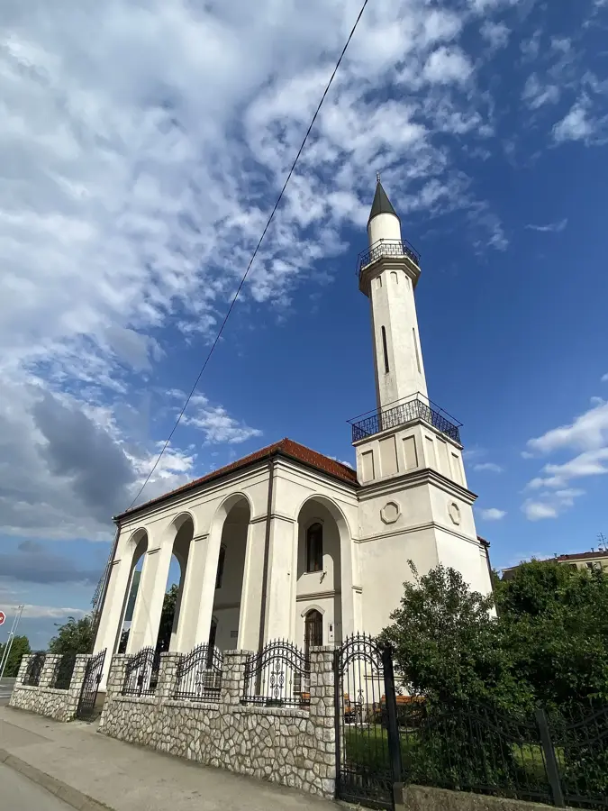
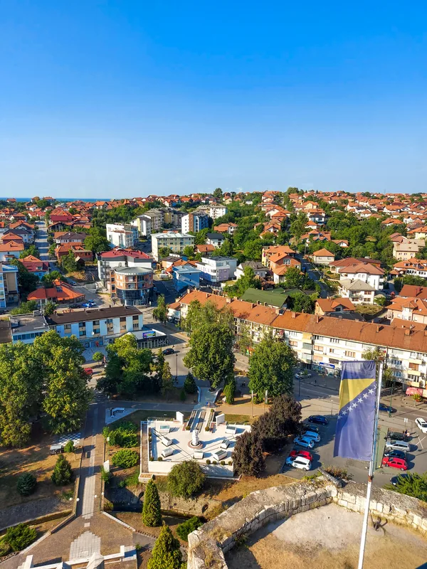
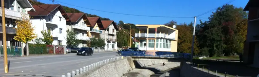
Teočak Fortress is located in northeastern Bosnia and served as a crucial strategic outpost between the Majevica mountain and the fertile plains of the Drina and Sava rivers. Built in the 14th century, the fortress is historically associated with the Serbian Despot Đurađ Branković, who expanded the site in the 15th century to bolster defenses. It functioned as a key barrier against Hungarian and later Ottoman territorial ambitions. The architecture features imposing towers and thick stone walls situated on a high, defensible hill. Adjacent to the ruins stands the Fethija Mosque, one of the oldest in the region, which was originally a church before the Ottoman conquest. Teočak witnessed numerous sieges and battles, particularly during the early 16th century. The remaining structures provide significant evidence of medieval fortification techniques and the diverse cultural influences that shaped the region over centuries.
- Location: Bosnia and Herzegovina
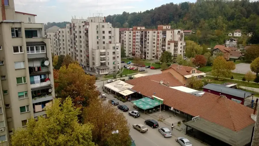
- Nearby: Lopare (11 km)
Best time to visit & climate
The most pleasant time to visit is Jun–Aug.
| Jan | Feb | Mar | Apr | May | Jun | Jul | Aug | Sep | Oct | Nov | Dec | |
|---|---|---|---|---|---|---|---|---|---|---|---|---|
| Avg °C | 0 | 1 | 6 | 11 | 15 | 20 | 22 | 23 | 17 | 12 | 7 | 1 |
| Rain mm | 60 | 60 | 65 | 65 | 94 | 94 | 67 | 63 | 74 | 66 | 65 | 66 |
📋 Practical info
Geography
Facts
- The fortress was constructed in the 14th century to monitor movement along the Drina.
- Serbian Despot Đurađ Branković strengthened the fortifications in the 15th century.
- Ottoman forces captured the stronghold in 1521 during their northern campaigns.
- The Fethija Mosque nearby was originally a church dedicated to Saint George.
- Its strategic location earned it the nickname 'Guardian of the Northeast'.
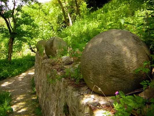
- Archaeologists have found medieval gravestones known as Stećci in the vicinity.
Explore nearby
Notable places around
Route planner — Car & Motorhome
Where do you start? We build the route here, with stops and country notes along the way.
© OpenStreetMap contributors · OpenRouteService
Sights in the town Teočak Fortress (1)
Sights nearby
Frequently asked questions
Where is the Teočak fortress located?
What else is worth seeing besides the fortress?
Is the Teočak fortress developed for tourism?
What is the road connection to Teočak like?
Is there a viewing platform?
Teočak Fortress: where is it located?
Teočak Fortress: when is the best time to visit?
Teočak Fortress: why is it worth visiting?
Nearby cities