Plizio Visual Lab
Navahrudak Upland
Weather…
Water temperature…
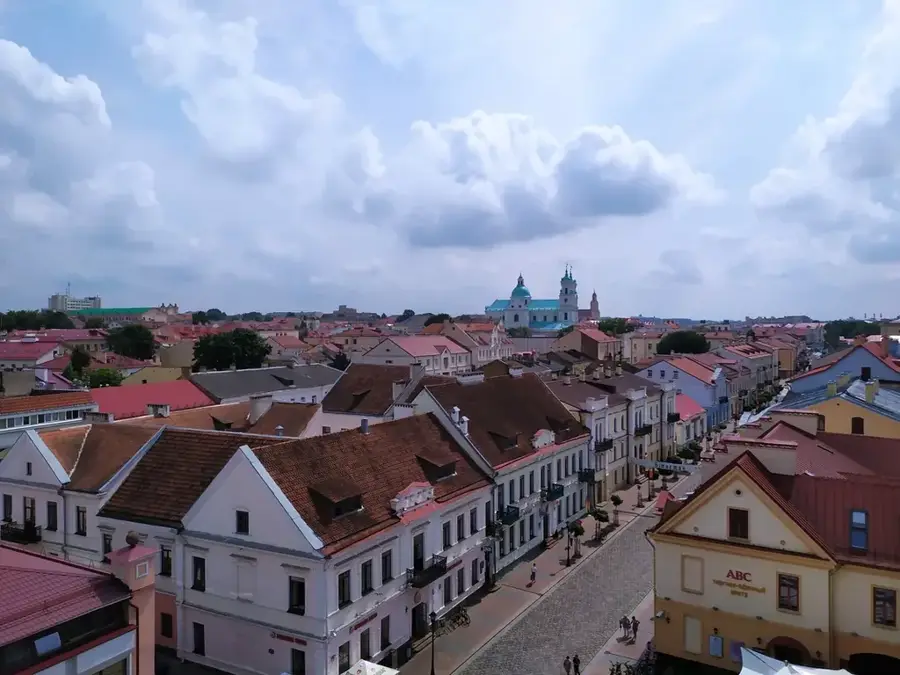
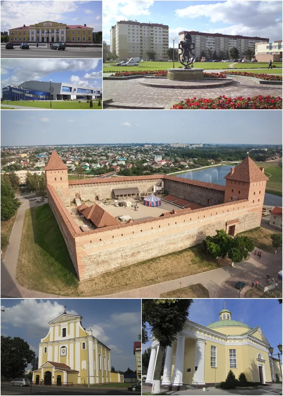
The Navahrudak Upland in western Belarus, within the Grodno Region, is an isolated and highly distinct block of the broader Belarusian Ridge system. Covering an area of roughly 4,400 square kilometers, it is sharply bounded to the north and west by the deep valley of the Neman River. Reaching its maximum elevation of 323 meters at the historic Zamkavaya Hara (Castle Hill) in the town of Navahrudak, this upland is home to some of the most strongly dissected topography in the country. The landscape is characterized by massive Sozh glaciation moraines and extensive loess deposits, which have been deeply cut by ravines and river valleys eroding up to 80-100 meters into the terrain. This undulating, erosion-scarred topography provided excellent natural defensive positions, explaining the region's rich history of castle construction and fortifications. Today, the plateau surfaces are heavily utilized for agriculture, while about 25 percent of the steeper slopes and ravines remain covered by dense mixed forests.
- Location: Belarus
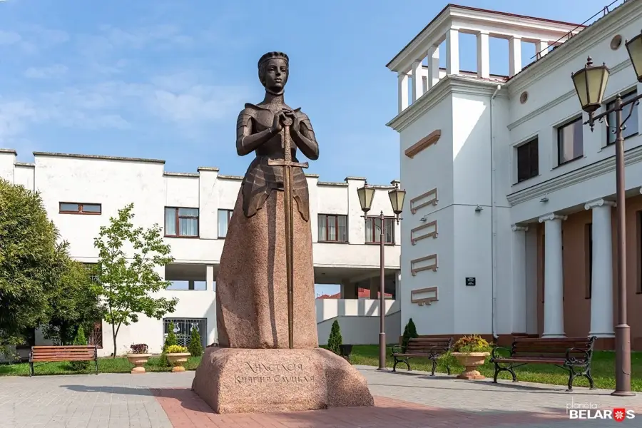
- Top sights: Museum of Miniatures "Strachanaya Spadchyna" · St. Nicolas Church · Boris and Gleb Church
- Nearby: Lake Svityaz (20 km)
Best time to visit & climate
The most pleasant time to visit is Jun–Aug.
| Jan | Feb | Mar | Apr | May | Jun | Jul | Aug | Sep | Oct | Nov | Dec | |
|---|---|---|---|---|---|---|---|---|---|---|---|---|
| Avg °C | -7 | -6 | 0 | 7 | 13 | 17 | 19 | 18 | 13 | 6 | 1 | -4 |
| Rain mm | 51 | 42 | 43 | 43 | 80 | 77 | 99 | 72 | 50 | 61 | 52 | 51 |
📋 Practical info
Geography
Explore nearby
Notable places around
Route planner — Car & Motorhome
Where do you start? We build the route here, with stops and country notes along the way.
© OpenStreetMap contributors · OpenRouteService
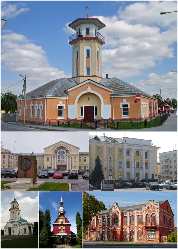
Sights in the town Navahrudak Upland (4)
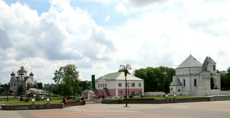
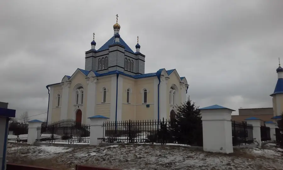
St. Nicolas Church
Orthodox church building in Navahrudak, dedicated to Saint Nicholas.
Boris and Gleb Church
Orthodox church in Navahrudak, dedicated to Saints Boris and Gleb.
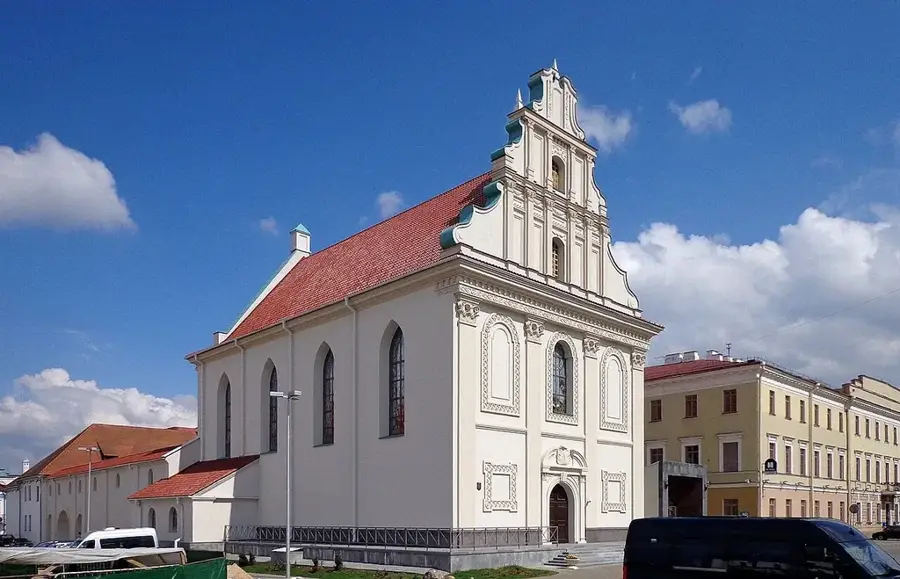
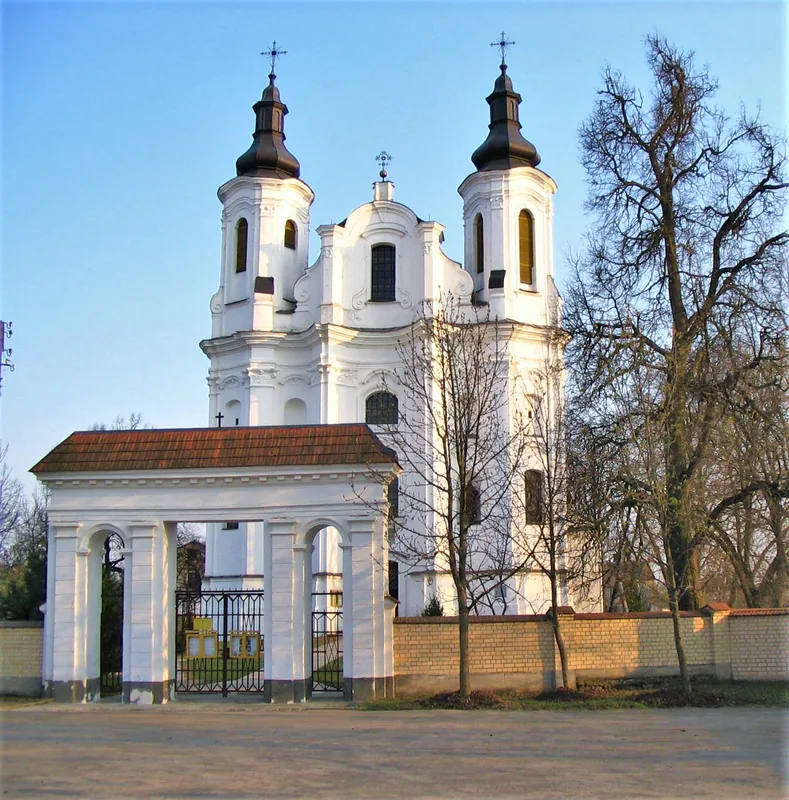
St. Michael church
Catholic church building in Navahrudak, dedicated to the Archangel Michael.
Sights nearby
Frequently asked questions
How high are the hills here?
What is the cultural significance?
Can you go cycling there?
What is the climate like in the upland?
Are there castles there?
Navahrudak Upland: where is it located?
Navahrudak Upland: what is there to see?
Navahrudak Upland: when is the best time to visit?
Navahrudak Upland: why is it worth visiting?

Nearby cities