Plizio Visual Lab
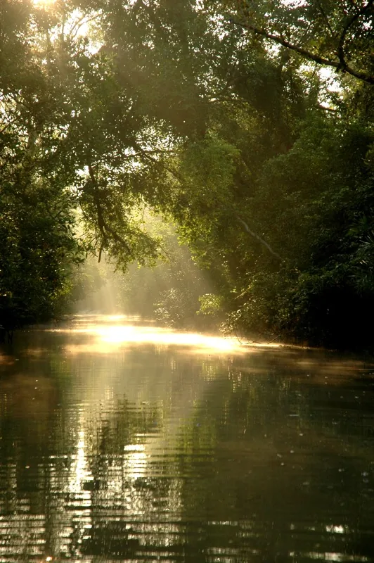
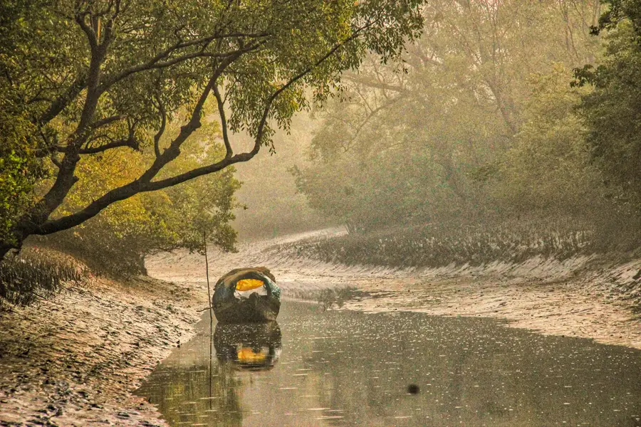
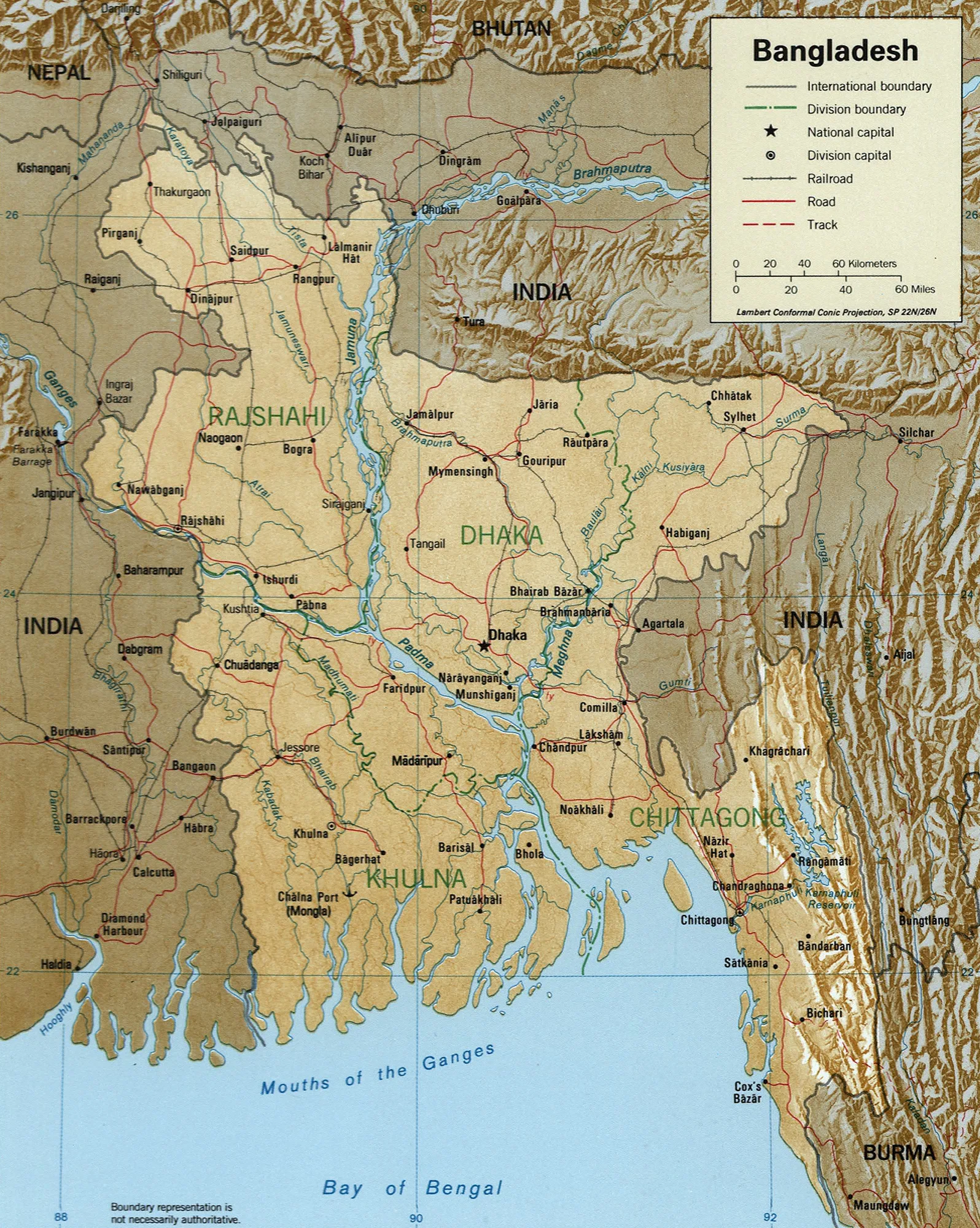
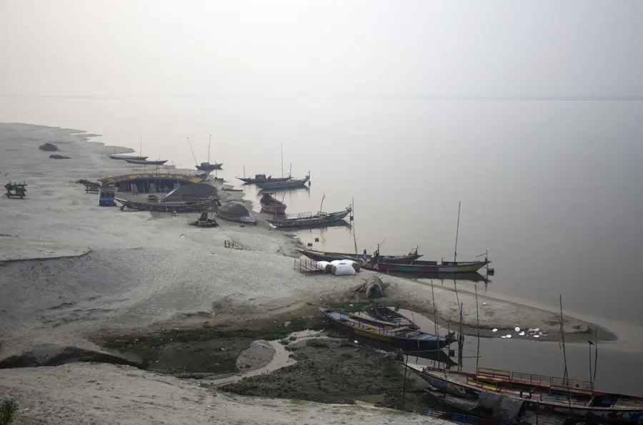
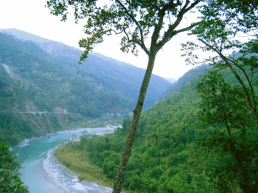
Sundarbans
Weather…
Water temperature…
The Sundarbans constitutes the largest contiguous mangrove forest in the world, spanning approximately 10,000 square kilometers across the delta of the Ganges, Brahmaputra, and Meghna rivers. Roughly 60 percent of the forest lies within Bangladesh, where it has been recognized as a UNESCO World Heritage Site since 1997. This complex ecosystem is defined by a labyrinth of tidal waterways, mudflats, and small islands colonized by salt-tolerant mangrove species. It is internationally renowned as the primary habitat of the Royal Bengal Tiger, featuring a population that has uniquely adapted to swimming in the saline waters. In addition to tigers, the area supports endangered species such as the saltwater crocodile and the South Asian river dolphin. The forest acts as a vital natural shield for millions of people against the frequent cyclones and storm surges originating in the Bay of Bengal. Economically, the region provides a livelihood through the sustainable harvesting of timber, honey, wax, and various fisheries.
- Location: Bangladesh
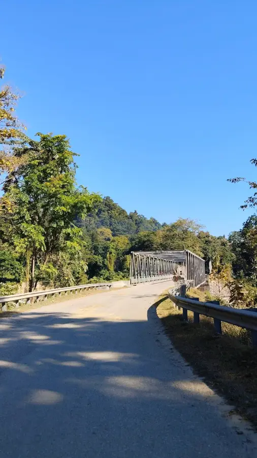
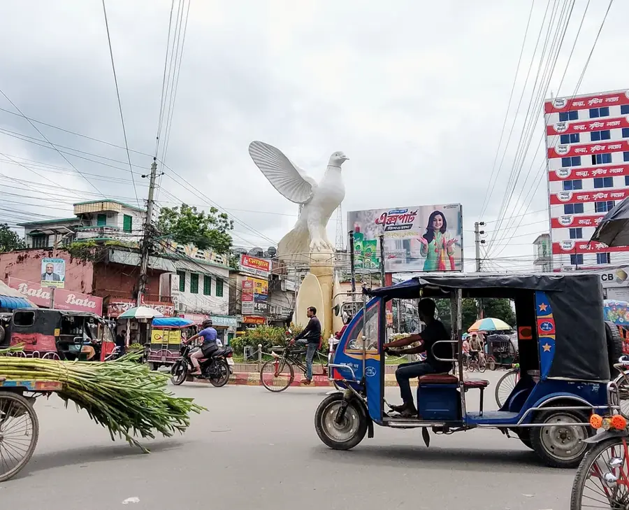
- Nearby: Bogra (18 km)
Best time to visit & climate
The most pleasant time to visit is Jan, Feb, Dec.
| Jan | Feb | Mar | Apr | May | Jun | Jul | Aug | Sep | Oct | Nov | Dec | |
|---|---|---|---|---|---|---|---|---|---|---|---|---|
| Avg °C | 20 | 24 | 28 | 30 | 30 | 29 | 28 | 28 | 28 | 27 | 24 | 20 |
| Rain mm | 11 | 23 | 37 | 64 | 179 | 330 | 490 | 404 | 312 | 219 | 43 | 13 |
📋 Practical info
Geography
Facts
- Total area of approx. 10,000 sq km, with 6,017 sq km located in Bangladesh.
- Designated as a UNESCO World Heritage Site in 1997.
- Home to an estimated population of 100 to 150 Royal Bengal Tigers.
- Comprises about 200 islands separated by an intricate network of waterways.
- Hosts 334 species of plants and more than 400 species of fish.
- Provides natural cyclone protection for approximately 3.5 million people.
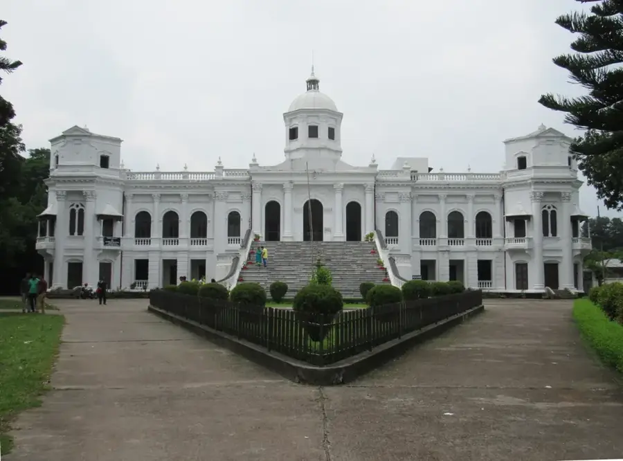
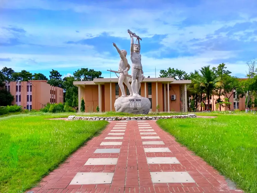
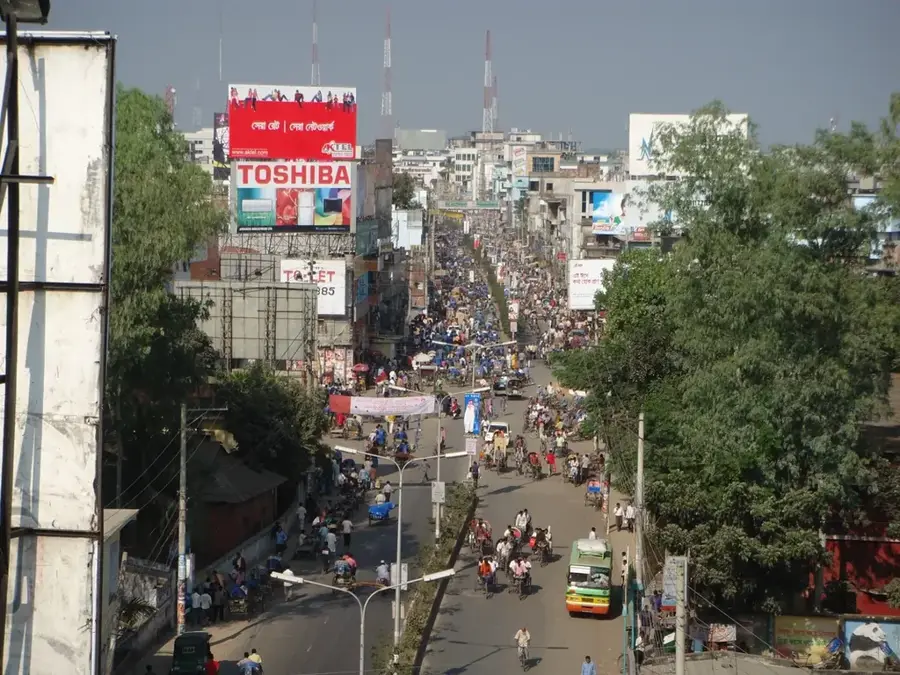
Explore nearby
Notable places around
Route planner — Car & Motorhome
Where do you start? We build the route here, with stops and country notes along the way.
© OpenStreetMap contributors · OpenRouteService
Sights nearby
Frequently asked questions
Is visiting the Sundarbans safe?
What is the best way to travel?
What clothing should we wear?
Is there internet reception?
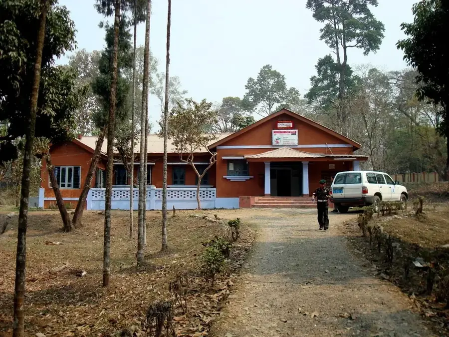
What is the 'Karamjal' center?
Sundarbans: where is it located?
Sundarbans: when is the best time to visit?
Sundarbans: why is it worth visiting?

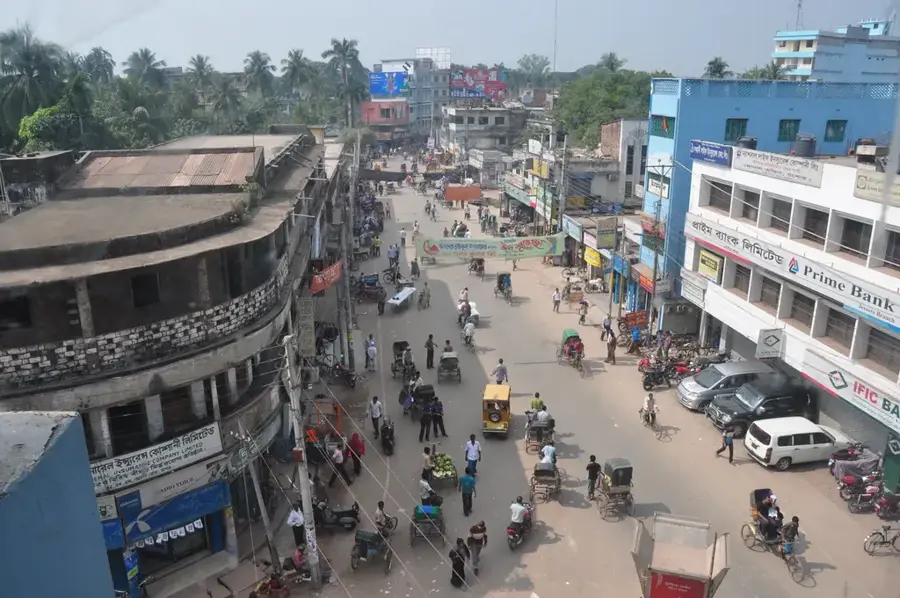
Nearby cities

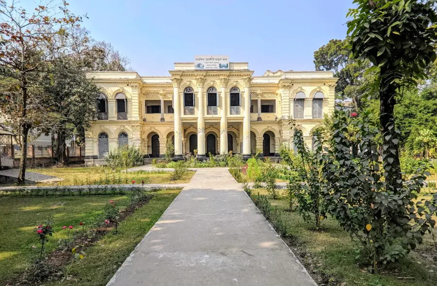


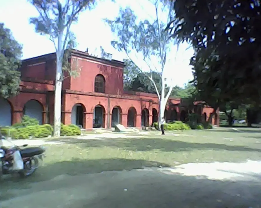
History & landmarks
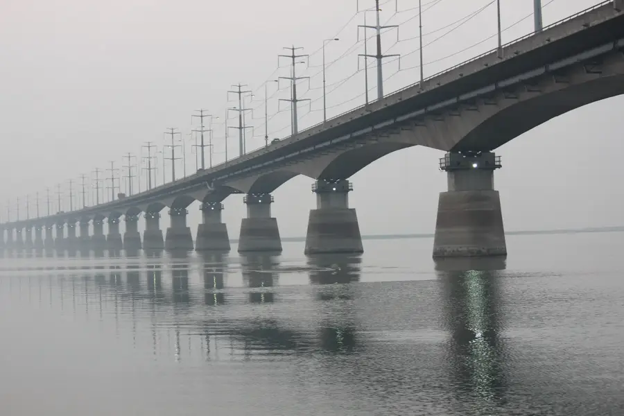


Nature
More places