Plizio Visual Lab
Haa

ℹ️Practical info — Haa
▾
🌤 Weather — 5 days
📍 Nearby
Sights nearby
💡 Tips
- Haa sits at nearly 3,000 meters; acclimatize slowly before attempting hikes to the local temples.
- The Chele La pass road can close due to winter snow; always check road conditions before driving from Paro.
- Indian Rupees and Bhutanese Ngultrum are accepted, but bring sufficient cash as ATMs are extremely scarce.
- The Haa Summer Festival in July is excellent for nomadic culture, but homestays must be booked months in advance.
- Photography inside the White and Black Temples (Lhakhang Karpo and Lhakhang Nagpo) is strictly forbidden.
🍽 Food
Traditional Haa buckwheat dumplings filled with turnip greens and cheese, best requested at local homestays.
The spicy national dish of chili and cheese. Try it at a small family-run eatery in the main bazaar.
Bhutanese butter tea, offered in almost every guesthouse. Great for warming up on cold valley mornings.
🛍 Shopping · 🧘 Quiet spots
The main street has small shops selling basic provisions, local dried apples, and yak cheese (chhurpi).
Handwoven Bhutanese textiles can sometimes be purchased directly from weavers in the surrounding villages.
Stroll along the crystal-clear waters of the Haa River for peaceful valley views.
The serene pine forest surrounding the ancient Black Temple is very tranquil and well-suited for quiet reflection.
Water temperature…
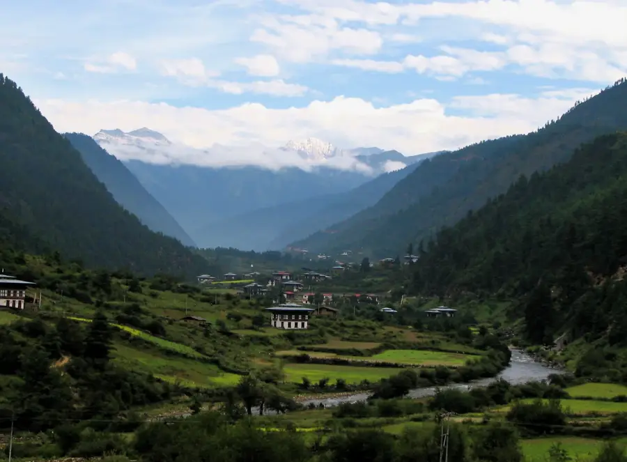
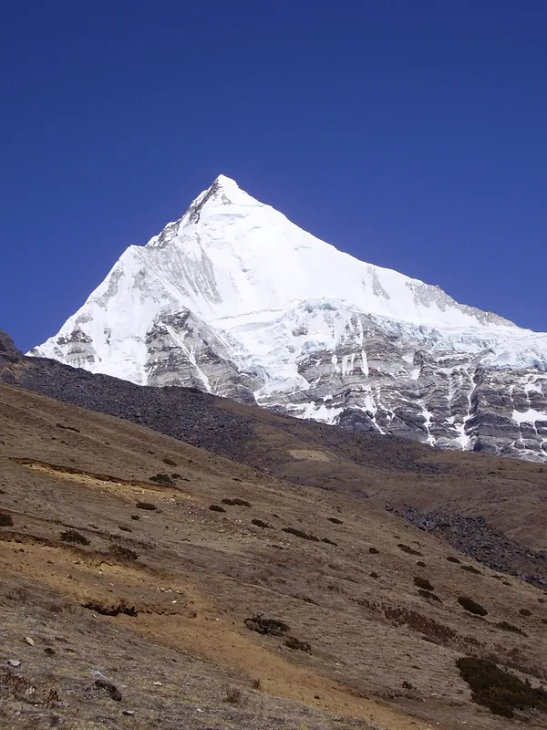
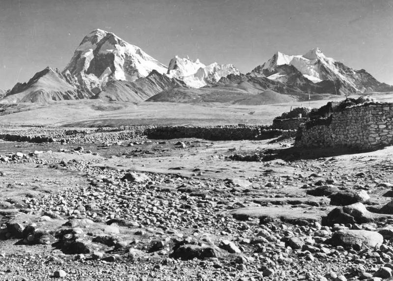
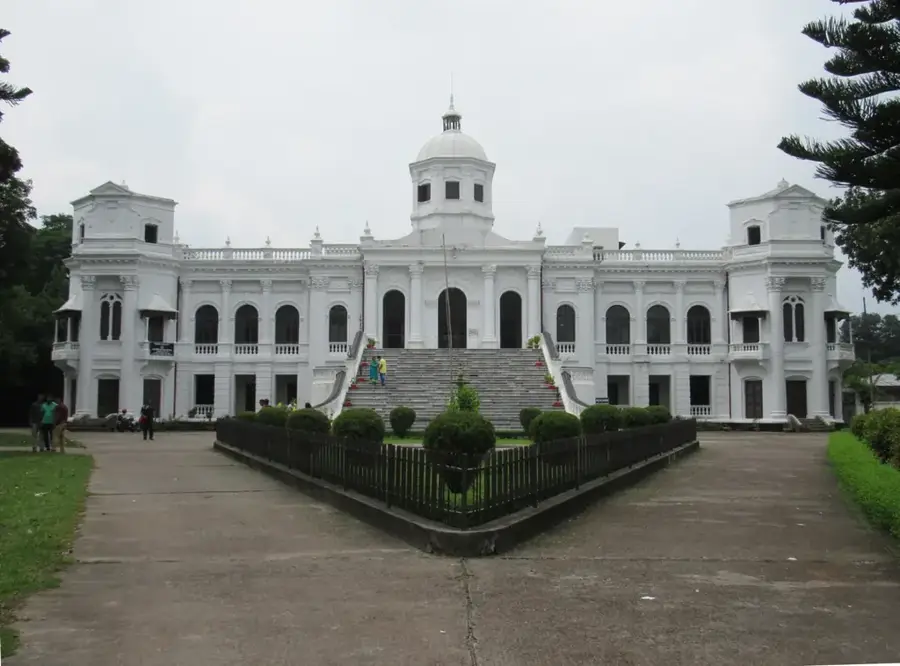
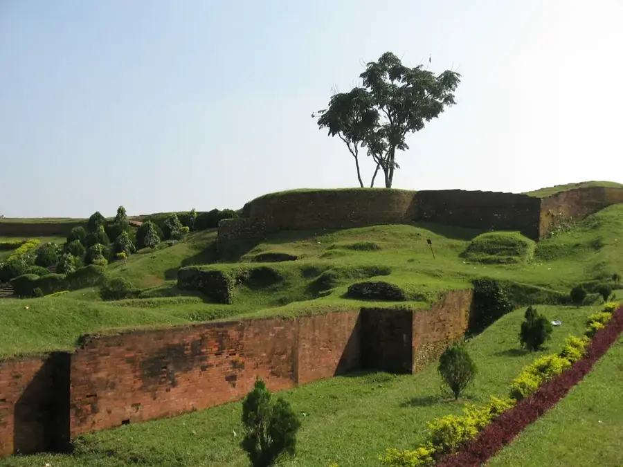
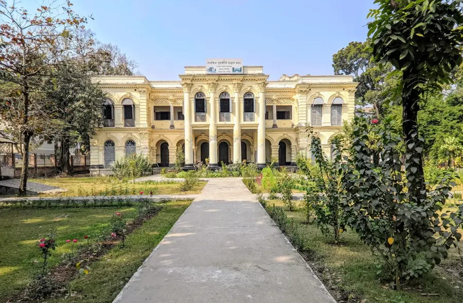
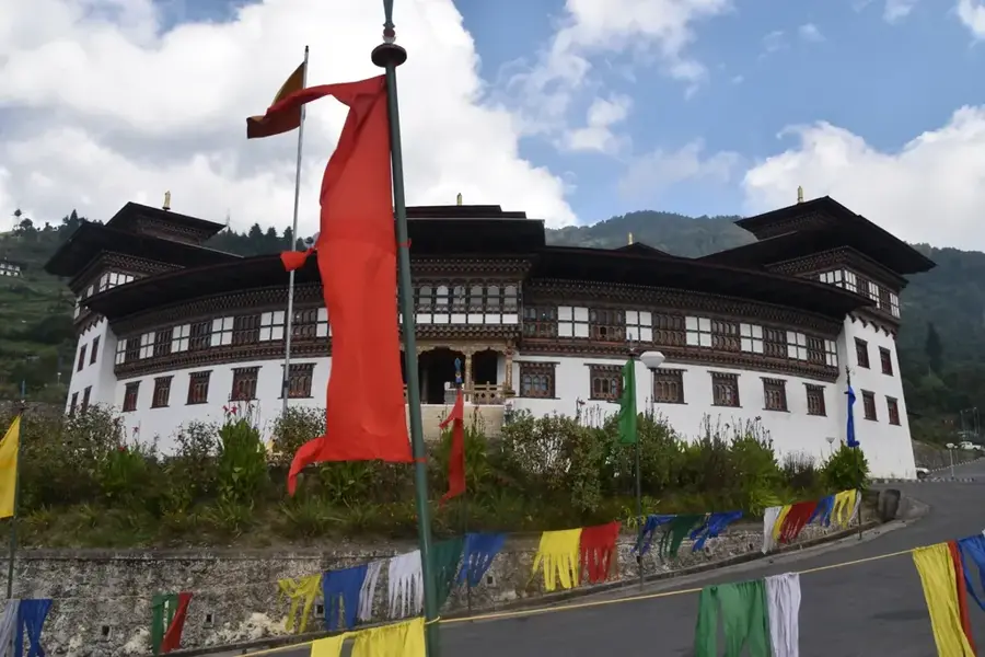
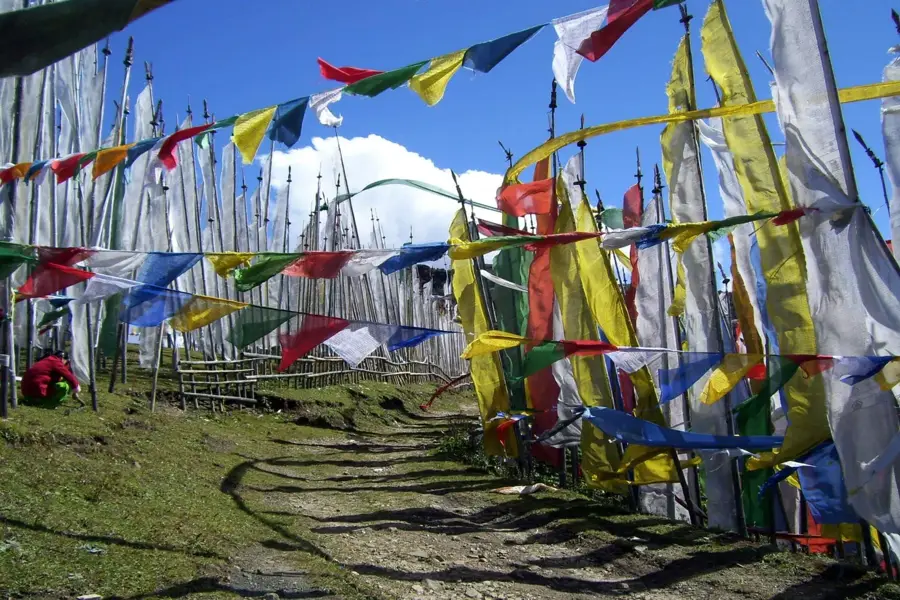
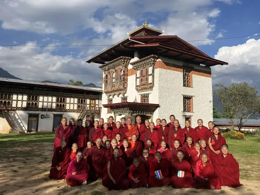
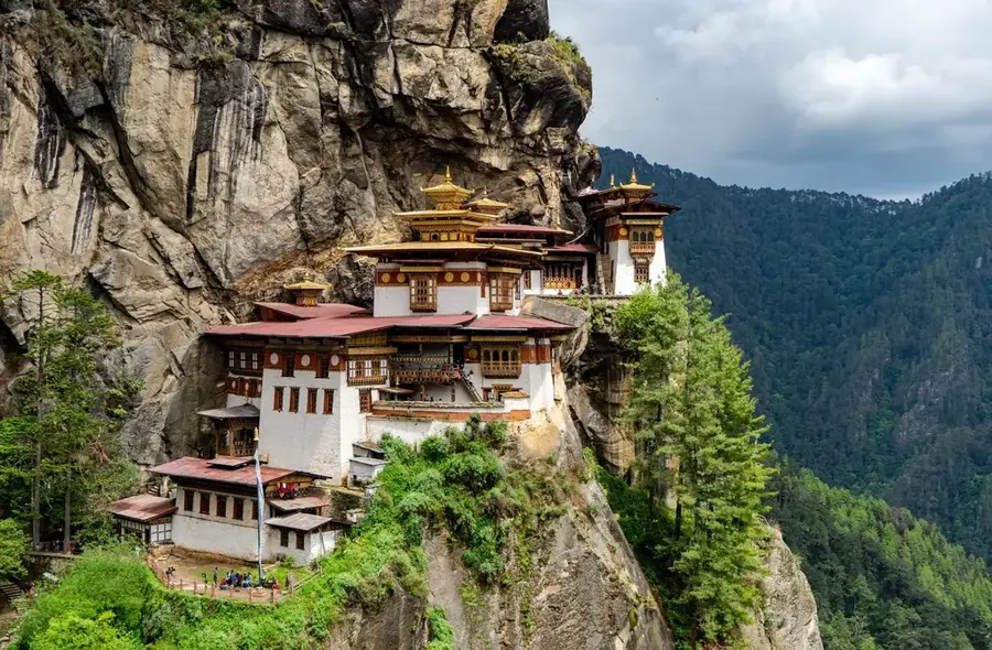
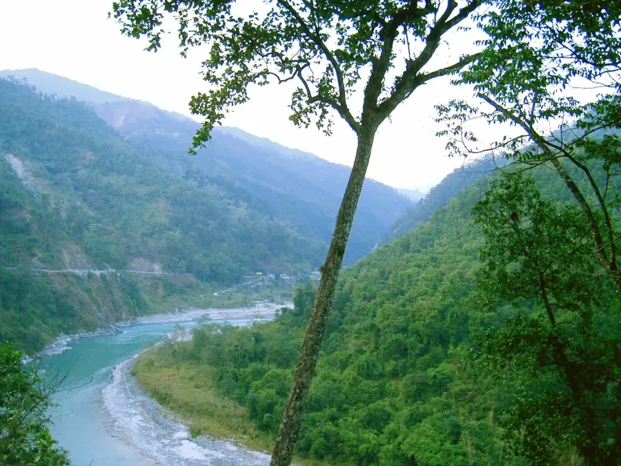
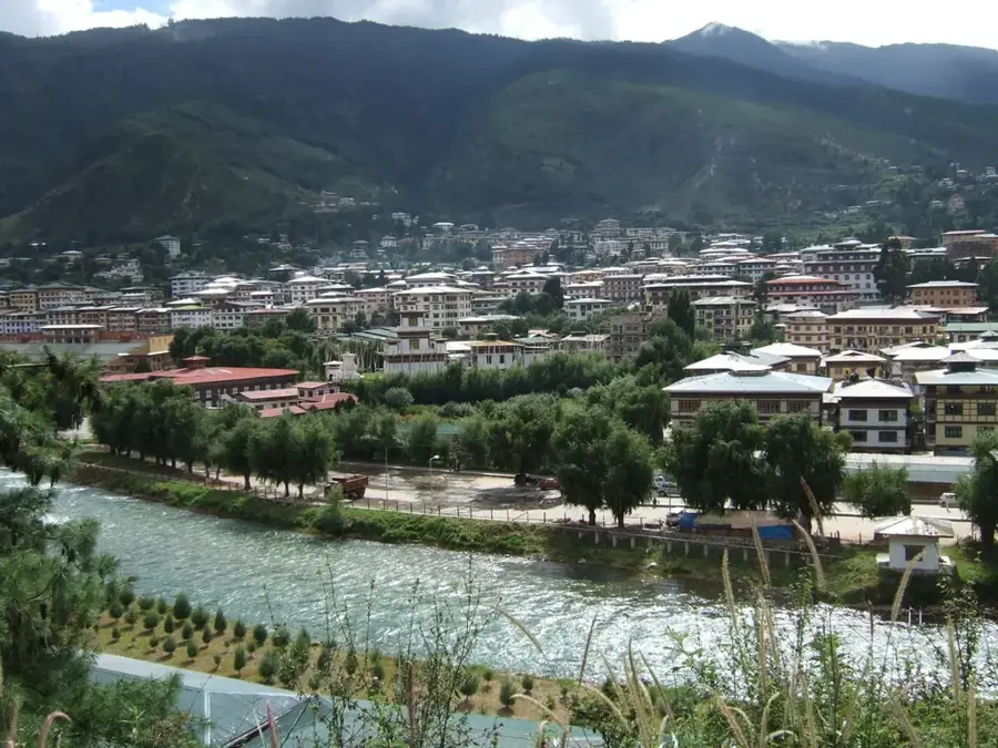
Haa is located in one of the most isolated and pristine valleys in western Bhutan, situated near the border with Tibet. The town sits at an impressive altitude of approximately 2,700 meters and was only opened to international tourism in 2002. Historically, the Haa Valley served as a vital trade corridor for caravans traveling between India and Tibet. A central architectural landmark is the Haa Wangchuklo Dzong, which is currently occupied by the military. The town is also renowned for its sacred shrines, most notably Lhakhang Karpo (White Temple) and Lhakhang Nagpo (Black Temple), which legend says were built in the 7th century by the Tibetan King Songtsen Gampo. Due to its strategic location, Haa hosts a base for the Indian Military Training Team (IMTRAT). The local culture retains strong animist influences, which are celebrated during the annual summer Haa Summer Festival. The landscape is characterized by dense forests, crystal-clear rivers, and the three prominent hills known as 'Meri Puensum,' revered as the valley's sacred guardians.
- Location: Bhutan
- Top sights: Haa Wangchuk LoDzong · Haa valley view · His Majesty the 5th Kings Portrait
- Nearby: Phuntsholing (11 km)
- Population: ~1.449 (2026)
Best time to visit & climate
The most pleasant time to visit is Jun, Sep, Oct.
| Jan | Feb | Mar | Apr | May | Jun | Jul | Aug | Sep | Oct | Nov | Dec | |
|---|---|---|---|---|---|---|---|---|---|---|---|---|
| Avg °C | -2 | 0 | 2 | 6 | 9 | 12 | 13 | 12 | 11 | 7 | 3 | 0 |
| Rain mm | 5 | 12 | 32 | 60 | 108 | 153 | 259 | 207 | 134 | 51 | 3 | 3 |
Geography
Facts
- Haa is located at an elevation of 2,700 meters above sea level.
- The Haa Valley was opened to international tourists only in 2002.
- Lhakhang Karpo and Lhakhang Nagpo date back to the 7th century.
- The town serves as the headquarters for the Haa District.
- The Chele La pass provides the main road link between Haa and Paro.
- The annual Haa Summer Festival showcases nomadic and local culture.
Explore nearby
Notable places around
Route planner — Car & Motorhome
Where do you start? We build the route here, with stops and country notes along the way.
© OpenStreetMap contributors · OpenRouteService
Sights in the town Haa (3)
Frequently asked questions
Why visit the Haa Valley?
How long is the drive from Paro to Haa?
Which monasteries are important in Haa?
What is the Haa Summer Festival?
Is it colder in Haa than in Thimphu?
Haa: where is it located?
Haa: what is there to see?
Haa: when is the best time to visit?
Haa: why is it worth visiting?

Nearby cities

History & landmarks


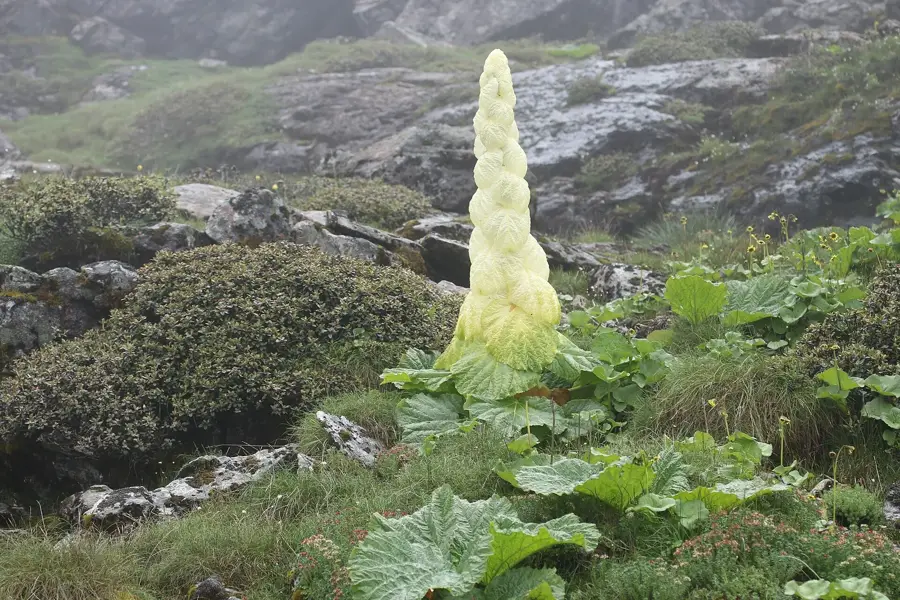
Nature
More places