Plizio Visual Lab
Artashat
ℹ️Practical info — Artashat
▾
🌤 Weather — 5 days
📍 Nearby
Sights nearby
💡 Tips
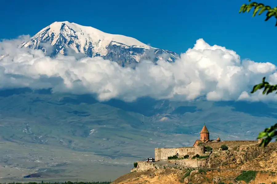
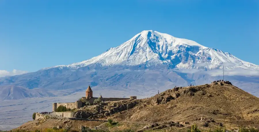
- Khor Virap monastery is very close; arrive at sunrise for the clearest views of Mount Ararat before the midday haze sets in.
- Taxis are the easiest and most direct way to reach the ancient Artashat archaeological site from the modern city center.
- Stock up on cash (Drams); smaller vendors and rural taxis around the city outskirts often do not take cards.
- The town is surrounded by fertile orchards; ensure you respect private property boundaries when exploring the outskirts.
🍽 Food
Try grilled trout or sturgeon at the roadside restaurants driving south towards Khor Virap.
Air-dried, highly spiced beef available in the central deli shops, first-rate for putting together a picnic.
A traditional sweet pastry found in town bakeries, which pairs excellently with strong Armenian coffee.
🛍 Shopping · 🧘 Quiet spots
The prime spot to buy fresh walnuts, sweet sujuk (walnut strings), and seasonal regional fruits.
Local farmers sell freshly picked grapes and peaches directly by the side of the main roads.
A small artificial lake in the center where locals gather for leisurely walks in the evenings.
Walk slightly away from the monastery crowds for quiet, solitary contemplation of the mountain.
Water temperature…
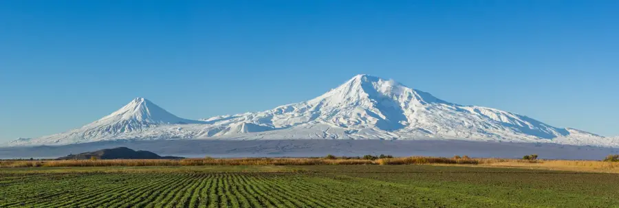
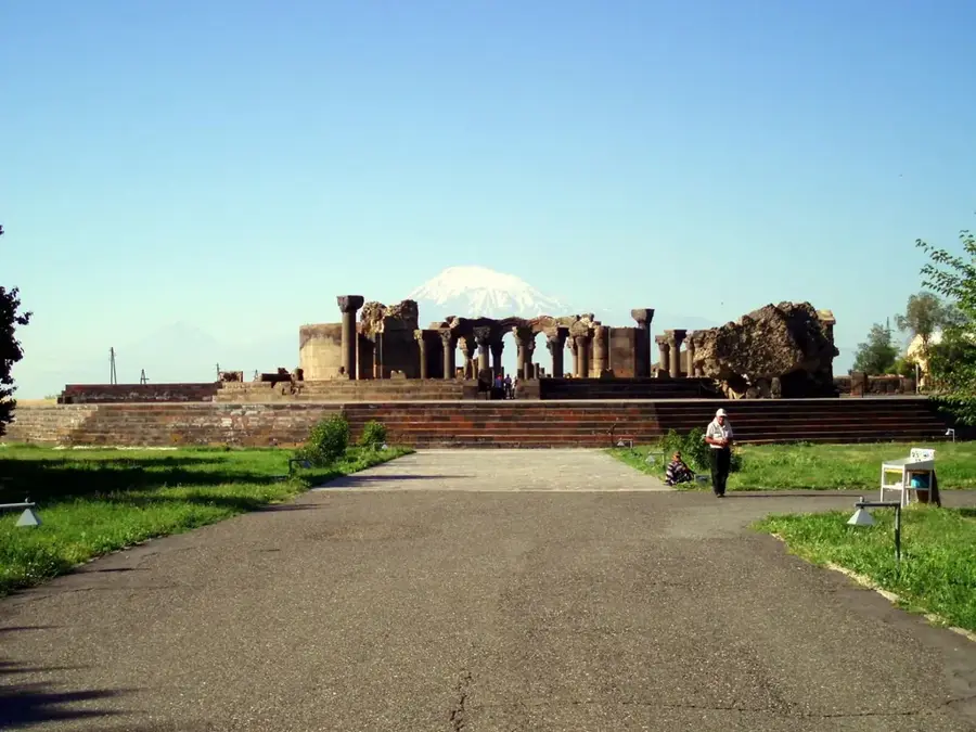
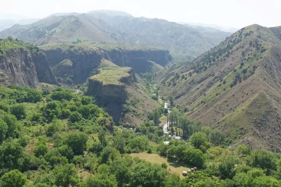
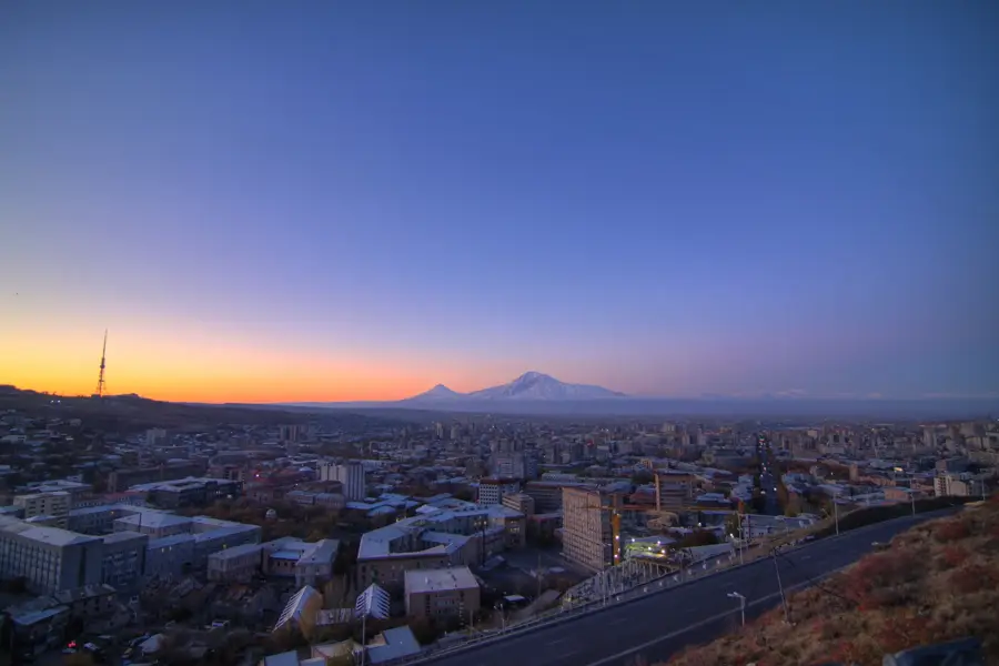
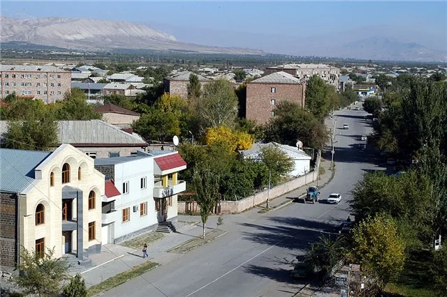
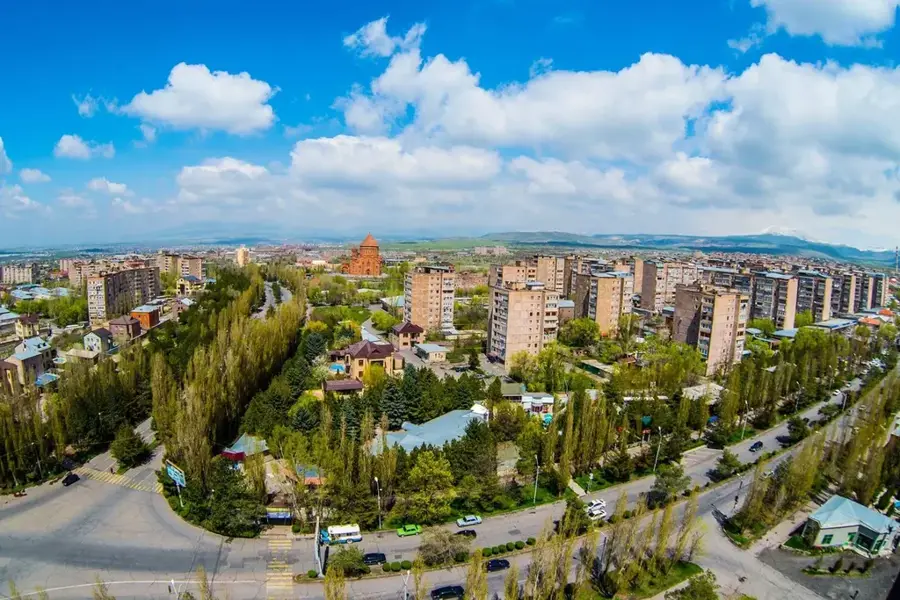
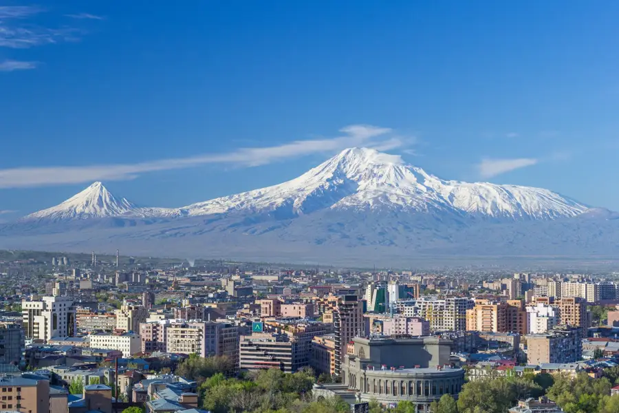
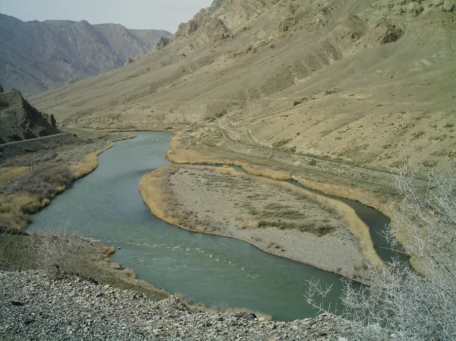
Artashat lies about 30 km south of Yerevan on the Ararat plain at around 830 metres altitude and is the capital of the Ararat Province. The present-day town of some 22,000 inhabitants was laid out in 1945 as a Soviet planned settlement near the ruins of ancient Artashat, founded around 176 BC by King Artashes I, who according to tradition was advised in his choice of site by the Carthaginian general Hannibal, in exile here after the fall of Carthage. The old city sprawled over twelve hills at the confluence of the Araxes and Metsamor rivers, served for centuries as Armenia's capital and a key Silk Road hub, and was nicknamed the 'Armenian Carthage'. On one of these hills, Khor Virap, stood the dungeon where King Trdat imprisoned Saint Gregory the Illuminator for thirteen years; the monastery of the same name, with its unrivalled view of Mount Ararat, is now one of the country's most important pilgrimage sites. The modern town lives from wine and brandy, canning industries, irrigated agriculture and tourism around the archaeological zone and Khor Virap.
- Location: Armenia
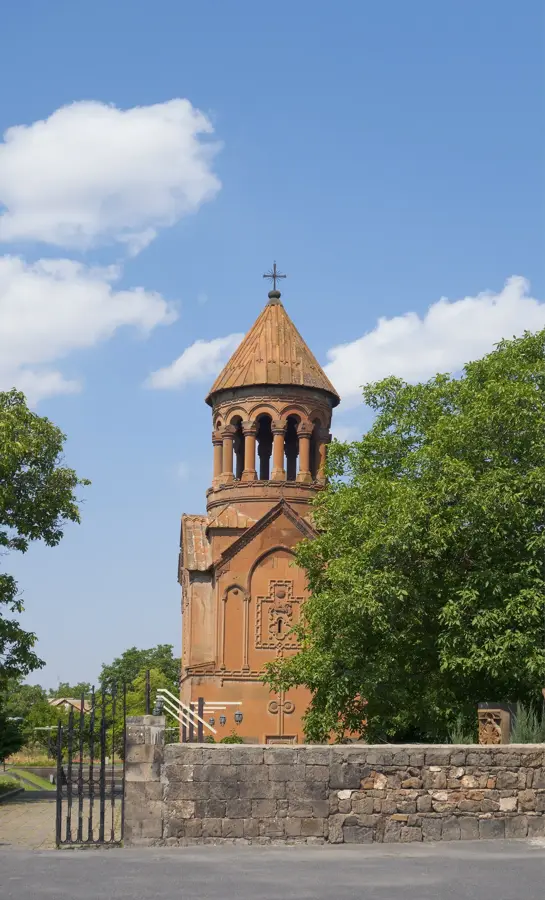
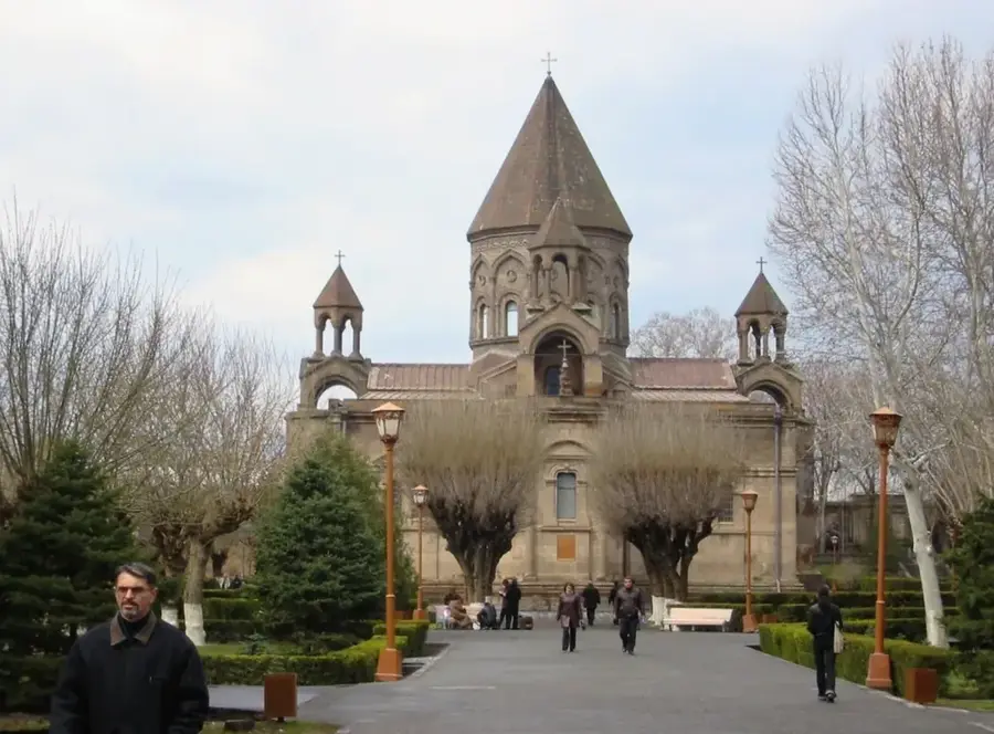
- Top sights: Mayr Hayastan · Saint Jacob Church
- Nearby: Ararat (13 km)
- Population: ~22.800 (2026)
Best time to visit & climate
The most pleasant time to visit is May, Jun, Sep.
| Jan | Feb | Mar | Apr | May | Jun | Jul | Aug | Sep | Oct | Nov | Dec | |
|---|---|---|---|---|---|---|---|---|---|---|---|---|
| Avg °C | 0 | 2 | 8 | 13 | 18 | 24 | 27 | 27 | 22 | 15 | 7 | 1 |
| Rain mm | 19 | 16 | 29 | 47 | 60 | 44 | 29 | 21 | 18 | 33 | 20 | 18 |
Geography
Facts
- Ancient Artaxata was founded in 176 BC by King Artaxias I.
- Artashat is located roughly 30 kilometers south of Yerevan.
- The famous Khor Virap monastery is situated very close to the city.
- The city sits at an elevation of 830 meters in the Ararat plain.
- It is well known for its extensive food canning and wine production units.
- Artashat was the capital of Armenia from 185 BC to 120 AD.
Explore nearby
Notable places around
Route planner — Car & Motorhome
Where do you start? We build the route here, with stops and country notes along the way.
© OpenStreetMap contributors · OpenRouteService
Sights in the town Artashat (2)
Frequently asked questions
How many days do you need for Artashat?
When is the best time to visit Artashat?
How do you get to Artashat?
What should you try there?
Is Artashat family-friendly?
Artashat: where is it located?
Artashat: what is there to see?
Artashat: when is the best time to visit?
Artashat: why is it worth visiting?

Nearby cities
History & landmarks
Nature
More places