Plizio Visual Lab
Ararat Plain
Weather…
Water temperature…
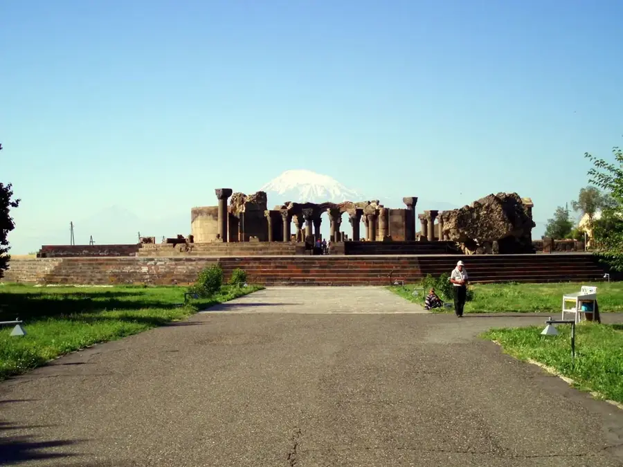
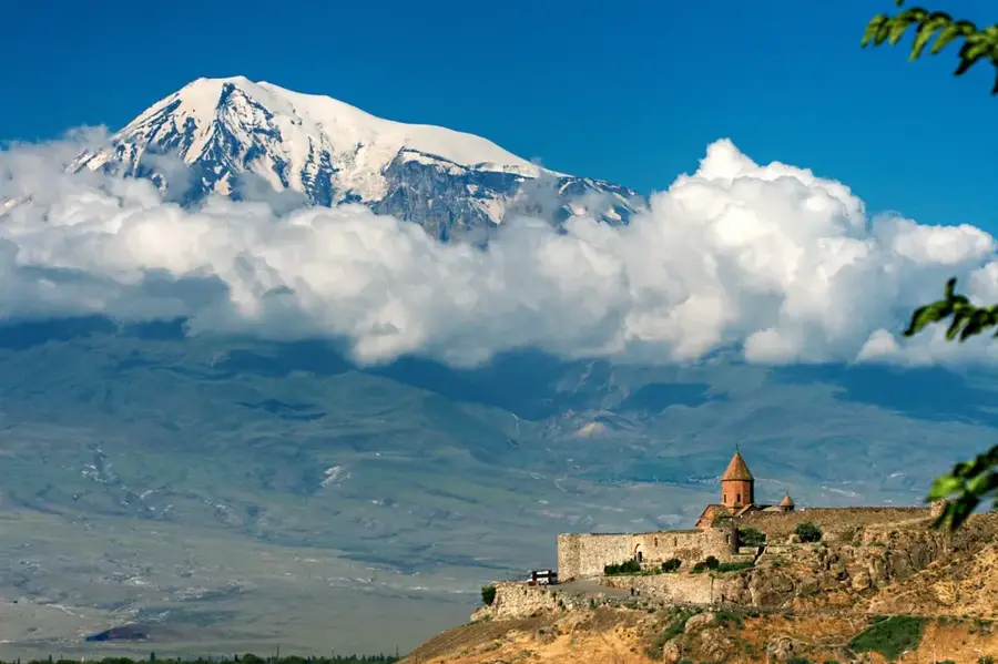
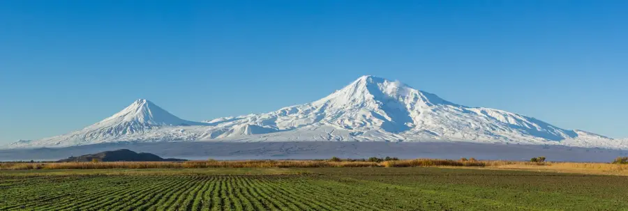
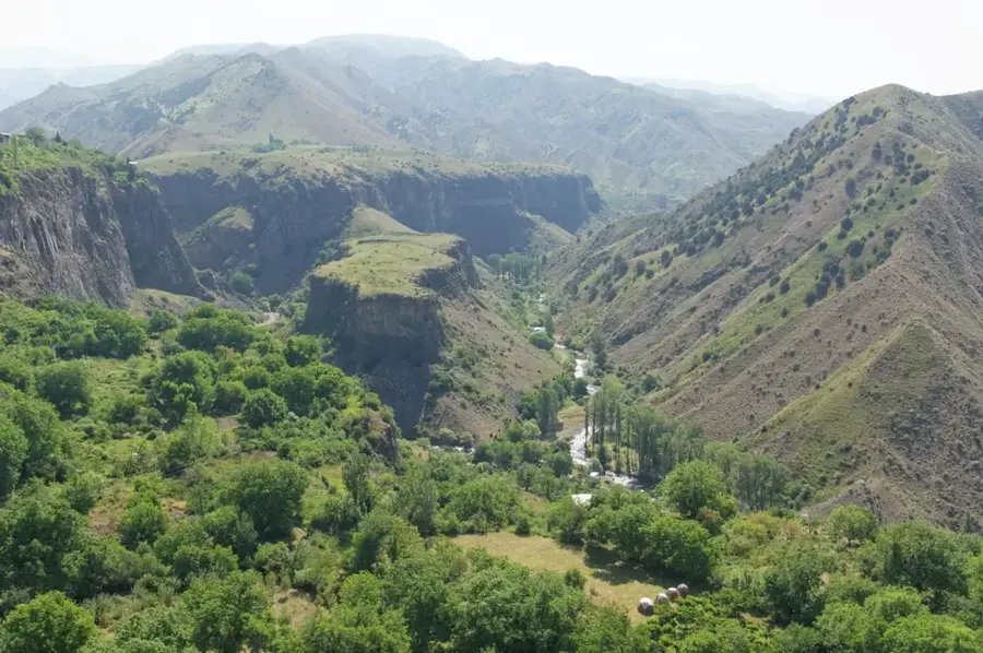
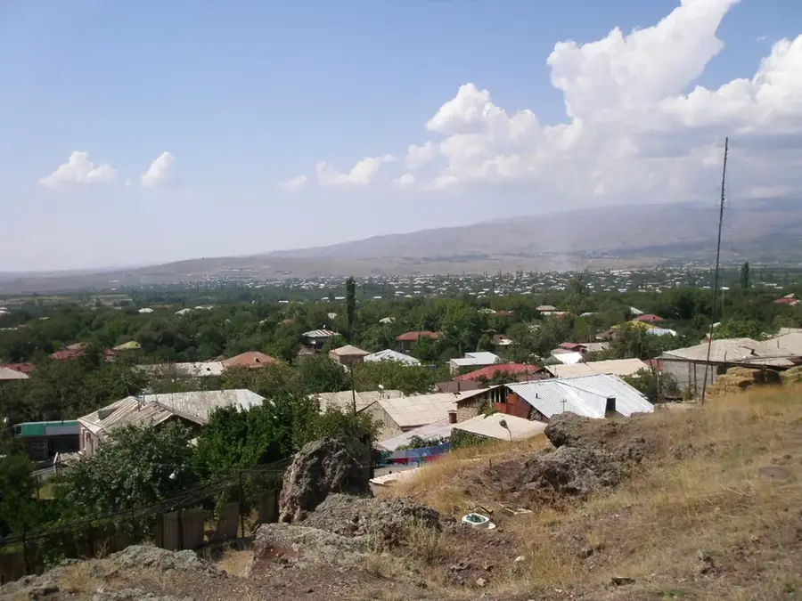
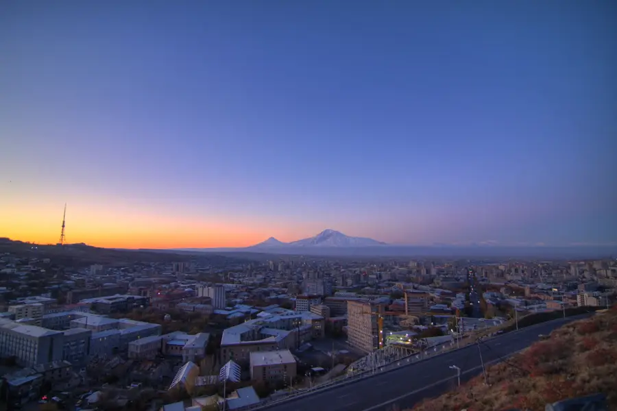
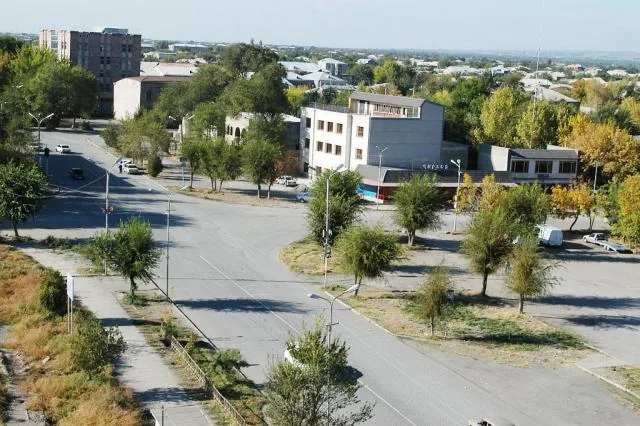
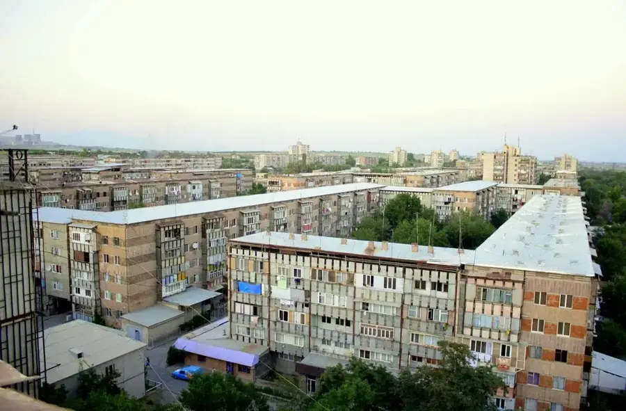
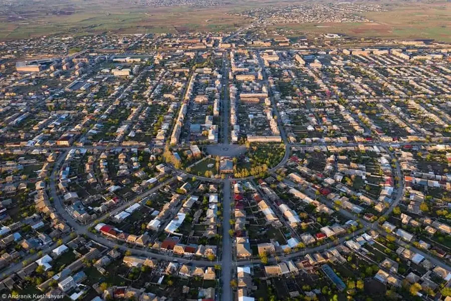
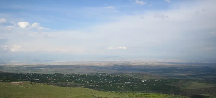
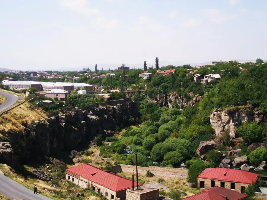
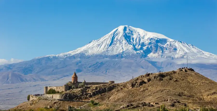
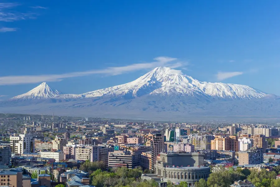
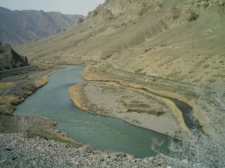
The Ararat Plain is a vast and fertile alluvial plain that serves as the heart of Armenia, stretching along the banks of the Araks River. It lies at an average elevation of 800 to 1000 meters and is bordered by Mount Aragats to the north and the majestic Mount Ararat to the south. Geologically, the plain consists of thick sedimentary layers enriched by volcanic ash and river deposits, making it the country's most vital agricultural region. Over 40% of Armenia's agricultural output is produced here, with a particular focus on grapes, apricots, and grains. The climate is continental, characterized by hot summers and cold winters. Historically, the plain is of immeasurable value, having hosted ancient capitals such as Artashat and Dvin. Today, it is home to the capital city, Yerevan, and significant religious sites like the Khor Virap monastery, famous for its iconic view of Mount Ararat.
- Location: Armenia
- Top sights: Vordan Karmir · Metsamor historical-archeological museum-reserve
- Nearby: Metsamor (10 km)
Best time to visit & climate
The most pleasant time to visit is Jun, Aug, Sep.
| Jan | Feb | Mar | Apr | May | Jun | Jul | Aug | Sep | Oct | Nov | Dec | |
|---|---|---|---|---|---|---|---|---|---|---|---|---|
| Avg °C | -2 | 0 | 5 | 10 | 15 | 21 | 24 | 24 | 20 | 13 | 5 | -1 |
| Rain mm | 24 | 19 | 31 | 53 | 65 | 48 | 36 | 26 | 20 | 39 | 23 | 23 |
📋 Practical info
Geography
Facts
- Average elevation between 800 and 1000 meters.
- Accounts for over 40% of Armenia's agricultural output.
- Primary region for grape and apricot cultivation.
- Site of ancient Armenian capitals Artashat and Dvin.
- Bisected by the Araks River along the Turkish border.
- Location of Yerevan, Armenia's capital city.
Explore nearby
Notable places around
Route planner — Car & Motorhome
Where do you start? We build the route here, with stops and country notes along the way.
© OpenStreetMap contributors · OpenRouteService
Sights in the town Ararat Plain (2)
Sights nearby
Frequently asked questions
What exactly is the Ararat Plain?
What is the plain known for?
When is the best time to visit?
What is the best way to get there?
Is there any local food worth trying there?
Ararat Plain: where is it located?
Ararat Plain: what is there to see?
Ararat Plain: when is the best time to visit?
Ararat Plain: why is it worth visiting?

Nearby cities
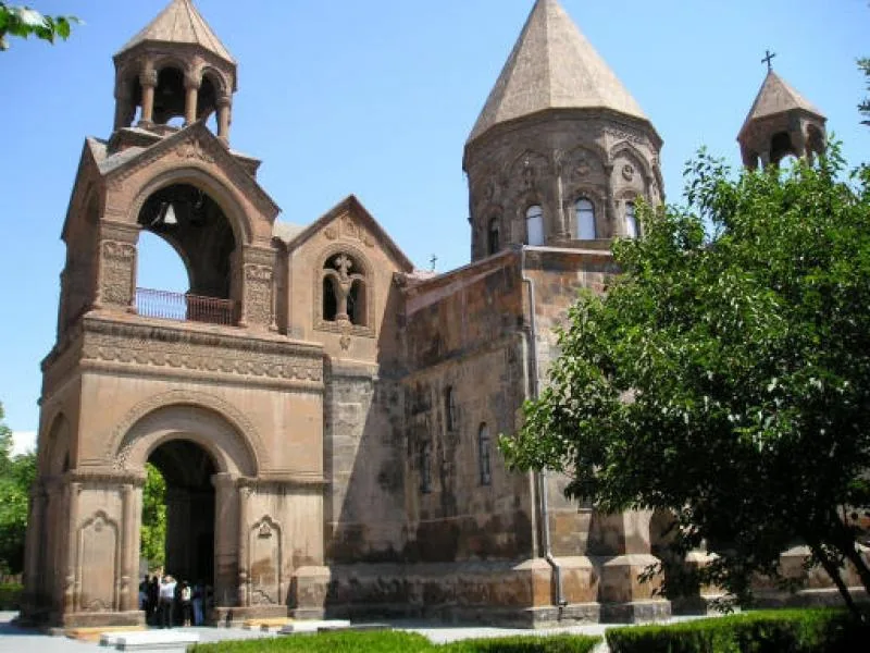
History & landmarks
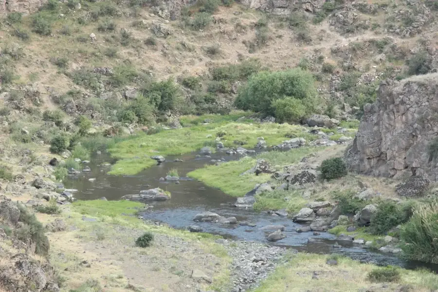
Nature
More places