Plizio Visual Lab
San Antonio de los Cobres
ℹ️Practical info — San Antonio de los Cobres
▾
🌤 Weather — 5 days
📍 Nearby
Sights nearby
Water temperature…
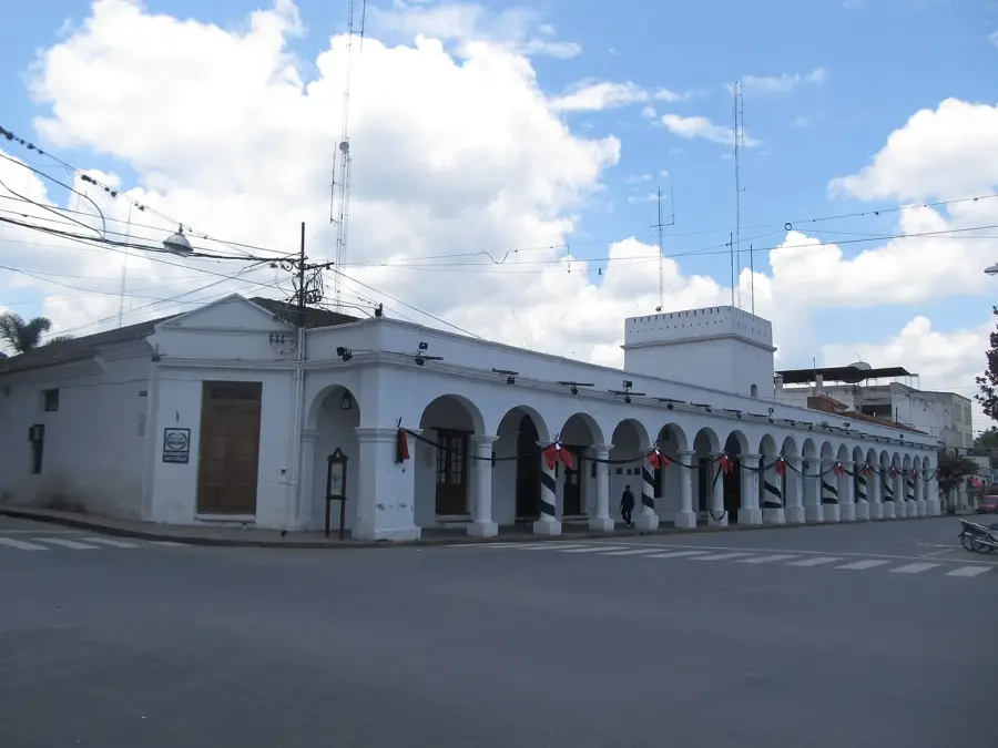
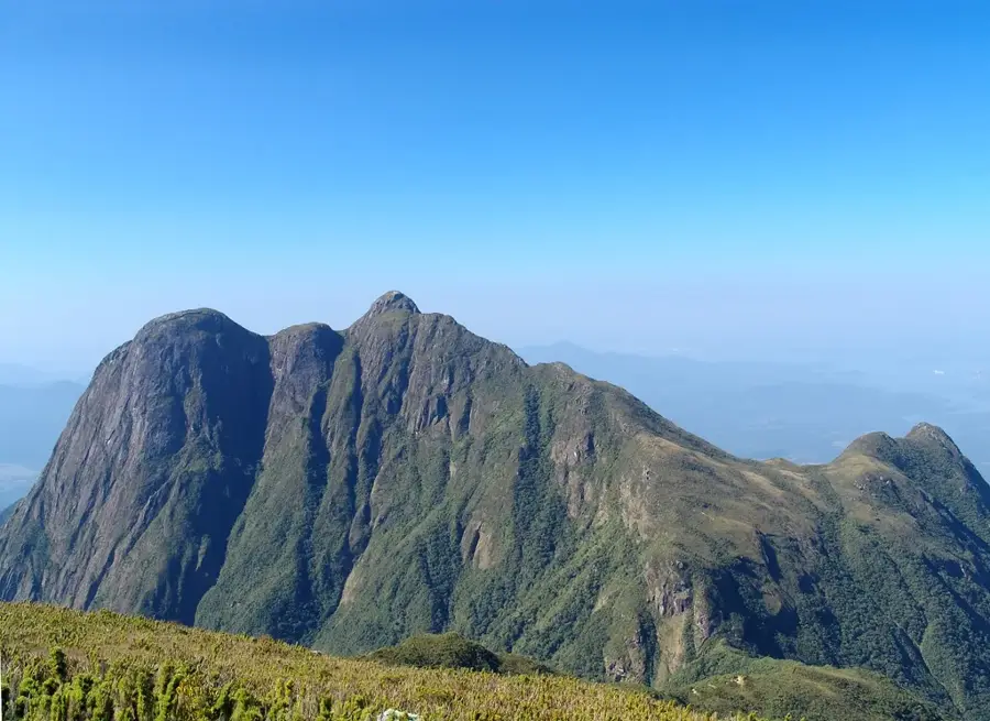
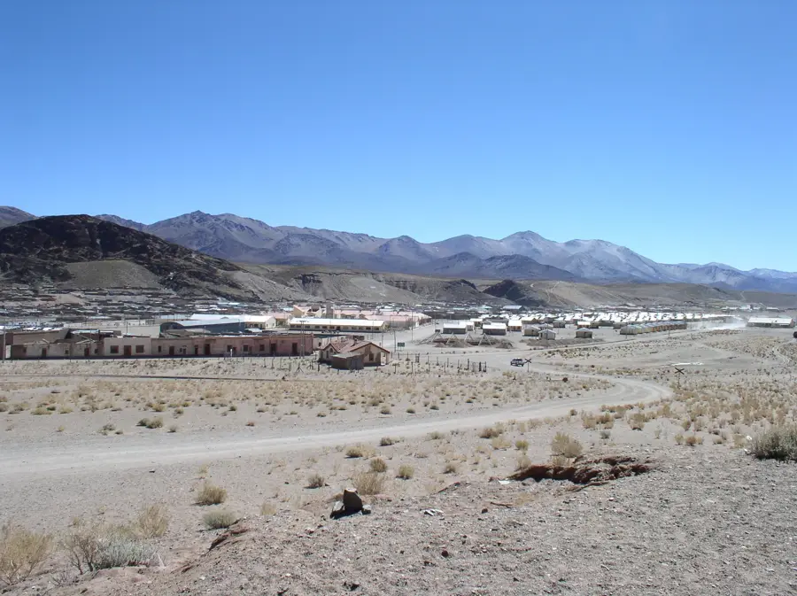
San Antonio de los Cobres is a high-altitude town situated at 3,775 meters above sea level in the arid Puna region. Historically, it was an important center for copper mining, which gave the town its name. Today, it is most famous as the final stop for the iconic Train to the Clouds (Tren a las Nubes). The town's architecture features simple adobe houses designed to withstand the harsh, windy, and cold climate of the Andean plateau. Visitors often take the short drive from the town to the La Polvorilla viaduct, an impressive steel railway bridge spanning a deep canyon at 4,220 meters above sea level. The local culture is deeply rooted in indigenous Andean traditions. In the small local eateries, travelers can taste regional staples such as llama meat stews, quinoa, and empanadas. The town is located along the legendary National Route 40, requiring a slow and careful drive on gravel roads from the provincial capital of Salta.
- Location: Argentina
- Top sights: Mirador · Museo Regional · San Antonio de Padua
- Population: ~4.000 (2026)
Geography
Facts
- Located in the Puna region
- Altitude of 3,775 meters
- Terminus for Train to the Clouds
- La Polvorilla railway viaduct
- Historic copper mining center
- On National Route 40
- Andean indigenous culture
- Llama meat and quinoa dishes
Explore nearby
Notable places around
Route planner — Car & Motorhome
Where do you start? We build the route here, with stops and country notes along the way.
© OpenStreetMap contributors · OpenRouteService
Sights in the town San Antonio de los Cobres (3)
Frequently asked questions
San Antonio de los Cobres: where is it located?
San Antonio de los Cobres: what is there to see?
San Antonio de los Cobres: why is it worth visiting?

Nearby cities