Plizio Visual Lab
Ruins of Tastil
Weather…
Water temperature…
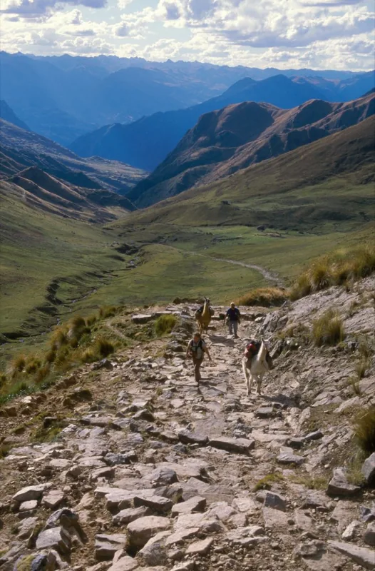
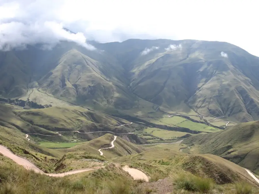
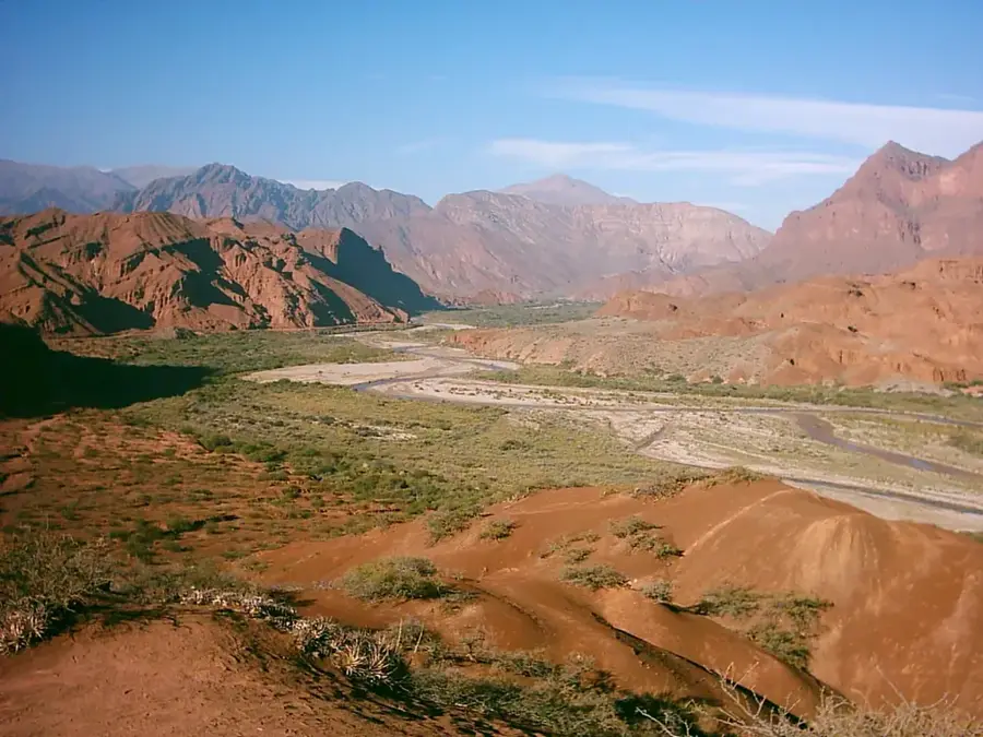
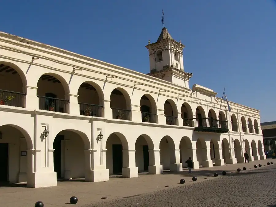
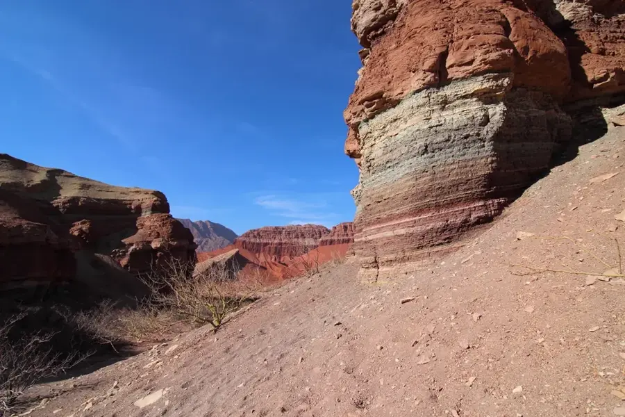
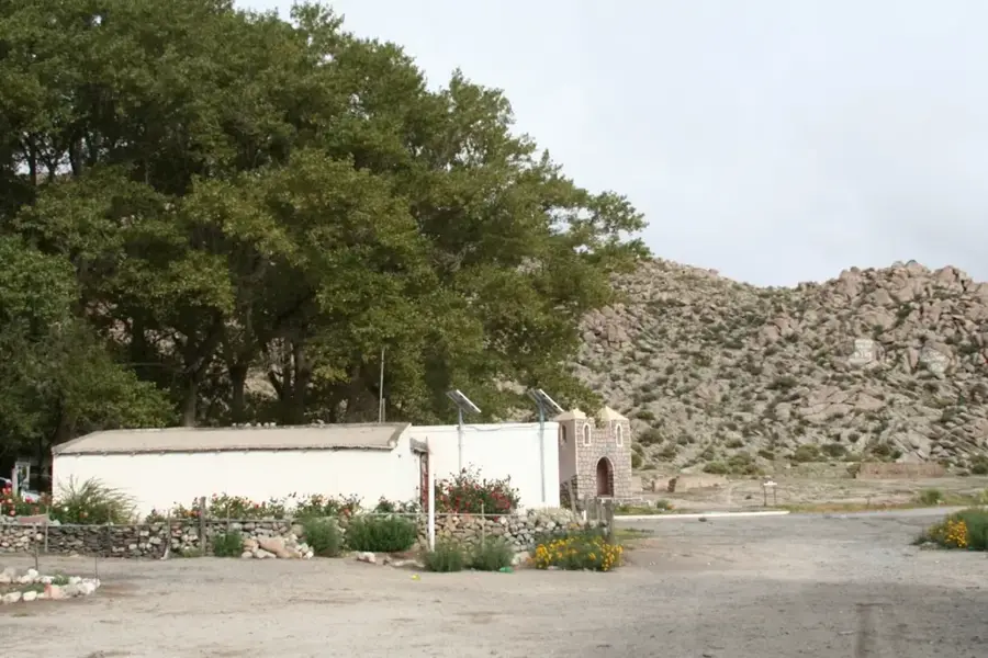
The ruins of Tastil, located in the Quebrada del Toro in Salta province, constitute one of the largest pre-Columbian cities in Argentina. This indigenous metropolis reached its peak between 1300 and 1440 AD, housing an estimated population of 2,000 to 3,000 residents. The site is a masterpiece of pre-colonial urban planning, featuring over 400 complex stone structures built using dry masonry techniques without mortar. The street network is intricate, following the terrain's topography and connecting residential units, burial sites, and communal grinding areas. Interestingly, Tastil was abandoned before the arrival of the Spaniards, likely as a result of the Inca Empire's expansion, which forcibly relocated the population to other regions. Today, the site is part of the UNESCO World Heritage Qhapaq Ñan and provides archaeologists with invaluable insights into the socio-economic complexity of the early Atacama and Diaguita cultures.
- Location: Argentina
- Top sights: Morro Colorado · Museo y Kiosko · Cistas
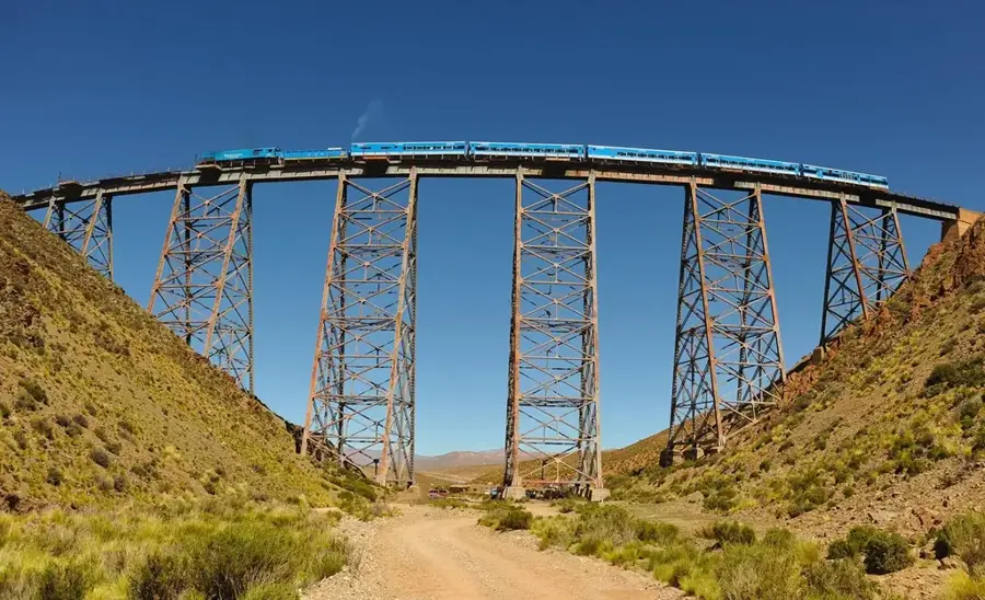
- Nearby: San Antonio de los Cobres (46 km)
Best time to visit & climate
The most pleasant time to visit is Sep–Nov.
| Jan | Feb | Mar | Apr | May | Jun | Jul | Aug | Sep | Oct | Nov | Dec | |
|---|---|---|---|---|---|---|---|---|---|---|---|---|
| Avg °C | 8 | 7 | 6 | 3 | 0 | -1 | -1 | 0 | 2 | 5 | 7 | 8 |
| Rain mm | 173 | 155 | 112 | 52 | 11 | 4 | 2 | 3 | 4 | 27 | 57 | 136 |
📋 Practical info
Geography
Facts
- Located at an altitude of 3,110 meters
- Estimated population of 2,000 to 3,000 people
- Features over 440 identified stone structures
- Abandoned around the year 1440 AD
- Part of the Qhapaq Ñan Inca road system
- Nearby regional museum houses site artifacts
Explore nearby
Notable places around
Route planner — Car & Motorhome
Where do you start? We build the route here, with stops and country notes along the way.
© OpenStreetMap contributors · OpenRouteService
Sights in the town Ruins of Tastil (7)
Sights nearby
Frequently asked questions
How much time do Ruinen von Tastil take?
Do you need a ticket for Ruinen von Tastil?
How do you get to Ruinen von Tastil?
What is the best season to visit?
Is the site photogenic and family-friendly?
Ruins of Tastil: where is it located?
Ruins of Tastil: what is there to see?
Ruins of Tastil: when is the best time to visit?
Ruins of Tastil: why is it worth visiting?

History & landmarks
More places