Plizio Visual Lab
Clorinda
ℹ️Practical info — Clorinda
▾
🌤 Weather — 5 days
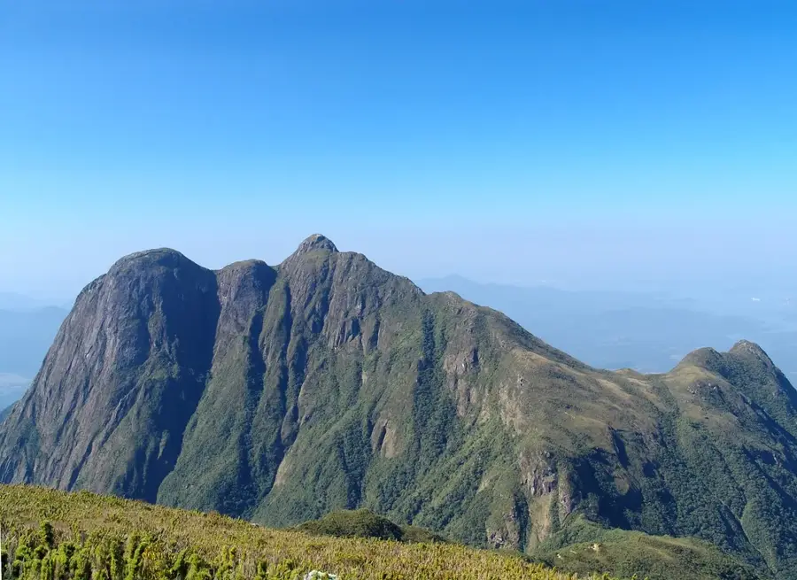
📍 Nearby
Sights nearby
💡 Tips
- Prepare for high humidity and tropical heat almost year-round; dress in light clothing.
- Being a busy border town, expect heavy commercial traffic and bustling streets near the Paraguay crossing.
- Currency exchange is ubiquitous, but always check rates carefully before swapping Pesos and Guaraníes.
- Take a taxi for getting around, as local bus schedules can be irregular.
- Be mindful of border crossing hours and potential delays if you plan to visit Asunción.
🍽 Food
Grab some fried meat or cheese empanadas from a local rotisería.
Try this delicious river fish grilled or baked at a local seafood restaurant.
Refresh yourself with cold yerba mate, a regional staple, prepared with ice water or juice.
🛍 Shopping · 🧘 Quiet spots
Check out the central markets for affordable Argentine leather products like belts and wallets.
Explore the bustling shops near the bridge for cheap electronics and imported clothing.
A shady spot in the city center to rest under the trees and people-watch.
Walk along the quiet sections of the riverbank outside the immediate commercial zone.
Water temperature…
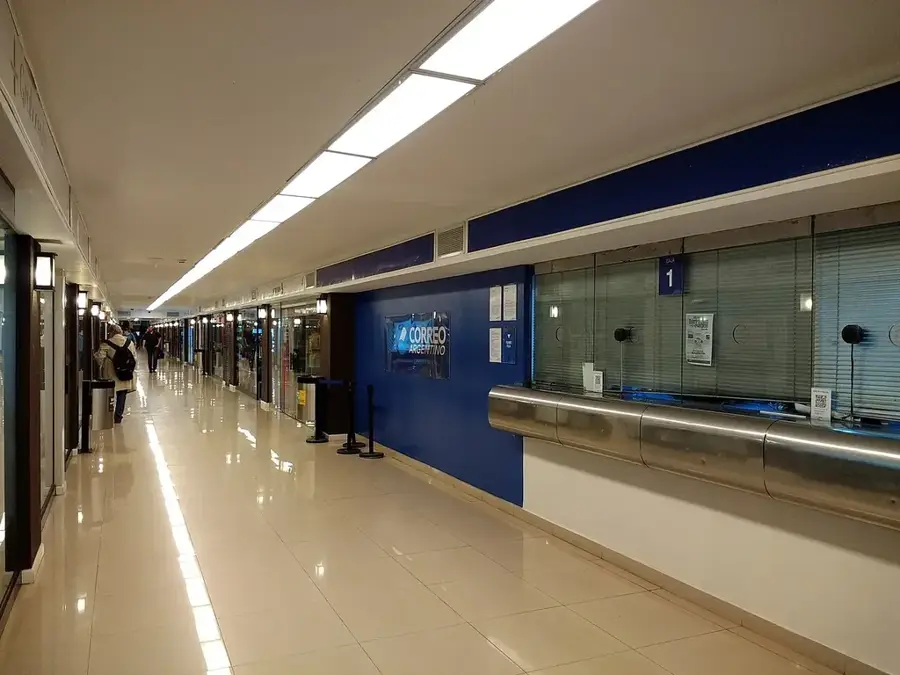
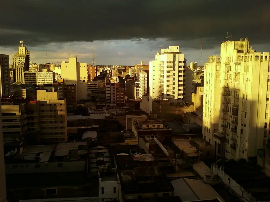
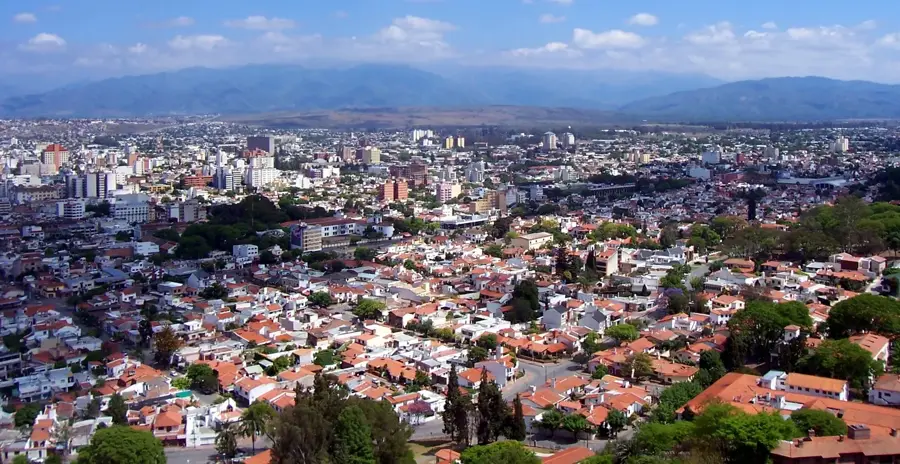
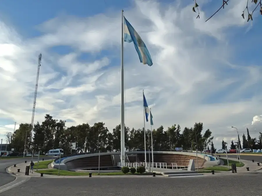
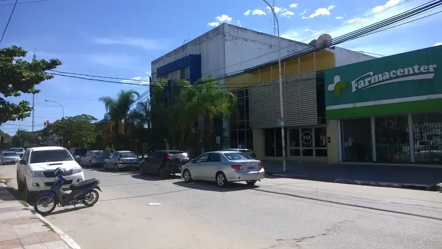
Clorinda is the second most important city in the Formosa Province, located in the far north of Argentina, directly on the border with Paraguay. It sits across from the Paraguayan capital, Asuncion, to which it is linked by the San Ignacio de Loyola International Bridge. The city was officially established in 1899, although settlement in the area began earlier in the 19th century. Clorinda serves as a critical commercial and transit hub within the Mercosur region, with cross-border trade being the primary driver of the local economy. The climate is humid subtropical, shaped by its proximity to the Pilcomayo River and extensive surrounding wetlands. The city is a cultural melting pot where Argentine and Paraguayan traditions blend, and both Spanish and Guarani languages are commonly heard. Key infrastructure includes the International Port of Pilcomayo and significant customs facilities.
- Location: Argentina
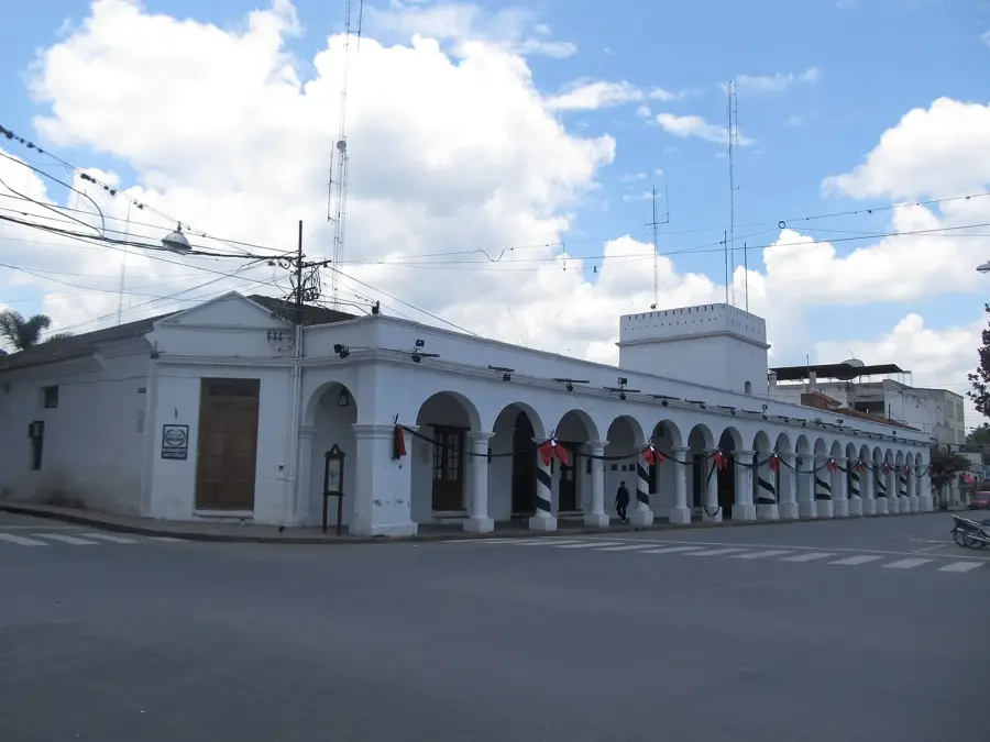
- Top sights: Pirámide de Mayo · Monumento a la Bandera · IGLESIA DE DIOS DE JESUCRISTO INTERNACIONAL
- Population: ~15.000 (2026)
Best time to visit & climate
The most pleasant time to visit is Jun, Aug, Sep.
| Jan | Feb | Mar | Apr | May | Jun | Jul | Aug | Sep | Oct | Nov | Dec | |
|---|---|---|---|---|---|---|---|---|---|---|---|---|
| Avg °C | 28 | 28 | 27 | 23 | 19 | 17 | 16 | 18 | 21 | 24 | 25 | 27 |
| Rain mm | 126 | 139 | 136 | 149 | 143 | 74 | 63 | 38 | 73 | 163 | 191 | 179 |
Geography
Facts
- Officially founded in the year 1899
- Second largest city in the Formosa Province
- Linked to Paraguay via the San Ignacio de Loyola Bridge
- Critical logistics hub for Mercosur regional trade
- Located near the Pilcomayo and Paraguay rivers
- Major center for international customs and transit
Explore nearby
Notable places around
Route planner — Car & Motorhome
Where do you start? We build the route here, with stops and country notes along the way.
© OpenStreetMap contributors · OpenRouteService
Sights in the town Clorinda (6)
Frequently asked questions
How many days do you need for Clorinda?
When is the best time to visit?
How do you get there?
Are there local dishes worth trying?
Is Clorinda family-friendly?
Clorinda: where is it located?
Clorinda: what is there to see?
Clorinda: when is the best time to visit?
Clorinda: why is it worth visiting?

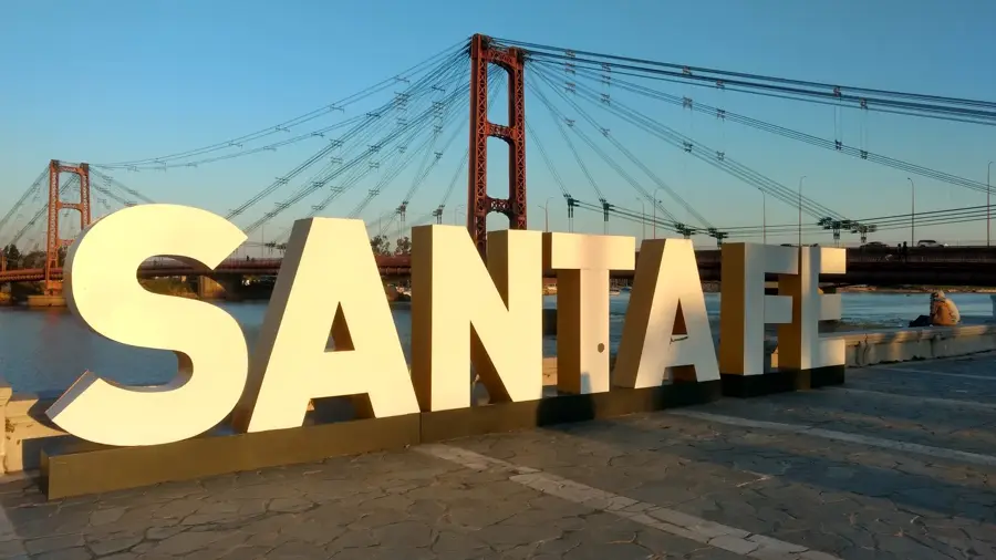
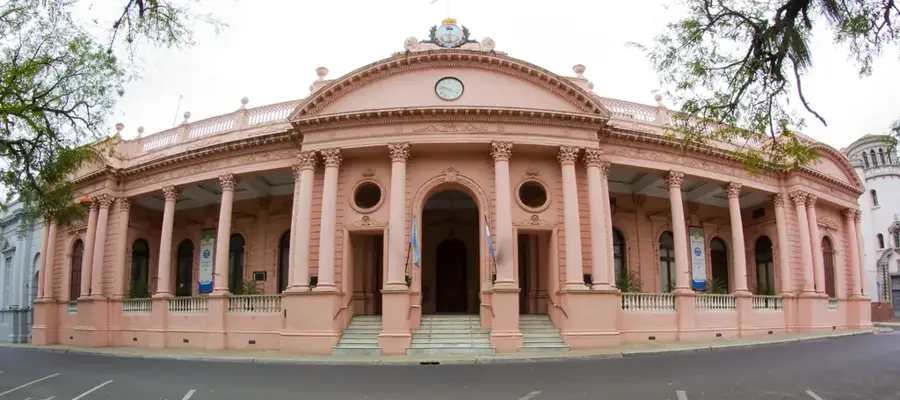
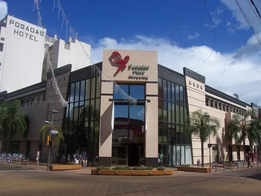
Nearby cities