Plizio Visual Lab
Chilecito
ℹ️Practical info — Chilecito
▾
🌤 Weather — 5 days
📍 Nearby
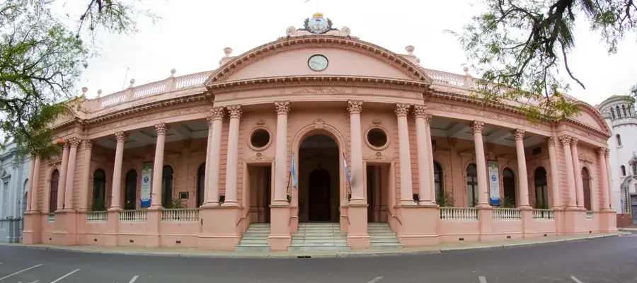
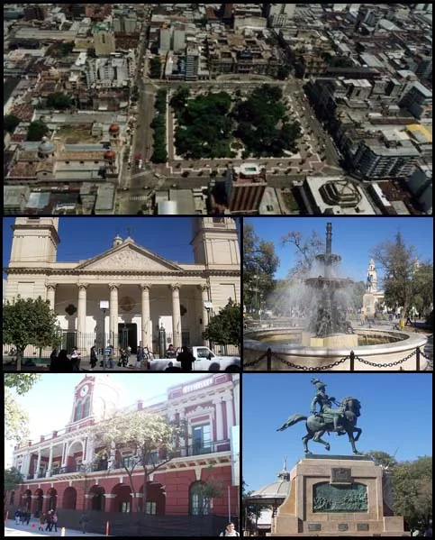
Sights nearby
💡 Tips
- The absolute highlight is the Cable Carril; the museum at Station 1 explains this incredible mining history.
- Try the local Torrontés wine; La Rioja is famous for this aromatic white wine variety.
- Visit the Cristo del Portezuelo for panoramic views of the city and the Famatina mountain range.
- Sun protection is crucial here due to the high altitude and intense sun.
🍽 Food
Distinctive empanadas usually containing potatoes and olives.
A hearty traditional Andean stew, well-suited for cooler days.
Served at local bodegas and restaurants.
🛍 Shopping · 🧘 Quiet spots
Buy directly from local wineries (bodegas) and olive farms.
High-quality local produce found in the city center.
A memorable scenic drive nearby with spectacular viewpoints.
The former resting place of Joaquín V. González, now a museum with peaceful gardens.
Water temperature…
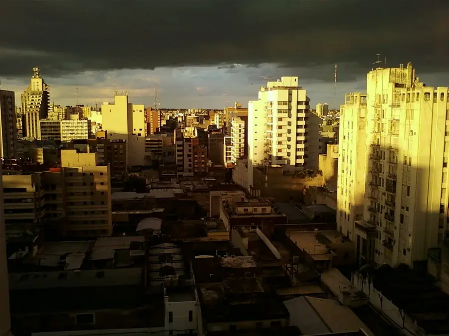
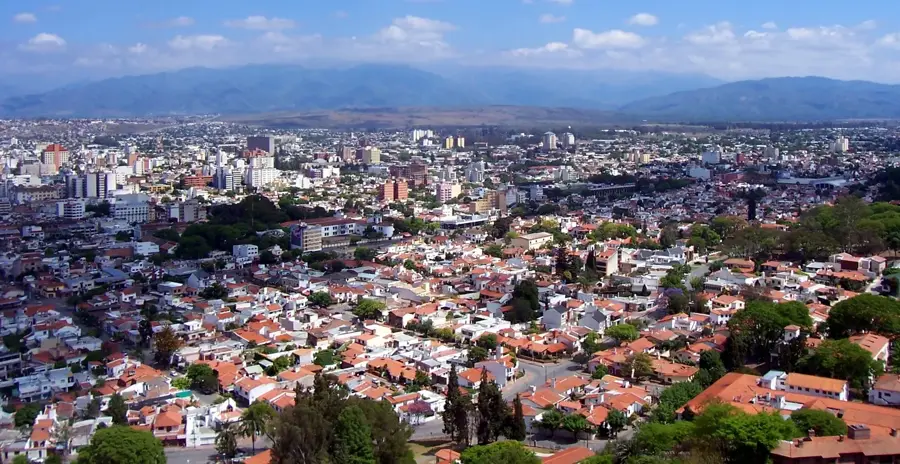
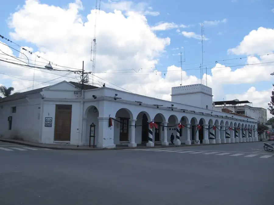
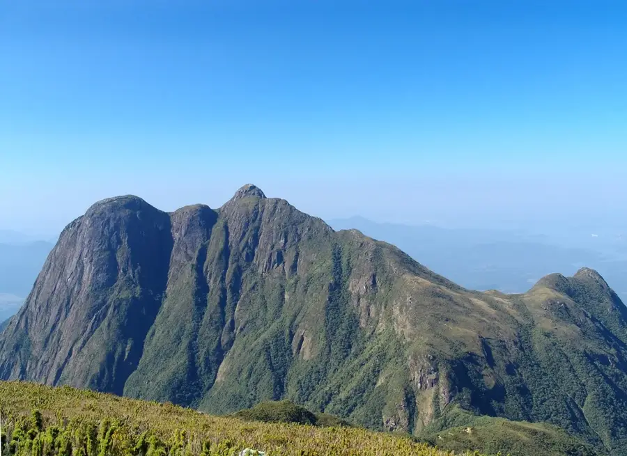
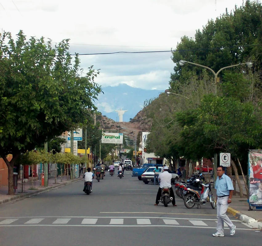
Chilecito is the second-largest city in La Rioja province, tucked away in a scenic valley between the Sierra de Famatina and Sierra de Velasco mountain ranges. Founded on February 19, 1715, by Spanish settlers, the city grew significantly in the late 19th century as a prominent mining hub. Its most famous landmark is the Cable Carril, a 35-kilometer-long aerial ropeway built between 1903 and 1904 to transport gold from the La Mejicana mine at high altitudes. Beyond its industrial heritage, Chilecito is now a major agricultural center, particularly renowned for its grape and olive production. The high-altitude vineyards produce premium Torrontés wines that are internationally recognized for their quality. The dry climate and historic architecture define the city's character, making it a key tourist destination in northwestern Argentina. The town also serves as a strategic base for exploring the surrounding Andean highlands and mining relics.
- Location: Argentina
- Top sights: Samay Huasi · Jardín Botánico Chirau Mita · Molino San Francisco
- Nearby: Belén (83 km)
- Population: ~42.248 (2026)
Best time to visit & climate
The most pleasant time to visit is Feb, Nov, Dec.
| Jan | Feb | Mar | Apr | May | Jun | Jul | Aug | Sep | Oct | Nov | Dec | |
|---|---|---|---|---|---|---|---|---|---|---|---|---|
| Avg °C | 17 | 16 | 14 | 11 | 8 | 6 | 6 | 7 | 9 | 13 | 15 | 17 |
| Rain mm | 93 | 72 | 59 | 35 | 12 | 4 | 4 | 2 | 17 | 19 | 36 | 70 |
Geography
Facts
- Founded on February 19, 1715, originally named Santa Rita.
- The Cable Carril features 9 stations and reaches 4,600 meters in altitude.
- The aerial ropeway was constructed by the German company Bleichert & Co.
- Central hub for the production of Torrontés Riojano white wine.
- The La Mejicana mine is located in the Sierra de Famatina range.
- Home to the Samay Huasi Museum, former residence of Joaquín V. González.
Explore nearby
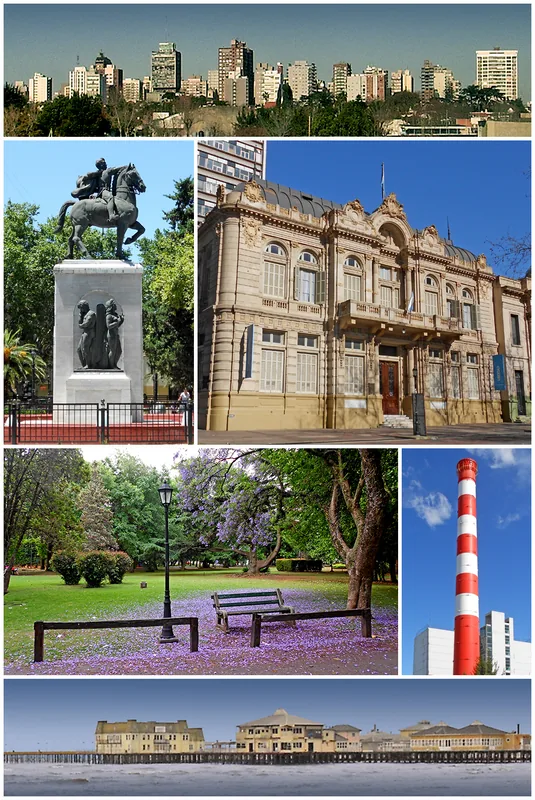
Notable places around
Route planner — Car & Motorhome
Where do you start? We build the route here, with stops and country notes along the way.
© OpenStreetMap contributors · OpenRouteService
Sights in the town Chilecito (8)
Frequently asked questions
How many days do you need for Chilecito?
When is the best time to visit?
How do you get there?
What local food is worth trying?
Is Chilecito family-friendly?
Chilecito: where is it located?
Chilecito: what is there to see?
Chilecito: when is the best time to visit?
Chilecito: why is it worth visiting?

Nearby cities