Plizio Visual Lab
Cerro Bonete
Weather…
Water temperature…
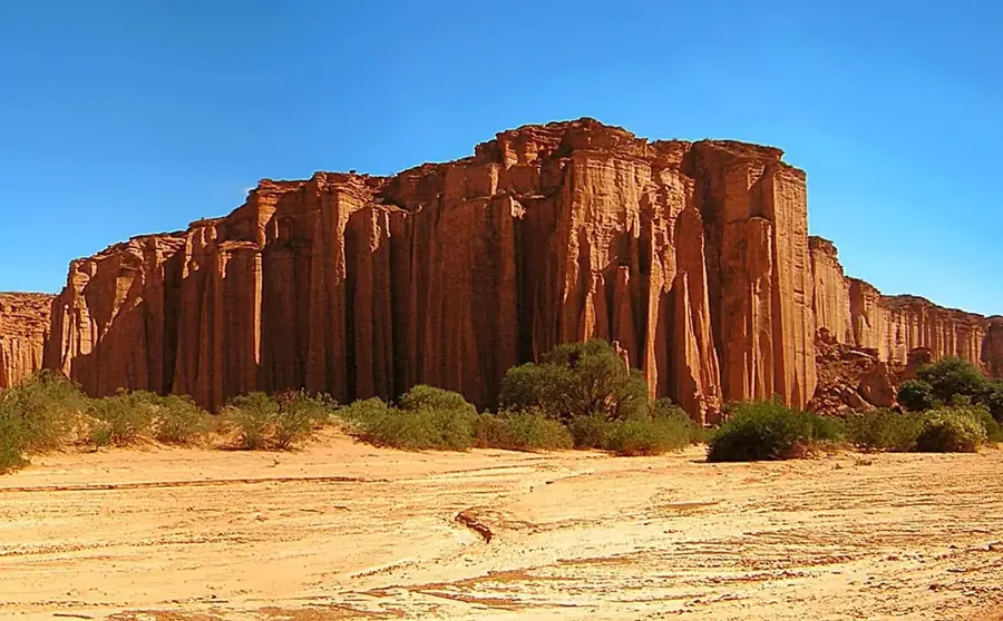
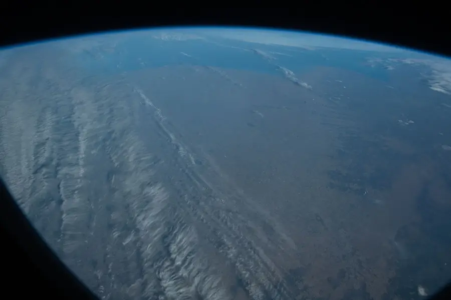
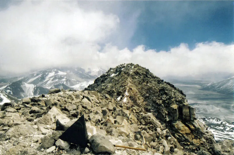
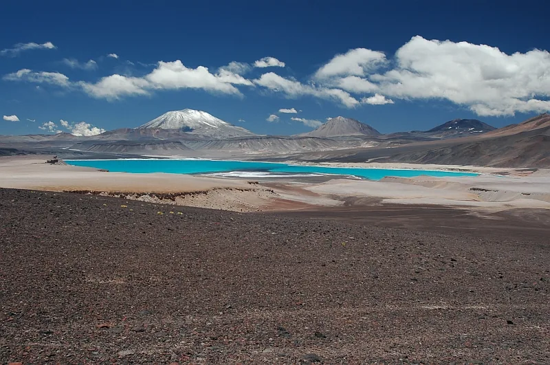
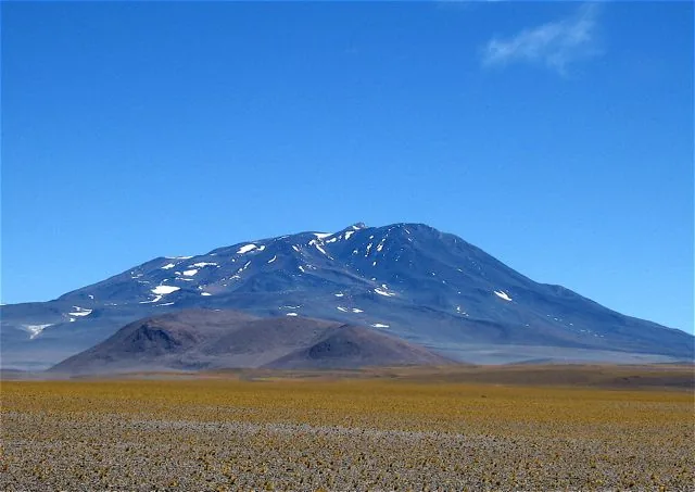
Cerro Bonete Chico is the fourth highest mountain in South America, reaching 6,759 meters, located in the province of La Rioja in one of the most isolated regions of the Andes. It is part of the volcanic circle of the Puna de Atacama and is a massive, multi-peaked mountain composed largely of volcanic rock. Although its name suggests something 'small,' it is a silent giant, situated near the Monte Pissis complex. The region is characterized by extreme aridity, strong winds, and an almost lunar landscape, with colorful lagoons at its base where flamingos can be seen. Due to its isolation and logistical difficulties, it was one of the last great mountains of the Andes to be explored in detail and accurately measured by GPS.
- Location: Argentina
- Top sights: Peñas Azules · Cerro Bonete Chico
📋 Practical info
Geography
Facts
- The official height is 6,759 meters above sea level.
- Located in the northwest of La Rioja province.
- It is the fourth highest peak in the Western and Southern Hemispheres.
- The name 'Bonete' refers to the cap-like shape of the summit.
- The first documented ascent was in 1913 by geologist Walther Penck.
- Part of the protected area of the Laguna Brava Provincial Reserve.
- Hosts small high-altitude glaciers on its southern slopes.
Explore nearby
Notable places around
Route planner — Car & Motorhome
Where do you start? We build the route here, with stops and country notes along the way.
© OpenStreetMap contributors · OpenRouteService
Sights in the town Cerro Bonete (2)
Sights nearby
Frequently asked questions
How high is the Cerro Bonete?
Is the climb dangerous?
Do I need special equipment?
How long does a climb take?
Are there guided tours?
Cerro Bonete: where is it located?
Cerro Bonete: what is there to see?
Cerro Bonete: why is it worth visiting?

More places