Plizio Visual Lab
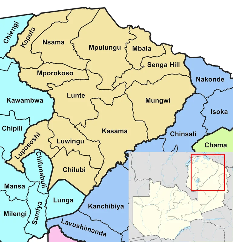
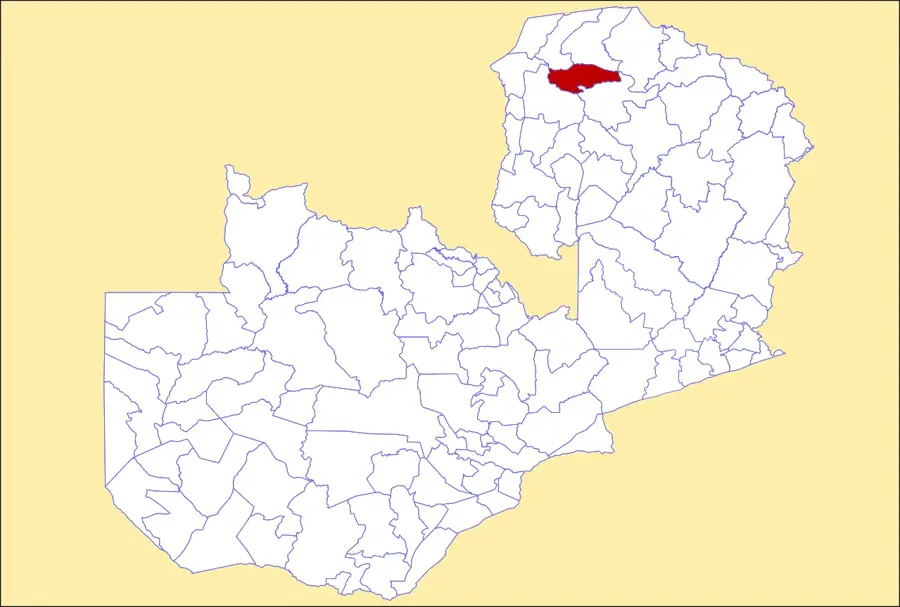
Mporokoso Plateau
Weather…
Water temperature…
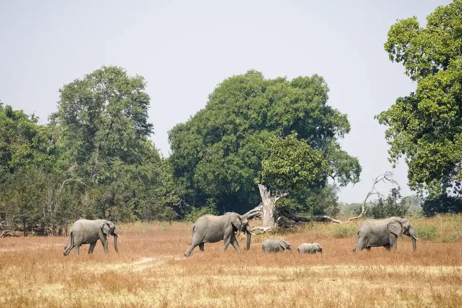
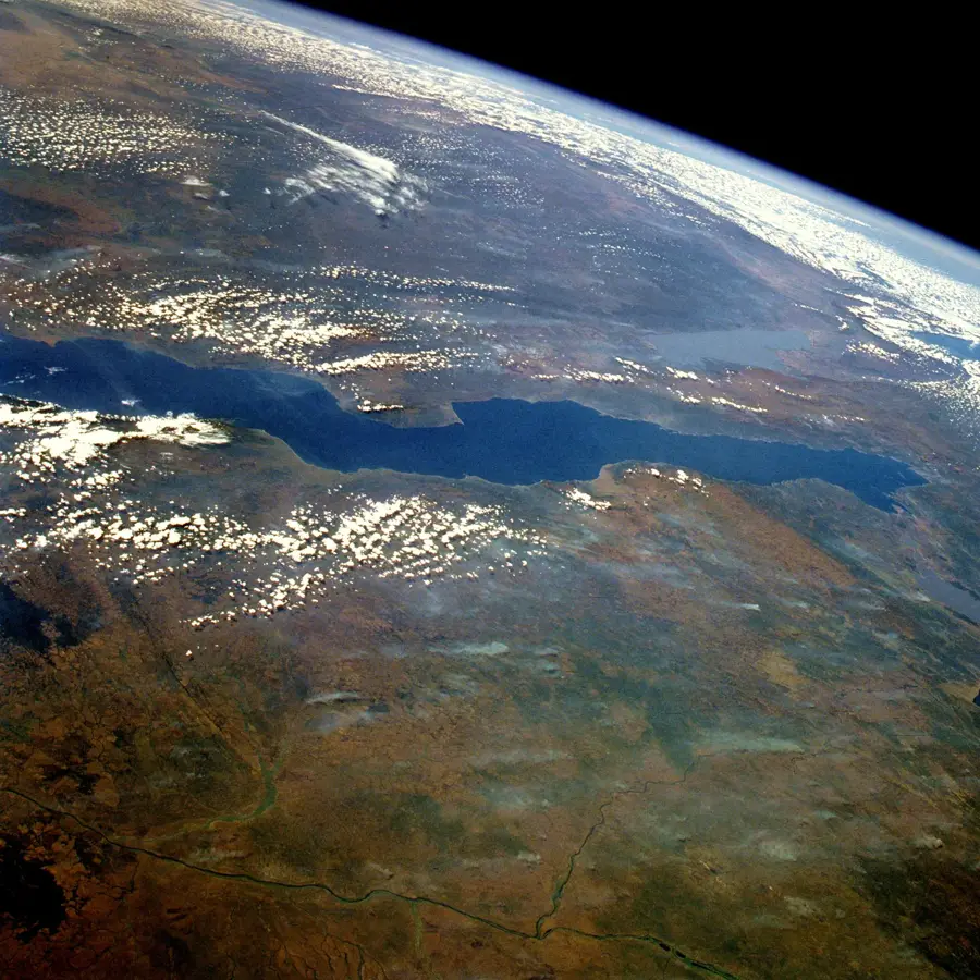
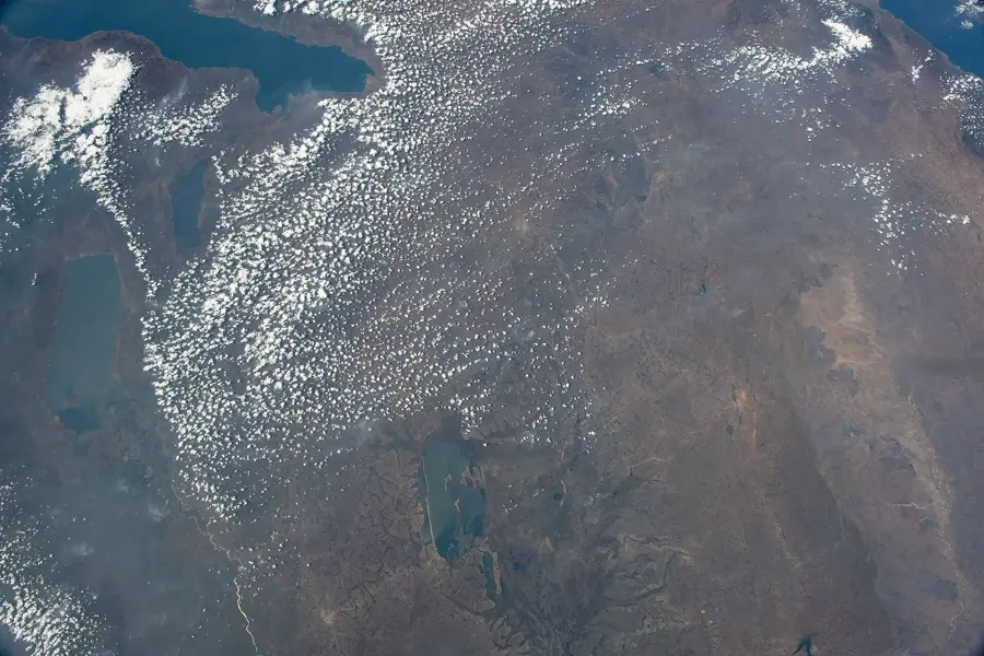
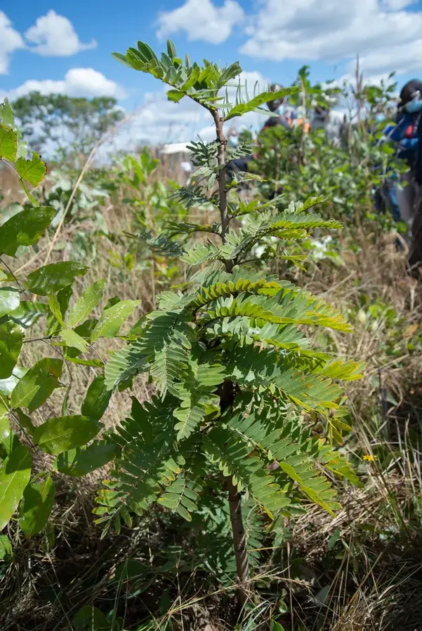
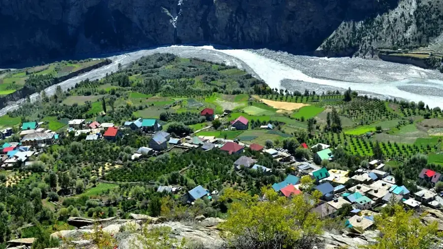
The Mporokoso Plateau is situated in Zambia's Northern Province at an average elevation of approximately 1,400 metres above sea level. It forms a vast, gently undulating upland between Lake Mweru Wantipa and Lake Tanganyika. The plateau's geology primarily consists of sedimentary rocks from the Kundelungu system, which erosion has sculpted into deep gorges and spectacular waterfalls such as Lumangwe Falls. The Kalungwishi River traverses the highland and serves as a vital water source for the local population and wildlife. The climate on the plateau is cooler and wetter than in the lower-lying valleys, promoting the growth of extensive Miombo woodlands. Historically, the region served as an important corridor for the migration patterns of various Bantu tribes. Today, the Mporokoso Plateau is recognized for its pristine natural environment and plays a significant role in Central Africa's ecological network.
- Location: Zambia
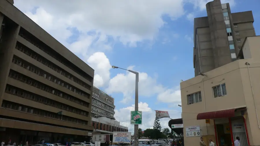
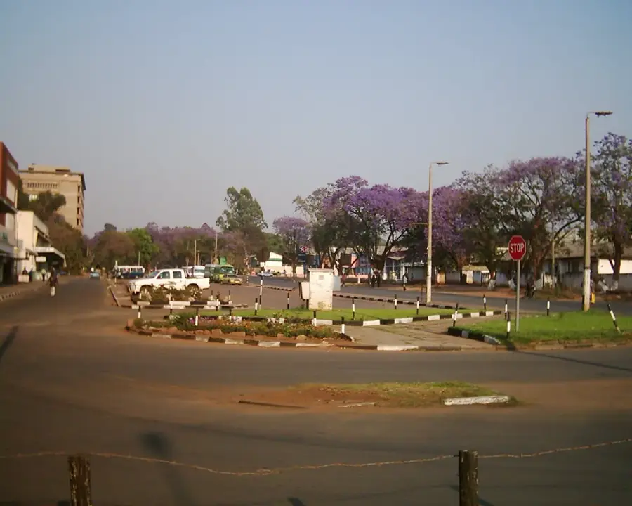
- Nearby: Mporokoso (25 km)
Best time to visit & climate
The most pleasant time to visit is May, Aug, Sep.
| Jan | Feb | Mar | Apr | May | Jun | Jul | Aug | Sep | Oct | Nov | Dec | |
|---|---|---|---|---|---|---|---|---|---|---|---|---|
| Avg °C | 20 | 21 | 21 | 21 | 19 | 18 | 18 | 21 | 24 | 25 | 23 | 21 |
| Rain mm | 246 | 178 | 193 | 65 | 7 | 2 | 2 | 2 | 5 | 29 | 142 | 258 |
📋 Practical info
Geography
Facts
- The average elevation of the plateau is 1,400 m above sea level.
- Lumangwe Falls on the Kalungwishi River stands 35 metres high.
- The plateau is part of the Bangweulu Block, over one billion years old.
- The rainy season typically lasts from November to April.
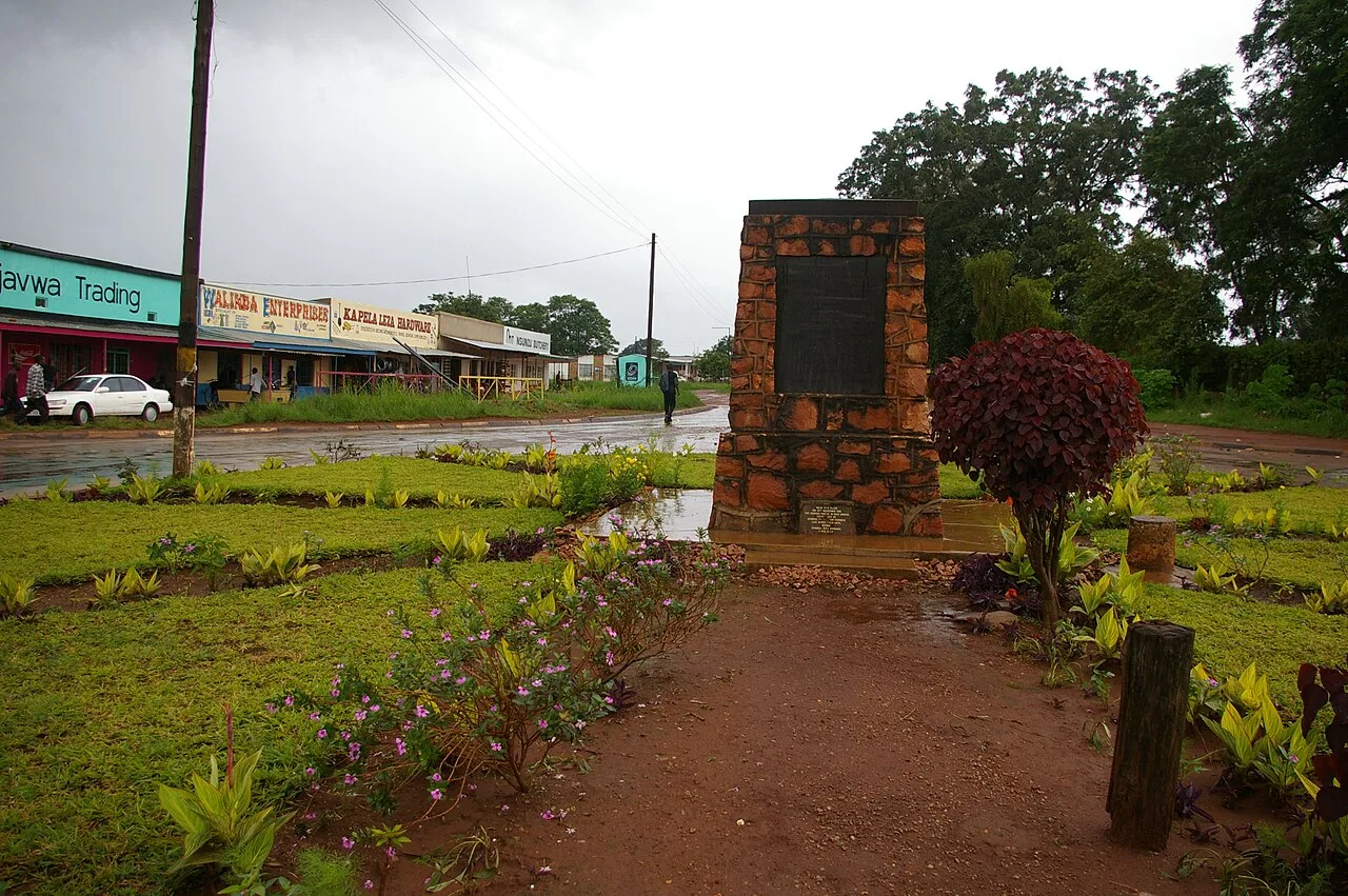
- Mporokoso was established as an administrative outpost around 1900.
- The soil primarily consists of acidic, nutrient-poor ferralsols.
Explore nearby
Notable places around
Route planner — Car & Motorhome
Where do you start? We build the route here, with stops and country notes along the way.
© OpenStreetMap contributors · OpenRouteService
Sights nearby
Frequently asked questions
How is the climate on the Mporokoso Plateau?
Can I camp there?
Are there hiking trails there?
When should one travel?
Are there dangers there?
Mporokoso Plateau: where is it located?
Mporokoso Plateau: when is the best time to visit?
Mporokoso Plateau: why is it worth visiting?

Nearby cities
History & landmarks
More places