Plizio Visual Lab
Chililabombwe
ℹ️Practical info — Chililabombwe
▾
🌤 Weather — 5 days
📍 Nearby
Sights nearby
💡 Tips
- As a mining town, industrial areas have restricted access; always observe local signage.
- The town is very close to the DRC border, so expect high cross-border traffic; keep your passport handy if traveling north.
- Visit the local markets early in the morning for the freshest produce.
- Cash is king here; ensure you have enough Zambian Kwacha as ATMs can run out of cash.
🍽 Food
Found at local eateries near the main market.
Served with maize porridge in traditional restaurants.
Available directly from street vendors in the town center.
🛍 Shopping · 🧘 Quiet spots
The main hub for fresh produce and daily necessities.
Sometimes available from local artisans near the mining compounds.
Peaceful spots for a walk away from the bustling center.
On non-match days, the surrounding grounds offer open space.
Water temperature…
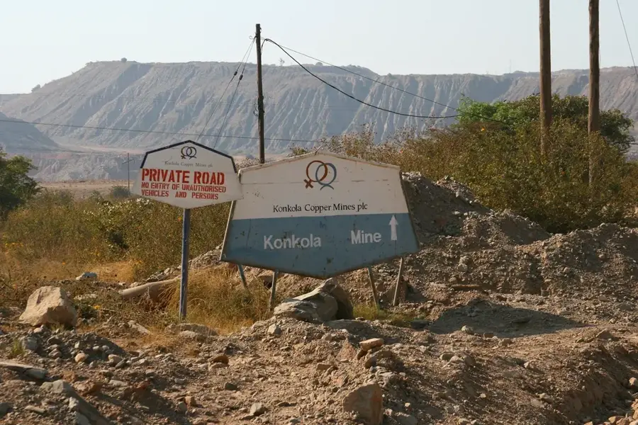
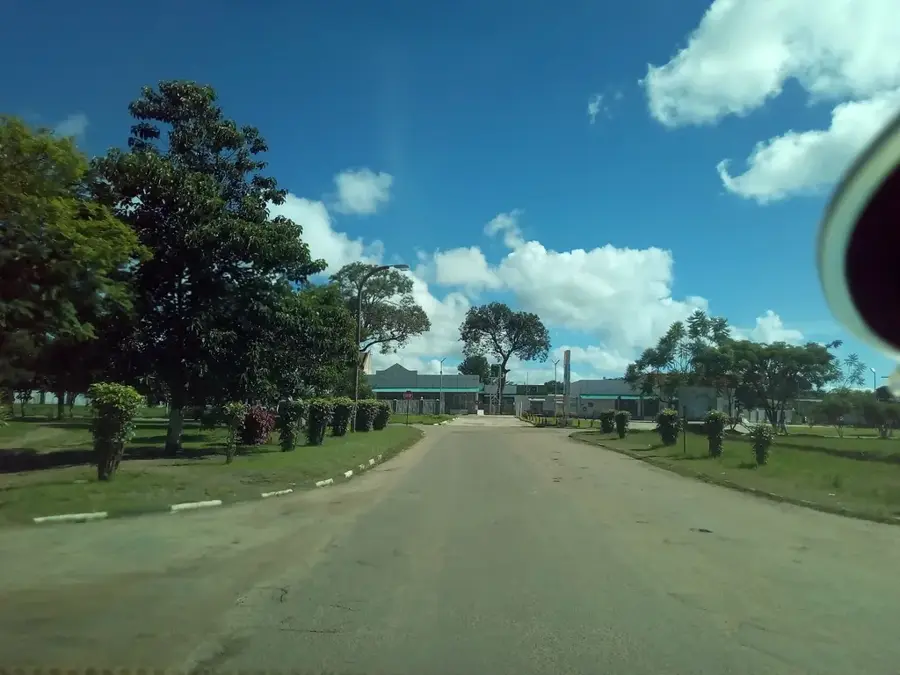
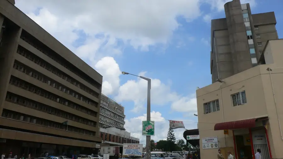
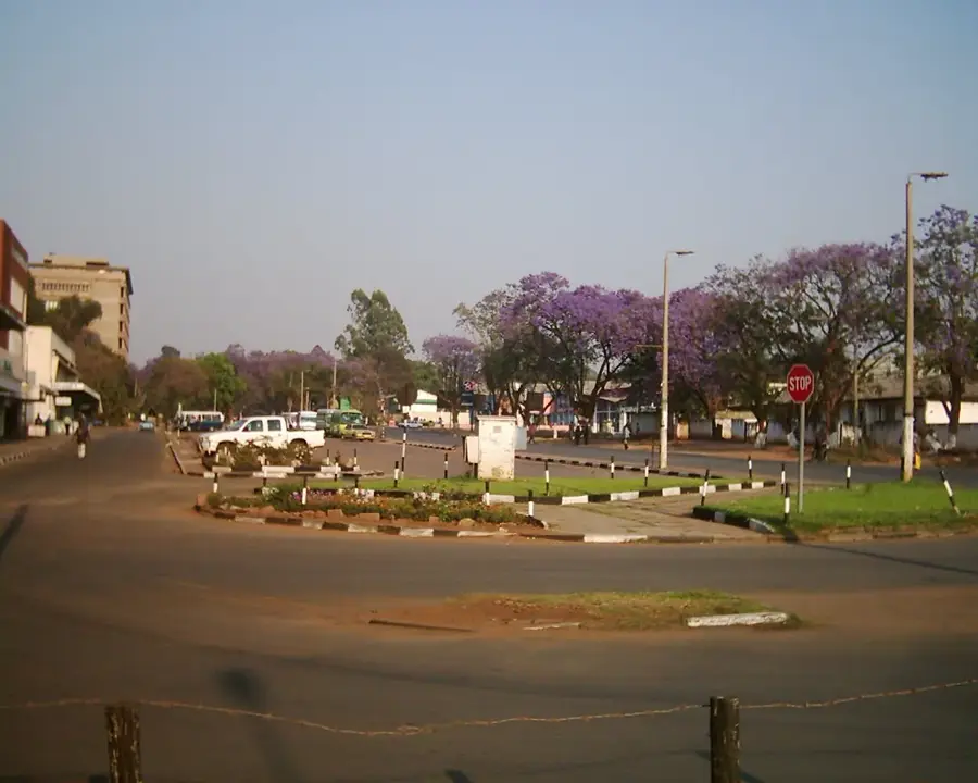
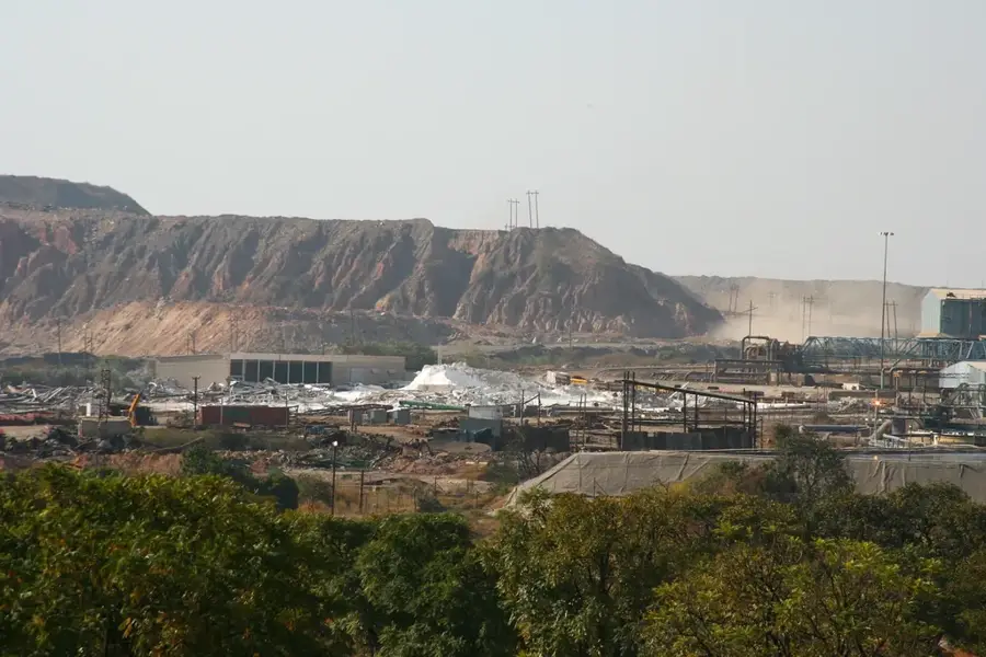
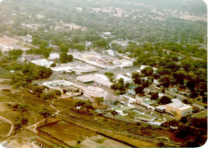
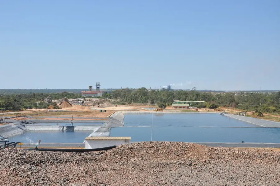
Chililabombwe is a major mining town in the Copperbelt Province of Zambia, located directly on the border with the Democratic Republic of the Congo. The town's name translates to 'place of the croaking frog' in the local Lamba language, referring to the swampy terrain that characterized the area before development. The settlement was officially established in 1957 under the name Bancroft, later renamed following Zambia's independence. The town's economy is almost entirely centered on copper mining, specifically through the Konkola Copper Mines, which operates one of the wettest underground mines in the world. Geographically, Chililabombwe is situated at the northern terminus of the Zambian copper belt and serves as a vital border crossing for goods traveling to and from Lubumbashi. Beyond mining, cross-border trade has become an increasingly important sector for the local population. The town features well-developed infrastructure, including hospitals and schools originally built to serve the mining community.
- Location: Zambia
- Nearby: Chingola (18 km)
- Population: ~113.876 (2024)
Best time to visit & climate
The most pleasant time to visit is May, Aug, Sep.
| Jan | Feb | Mar | Apr | May | Jun | Jul | Aug | Sep | Oct | Nov | Dec | |
|---|---|---|---|---|---|---|---|---|---|---|---|---|
| Avg °C | 21 | 21 | 21 | 20 | 18 | 17 | 17 | 20 | 24 | 26 | 24 | 22 |
| Rain mm | 284 | 209 | 168 | 42 | 3 | 1 | 0 | 2 | 2 | 21 | 131 | 271 |
Geography
Facts
- Chililabombwe is located approximately 26 kilometers north of Chingola.
- The Konkola Mine extracts copper from depths exceeding 1,300 meters.
- The town was originally named after Sir Tomlinson Bancroft, a Canadian geologist.
- Chililabombwe experiences some of the highest rainfall levels in the Copperbelt.
- The Kasumbalesa border post is one of the busiest transit points in the region.
- The town is home to the Konkola Blades FC football club.
Explore nearby
Notable places around
Route planner — Car & Motorhome
Where do you start? We build the route here, with stops and country notes along the way.
© OpenStreetMap contributors · OpenRouteService
Sights in the town Chililabombwe (1)
Frequently asked questions
How many days should I spend in Chililabombwe?
When is the best time to visit Chililabombwe?
What is the best way to get to Chililabombwe?
What local cuisine should I try?
Is Chililabombwe family-friendly?
Chililabombwe: where is it located?
Chililabombwe: when is the best time to visit?
Chililabombwe: why is it worth visiting?

Nearby cities
History & landmarks
More places