Plizio Visual Lab
Tanganyika Plateau
Weather…
Water temperature…
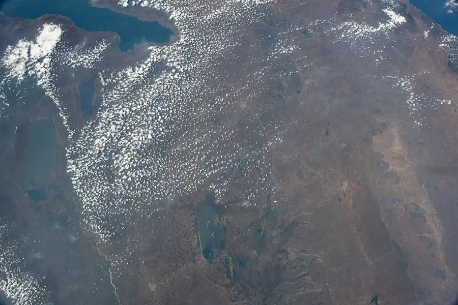
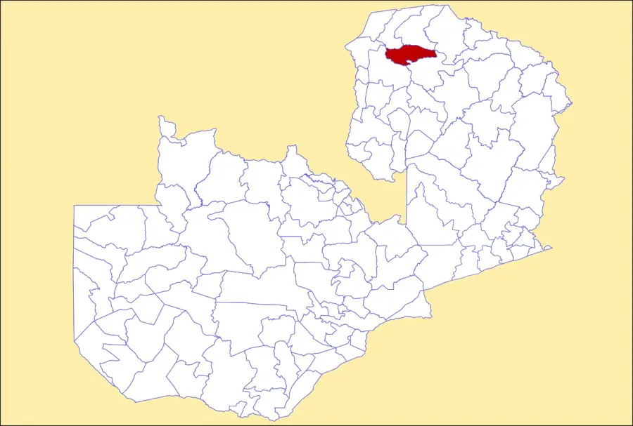
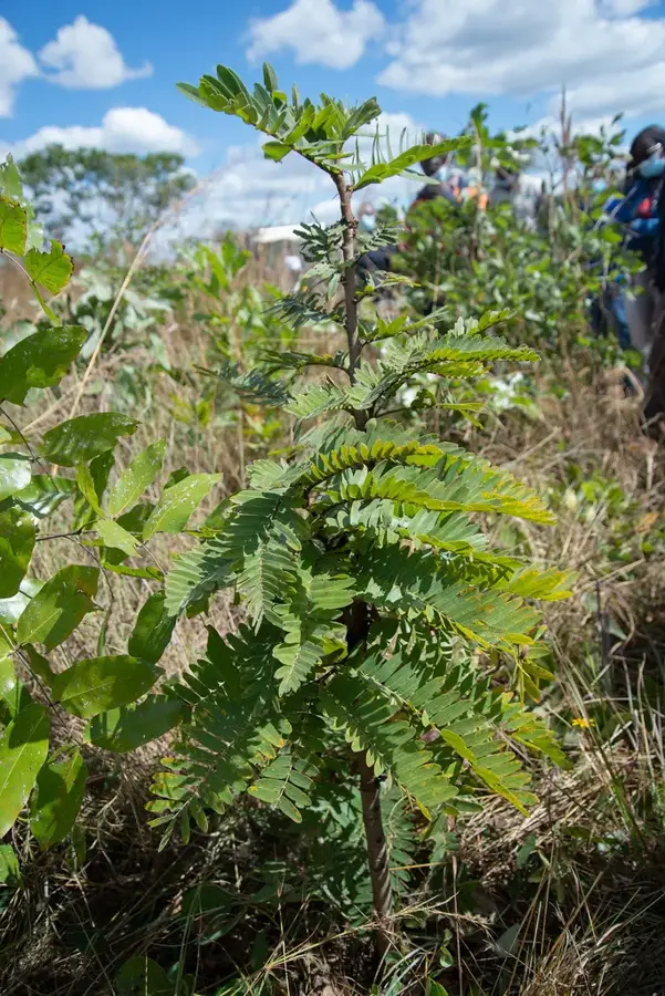
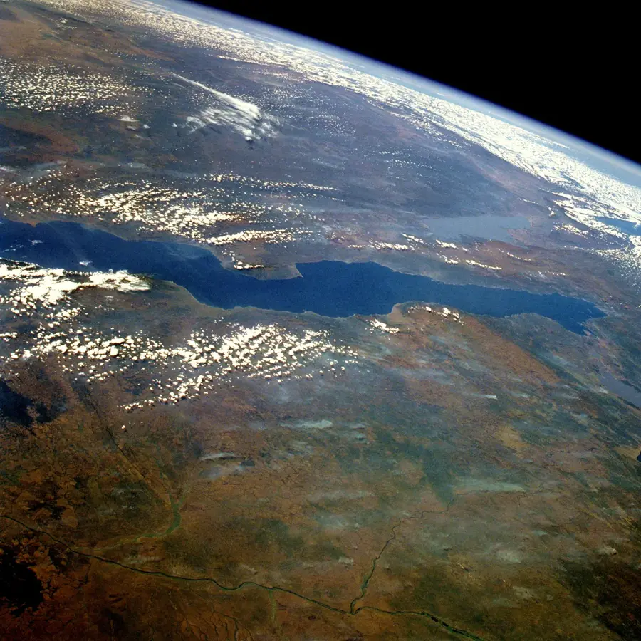
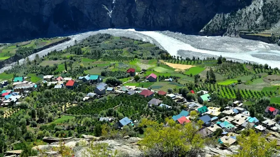
The Tanganyika Plateau is situated in the far north of Zambia, forming an extensive upland area between the Luapula Valley and Lake Tanganyika. This region is part of the larger Central African Plateau and is characterized by average elevations ranging from 1,200 to 1,500 meters above sea level. Geologically, the plateau is composed of ancient Precambrian basement rock that has been weathered over eons into a gently undulating landscape. The northern edge of the plateau features a dramatic drop into the Albertine Rift, creating spectacular escarpments and waterfalls such as the 221-meter Kalambo Falls. Due to its elevation, the plateau enjoys a more temperate and humid climate than much of the country, supporting lush Miombo woodlands. Historically, it served as a vital settlement area for various Bantu-speaking groups who were drawn to its fertile soils and reliable water sources. The plateau's hydrological significance is profound, as it acts as a major drainage divide with rivers flowing into the Congo basin or directly into Lake Tanganyika. Today, the plateau is an important agricultural zone and a gateway for regional trade with Tanzania and the Great Lakes region.
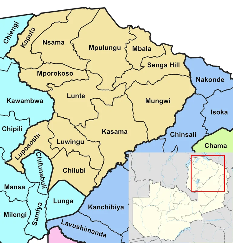
- Location: Zambia
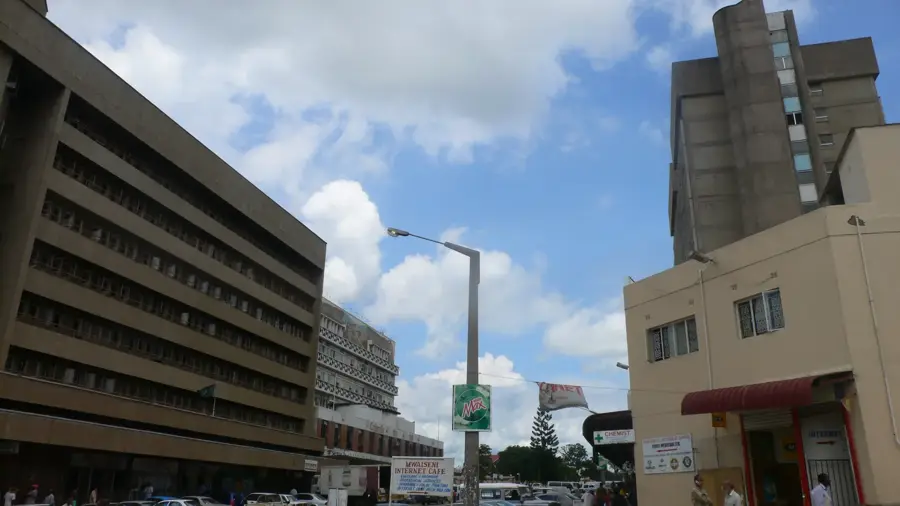
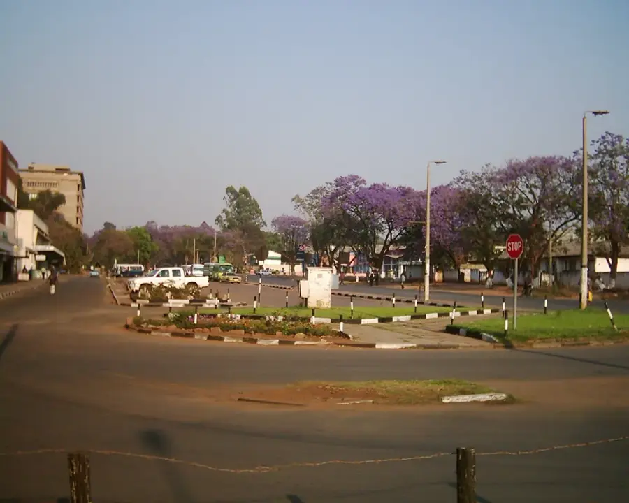
- Nearby: Mpulungu (26 km)
Best time to visit & climate
The most pleasant time to visit is May, Aug, Sep.
| Jan | Feb | Mar | Apr | May | Jun | Jul | Aug | Sep | Oct | Nov | Dec | |
|---|---|---|---|---|---|---|---|---|---|---|---|---|
| Avg °C | 19 | 20 | 20 | 19 | 18 | 16 | 16 | 19 | 22 | 24 | 22 | 20 |
| Rain mm | 261 | 188 | 201 | 78 | 12 | 3 | 3 | 6 | 5 | 25 | 132 | 269 |
📋 Practical info
Geography
Facts
- The plateau sits at an average elevation of 1,200 to 1,500 meters.
- The 221-meter Kalambo Falls are located on the plateau's northern edge.
- Geologically, it is part of the ancient and stable Precambrian African Shield.
- The region receives high annual rainfall, often exceeding 1,200 mm.
- The plateau serves as a major watershed for the Congo and Tanganyika basins.
- Lateritic soils are common, supporting extensive Miombo forest cover.
Explore nearby
Notable places around
Route planner — Car & Motorhome
Where do you start? We build the route here, with stops and country notes along the way.
© OpenStreetMap contributors · OpenRouteService
Sights in the town Tanganyika Plateau (1)
Sights nearby
Frequently asked questions
Is the Tanganyika Plateau easily accessible?
What is the best season for a visit?
Are there accommodation options there?
What is the plateau known for?
Is it safe to explore on foot?
Tanganyika Plateau: where is it located?
Tanganyika Plateau: when is the best time to visit?
Tanganyika Plateau: why is it worth visiting?

Nearby cities

History & landmarks
More places