Plizio Visual Lab
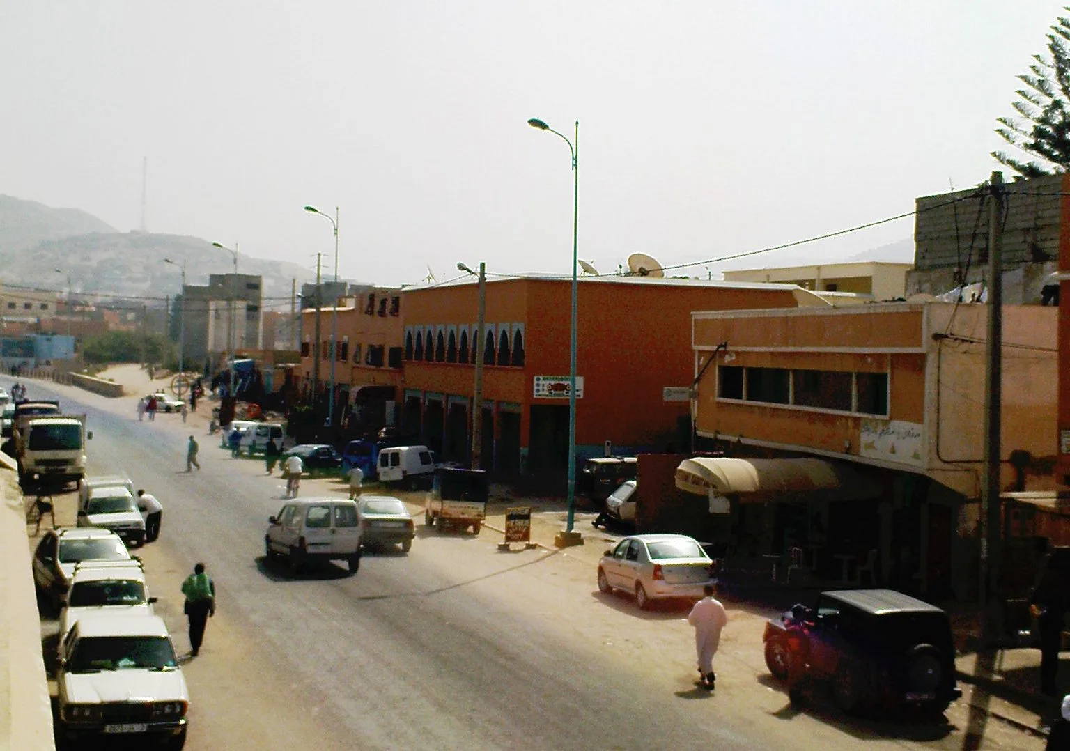
Massa
Weather…
Water temperature…
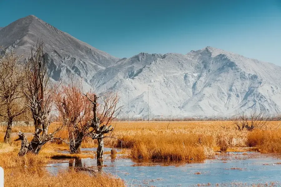
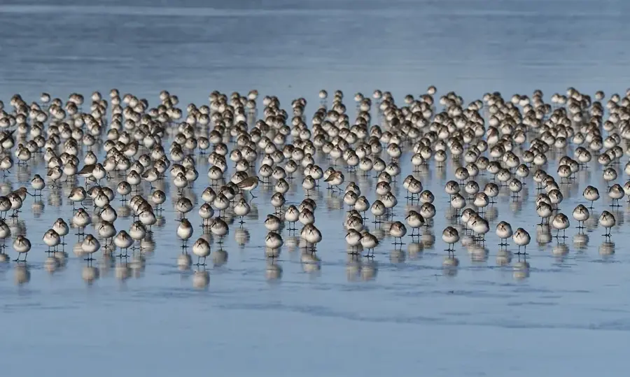
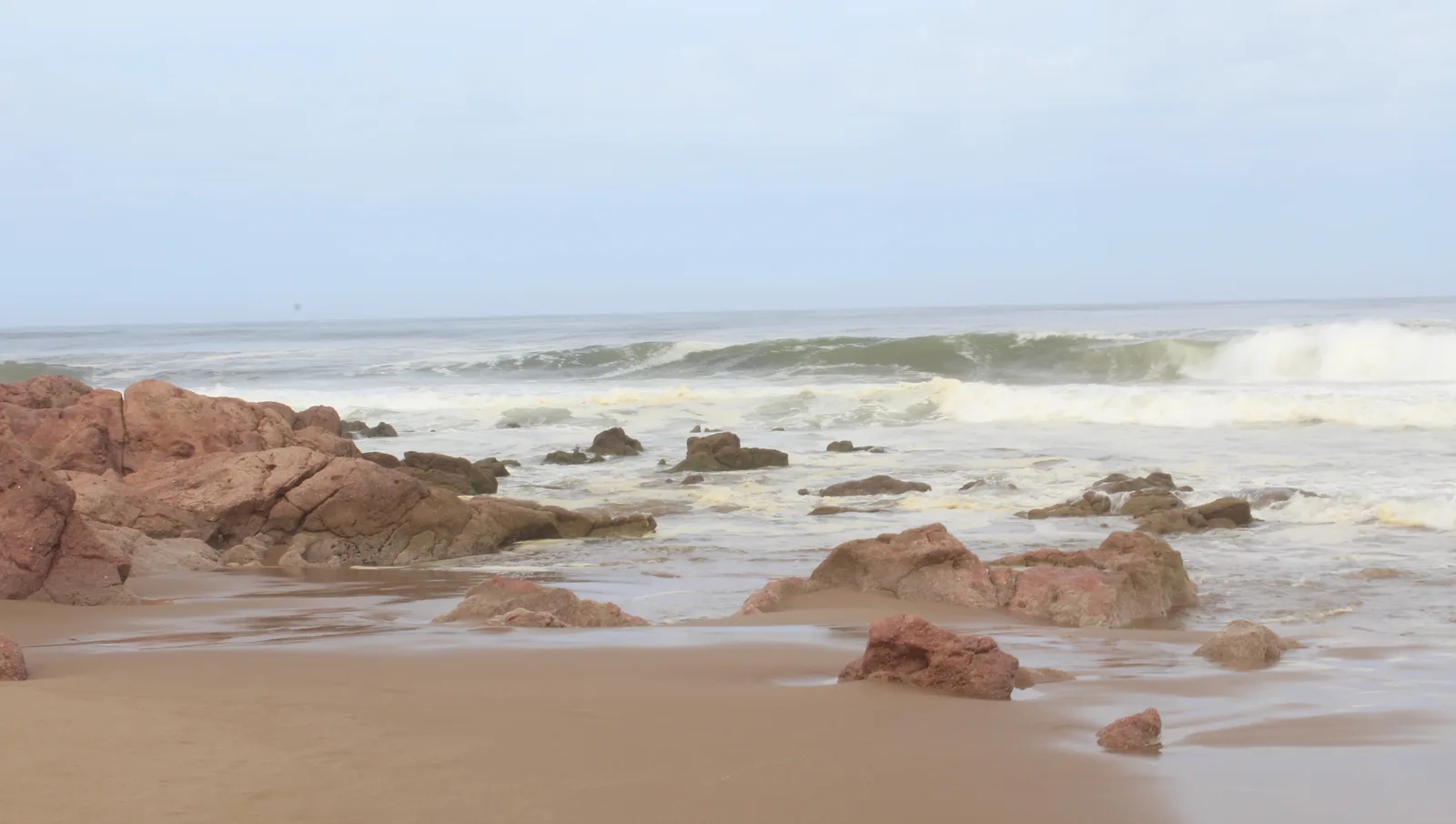
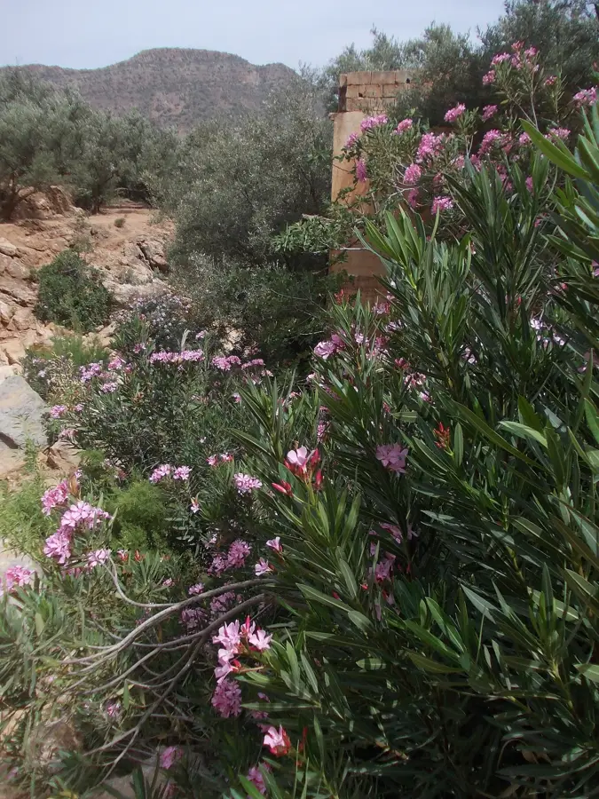
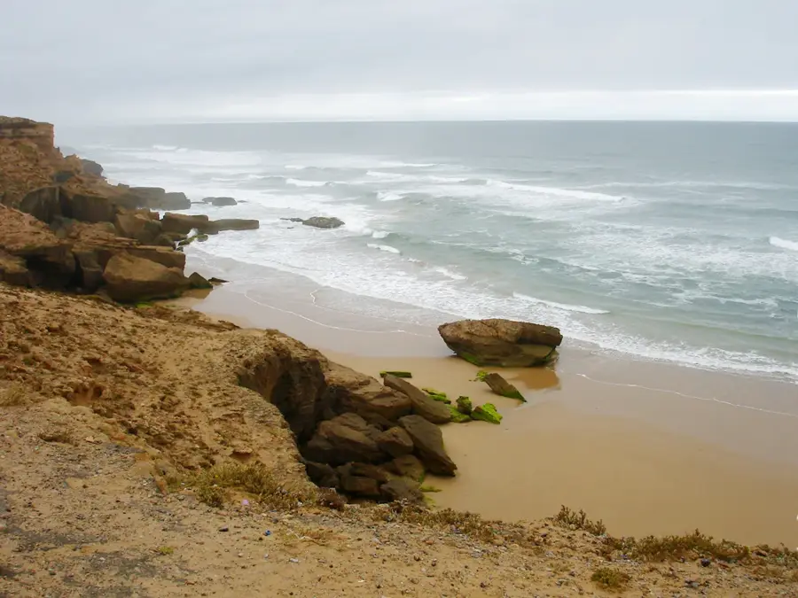
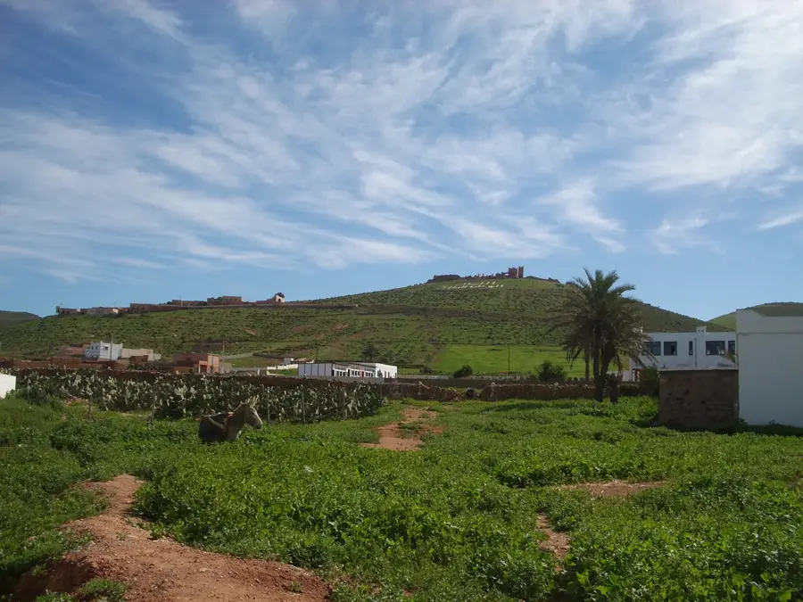
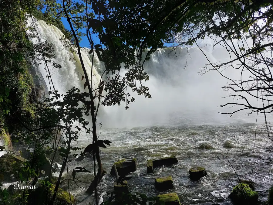
Oued Massa is a relatively short but ecologically vital river in southwestern Morocco, giving its name to the Souss-Massa National Park. It stretches for about 120 kilometers, originating in the Anti-Atlas mountains before flowing into the Atlantic Ocean south of Agadir. The unique feature of Oued Massa is its permanent estuary, which creates a lush green oasis within the arid coastal landscape. This region is world-renowned for its birdlife, particularly as the last natural breeding ground for the endangered Northern Bald Ibis. The lagoons and reed beds at the mouth serve as a critical resting point for thousands of migratory birds traveling between Europe and Africa. Since 2005, the area has been protected as a Ramsar wetland of international importance. Beyond its ecological role, the river sustains local villages and palm groves through traditional irrigation systems.
- Location: Morocco
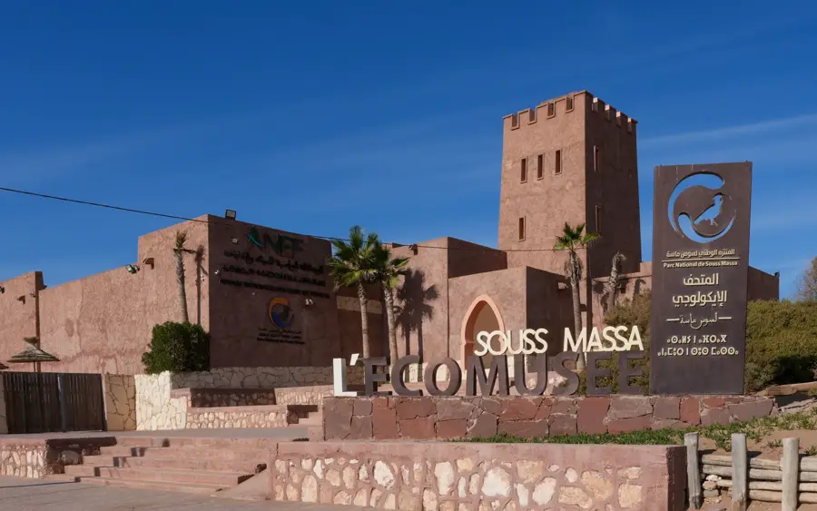
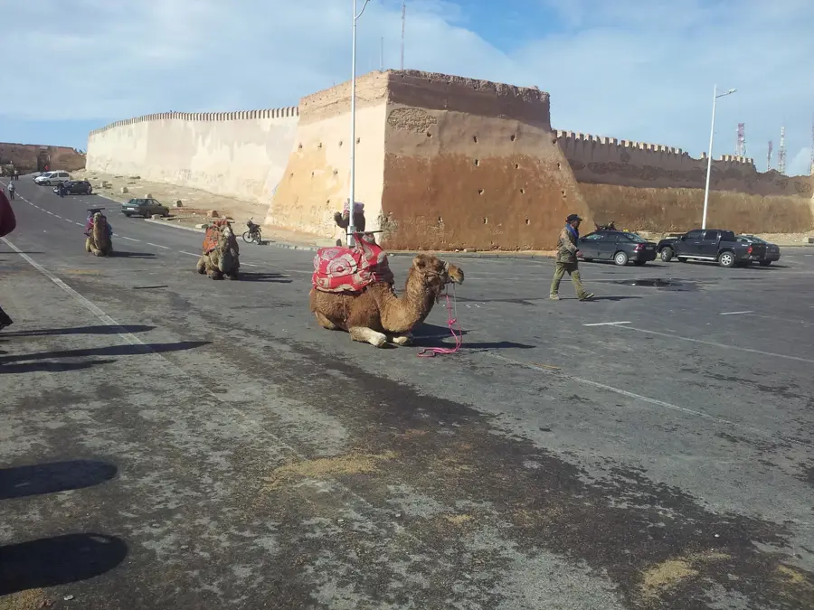
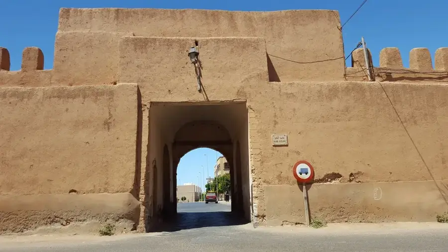
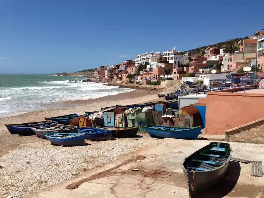
- Top sights: Fisherman's Cave · L‘Eco Musee Souss-Massa National Park · Observatoire de l'Oued Massa
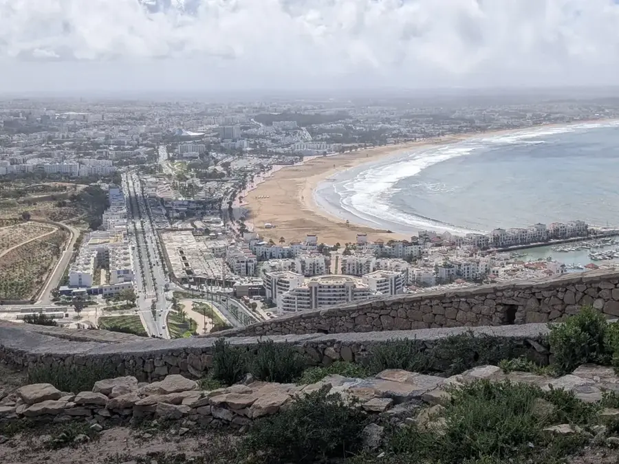
- Nearby: Agadir (36 km)
📋 Practical info
Geography
Facts
- The river has a total length of approximately 120 kilometers.
- Gives its name to and forms the heart of Souss-Massa National Park.
- Home to the world's last wild colony of Northern Bald Ibises.
- Designated as a Ramsar wetland of importance since 2005.
- Features a permanent freshwater estuary on the Atlantic coast.
- Major stopover for migratory birds on the Euro-African flyway.
Explore nearby
Notable places around
Route planner — Car & Motorhome
Where do you start? We build the route here, with stops and country notes along the way.
© OpenStreetMap contributors · OpenRouteService
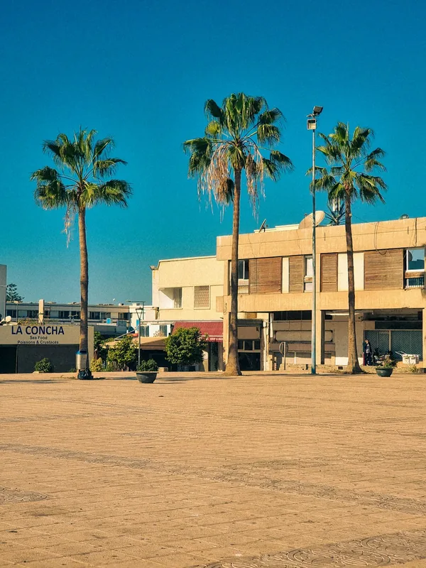
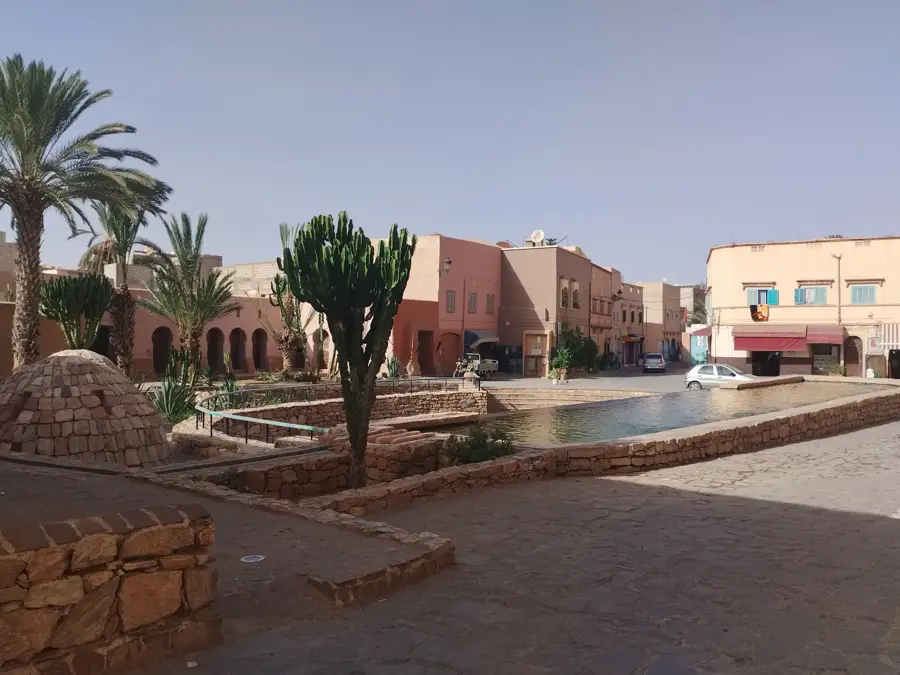
Sights in the town Massa (4)
Sights nearby
Frequently asked questions
Why is the Massa reserve so important?
Can you visit the park on your own?
What clothing should be worn?
Are there any dining options?
How long does a typical visit take?
Massa: where is it located?
Massa: what is there to see?
Massa: why is it worth visiting?

Nearby cities

History & landmarks
Nature
More places