Plizio Visual Lab
Isangano National Park

Weather…
Water temperature…
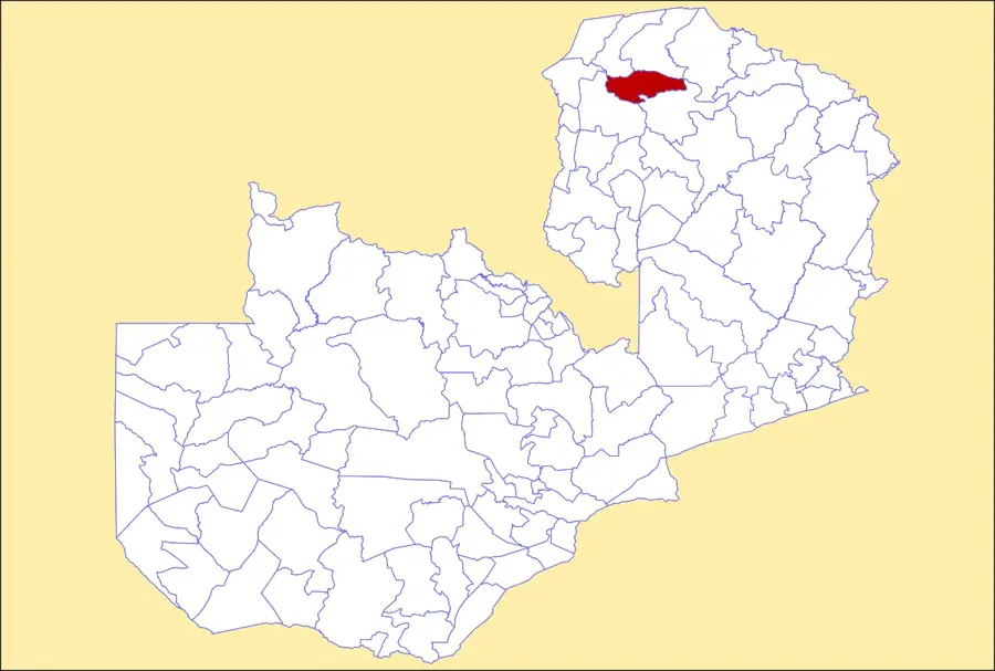
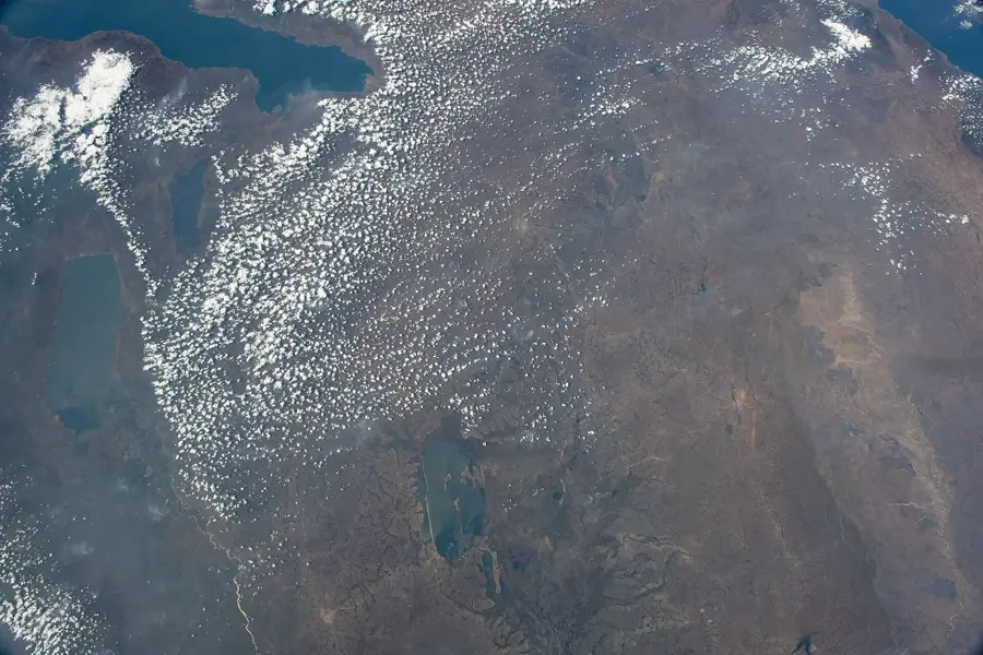
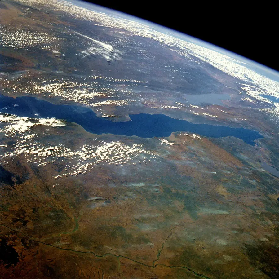
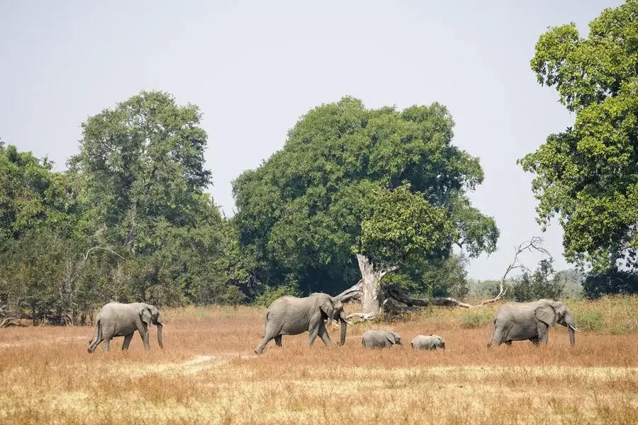
Isangano National Park is a remote conservation area located in the Luwingu District of northern Zambia, encompassing approximately 840 square kilometers. Situated on the eastern periphery of the extensive Bangweulu Wetlands, the park's terrain consists primarily of alluvial floodplains, grasslands, and swampy marshes. Established as a national park in 1972, it was intended to safeguard the unique ecological balance of this wetland system. While the park faced significant challenges from poaching and administrative neglect for several decades, new conservation initiatives are aiming to restore its wildlife populations. Historically, the area has been an important habitat for the elusive Sitatunga antelope and a wide variety of waterfowl. The landscape is heavily influenced by the flow of the Chambeshi and Lukulu rivers, which inundate the region seasonally and provide a life-sustaining water source. Due to its isolation and limited road access, Isangano remains a destination for dedicated conservationists and intrepid travelers seeking an untouched African wilderness.
- Location: Zambia
- Nearby: Bangweulu Wetlands (59 km)
Best time to visit & climate
The most pleasant time to visit is May, Jun, Aug.
| Jan | Feb | Mar | Apr | May | Jun | Jul | Aug | Sep | Oct | Nov | Dec | |
|---|---|---|---|---|---|---|---|---|---|---|---|---|
| Avg °C | 22 | 22 | 22 | 22 | 20 | 18 | 18 | 21 | 24 | 27 | 26 | 23 |
| Rain mm | 250 | 188 | 157 | 43 | 4 | 1 | 0 | 1 | 2 | 18 | 117 | 263 |
📋 Practical info
Geography
Facts
- Isangano was officially gazetted as a national park in 1972.
- The park covers a total land area of 840 square kilometers.
- It is located within the Chambeshi River drainage basin.
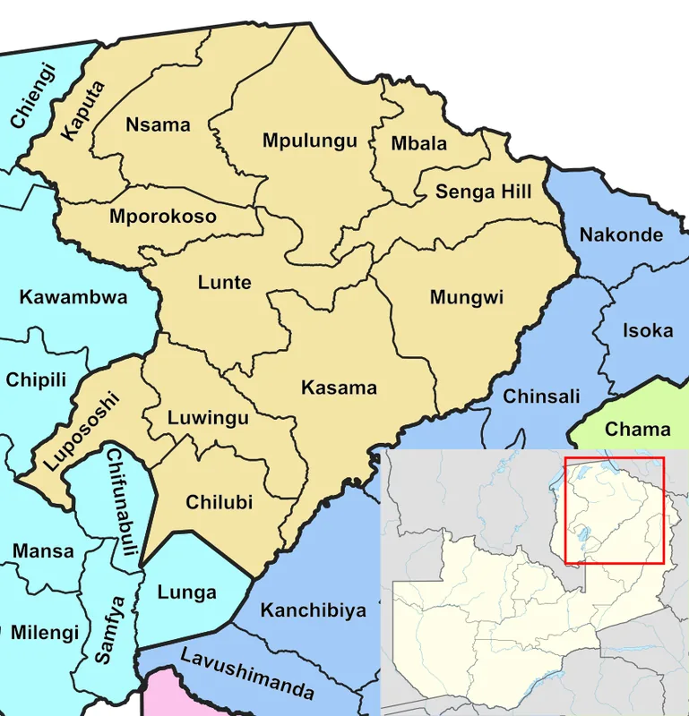
- The park borders the eastern edge of the Bangweulu Wetlands.
- It is a key sanctuary for the swamp-dwelling Sitatunga antelope.
- The area is administered as part of Zambia's Northern Province.
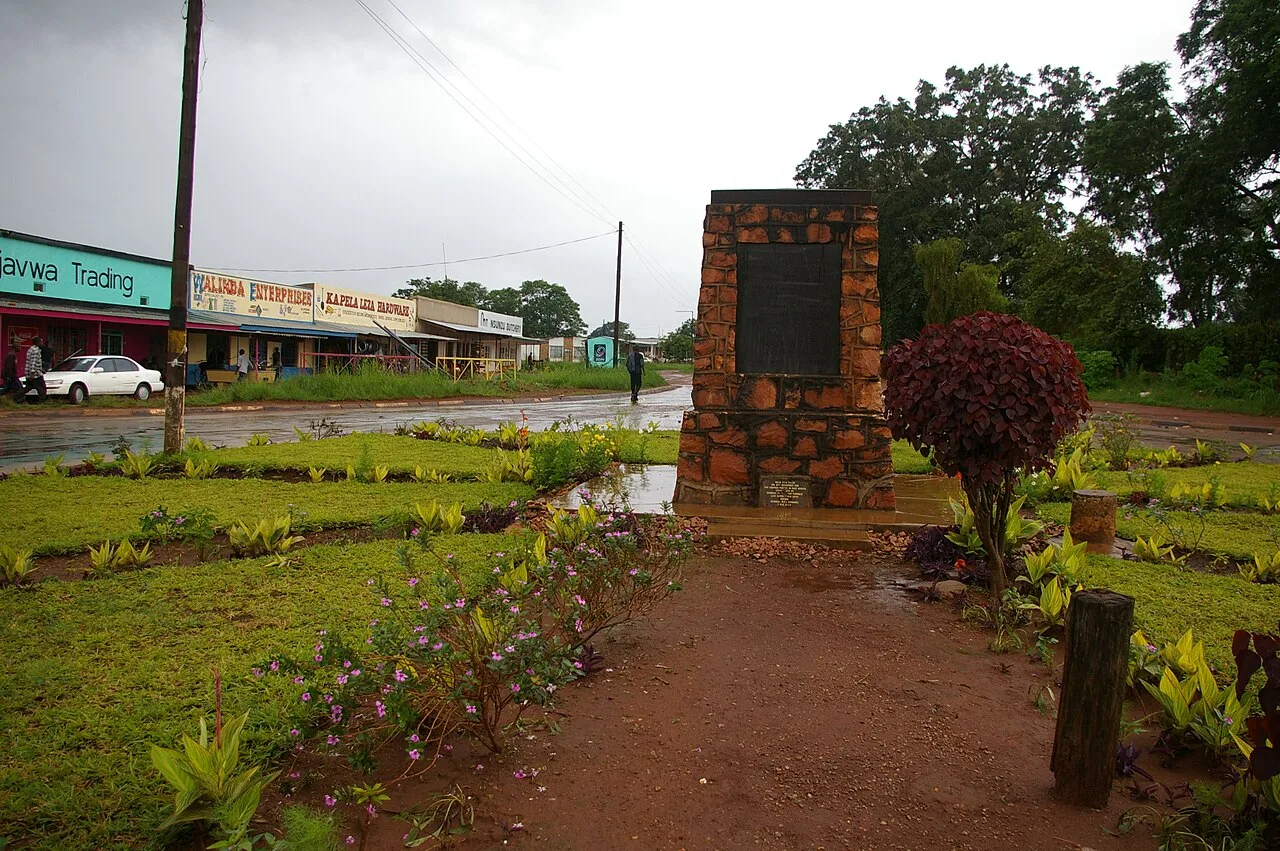
Explore nearby
Notable places around
Route planner — Car & Motorhome
Where do you start? We build the route here, with stops and country notes along the way.
© OpenStreetMap contributors · OpenRouteService
Sights nearby
Frequently asked questions
How demanding is Isangano National Park?
Are there health risks due to the weather?
Are there sanitary facilities in the park?
What is the best season?
Do you need to book a ranger?
Isangano National Park: where is it located?
Isangano National Park: when is the best time to visit?
Isangano National Park: why is it worth visiting?

Nearby cities

History & landmarks
More places