Plizio Visual Lab
Mporokoso
ℹ️Practical info — Mporokoso
▾
🌤 Weather — 5 days
📍 Nearby
Sights nearby
💡 Tips
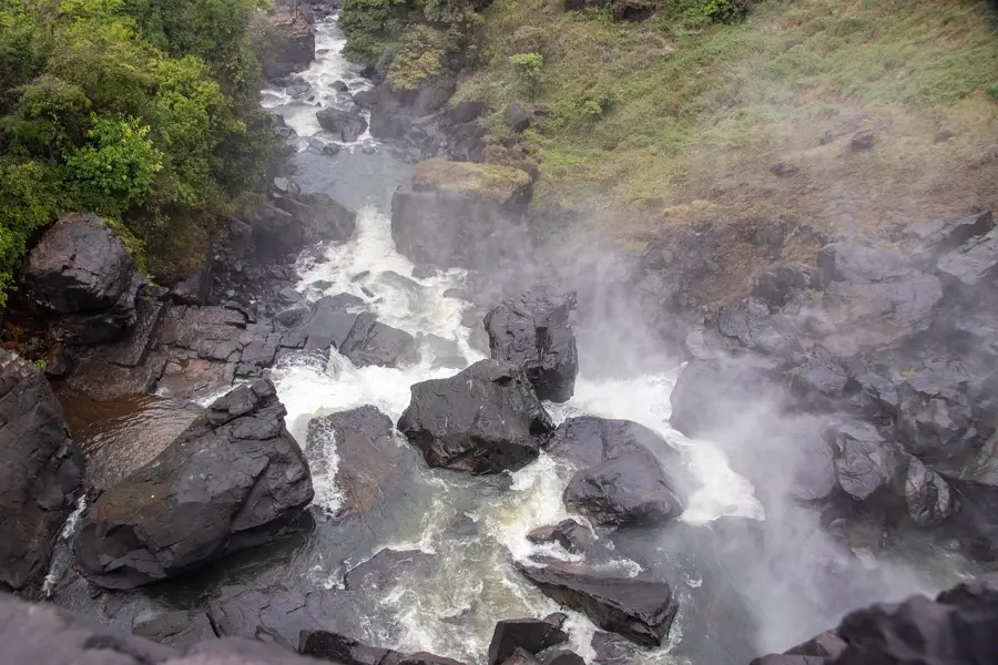
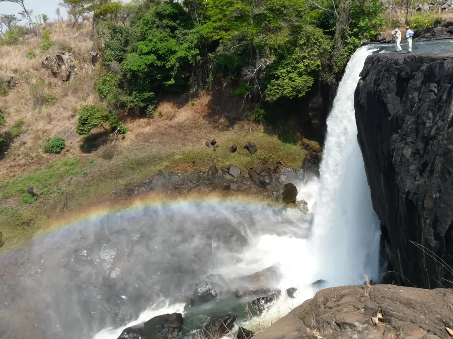
- Use Mporokoso as a base for exploring the spectacular Lumangwe and Kabweluma Falls.
- A 4x4 vehicle is essential for navigating the sandy tracks leading to the waterfalls.
- Try the local beans; Mporokoso is famous across Zambia for their superior quality.
- Visit between May and July to see the waterfalls at their most powerful after the rains.
- Ensure your vehicle is fully fueled before heading deeper into the Northern Province.
🍽 Food
Slow-cooked local beans, often paired with finger millet nshima.
A traditional fermented maize drink made using roots for a unique flavor.
Sourced from nearby lakes and typically prepared in a savory tomato stew.
🛍 Shopping · 🧘 Quiet spots
The best place to find organic forest honey and dried lake fish.
Purchase the famous Mporokoso beans directly from local farmers.
Located just 7km from town, a peaceful spot for a quiet picnic.
A more secluded waterfall that is almost always deserted and very quiet.
Water temperature…
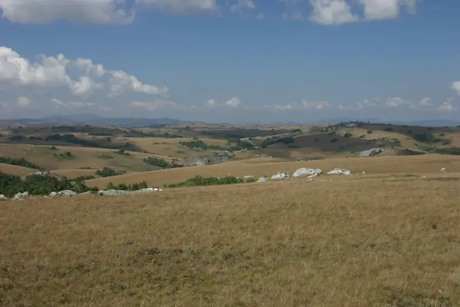
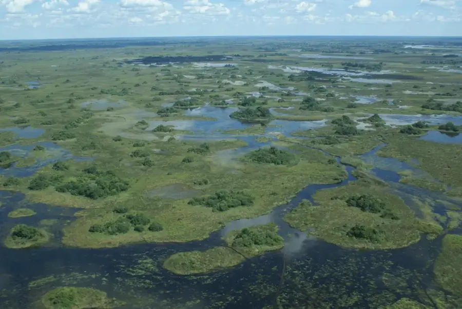
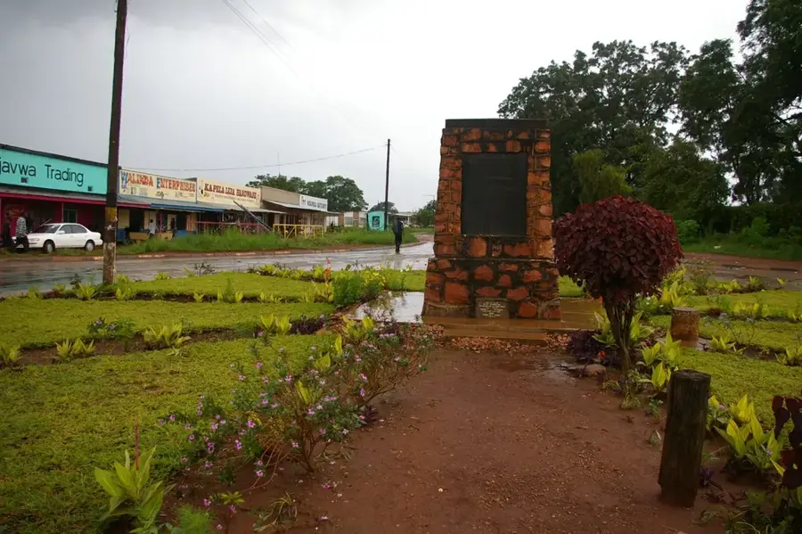
Mporokoso is a key administrative center in Zambia's Northern Province, situated in the heart of a water-rich and ecologically significant region. The town is widely recognized for its proximity to some of the country's most spectacular waterfalls, including the Lumangwe Falls and Kabweluma Falls on the Kalungwishi River. Geographically, the district spans a vast plateau intersected by numerous rivers and streams, which supports a bustling fishing and agricultural culture. The settlement serves as a marketplace for local produce, with cassava, maize, and millet being the staple food crops. Historically, Mporokoso is deeply connected to the Bemba people and serves as a seat for traditional chiefs who play a vital role in local governance and social order. The town's infrastructure has seen improvements in recent years, which has eased access to the region's diverse tourist attractions. The pristine natural environment surrounding Mporokoso makes it a potential hub for ecotourism in northern Zambia.
- Location: Zambia
- Nearby: Luwingu (90 km)
- Population: ~30.381 (2024)
Best time to visit & climate
The most pleasant time to visit is May, Aug, Sep.
| Jan | Feb | Mar | Apr | May | Jun | Jul | Aug | Sep | Oct | Nov | Dec | |
|---|---|---|---|---|---|---|---|---|---|---|---|---|
| Avg °C | 20 | 21 | 21 | 21 | 19 | 18 | 18 | 21 | 24 | 25 | 23 | 21 |
| Rain mm | 246 | 178 | 193 | 65 | 7 | 2 | 2 | 2 | 5 | 29 | 142 | 258 |
Geography
Facts
- Lumangwe Falls is often referred to as the 'Little Victoria Falls'.
- Mporokoso is located about 170 kilometers west of Kasama, the provincial capital.
- The town is situated at an elevation of approximately 1,400 meters above sea level.
- The Kalungwishi River forms the western boundary of the district.
- Mporokoso is a significant center for the cultivation of upland rice.
- The Bemba language is the dominant lingua franca spoken in the region.
Explore nearby
Notable places around
Route planner — Car & Motorhome
Where do you start? We build the route here, with stops and country notes along the way.
© OpenStreetMap contributors · OpenRouteService
Frequently asked questions
How long for Mporokoso?
When to visit?
How to get there?
Food?
Family-friendly?
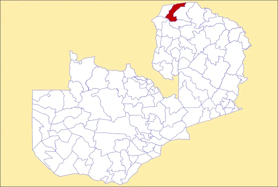
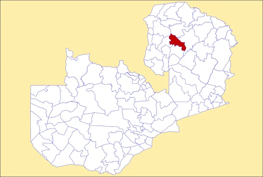
Mporokoso: where is it located?
Mporokoso: when is the best time to visit?
Mporokoso: why is it worth visiting?

Nearby cities
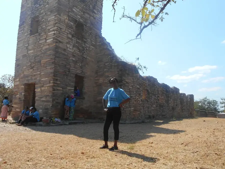
History & landmarks
Nature
More places