Plizio Visual Lab
Mutinondo Wilderness
Weather…
Water temperature…
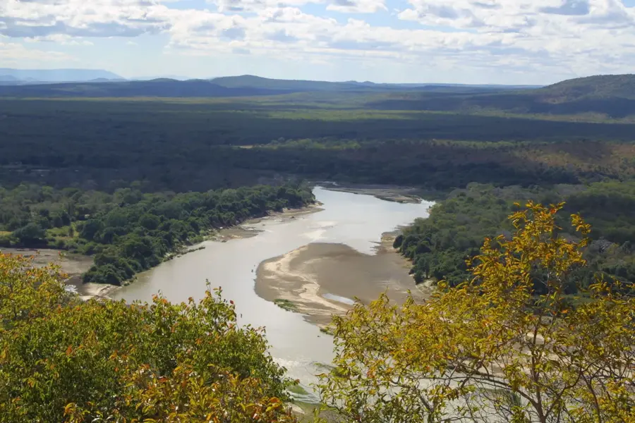
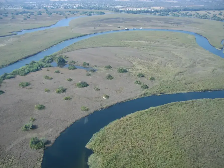
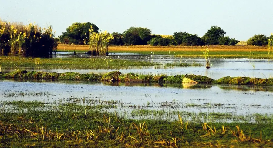
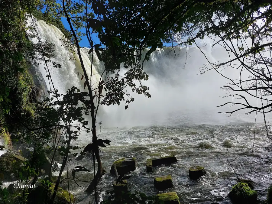
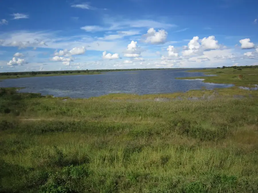
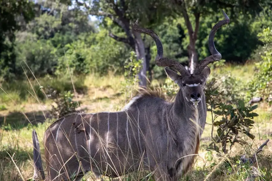
Mutinondo Wilderness is a private conservation area in Zambia's Muchinga Province, renowned for its extraordinary landscape of granite inselbergs. These massive formations, often called "whalebacks," rise dramatically from the surrounding Miombo woodlands and offer expansive views across the plateau. The area covers approximately 10,000 hectares and is traversed by the Mayinwa and Musamfushi rivers, which form numerous crystal-clear pools and small waterfalls. Geologically, the region belongs to the Bangweulu Block and consists of rocks that are over one billion years old. Since the establishment of the sanctuary in 1994, wildlife populations, including rare antelope species and an enormous variety of birds, have recovered significantly. Mutinondo Wilderness serves as an example of successful private conservation and has hikers unique terrain through pristine African savanna landscapes.
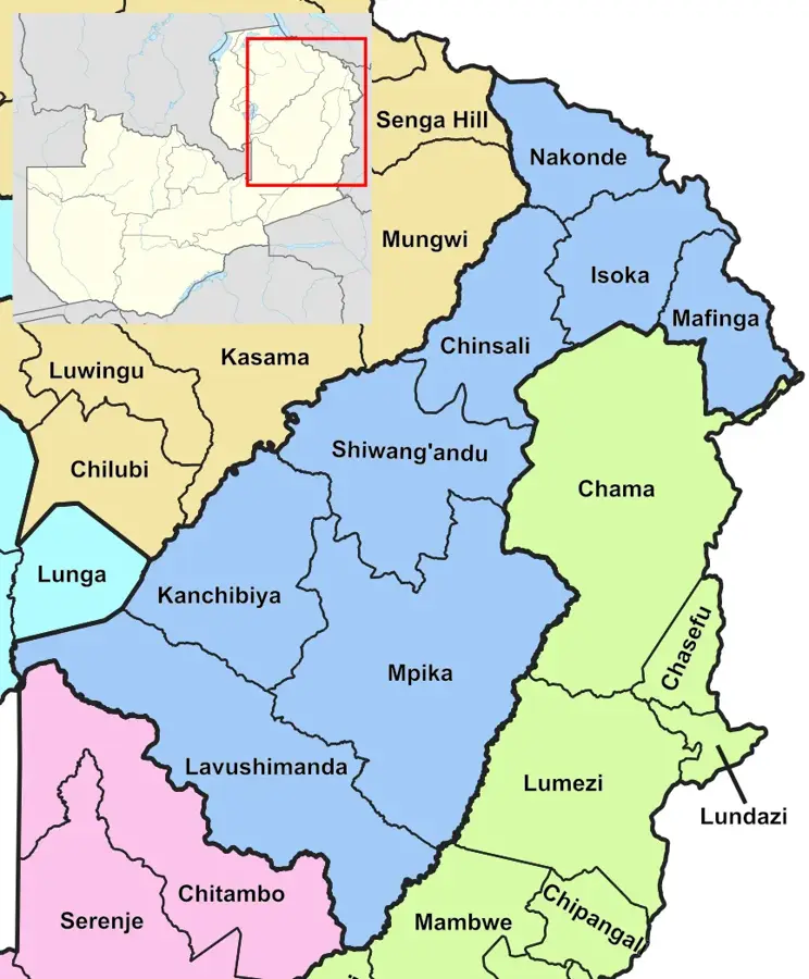
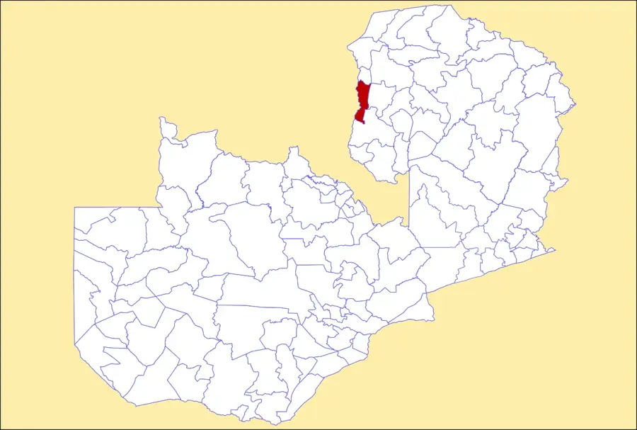
- Location: Zambia
- Nearby: Mpika (81 km)
Best time to visit & climate
The most pleasant time to visit is May, Aug, Sep.
| Jan | Feb | Mar | Apr | May | Jun | Jul | Aug | Sep | Oct | Nov | Dec | |
|---|---|---|---|---|---|---|---|---|---|---|---|---|
| Avg °C | 21 | 21 | 20 | 19 | 17 | 16 | 16 | 19 | 22 | 25 | 25 | 22 |
| Rain mm | 260 | 218 | 177 | 58 | 7 | 2 | 2 | 2 | 3 | 17 | 96 | 255 |
📋 Practical info
Geography
Facts
- The conservation area spans a total surface of 10,000 hectares.
- The granite rocks are part of the billion-year-old Bangweulu Block.
- The area was officially established as a private sanctuary in 1994.
- Over 330 different bird species have been documented in the wilderness.
- The average elevation of the area is approximately 1,450 metres.
- Several prehistoric rock paintings are located on the granite outcrops.
Explore nearby
Notable places around
Route planner — Car & Motorhome
Where do you start? We build the route here, with stops and country notes along the way.
© OpenStreetMap contributors · OpenRouteService
Sights nearby
Frequently asked questions
How difficult are the hiking trails in Mutinondo-Wildness?
What is the best time of year to visit?
Are there restroom facilities on-site?
Is parking available directly at the entrance?
Should one expect dangerous weather?
Mutinondo Wilderness: where is it located?
Mutinondo Wilderness: when is the best time to visit?
Mutinondo Wilderness: why is it worth visiting?

Nearby cities


History & landmarks
Nature

More places