Plizio Visual Lab
Luangwa Headwaters
Weather…
Water temperature…
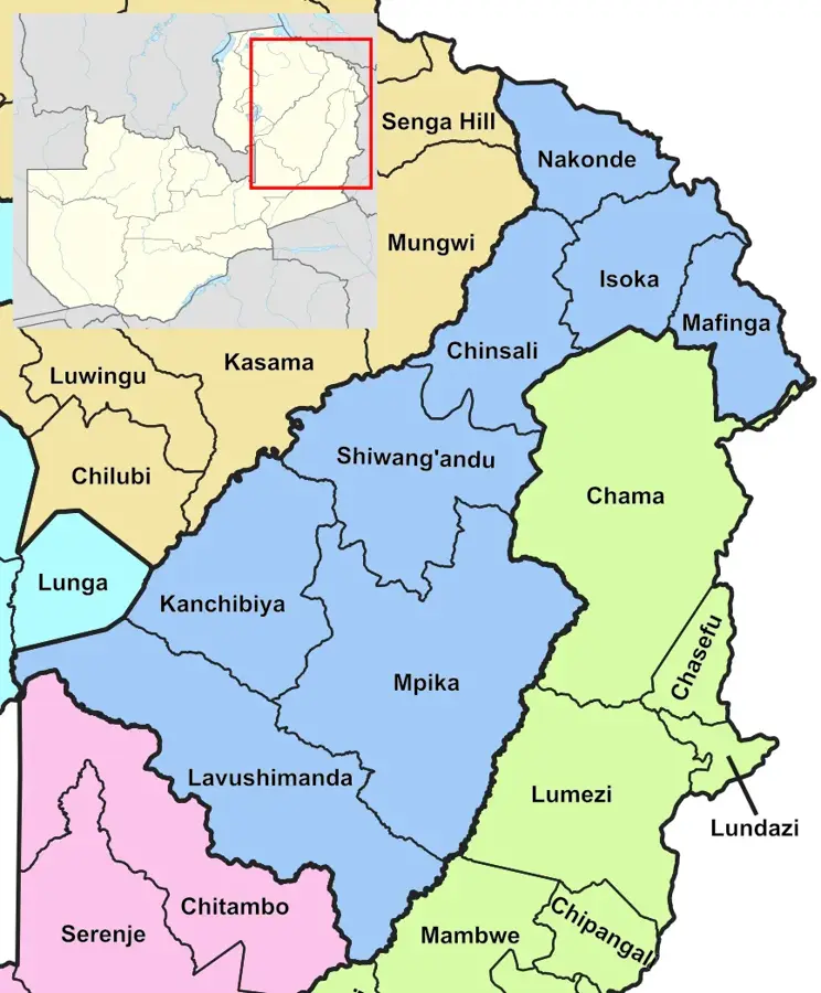
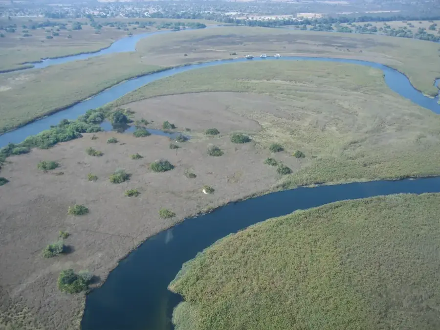
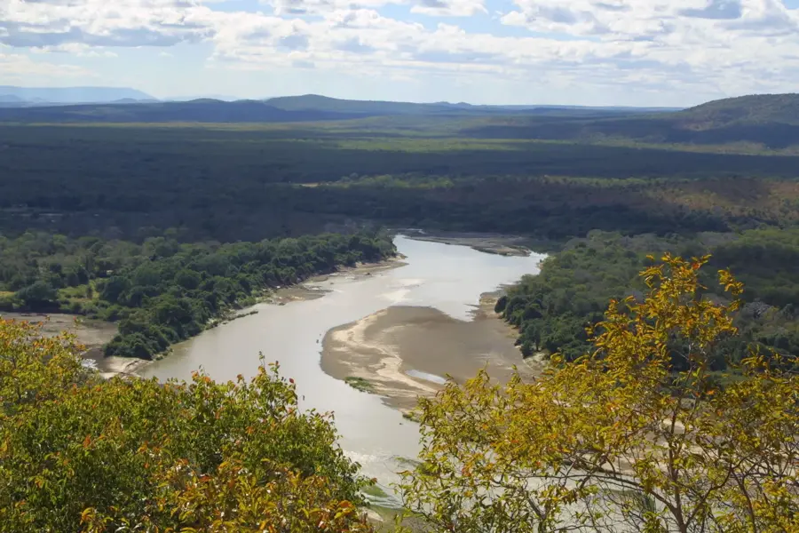
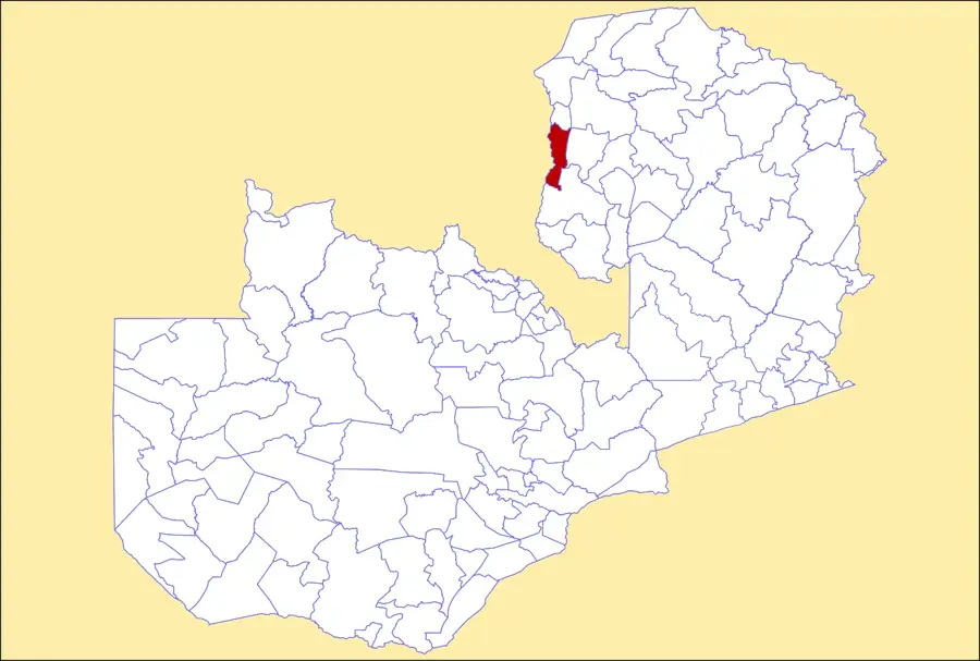
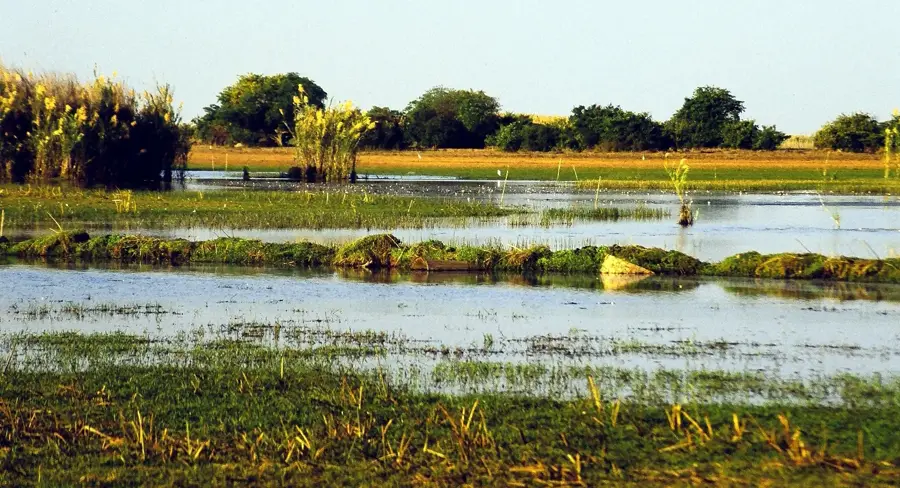
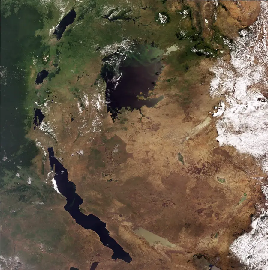
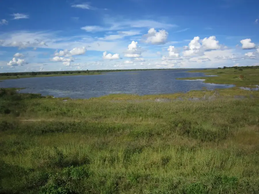
The headwaters of the Luangwa River are located in the Mafinga Hills in the remote northeastern corner of Zambia, near the border with Malawi. Originating at an altitude of approximately 1,500 meters, this is the starting point of one of Africa's most significant and pristine river systems. The source region is defined by rugged hills and dense montane forests that play a crucial role in water catchment for the entire province. From here, the Luangwa flows for 770 kilometers in a southwestern direction until it reaches its confluence with the Zambezi River. Unlike many other major African rivers, the Luangwa remains largely unregulated by large-scale dams, allowing it to maintain its natural, wild character. This lack of intervention makes it one of the most dynamic river systems globally, with seasonal floods sustaining the fertile floodplains of the North and South Luangwa National Parks. The headwater region is sparsely populated and serves as a vital watershed whose preservation is essential for the ecological health of the entire Luangwa Valley.
- Location: Zambia
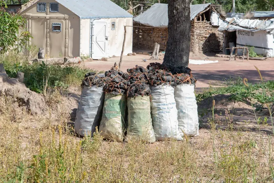
- Nearby: Isoka (21 km)
Best time to visit & climate
The most pleasant time to visit is May, Aug, Sep.
| Jan | Feb | Mar | Apr | May | Jun | Jul | Aug | Sep | Oct | Nov | Dec | |
|---|---|---|---|---|---|---|---|---|---|---|---|---|
| Avg °C | 21 | 21 | 21 | 20 | 19 | 17 | 17 | 19 | 22 | 25 | 25 | 22 |
| Rain mm | 268 | 197 | 184 | 68 | 14 | 7 | 4 | 3 | 3 | 17 | 83 | 237 |
📋 Practical info
Geography
Facts
- Originates in the Mafinga Hills at about 1,500m elevation
- The river flows for a total distance of 770 kilometers
- One of Africa's largest unregulated river systems (no dams)
- Sustains the famous North and South Luangwa National Parks
- Joins the Zambezi River at the town of Luangwa
- The headwaters serve as a critical watershed near Malawi border
Explore nearby
Notable places around
Route planner — Car & Motorhome
Where do you start? We build the route here, with stops and country notes along the way.
© OpenStreetMap contributors · OpenRouteService
Sights nearby
Frequently asked questions
How demanding is hiking in the headwaters region?
When is the best time for a hike?
Is a permit required?
Is there accommodation available?
How is the weather?
Luangwa Headwaters: where is it located?
Luangwa Headwaters: when is the best time to visit?
Luangwa Headwaters: why is it worth visiting?

Nearby cities


History & landmarks
Nature

More places