Plizio Visual Lab
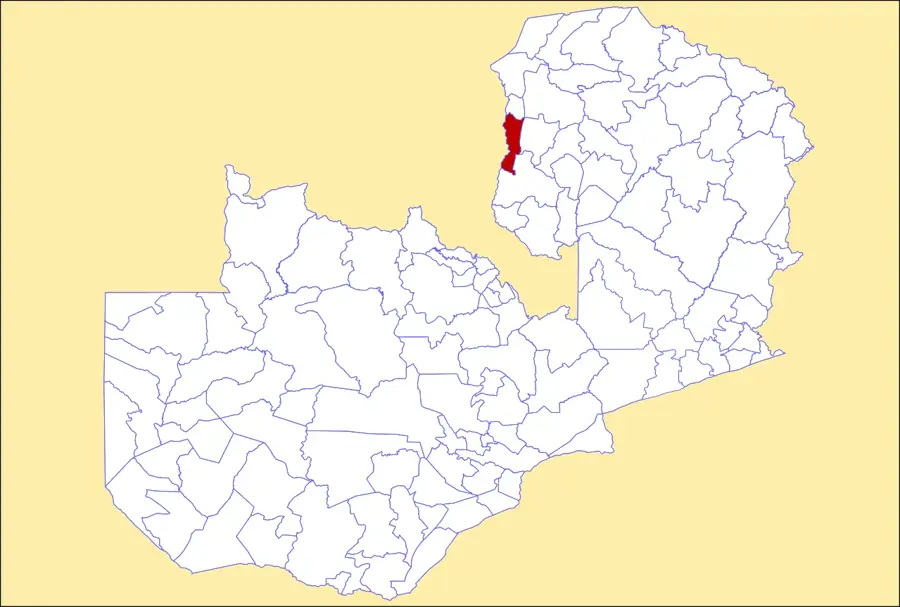
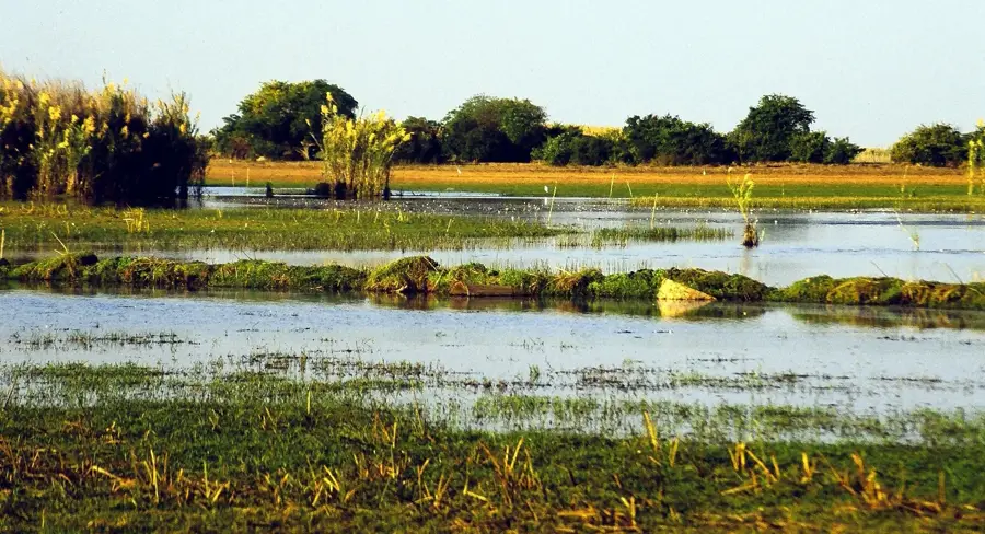
Luangwa Swamps
Weather…
Water temperature…
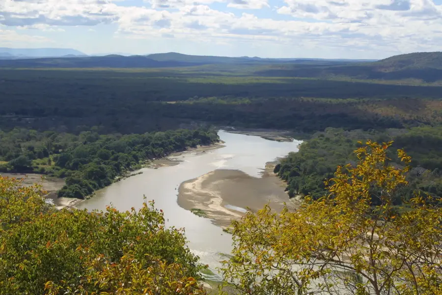
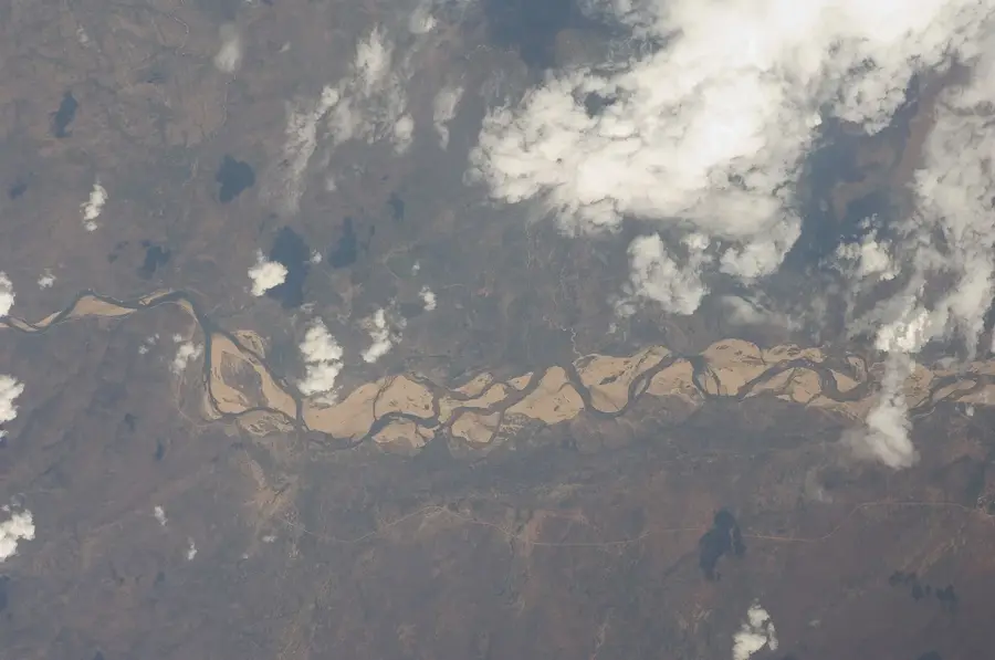
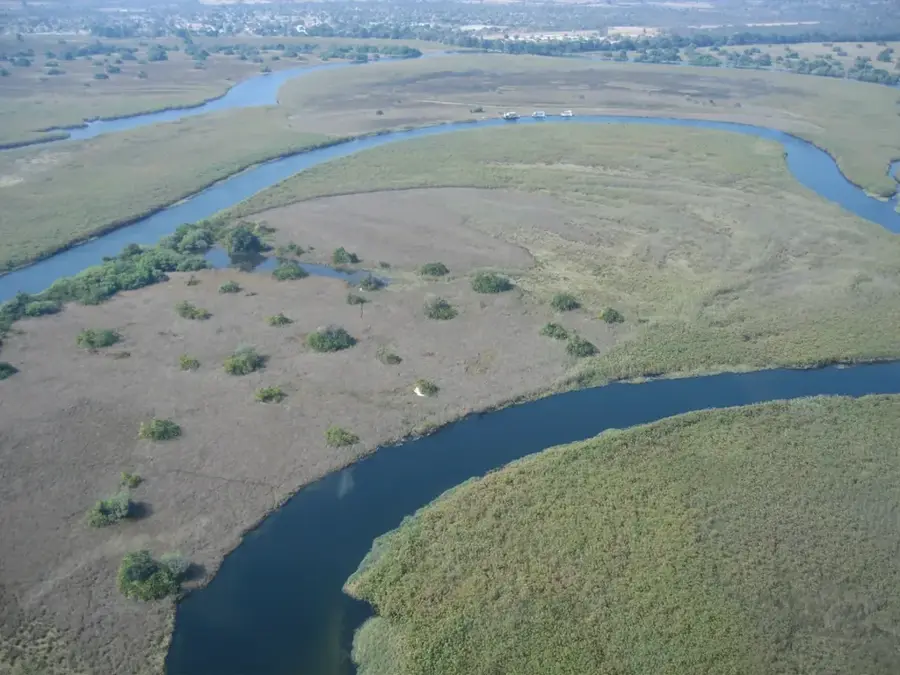
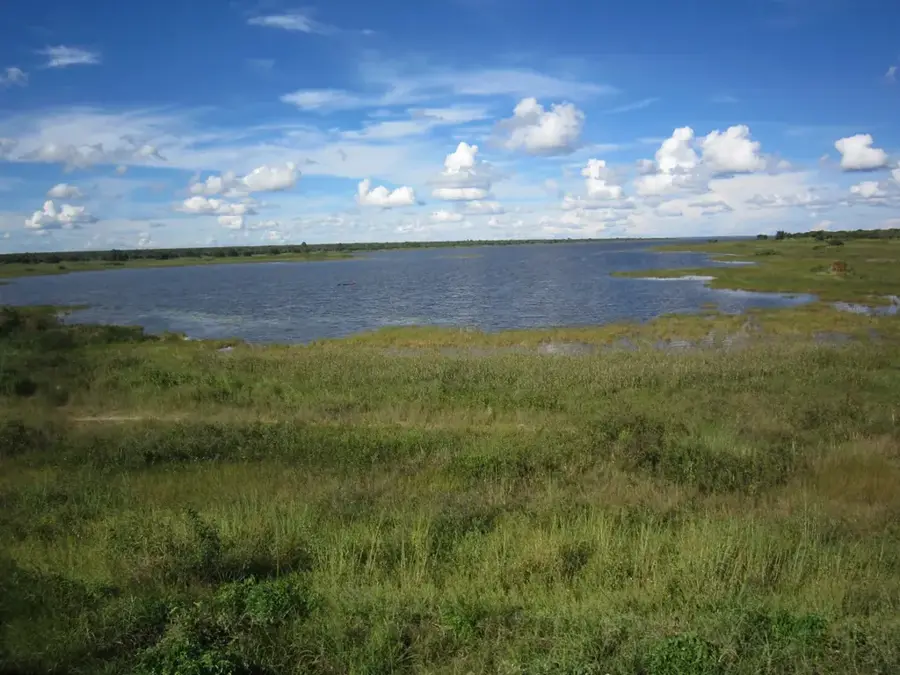
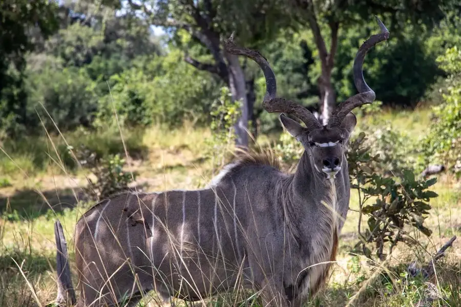
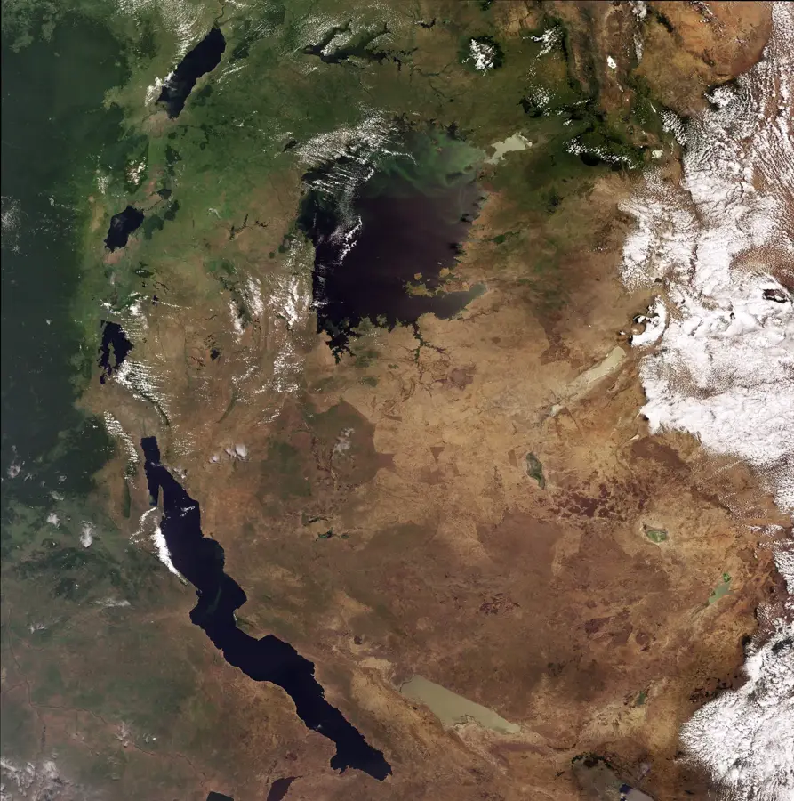
The Luangwa Swamps are a dynamic network of seasonal wetlands and oxbow lakes located along the middle and upper reaches of the Luangwa River in eastern Zambia. These swamps form annually during the rainy season when the river exceeds its banks, saturating the clay-rich soils of the valley floor and creating vast temporary marshes. Geographically, they are a vital component of the Luangwa Rift Valley ecosystem, acting as natural sponges that regulate water flow throughout the year. The vegetation is characterized by dense reed beds, papyrus, and flood-tolerant grasses that provide essential grazing for large herbivores like puku and hippopotamus. Historically, the area has remained sparsely populated due to its periodic flooding and prevalence of waterborne diseases, which has inadvertently helped preserve its pristine state. Today, the swamps are recognized for their immense biodiversity and their role as a critical breeding ground for numerous fish species and migratory birds. They remain a cornerstone of Zambia's natural heritage, supporting complex food webs within the surrounding national parks.
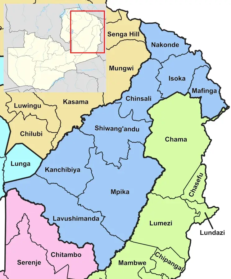
- Location: Zambia
- Nearby: Mpika (17 km)
Best time to visit & climate
The most pleasant time to visit is Aug–Oct.
| Jan | Feb | Mar | Apr | May | Jun | Jul | Aug | Sep | Oct | Nov | Dec | |
|---|---|---|---|---|---|---|---|---|---|---|---|---|
| Avg °C | 20 | 20 | 20 | 19 | 17 | 15 | 15 | 18 | 21 | 24 | 24 | 21 |
| Rain mm | 281 | 240 | 206 | 67 | 8 | 3 | 2 | 2 | 4 | 20 | 116 | 277 |
📋 Practical info
Geography
Facts
- The swamps are part of the broader 700-kilometer-long Luangwa Valley system.
- Seasonal flooding can raise the river's water level by up to 5 meters.
- The area supports one of the highest concentrations of hippos in Africa.
- Alluvial clay soils in the valley help maintain surface water for months.
- More than 400 species of birds have been recorded in these wetlands.
- The swamps act as a crucial hydrological buffer for the Zambezi River basin.
Explore nearby
Notable places around
Route planner — Car & Motorhome
Where do you start? We build the route here, with stops and country notes along the way.
© OpenStreetMap contributors · OpenRouteService
Sights nearby
Frequently asked questions
Are the Luangwa Swamps accessible?
Is the swamp area dangerous?
Can I camp there?
When should one travel there?
Is there parking there?
Luangwa Swamps: where is it located?
Luangwa Swamps: when is the best time to visit?
Luangwa Swamps: why is it worth visiting?

Nearby cities


History & landmarks
Nature

More places