Plizio Visual Lab
Lake Malawi region
Weather…
Water temperature…
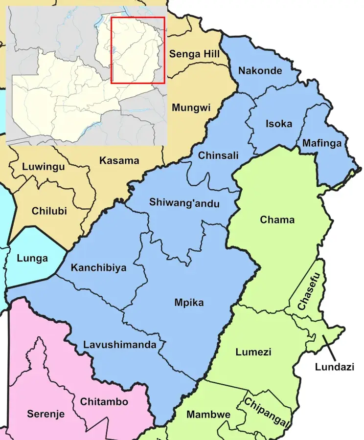
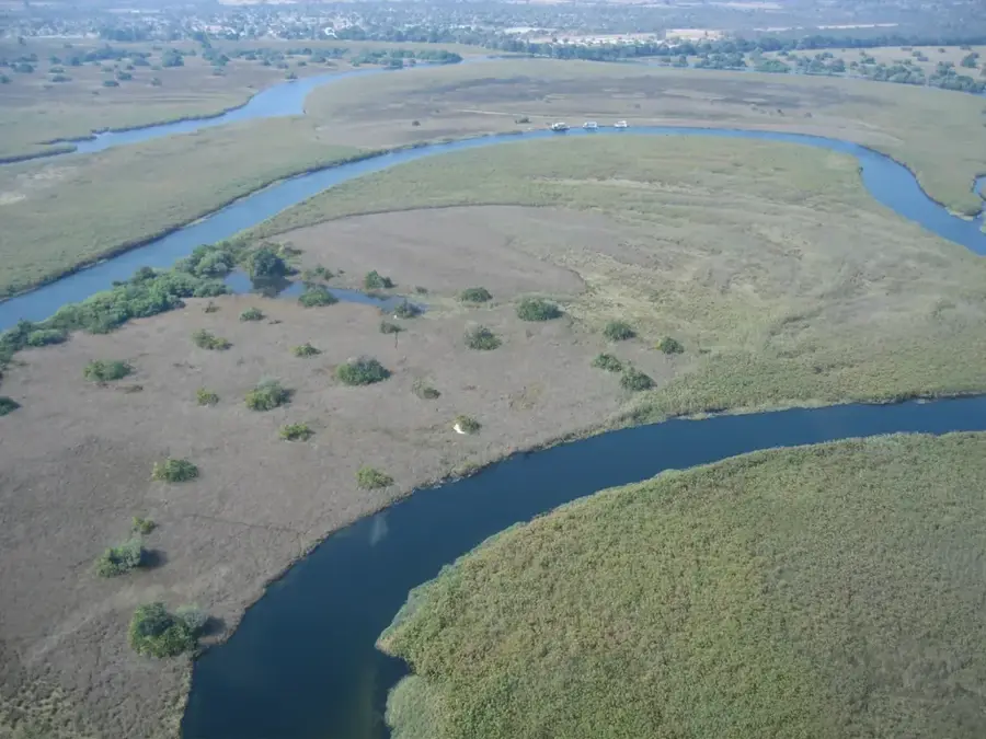
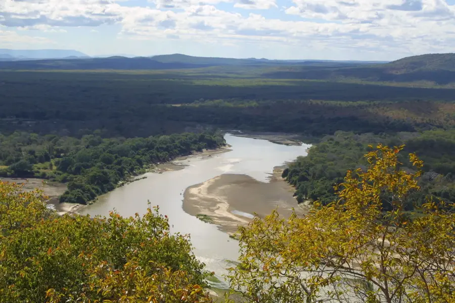
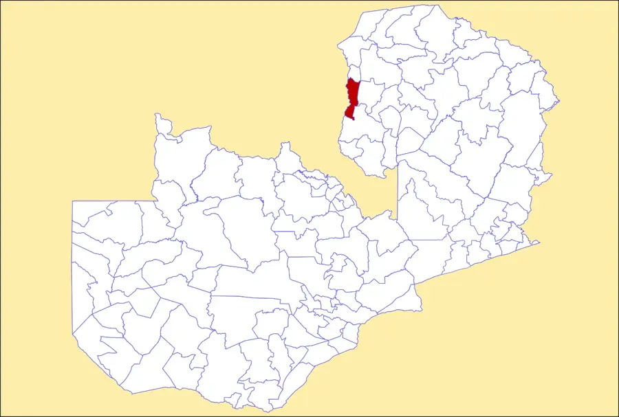
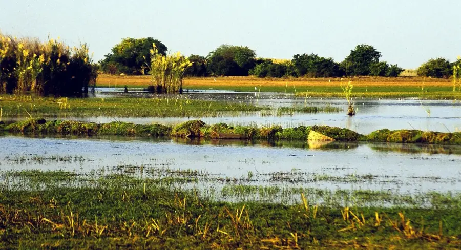
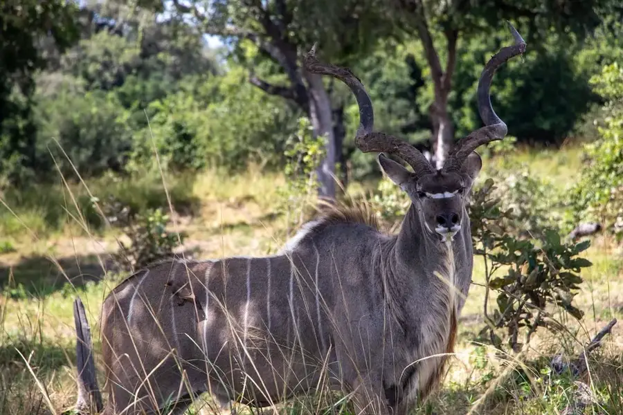
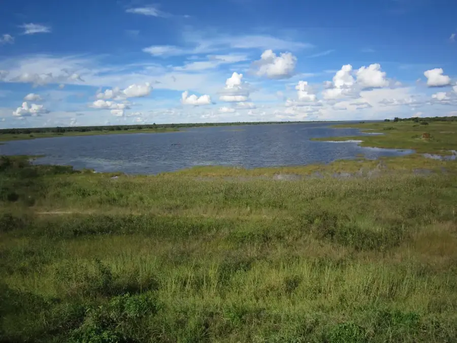
The Lake Malawi region, from a Zambian perspective, refers to the eastern borderlands that are geologically and ecologically intertwined with the Lake Malawi basin. Although Zambia does not have a direct shoreline on the lake, the Eastern Province's landscape is profoundly influenced by the proximity of the Great Rift Valley and its associated highlands. The defining feature of this region is the Nyika Plateau, a transboundary mountain range shared with Malawi that rises to over 2,000 meters. This highland area consists of rolling montane grasslands interspersed with evergreen forest patches, creating a scenery that is unique within the Zambian territory. The plateau is a biodiversity hotspot, famous for its high concentration of wild orchids and large herds of eland and roan antelope. Climatically, the region acts as a cool refuge, receiving significantly higher rainfall than the low-lying Luangwa Valley to the west. Historically, these borderlands have facilitated trade and migration between the interior of Zambia and the lake's coastal communities. Cultural ties remain strong, with the Nyanja language serving as a common link across the border. Today, international cooperation centers on the Nyika Transfrontier Conservation Area, aimed at preserving this vital watershed and its endemic species.
- Location: Zambia
- Nearby: Lundazi (41 km)
Best time to visit & climate
The most pleasant time to visit is May, Aug, Sep.
| Jan | Feb | Mar | Apr | May | Jun | Jul | Aug | Sep | Oct | Nov | Dec | |
|---|---|---|---|---|---|---|---|---|---|---|---|---|
| Avg °C | 22 | 22 | 22 | 20 | 19 | 17 | 17 | 19 | 21 | 24 | 25 | 23 |
| Rain mm | 300 | 235 | 214 | 86 | 15 | 5 | 5 | 3 | 4 | 16 | 80 | 240 |
📋 Practical info
Geography
Facts
- The Nyika Plateau's Zambian section covers approximately 80 sq km.
- It is home to over 200 species of orchids, many of which are endemic.
- Temperatures on the plateau can drop below freezing during winter nights.
- The Nyika National Park is Zambia's only truly montane national park.
- The region forms a vital catchment area for the Shire River system.
- Large herds of over 300 eland can be seen grazing on the grasslands.
Explore nearby
Notable places around
Route planner — Car & Motorhome
Where do you start? We build the route here, with stops and country notes along the way.
© OpenStreetMap contributors · OpenRouteService
Sights nearby
Frequently asked questions
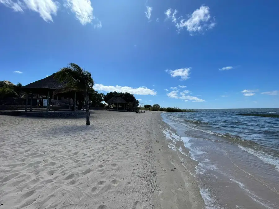
What does the Lake Malawi edge in Zambia offer?
Is swimming safe there?
Is the snorkeling good there?
Are there campsites there?
Do you need a visa for crossing the border?
Lake Malawi region: where is it located?
Lake Malawi region: when is the best time to visit?
Lake Malawi region: why is it worth visiting?

Nearby cities

History & landmarks
Nature

More places