Plizio Visual Lab
Mansa

ℹ️Practical info — Mansa
▾
🌤 Weather — 5 days
📍 Nearby
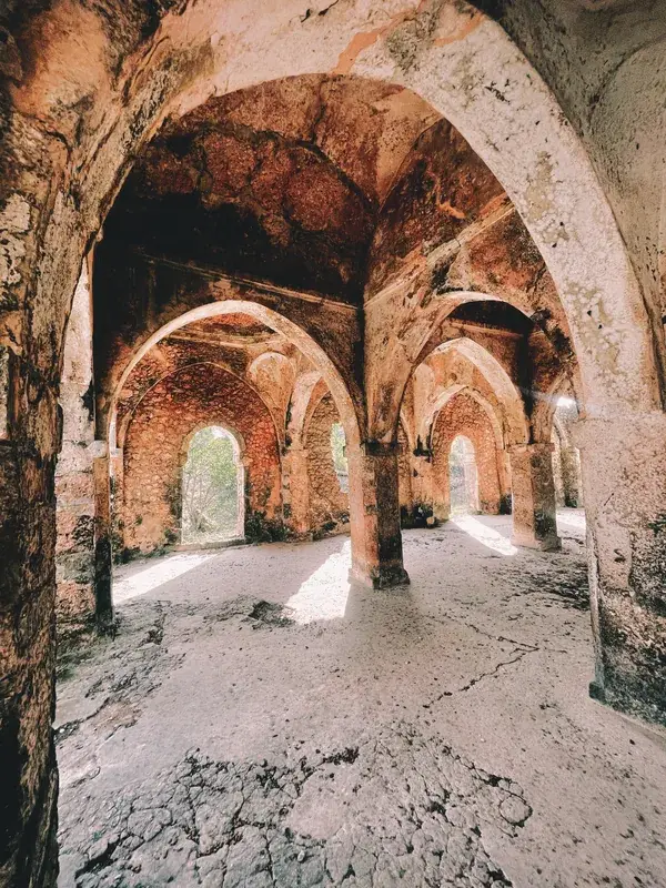
Sights nearby
💡 Tips
- Taxis are the most convenient way to get around the city, but always agree on the fare before starting your journey.
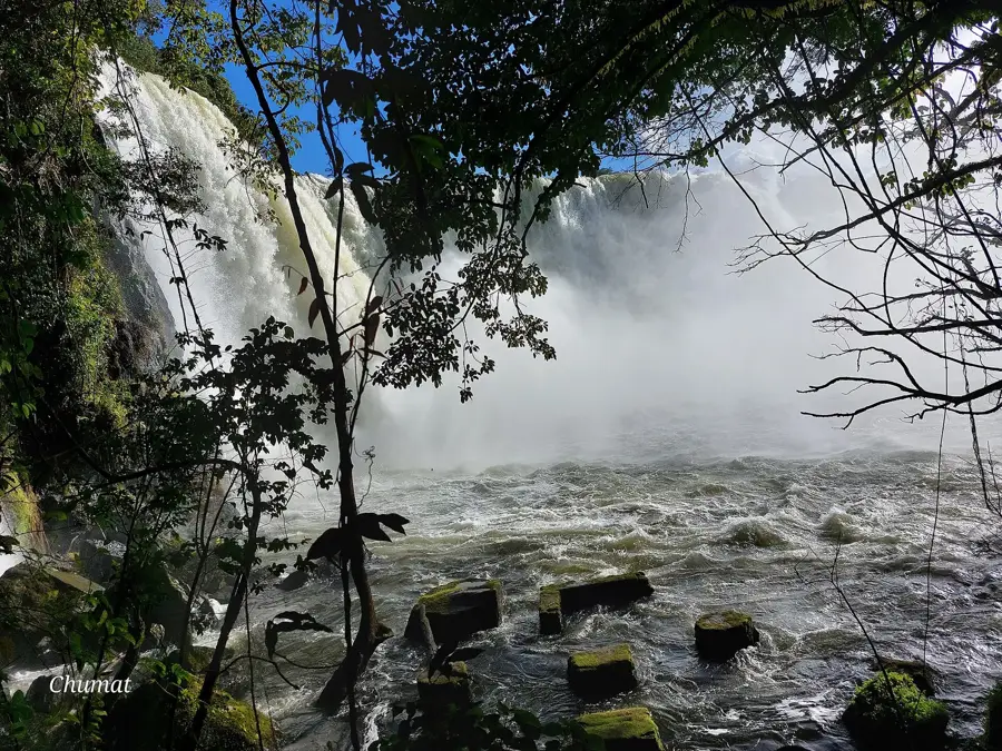
- Mansa is a great base for visiting the impressive Musonda Falls and Mumbuluma Falls, so consider hiring a local guide or driver.
- Cash is king here; ensure you carry enough Zambian Kwacha, as card machines may be unreliable outside major hotels or supermarkets.
- The weather is generally warm, but evenings can get cool during the dry season (May to August), so pack a light jacket.
🍽 Food
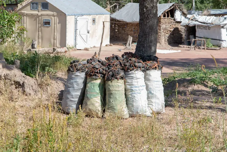
Try the staple maize porridge (nshima) paired with fresh bream fish caught from the nearby Luapula River at local eateries.
A traditional dish of peanuts and leafy greens, usually served alongside nshima in traditional restaurants.
These small, fried dried fish are a local delicacy, well-suited as a snack or a side dish.
🛍 Shopping · 🧘 Quiet spots
Buy colorful, locally printed fabrics at the central market to have custom clothing made or use as a wrap.
Local markets offer beautiful, hand-woven baskets and crafts made by regional artisans.
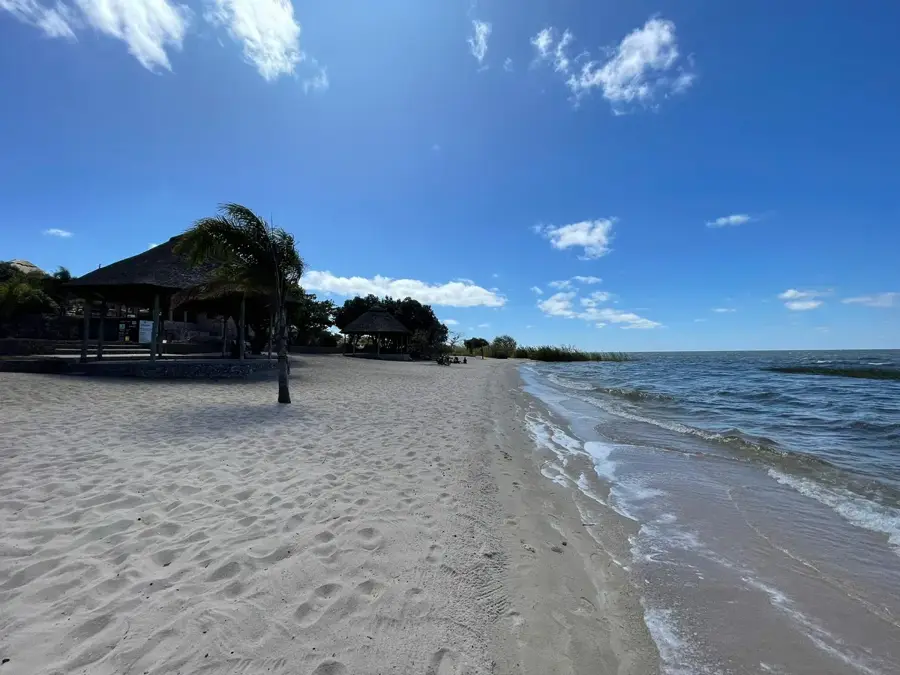
Take a quiet stroll along the Mansa River for birdwatching and enjoying the tranquil natural scenery.
Many of the established lodges on the outskirts have lush, well-kept gardens where you can relax with a drink.
Water temperature…
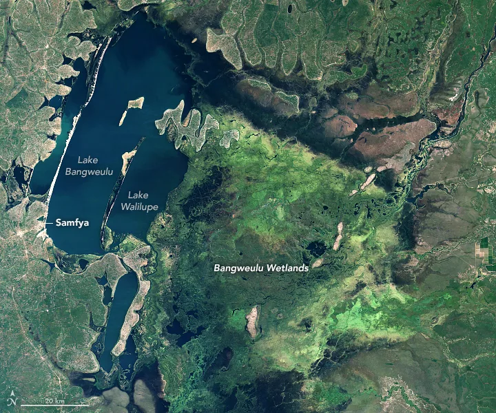
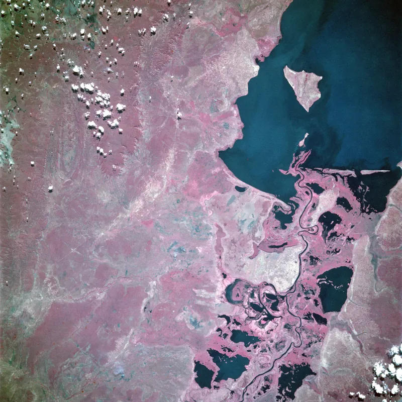
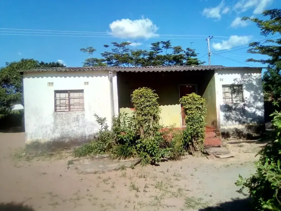
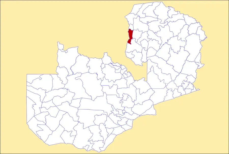
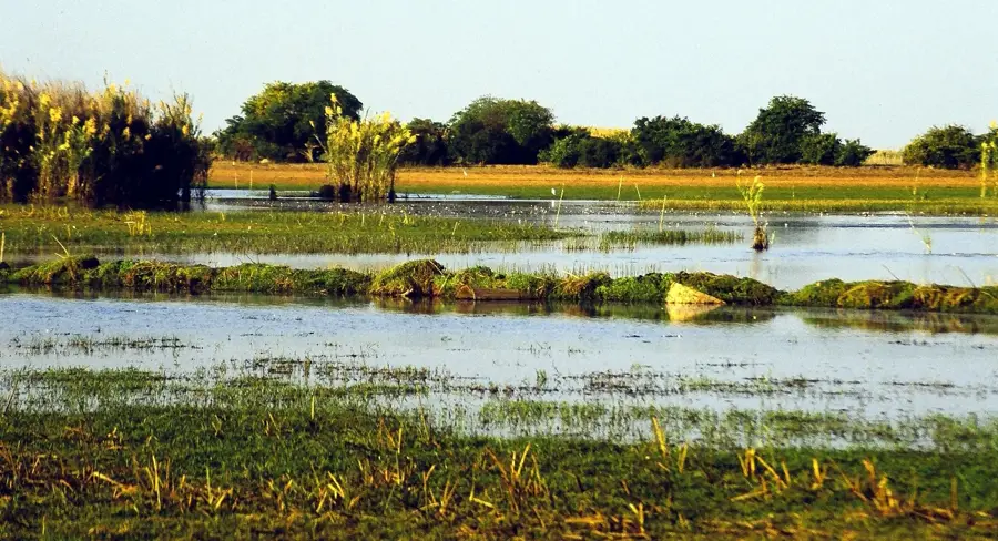
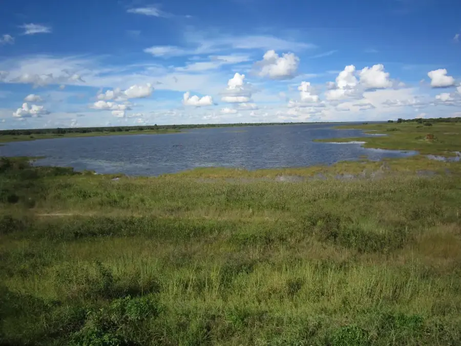
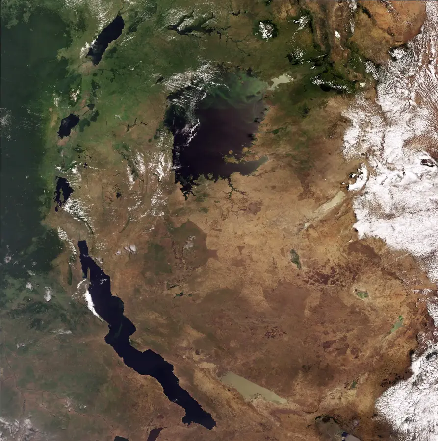
Mansa, formerly known as Fort Rosebery during the colonial era, is the capital of Luapula Province in northern Zambia. Positioned on a plateau between the Luapula River and Lake Bangweulu, it functions as a vital commercial and administrative hub. Mansa is the primary center for manganese mining in Zambia, a sector that has driven steady economic development in the city in recent years. Geographically, the surrounding region is defined by numerous waterways and wetlands, which are essential for the local fishing and agricultural industries. Nearby, the Mumbuluma Falls serve as a popular scenic attraction for both residents and tourists. Mansa plays a strategic role in cross-border trade with the Democratic Republic of the Congo. Beyond mining, the local economy relies on the cultivation of cassava and maize, as well as fishing in the nearby Bangweulu basin. The town is a significant stop along the Luapula Road, connecting the northern regions to the Copperbelt. Mansa is also an educational and health center, hosting a teacher training college and a major general hospital.
- Location: Zambia
- Nearby: Samfya (75 km)
- Population: ~170.965 (2026)
Best time to visit & climate
The most pleasant time to visit is Apr, May, Aug.
| Jan | Feb | Mar | Apr | May | Jun | Jul | Aug | Sep | Oct | Nov | Dec | |
|---|---|---|---|---|---|---|---|---|---|---|---|---|
| Avg °C | 21 | 22 | 22 | 21 | 20 | 18 | 18 | 21 | 24 | 27 | 25 | 22 |
| Rain mm | 229 | 178 | 155 | 49 | 4 | 1 | 0 | 1 | 1 | 23 | 132 | 260 |
Geography
Facts
- Provincial capital of Luapula.
- Named Fort Rosebery until independence in 1964.
- Zambia's primary hub for manganese mining.
- Located near the scenic Mumbuluma Falls.
- Strategic location near the DR Congo border.
- Key regional service center with a major hospital.
Explore nearby
Notable places around
Route planner — Car & Motorhome
Where do you start? We build the route here, with stops and country notes along the way.
© OpenStreetMap contributors · OpenRouteService
Sights in the town Mansa (1)
Frequently asked questions
What kind of place is Mansa?
Are there bodies of water nearby?
How to get there?
Are there tourist facilities there?
When is it best to visit?
Mansa: where is it located?
Mansa: when is the best time to visit?
Mansa: why is it worth visiting?

Nearby cities

History & landmarks
Nature

More places