Plizio Visual Lab
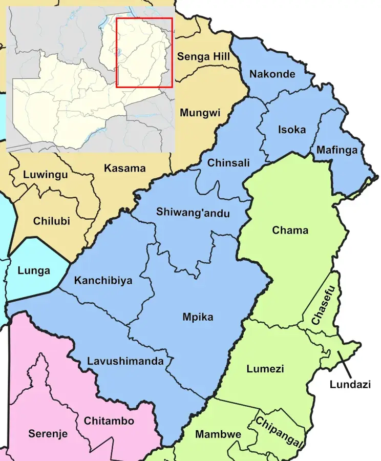
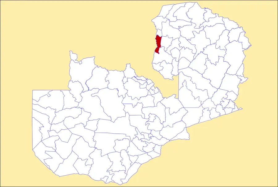
Chambeshi River
Weather…
Water temperature…
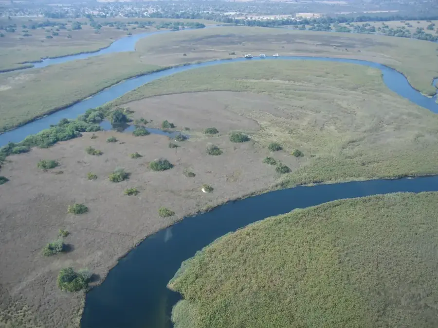
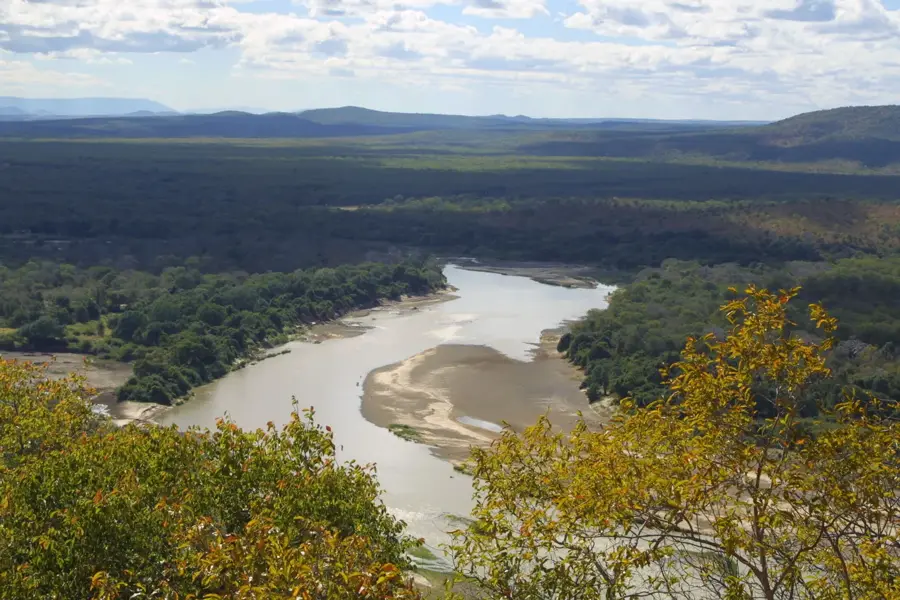
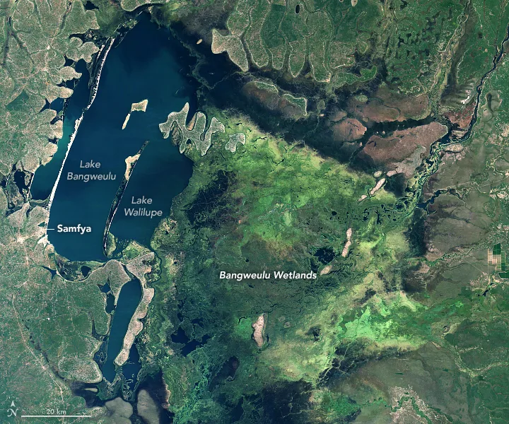
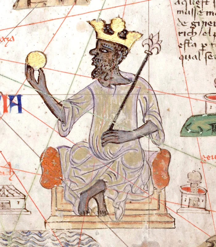
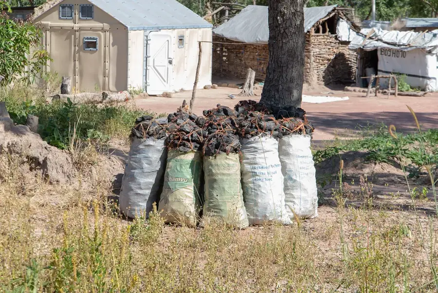
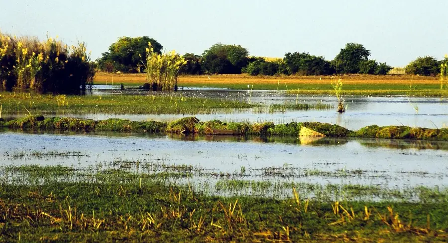
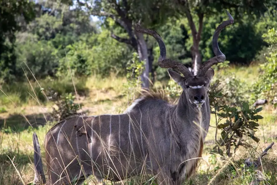
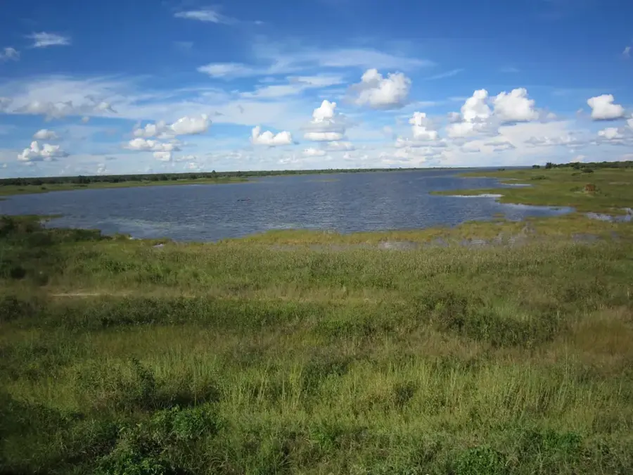
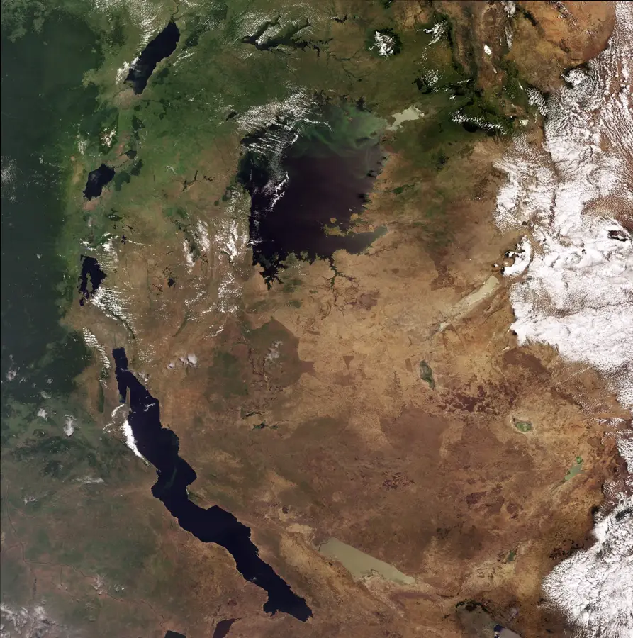
The Chambeshi River in northeastern Zambia is geographically significant as the remotest source of the mighty Congo River. It rises in the mountains near Lake Tanganyika at an elevation of about 1,760 meters and flows for approximately 480 kilometers in a southwesterly direction. The river terminates in the expansive Bangweulu Swamps, from which the waters eventually emerge as the Luapula River. The Chambeshi is characterized by its gentle gradient, creating wide meanders and seasonal floodplains that are vital for local fishing and traditional rice cultivation. Historically, the river gained global prominence at the end of World War I; it was at the Chambeshi bridge that German General Paul von Lettow-Vorbeck received news of the armistice in Europe, marking the final end of hostilities on the African continent in November 1918. The surrounding landscape consists primarily of pristine Miombo woodlands and dambo wetlands, hosting a variety of bird species and aquatic wildlife. As the primary feeder of the Bangweulu ecosystem, the river is crucial for the survival of rare species like the Shoebill stork and the Black Lechwe. Conservation of the Chambeshi is essential for maintaining the hydrological health of the entire upper Congo basin.
- Location: Zambia
- Nearby: Kasama (45 km)
Best time to visit & climate
The most pleasant time to visit is May, Aug, Sep.
| Jan | Feb | Mar | Apr | May | Jun | Jul | Aug | Sep | Oct | Nov | Dec | |
|---|---|---|---|---|---|---|---|---|---|---|---|---|
| Avg °C | 21 | 21 | 21 | 21 | 19 | 17 | 17 | 20 | 23 | 26 | 25 | 22 |
| Rain mm | 257 | 191 | 164 | 45 | 6 | 2 | 1 | 1 | 2 | 15 | 102 | 234 |
📋 Practical info
Geography
Facts
- The Chambeshi is recognized as the ultimate source of the Congo River.
- The river flows for 480 km before reaching the Bangweulu Swamps.
- The WWI hostilities in Africa ended at the Chambeshi River in 1918.
- It provides the primary water inflow for the Bangweulu wetland system.
- The river's elevation drops about 600 meters from source to swamp.
- Local fishermen rely on the river for over 40 species of freshwater fish.
Explore nearby
Notable places around
Route planner — Car & Motorhome
Where do you start? We build the route here, with stops and country notes along the way.
© OpenStreetMap contributors · OpenRouteService
Sights nearby
Frequently asked questions
Is the Chambeshi River suitable for boat trips?
Which animals are seen on the shore?
Is the water clean?
Are there tourist accommodations there?
Which is the best month to visit?
Chambeshi River: where is it located?
Chambeshi River: when is the best time to visit?
Chambeshi River: why is it worth visiting?

Nearby cities

History & landmarks
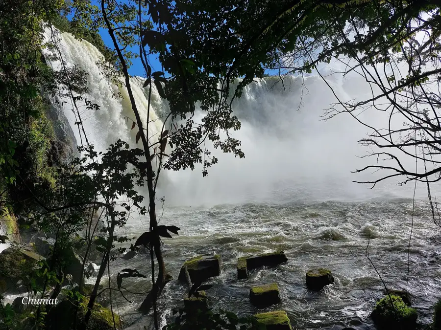
Nature

More places