Plizio Visual Lab
Muchinga Mountains
Weather…
Water temperature…
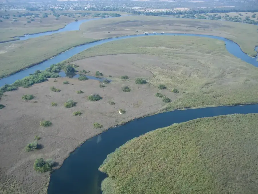
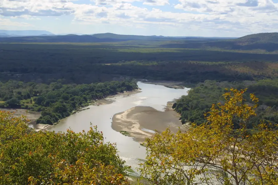
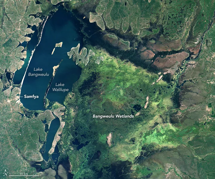
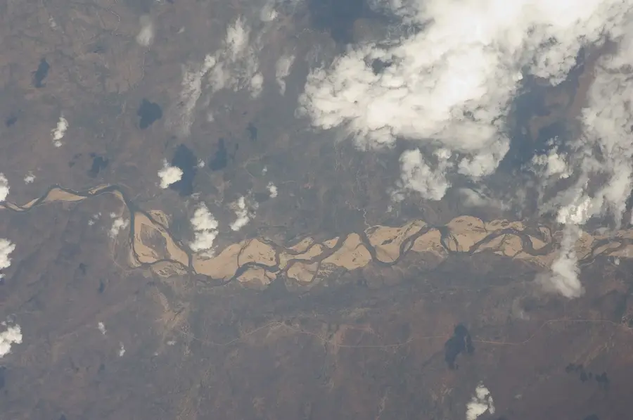
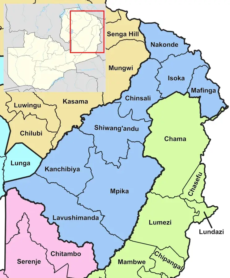
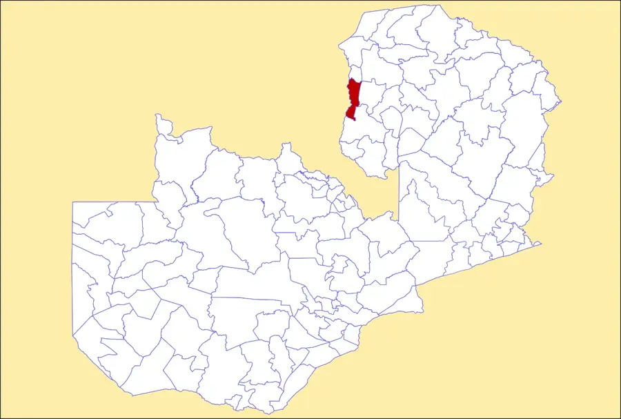
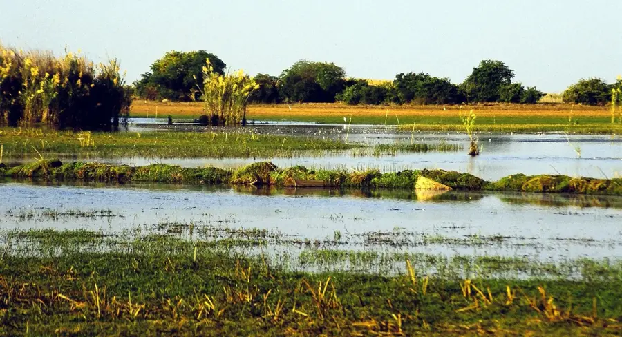
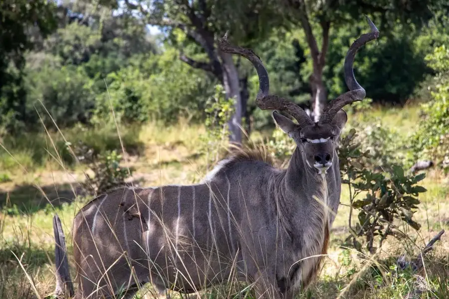
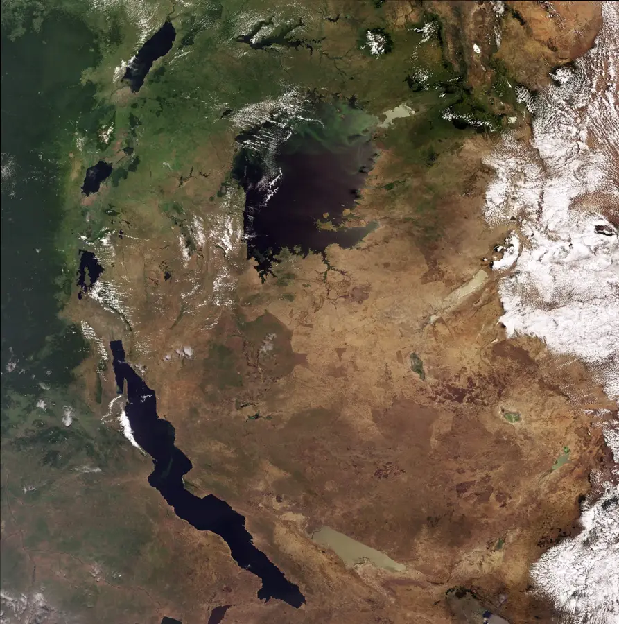
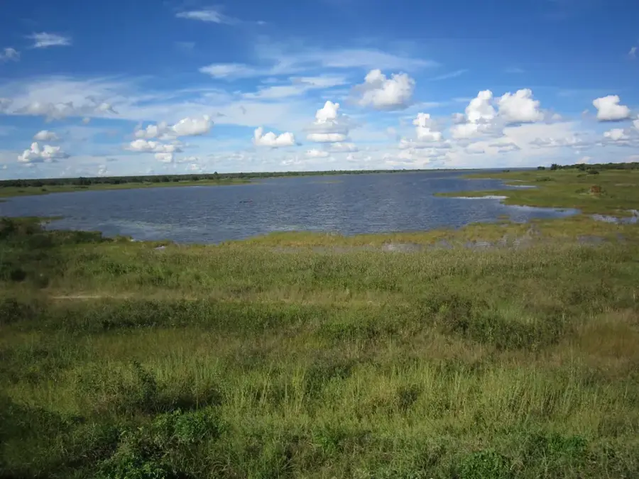
The Muchinga Mountains are a prominent ridge in eastern Zambia, stretching nearly 700 kilometers in a northeast-southwest direction. This mountain range serves as a critical continental divide, separating the drainage basins of the Zambezi and Congo rivers. The topography is characterized by steep escarpments and rugged peaks, particularly on the eastern side where the mountains drop dramatically into the Luangwa Valley. While the average elevation ranges from 1,500 to 1,700 meters, the northern sector contains the Mafinga Hills, where Mafinga Central reaches 2,339 meters, the highest point in Zambia. Geologically, the range consists primarily of ancient Precambrian crystalline rocks such as granites and schists. The vegetation transitions from dense Miombo woodlands at lower elevations to montane grasslands on the higher plateaus, hosting unique flora and fauna. Historically, the Muchingas presented a formidable barrier to transportation; the construction of the TAZARA railway and the Great North Road required significant engineering efforts to overcome the steep gradients. Today, the mountains are recognized for their role in regulating regional rainfall patterns and as an important ecological corridor for wildlife migrating between northern and eastern Zambia.
- Location: Zambia
- Nearby: Shiwang'andu (32 km)
Best time to visit & climate
The most pleasant time to visit is Aug–Oct.
| Jan | Feb | Mar | Apr | May | Jun | Jul | Aug | Sep | Oct | Nov | Dec | |
|---|---|---|---|---|---|---|---|---|---|---|---|---|
| Avg °C | 20 | 20 | 20 | 19 | 17 | 15 | 15 | 17 | 21 | 23 | 23 | 21 |
| Rain mm | 281 | 219 | 183 | 59 | 8 | 3 | 2 | 2 | 3 | 16 | 106 | 245 |
📋 Practical info
Geography
Facts
- The Muchinga Mountains extend for approximately 700 km across Zambia.
- Mafinga Central, the highest point in Zambia at 2,339 m, is located here.
- The range acts as a primary watershed between the Congo and Zambezi basins.
- The TAZARA railway was built through these mountains in the 1970s.
- The mountains consist of ancient Precambrian rocks over 500 million years old.
- The eastern escarpment creates a dramatic 1,000-meter drop to the valley floor.
Explore nearby
Notable places around
Route planner — Car & Motorhome
Where do you start? We build the route here, with stops and country notes along the way.
© OpenStreetMap contributors · OpenRouteService
Sights nearby
Frequently asked questions
Are the Muchinga Mountains good for hiking?
Is there tourist infrastructure there?
Do you need a permit for hiking?
What is the weather like in the mountains?
What equipment is important?
Muchinga Mountains: where is it located?
Muchinga Mountains: when is the best time to visit?
Muchinga Mountains: why is it worth visiting?

Nearby cities

History & landmarks
Nature

More places