Plizio Visual Lab
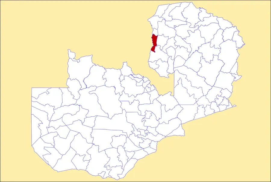
Bangweulu Basin
Weather…
Water temperature…
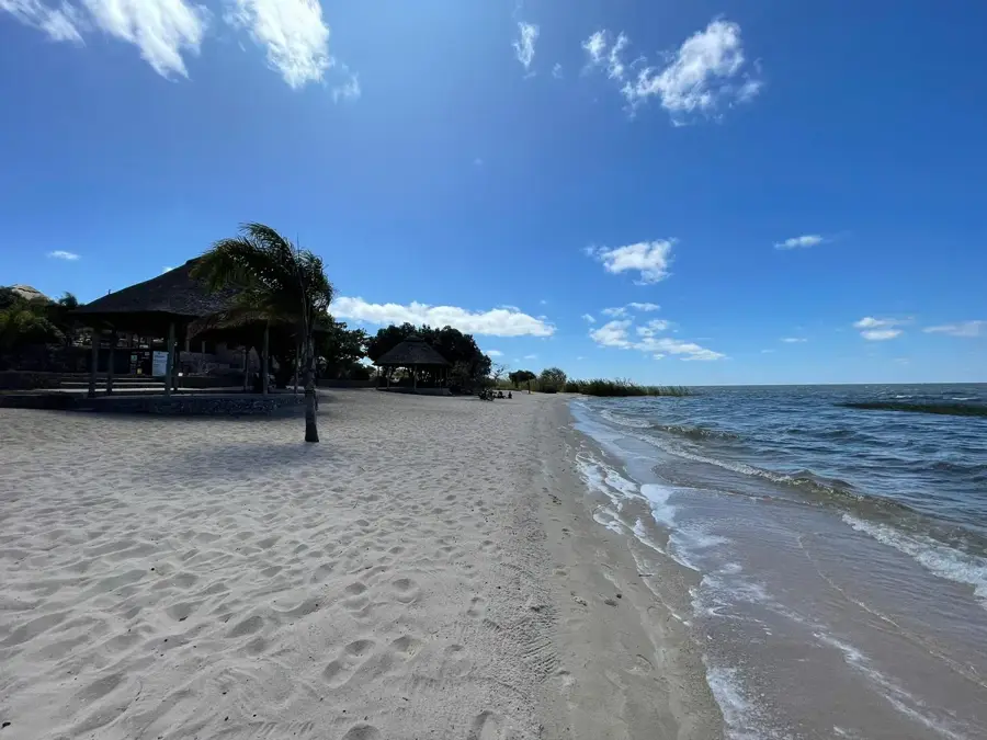
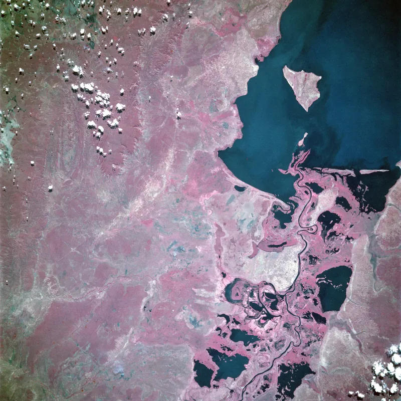
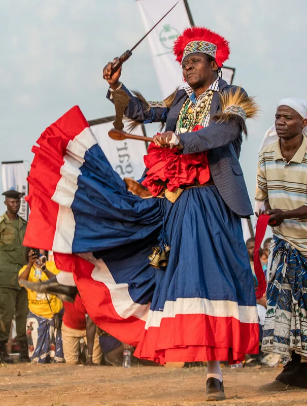
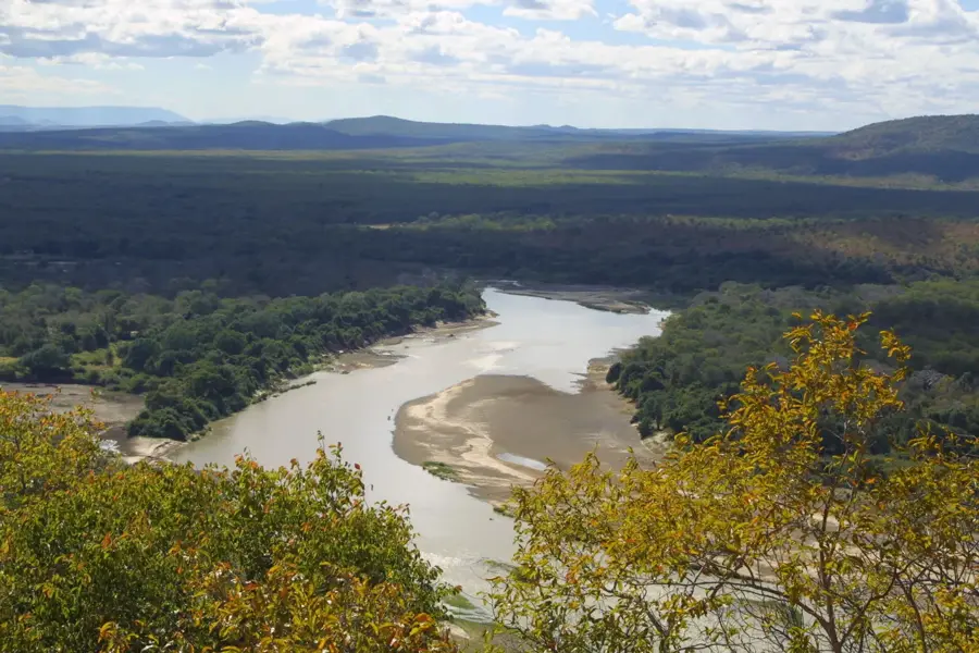
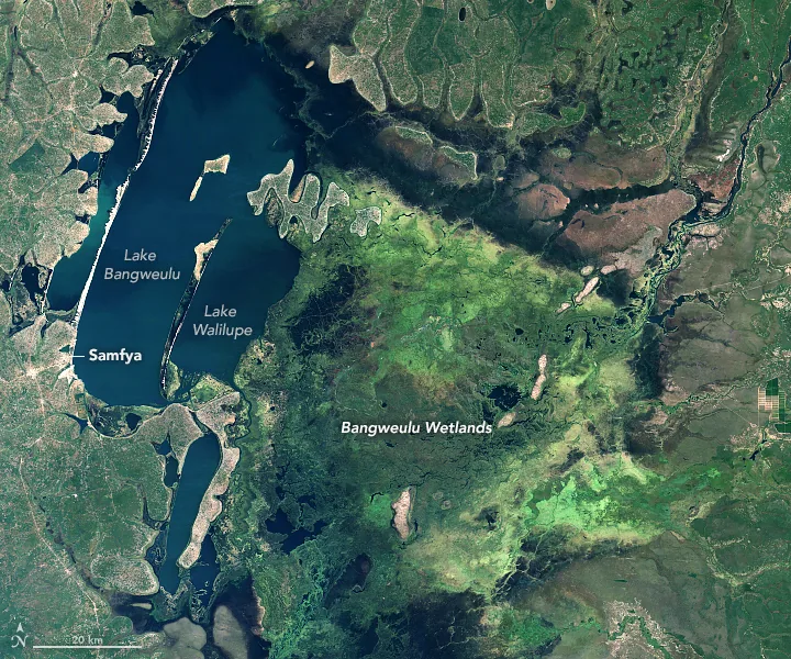
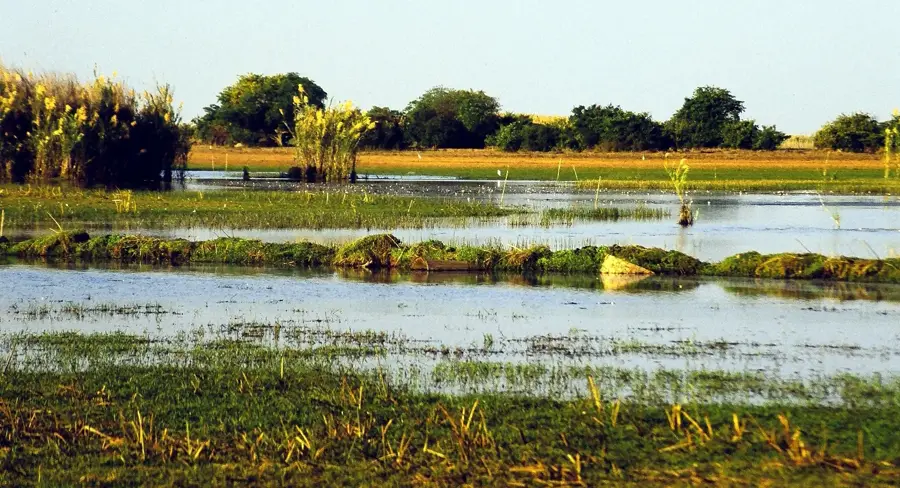
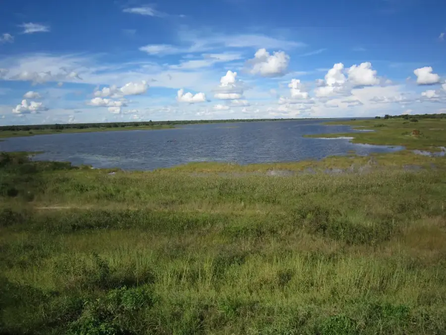
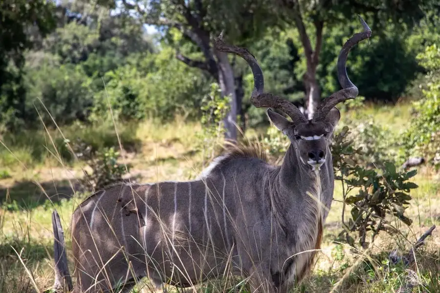
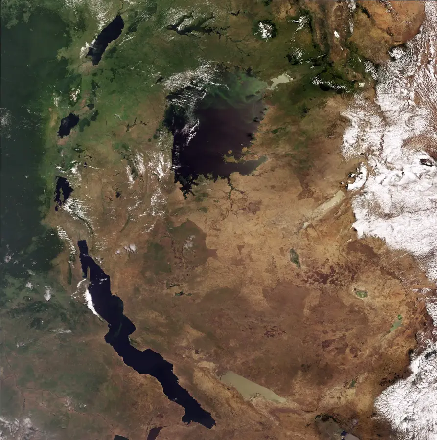
The Bangweulu Basin in northeastern Zambia is one of the world's great wetland systems, encompassing Lake Bangweulu and a vast expanse of surrounding swamps and floodplains. The relief is exceptionally flat, situated in a shallow depression on the central African plateau at an elevation of roughly 1,140 meters above sea level. Geologically, the basin is a tectonic downwarp that captures the waters of the Chambeshi River and numerous other tributaries before they exit via the Luapula River. During the peak of the rainy season, the flooded area expands to cover over 15,000 square kilometers, creating a labyrinth of channels and lagoons. The vegetation consists primarily of dense papyrus stands, floating reed mats, and seasonal floodplains that host a remarkable array of wildlife. Historically, the region is famous as the site where explorer David Livingstone died in 1873 during his quest for the Nile's source. The basin is the only place on earth where the Black Lechwe antelope is found and remains a critical habitat for the prehistoric-looking Shoebill stork. Today, the Bangweulu Basin is managed through a successful community-led conservation model, supporting thousands of local fishermen while protecting its unique ecological integrity.
- Location: Zambia
- Nearby: Samfya (36 km)
Best time to visit & climate
The most pleasant time to visit is May, Aug, Sep.
| Jan | Feb | Mar | Apr | May | Jun | Jul | Aug | Sep | Oct | Nov | Dec | |
|---|---|---|---|---|---|---|---|---|---|---|---|---|
| Avg °C | 21 | 22 | 22 | 21 | 20 | 18 | 18 | 20 | 24 | 26 | 25 | 22 |
| Rain mm | 245 | 183 | 165 | 52 | 4 | 1 | 1 | 1 | 2 | 24 | 128 | 269 |
📋 Practical info
Geography
Facts
- The system can cover up to 15,000 square kilometers during floods.
- The basin sits at an average elevation of approximately 1,140 meters.
- It is the only habitat in the world for the endemic Black Lechwe.
- The Chambeshi River is the primary source of water for the entire basin.
- David Livingstone died near the edge of these swamps in 1873.
- The basin supports one of Africa's most significant Shoebill populations.
Explore nearby
Notable places around
Route planner — Car & Motorhome
Where do you start? We build the route here, with stops and country notes along the way.
© OpenStreetMap contributors · OpenRouteService
Sights nearby
Frequently asked questions
Is the Bangweulu Basin interesting for tourists?
How do I get there?
What animals are mainly seen?
Are there campsites there?
When is the best time to travel?
Bangweulu Basin: where is it located?
Bangweulu Basin: when is the best time to visit?
Bangweulu Basin: why is it worth visiting?

Nearby cities

History & landmarks
Nature


More places