Plizio Visual Lab
Mpika
ℹ️Practical info — Mpika
▾
🌤 Weather — 5 days
📍 Nearby
Sights nearby
💡 Tips
- Mpika is a major transit hub: refuel your vehicle and stock up on supplies here before heading into the national parks.
- The TAZARA railway stops here. Check train schedules directly at the station as delays are very common.
- Cash is essential. There are ATMs in the town center, but they occasionally run out of cash.
- Bring warm clothes if visiting during the dry season (June-August), as evenings can get surprisingly chilly.
🍽 Food
The local staple food. Try it at small roadside eateries.
Buy bananas and seasonal mangoes directly from street vendors.
Small fried fish, commonly served in local, simple diners.
🛍 Shopping · 🧘 Quiet spots
The best place for fresh local produce and basic daily supplies.
Look for handmade baskets and traditional wood carvings.
A peaceful, leafy area suitable for a quiet walk.
Scenic and tranquil nature spots away from the highway traffic.
Water temperature…
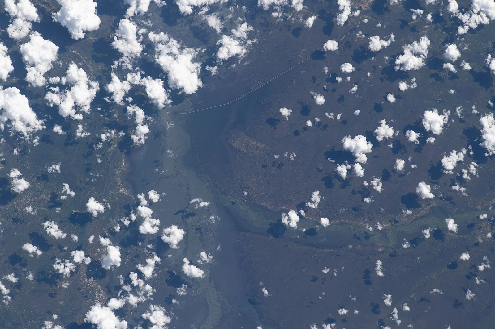
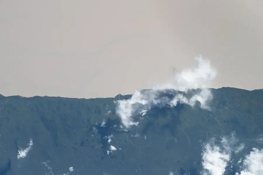
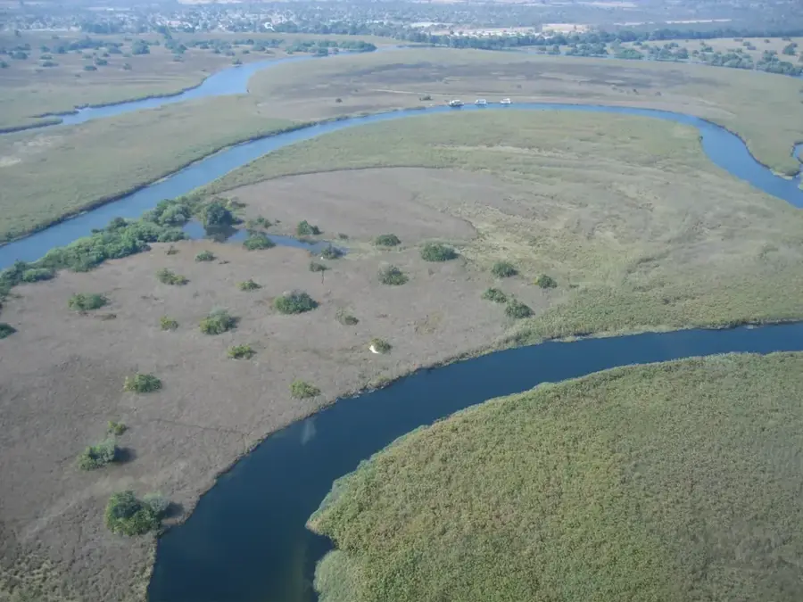
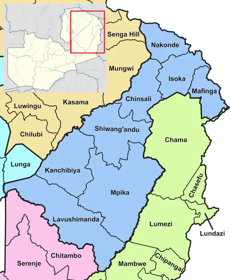
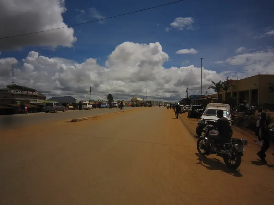
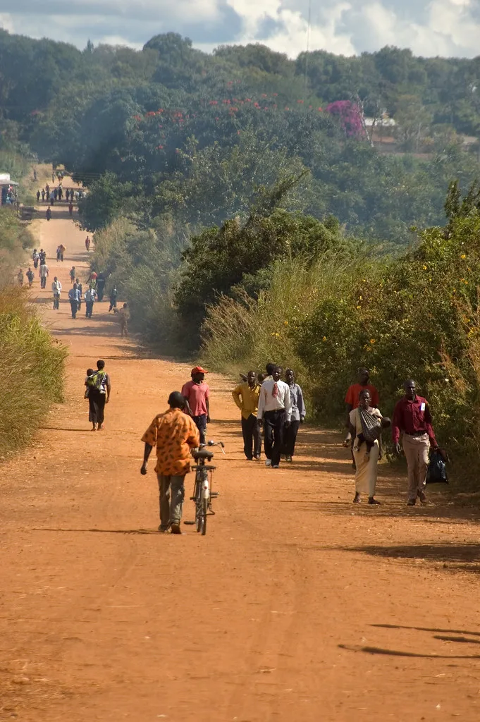
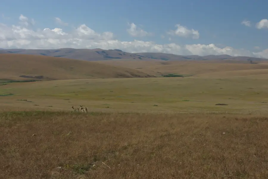
Mpika is a strategically significant town located in the Muchinga Province of northeastern Zambia, serving as a vital transportation junction. It is here that the Great North Road meets the TAZARA railway, a major line connecting Zambia's heartland with the port of Dar es Salaam in Tanzania. The town hosts extensive railway workshops, which are a cornerstone of the local economy and provide employment for many residents. Geographically, Mpika is situated on a high plateau near the Muchinga Escarpment, offering wide-open views and access to remote wilderness areas. It serves as the primary gateway for travelers heading to the North and South Luangwa National Parks, two of Africa's premier wildlife destinations. Historically, Mpika was established as an administrative and logistical post during the British colonial era, supporting early explorers and colonial officers. In the vicinity, the Lwitikila Falls provide a scenic spot for leisure, showcasing the region's natural beauty.
- Location: Zambia
- Nearby: Shiwang'andu (70 km)
- Population: ~63.740 (2024)
Best time to visit & climate
The most pleasant time to visit is Aug–Oct.
| Jan | Feb | Mar | Apr | May | Jun | Jul | Aug | Sep | Oct | Nov | Dec | |
|---|---|---|---|---|---|---|---|---|---|---|---|---|
| Avg °C | 20 | 20 | 20 | 19 | 17 | 15 | 15 | 18 | 21 | 24 | 24 | 21 |
| Rain mm | 281 | 240 | 206 | 67 | 8 | 3 | 2 | 2 | 4 | 20 | 116 | 277 |
Geography
Facts
- Junction of the Great North Road and the TAZARA railway.
- Located at an altitude of 1,450 meters on the Muchinga Escarpment.
- Major TAZARA railway workshops are situated in the town.
- Gateway to the South Luangwa National Park (Northern Gate).
- Home to the Lwitikila Falls, located about 15 km from the center.
- Muchinga Province administrative center (district level).
Explore nearby
Notable places around
Route planner — Car & Motorhome
Where do you start? We build the route here, with stops and country notes along the way.
© OpenStreetMap contributors · OpenRouteService
Sights in the town Mpika (1)
Frequently asked questions
What makes Mpika special?
When is the best time to visit?
How is the infrastructure?
Are there accommodations there?
Is the area safe?
Mpika: where is it located?
Mpika: when is the best time to visit?
Mpika: why is it worth visiting?

Nearby cities

History & landmarks
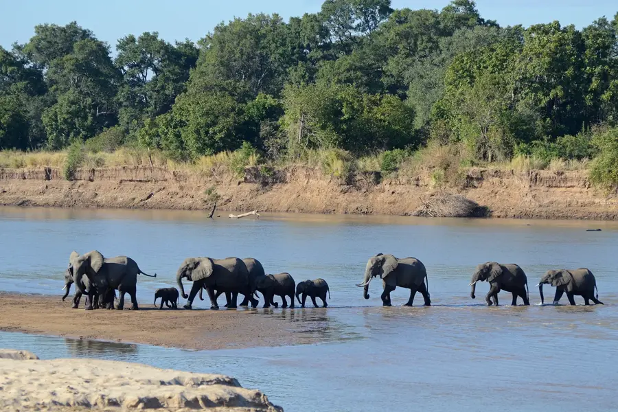
Nature
More places