Plizio Visual Lab
Serenje Hills
Weather…
Water temperature…
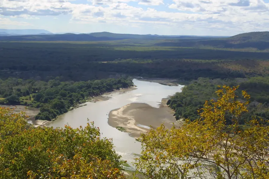
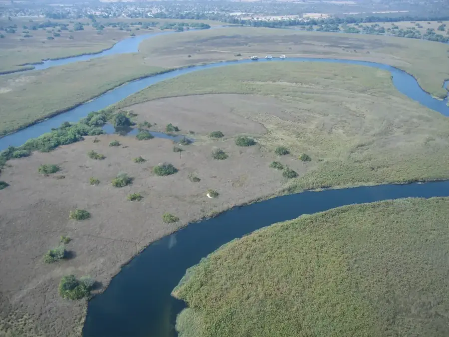
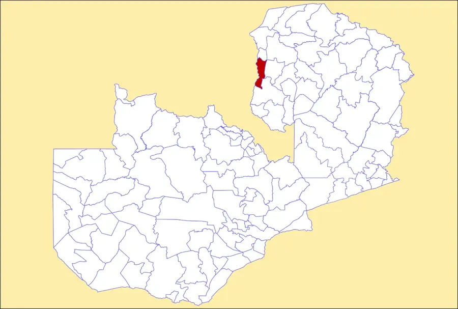
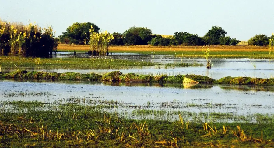
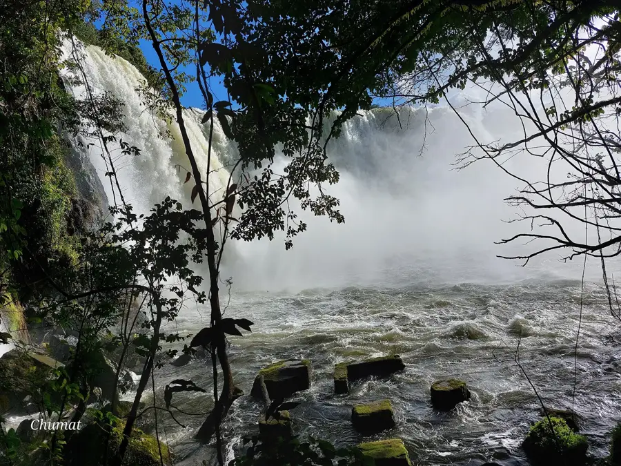
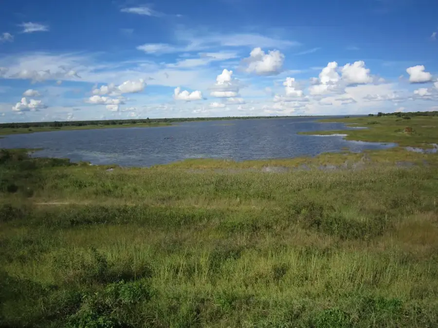
The Serenje Hills are part of the Muchinga Mountain range in Zambia's Central Province, marking the watershed between the Zambezi and Congo river basins. The region is characterized by rugged quartzite ridges and deeply incised valleys that reach elevations exceeding 1,500 metres. A prominent feature of the area is Kundalila Falls, where the Kaombe River plunges over the edge of the Muchinga Escarpment. The geology is dominated by ancient metamorphic rocks, providing evidence of tectonic uplift occurring millions of years ago. The cool highland climate supports unique flora, including numerous orchid species and proteas. The town of Serenje, serving as the administrative centre, is a significant stop along the historic Great North Road. The hills not only offer dramatic views of the Luangwa Valley but are also critically important for preserving regional biodiversity.
- Location: Zambia
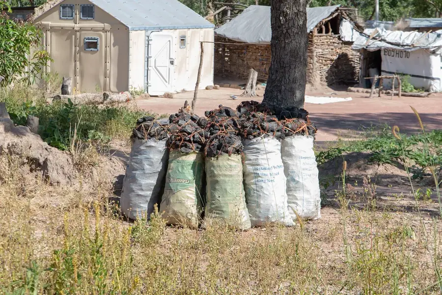
- Nearby: Serenje (39 km)
Best time to visit & climate
The most pleasant time to visit is Apr, May, Aug.
| Jan | Feb | Mar | Apr | May | Jun | Jul | Aug | Sep | Oct | Nov | Dec | |
|---|---|---|---|---|---|---|---|---|---|---|---|---|
| Avg °C | 23 | 23 | 22 | 21 | 20 | 18 | 18 | 21 | 24 | 27 | 27 | 24 |
| Rain mm | 273 | 214 | 142 | 48 | 5 | 2 | 2 | 1 | 2 | 12 | 86 | 269 |
📋 Practical info
Geography
Facts
- The highest point in the Serenje Hills exceeds 1,500 m elevation.
- Kundalila Falls features a vertical drop of approximately 80 metres.
- The hills form the watershed between Africa's two largest river systems.
- Precambrian quartzites and schists geologically dominate the landscape.
- The Great North Road connects Serenje to Lusaka and the Northern Province.
- Serenje became an independent district within Zambia in 1964.
Explore nearby
Notable places around
Route planner — Car & Motorhome
Where do you start? We build the route here, with stops and country notes along the way.
© OpenStreetMap contributors · OpenRouteService
Sights nearby
Frequently asked questions
Are the Serenje Hills easily accessible?
Can one hike there?
Are there accommodation options?
When is the best time?
Is it family-friendly?
Serenje Hills: where is it located?
Serenje Hills: when is the best time to visit?
Serenje Hills: why is it worth visiting?

Nearby cities


History & landmarks
Nature

More places