Plizio Visual Lab
Luapula Valley

Weather…
Water temperature…
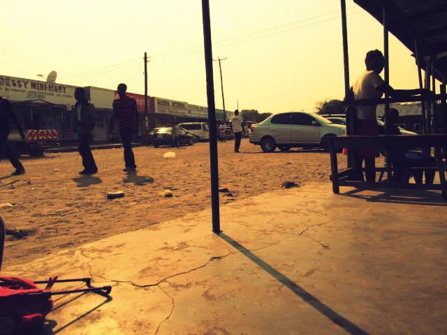
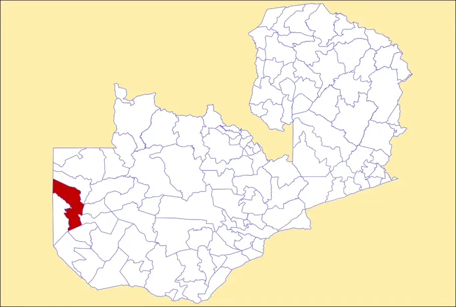
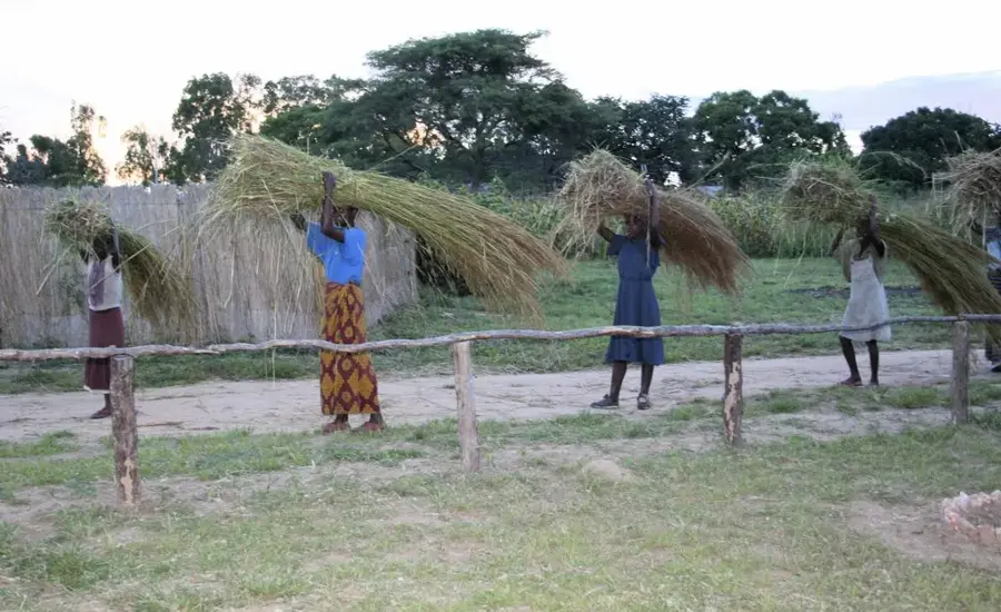
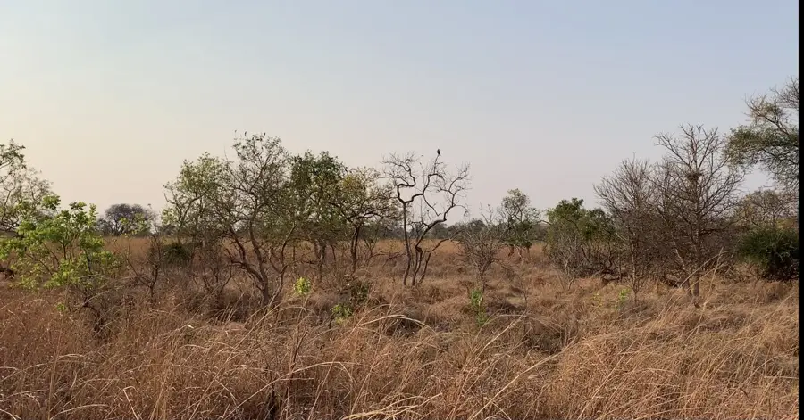
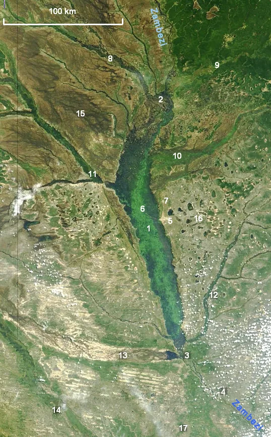
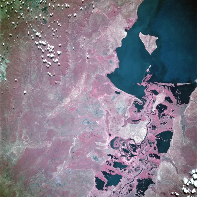
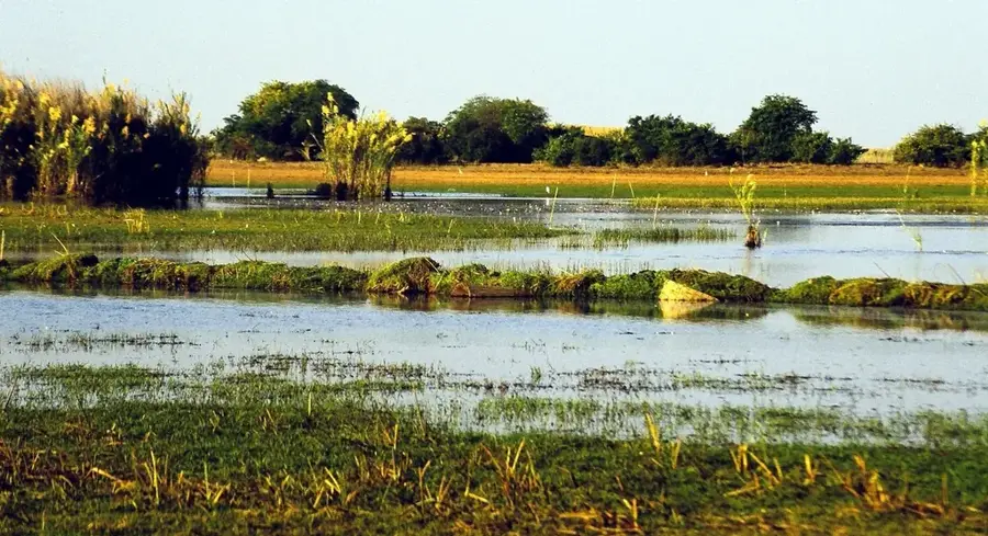
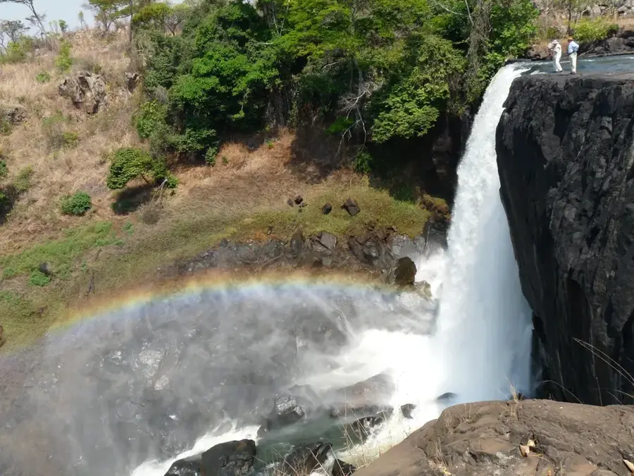
The Luapula Valley stretches along the border between Zambia and the Democratic Republic of the Congo, defined by the course of the Luapula River. This valley connects the Bangweulu wetlands with Lake Mweru and is one of the most densely populated rural areas in Zambia. The fertile soils and the river's abundant fish stocks provide a livelihood for hundreds of thousands of people, particularly the Lunda people. Geographically, the valley is characterized by a series of rapids and waterfalls, such as Mambilima Falls, which mark the river's descent through various geological formations. The region is famous for its intensive commercial fishing industry, which supplies markets throughout the Copperbelt province. Beyond its economic importance, the valley hosts an animated cultural landscape, including the annual Mutomboko ceremony performed by the Mwata Kazembe. The vegetation ranges from dense riverine forests to expansive marshes, hosting high biodiversity and serving as critical habitats for hippos and numerous species of waterfowl.
- Location: Zambia
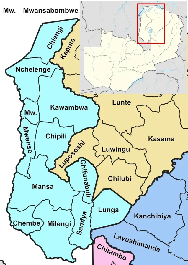
- Nearby: Kawambwa (31 km)
Best time to visit & climate
The most pleasant time to visit is May–Jul.
| Jan | Feb | Mar | Apr | May | Jun | Jul | Aug | Sep | Oct | Nov | Dec | |
|---|---|---|---|---|---|---|---|---|---|---|---|---|
| Avg °C | 24 | 24 | 24 | 24 | 23 | 21 | 22 | 24 | 27 | 28 | 26 | 24 |
| Rain mm | 210 | 155 | 176 | 70 | 5 | 1 | 0 | 2 | 7 | 37 | 151 | 222 |
📋 Practical info
Geography
Facts
- Forms the international boundary with the DR Congo
- Links the Bangweulu wetlands with Lake Mweru
- One of Zambia's most densely populated rural regions
- Features the Mambilima Falls along the Luapula River
- Primary source of fish for markets in the Copperbelt province
- Home to the historic Mutomboko ceremony of the Lunda people
Explore nearby
Notable places around
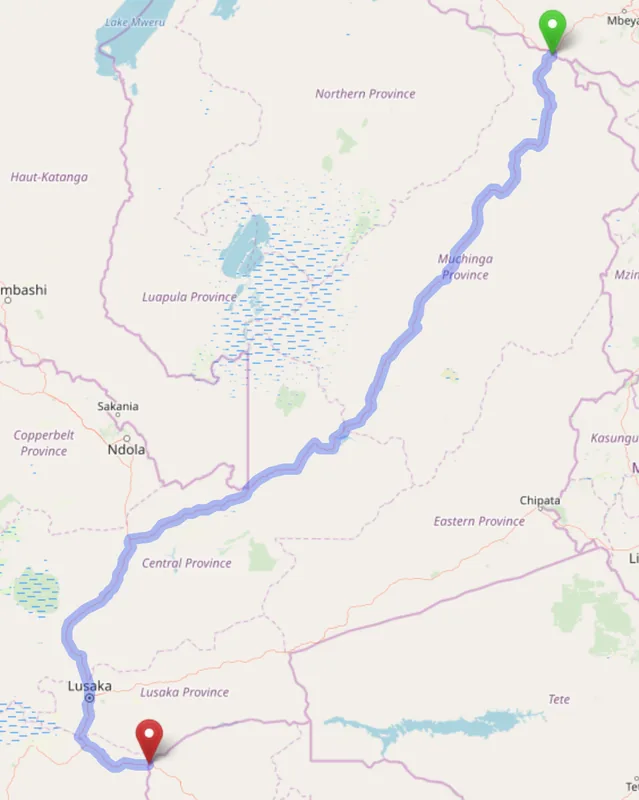
Route planner — Car & Motorhome
Where do you start? We build the route here, with stops and country notes along the way.
© OpenStreetMap contributors · OpenRouteService
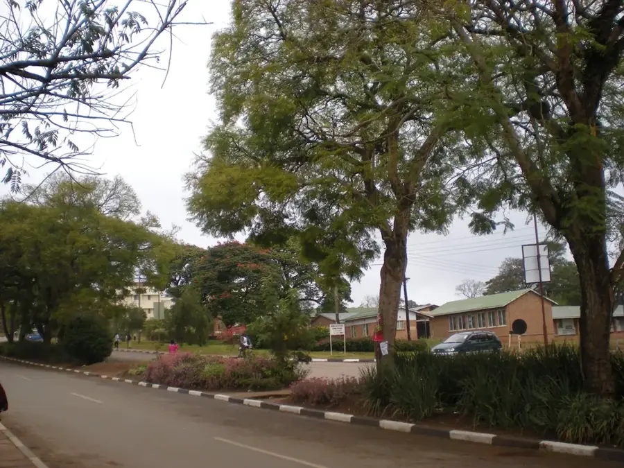
Sights in the town Luapula Valley (1)
Sights nearby
Frequently asked questions
How is the vegetation in the Luapula Valley?
When should one visit the valley?
Is there a malaria risk there?
What transport options are available?
Can I watch birds there?
Luapula Valley: where is it located?
Luapula Valley: when is the best time to visit?
Luapula Valley: why is it worth visiting?

Nearby cities


History & landmarks
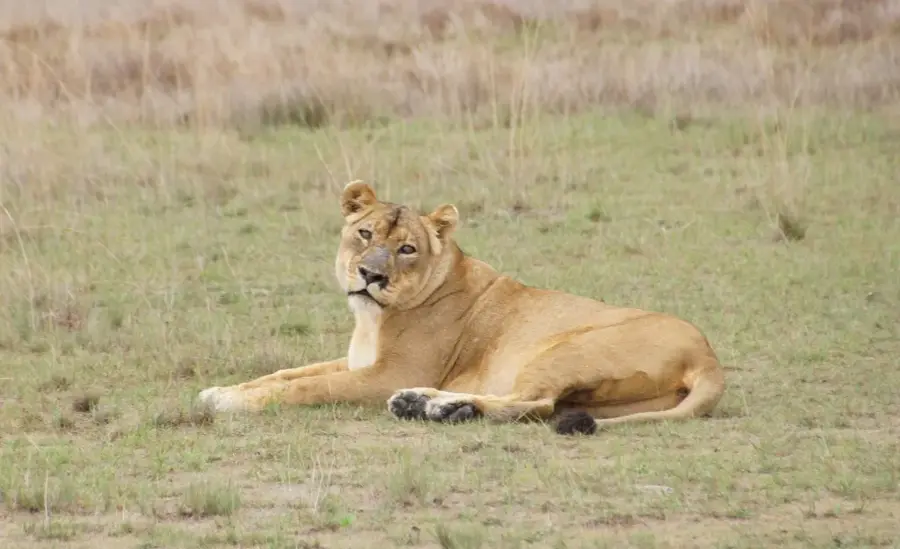
Nature
More places