Plizio Visual Lab
Kaoma
ℹ️Practical info — Kaoma
▾
🌤 Weather — 5 days
📍 Nearby
Sights nearby
💡 Tips
- Carry enough Zambian Kwacha in cash, as ATMs can be unreliable.
- The dry season can be very dusty, so pack a scarf to cover your face on transport.
- Learn a few words of Lozi or Nkoya to connect with the locals.
- Taxis and minibuses operate from the town center, but schedules are informal.
🍽 Food
Zambia's staple food. Try it at the small local eateries near the main market.
Grab roasted or boiled maize from street-side vendors, especially during harvest season.
Freshly caught fish from surrounding rivers, often served deep-fried.
🛍 Shopping · 🧘 Quiet spots
The best spot for fresh agricultural produce, particularly local tobacco and maize.
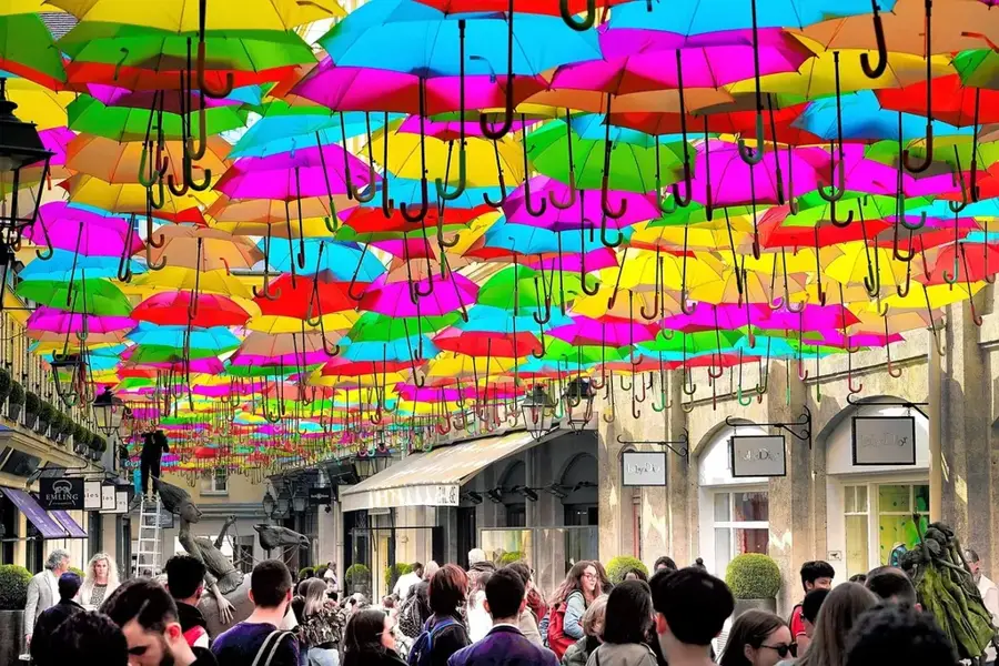
Colorful African printed materials available at the local markets.
Take a walk towards the maize fields in the late afternoon for a peaceful atmosphere.
Away from the main roads, look for small paths along the local waterways.
Water temperature…
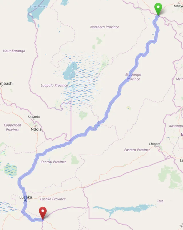
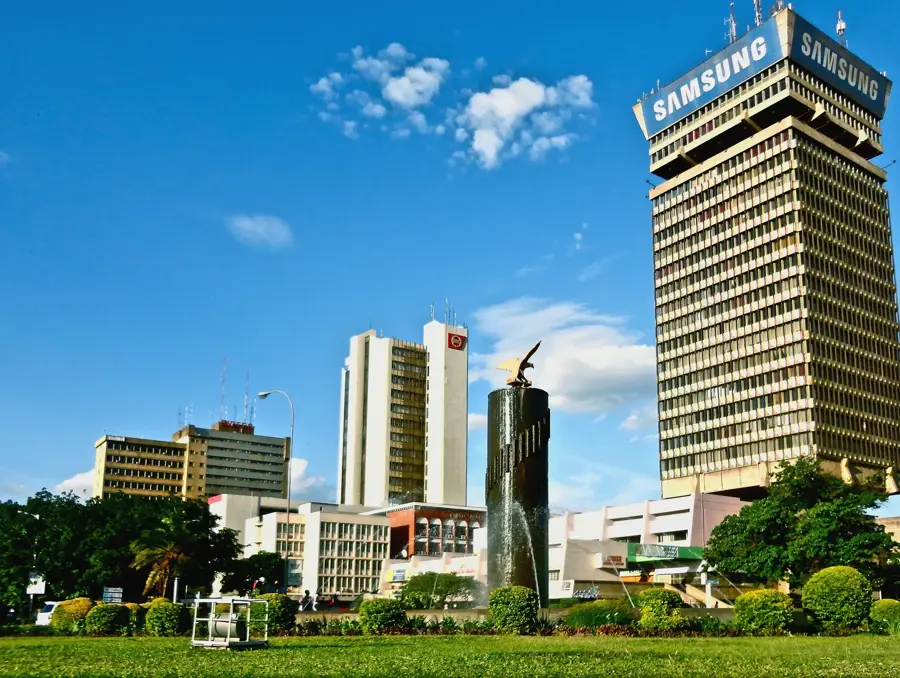
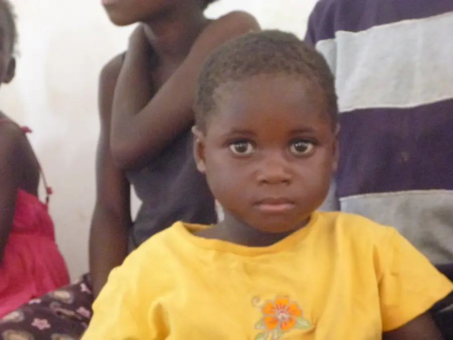
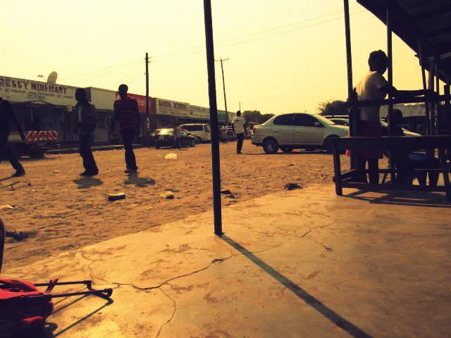
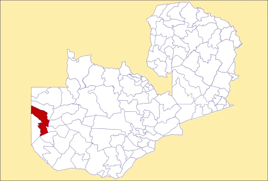
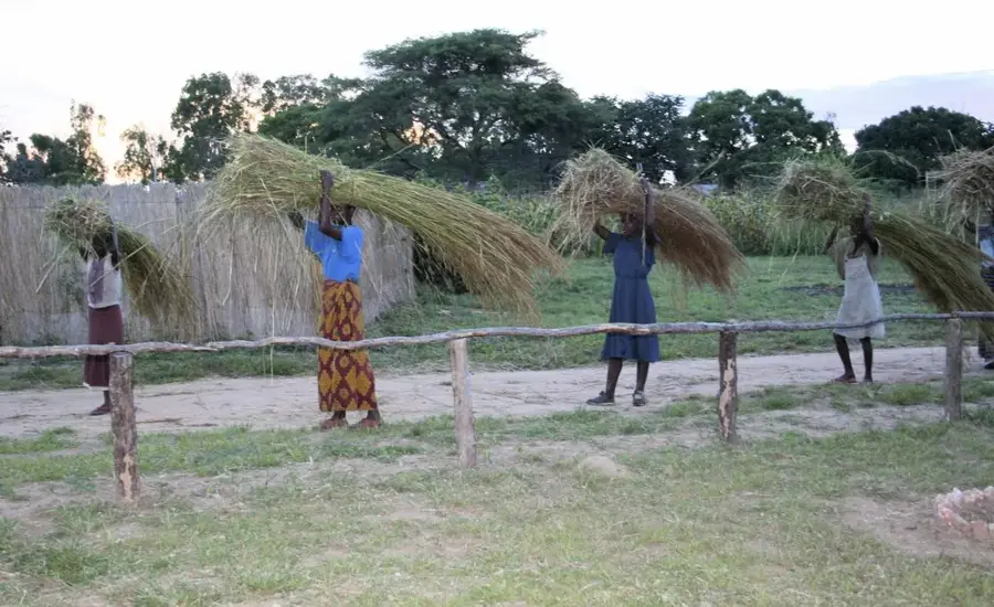
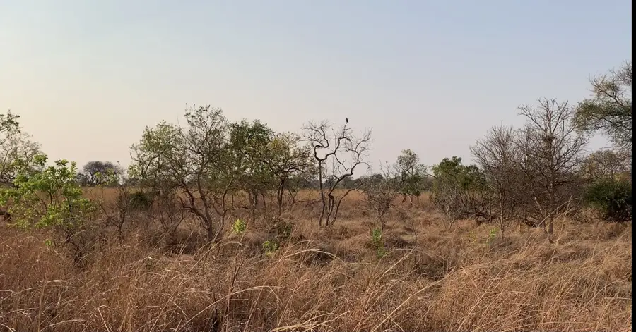
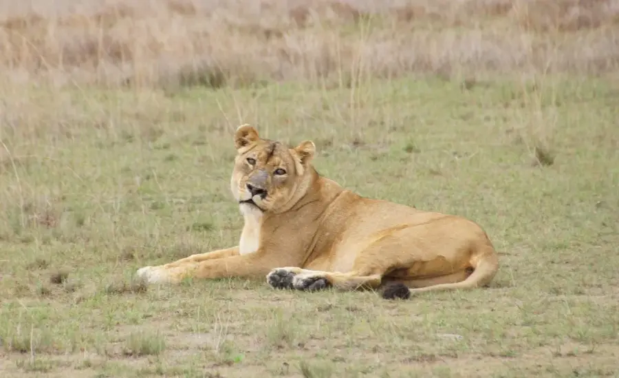
Kaoma, formerly known as Mankoya, is a key town in the Western Province of Zambia, located along the vital highway connecting Lusaka and Mongu. The town serves as a significant agricultural hub, with the surrounding district renowned for producing tobacco, maize, and groundnuts, alongside a productive timber industry. Geographically, Kaoma is positioned as the eastern gateway to the Kafue National Park, one of the largest wildlife sanctuaries in Africa. Historically, the town's name was changed from Mankoya to Kaoma in 1964 following Zambia's independence to mark a new national era. The community is largely composed of the Nkoya people, whose rich cultural heritage is showcased during the annual Kazanga traditional ceremony. The town's economy is driven by its role as a transit point for goods moving between the capital and the western regions of the country. Recent improvements in road infrastructure and social services have bolstered Kaoma's status as a growing urban center in the province.
- Location: Zambia
- Nearby: Mongu (69 km)
- Population: ~34.347 (2024)
Best time to visit & climate
The most pleasant time to visit is Apr, May, Aug.
| Jan | Feb | Mar | Apr | May | Jun | Jul | Aug | Sep | Oct | Nov | Dec | |
|---|---|---|---|---|---|---|---|---|---|---|---|---|
| Avg °C | 23 | 22 | 22 | 21 | 20 | 18 | 18 | 21 | 25 | 28 | 26 | 24 |
| Rain mm | 220 | 178 | 146 | 33 | 2 | 1 | 0 | 0 | 2 | 20 | 105 | 232 |
Geography
Facts
- Known as Mankoya until independence in 1964
- Central hub for tobacco production in Western Province
- Elevation is approximately 1,140 meters above sea level
- Serves as the eastern gateway to Kafue National Park
- Home to the annual Kazanga ceremony of the Nkoya people
- Major transit point on the main Mongu-Lusaka road
Explore nearby
Notable places around
Route planner — Car & Motorhome
Where do you start? We build the route here, with stops and country notes along the way.
© OpenStreetMap contributors · OpenRouteService
Sights in the town Kaoma (1)
Frequently asked questions
How long for Kaoma?
Best time to go?
How to reach Kaoma?
Local cuisine?
Family-friendly?
Kaoma: where is it located?
Kaoma: when is the best time to visit?
Kaoma: why is it worth visiting?

Nearby cities
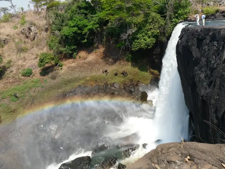
History & landmarks
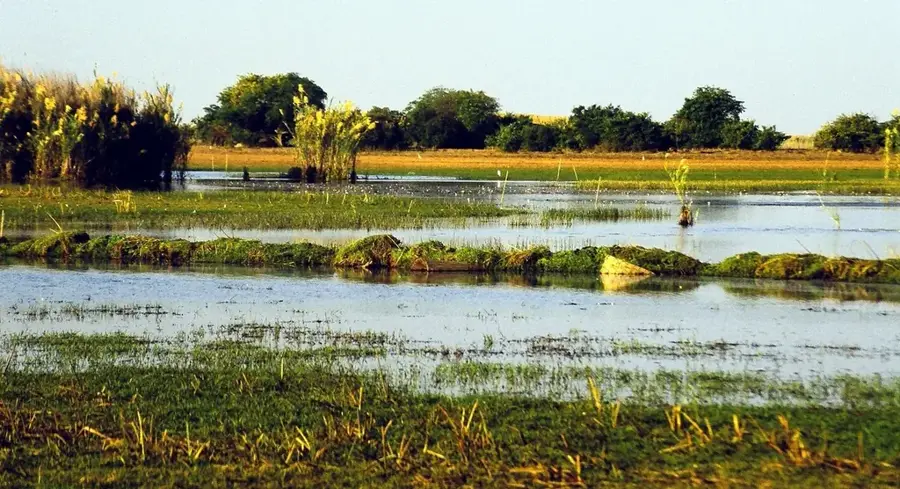
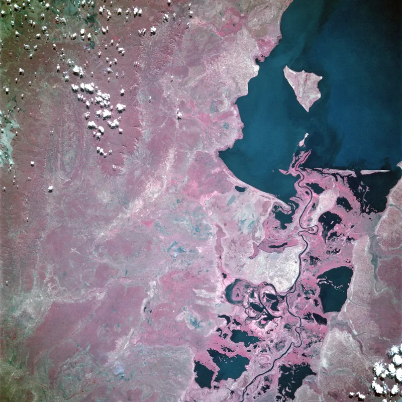
Nature
More places