Plizio Visual Lab
Guelmim Plains

Weather…
Water temperature…
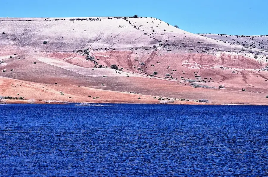
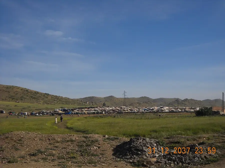
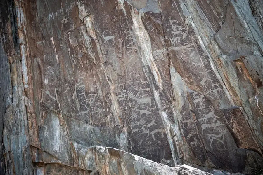
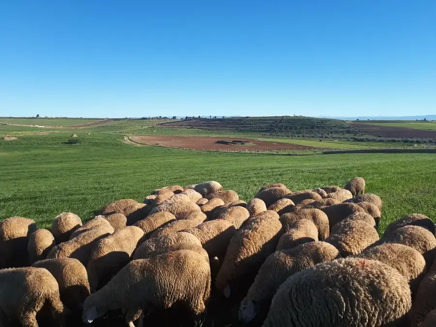
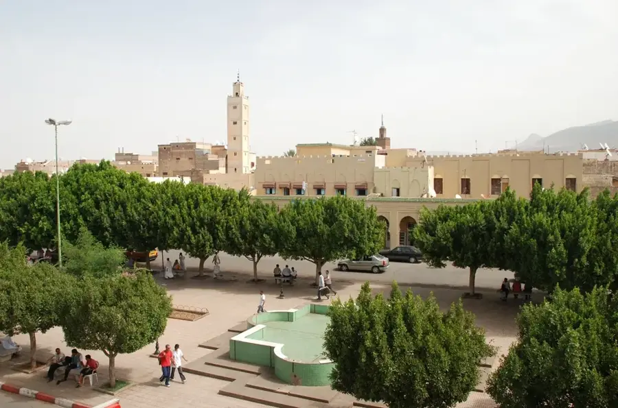
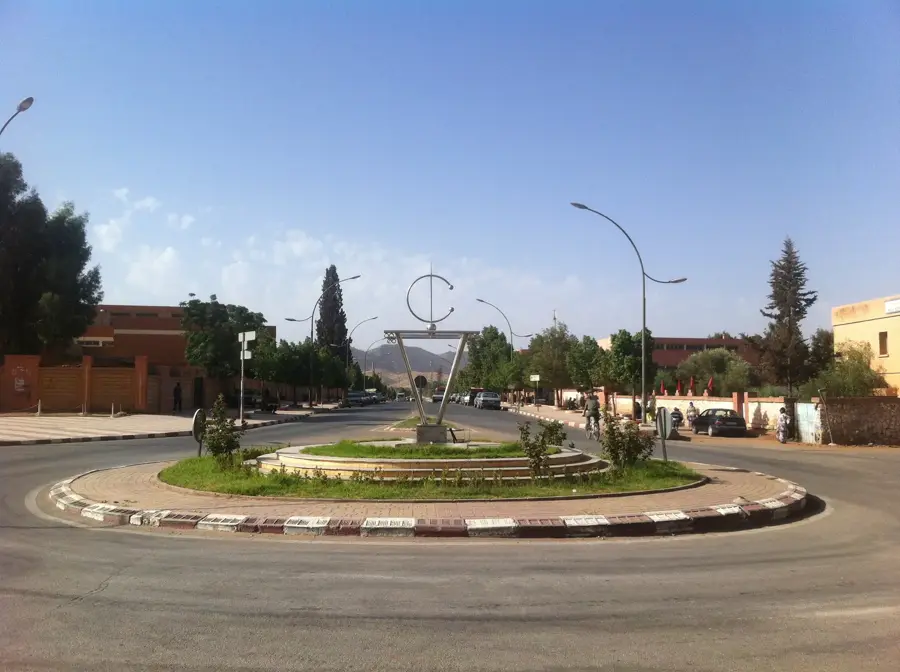
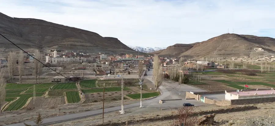
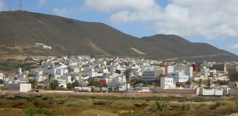
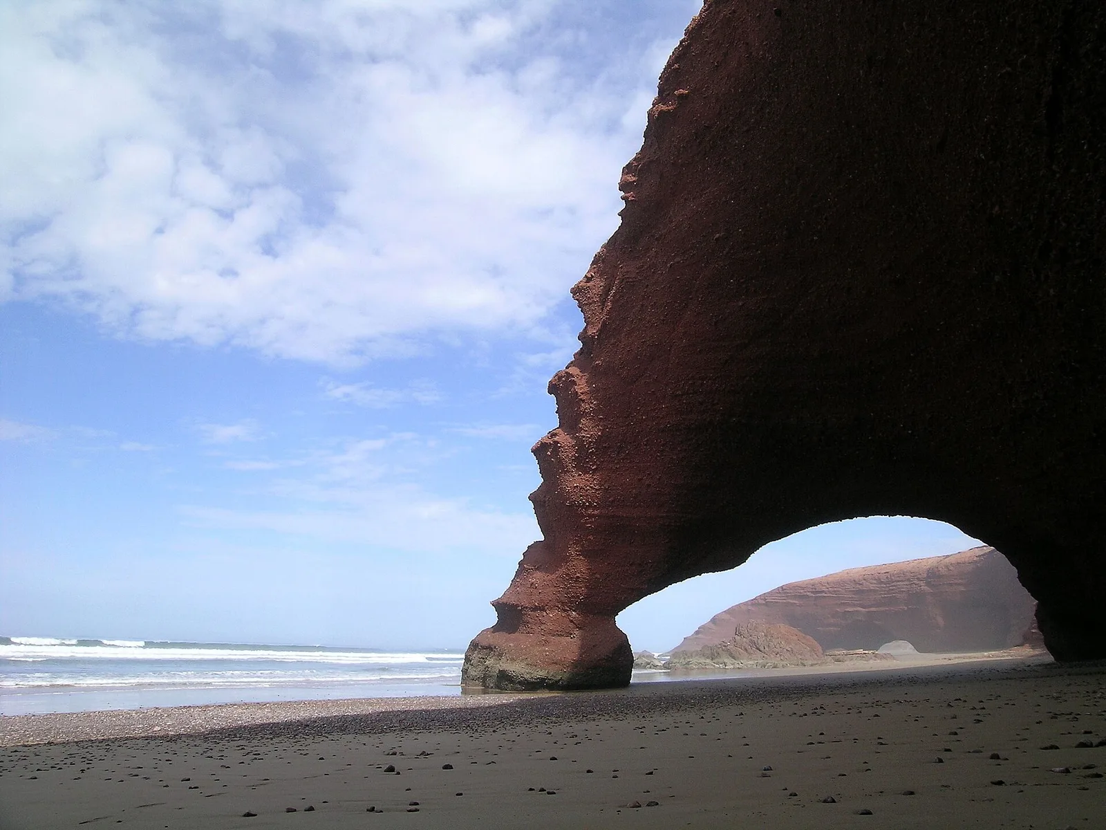
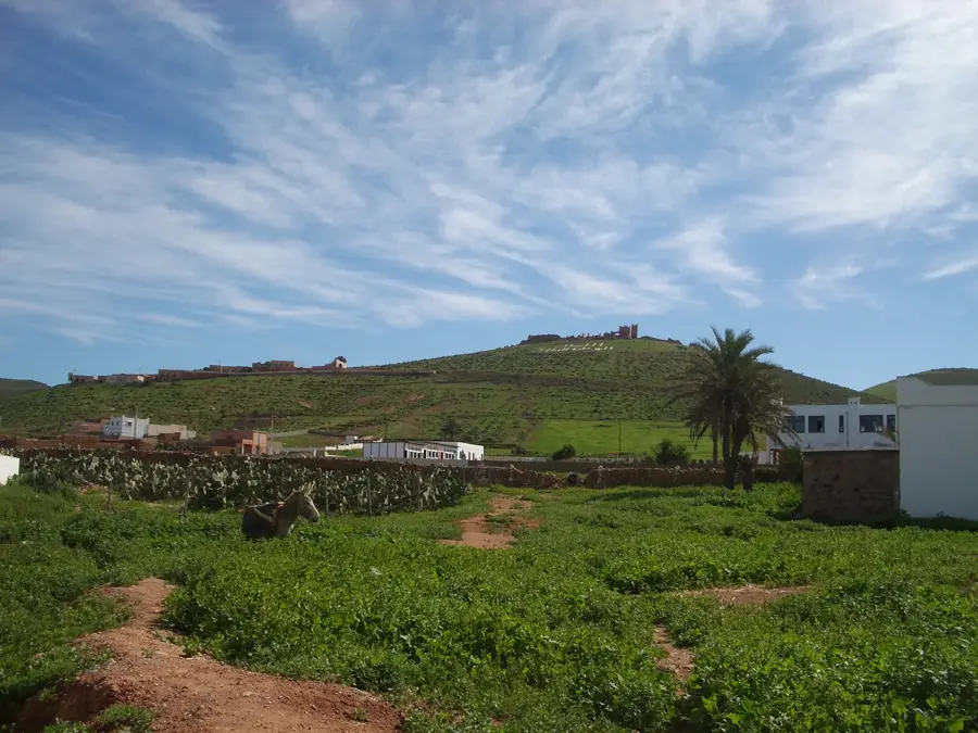
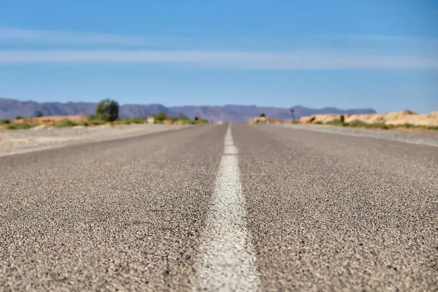
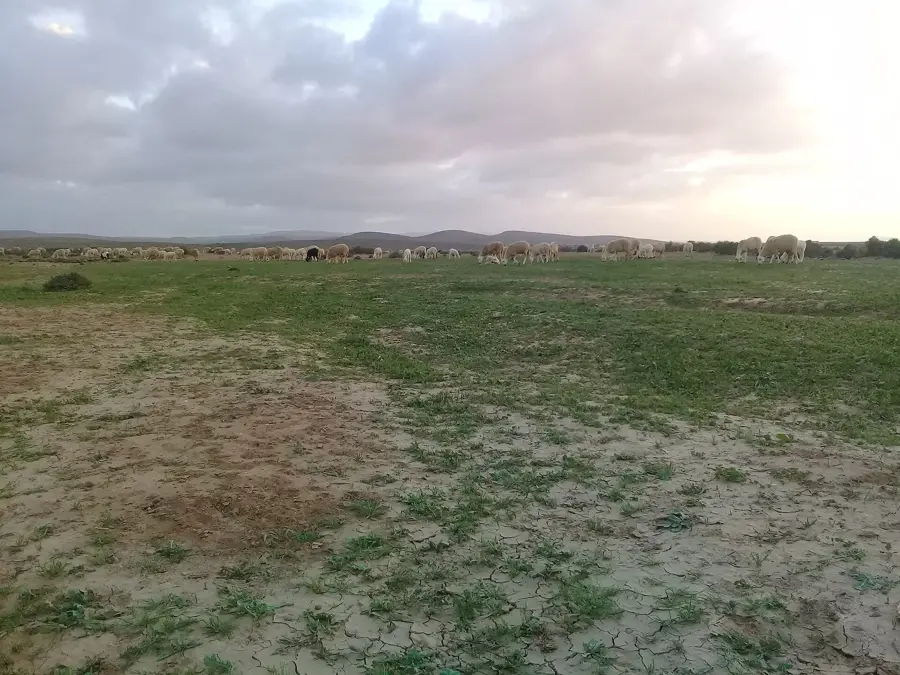
The Guelmim Plains are located in the transitional zone between the Anti-Atlas Mountains and the northern fringes of the Sahara Desert in southwestern Morocco. Geomorphologically, the region is a semi-desert plateau characterized by vast open spaces and isolated mountain ridges known as inselbergs. The city of Guelmim, often called the "Gateway to the Desert," serves as the historic and administrative hub of this strategic territory. Geologically, the area is defined by Precambrian and Paleozoic rocks of the Anti-Atlas shield, overlaid by thin layers of desert sand and gravel. The climate is arid, yet cool, moist air from the Atlantic Ocean facilitates the formation of unique fog oases. Historically, Guelmim was a pivotal node for trans-Saharan trade, serving as a primary destination for caravans arriving from Timbuktu. The region is famous for its weekly camel market, the largest in Morocco, which showcases the nomadic heritage of the Sahrawi and Berber peoples. Local agriculture focuses on oasis farming (date palms) and the cultivation of prickly pears for cactus seed oil. Nearby prehistoric sites feature rock engravings that testify to the region's significantly wetter past.
- Location: Morocco
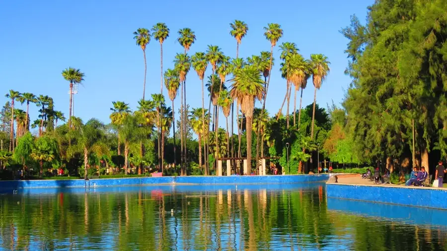
- Top sights: Jardin Botanique Alex et Alessandro · Musee mémoire des nomades · Porte de Guelmim
- Nearby: Guelmim (7 km)
Best time to visit & climate
The most pleasant time to visit is May, Jun, Oct.
| Jan | Feb | Mar | Apr | May | Jun | Jul | Aug | Sep | Oct | Nov | Dec | |
|---|---|---|---|---|---|---|---|---|---|---|---|---|
| Avg °C | 13 | 15 | 17 | 18 | 20 | 23 | 27 | 27 | 24 | 22 | 18 | 14 |
| Rain mm | 20 | 25 | 22 | 11 | 11 | 4 | 3 | 7 | 9 | 23 | 41 | 22 |
📋 Practical info
Geography
Facts
- Guelmim hosts Morocco's largest camel market every Saturday.
- The region is considered the cactus capital of Morocco.
- Historically, the city was the northern terminus for Timbuktu caravans.
- The plains sit at an average elevation of 300 meters above sea level.
- The nearby Abaynou thermal springs offer medicinal waters at 38°C.
- Prehistoric rock art in the region depicts animals like giraffes and lions.
Explore nearby
Notable places around
Route planner — Car & Motorhome
Where do you start? We build the route here, with stops and country notes along the way.
© OpenStreetMap contributors · OpenRouteService
Sights in the town Guelmim Plains (5)
Sights nearby
Frequently asked questions
What are the Guelmim Plains known for?
Are there accommodations there?
Is it crowded with tourists?
When should one come here?
What is special about the market?
Guelmim Plains: where is it located?
Guelmim Plains: what is there to see?
Guelmim Plains: when is the best time to visit?
Guelmim Plains: why is it worth visiting?

Nearby cities
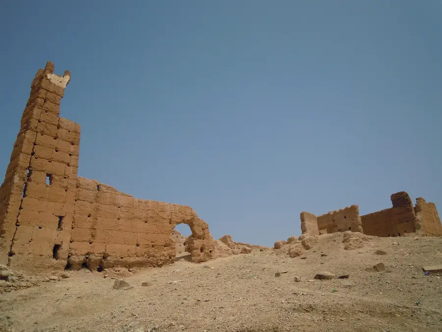
History & landmarks
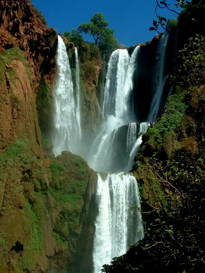
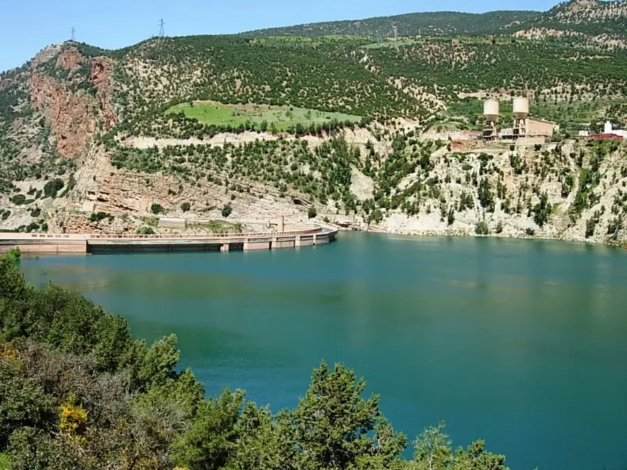
Nature
More places