Plizio Visual Lab
Luapula River
Weather…
Water temperature…
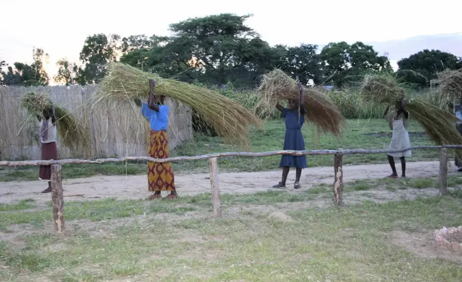
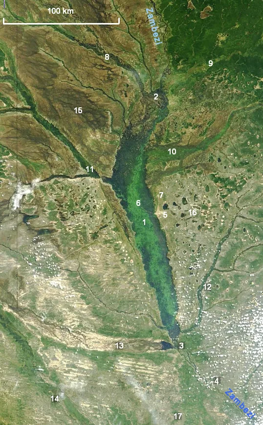
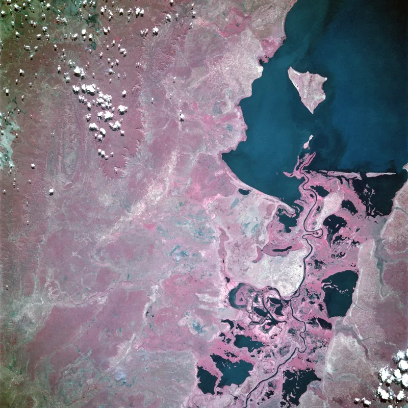
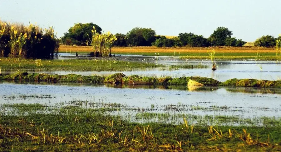
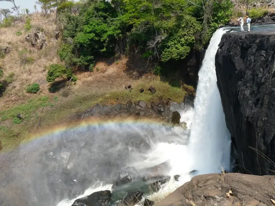
The Luapula River is a major waterway in northern Zambia, forming an extensive natural boundary with the Democratic Republic of the Congo for about 560 kilometers. It originates from the Bangweulu Swamps and flows in a vast arc before emptying into Lake Mweru, forming a key segment of the Congo River system. The river's course is punctuated by several dramatic rapids and falls, most notably the Mambilima Falls, which present both a challenge to navigation and a potential for hydroelectric development. The fertile banks of the Luapula are home to dense human settlements, as the river supports a bustling fishing industry that is the primary source of protein and income for thousands. Geographically, it is surrounded by expansive wetlands and floodplains that provide refuge for unique aquatic species and diverse birdlife. Historically, the river was central to the 19th-century trade routes and the subsequent colonial demarcation between British and Belgian territories. Today, the Luapula remains a vital link for cross-border trade and cultural exchange between the Zambian and Congolese communities. Environmental protection efforts are currently focused on managing fish stocks and mitigating the impacts of deforestation along its drainage basin.
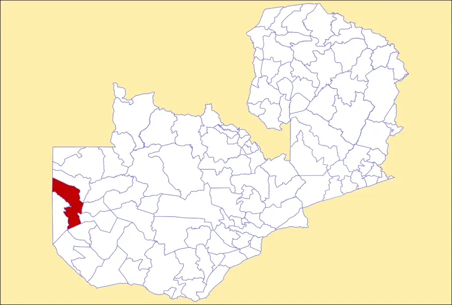
- Location: Zambia
- Nearby: Kawambwa (22 km)
Best time to visit & climate
The most pleasant time to visit is May–Jul.
| Jan | Feb | Mar | Apr | May | Jun | Jul | Aug | Sep | Oct | Nov | Dec | |
|---|---|---|---|---|---|---|---|---|---|---|---|---|
| Avg °C | 23 | 23 | 23 | 23 | 22 | 20 | 21 | 23 | 27 | 28 | 26 | 23 |
| Rain mm | 236 | 171 | 180 | 71 | 5 | 1 | 1 | 2 | 5 | 36 | 159 | 256 |
📋 Practical info
Geography
Facts
- The Luapula River runs for approximately 560 km between its major lakes.
- It is a significant part of the Congo Basin, Africa's largest drainage system.
- Mambilima Falls consists of a series of rapids stretching over 5 km.
- The river forms a large part of the 'Congo Pedicle' border with DR Congo.
- It supports one of the highest fish biodiversity counts in Central Africa.
- The surrounding floodplains are a major habitat for the rare Shoebill stork.
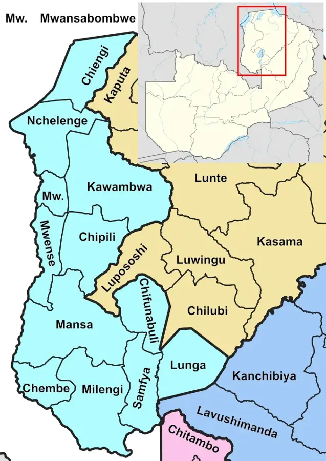
Explore nearby
Notable places around
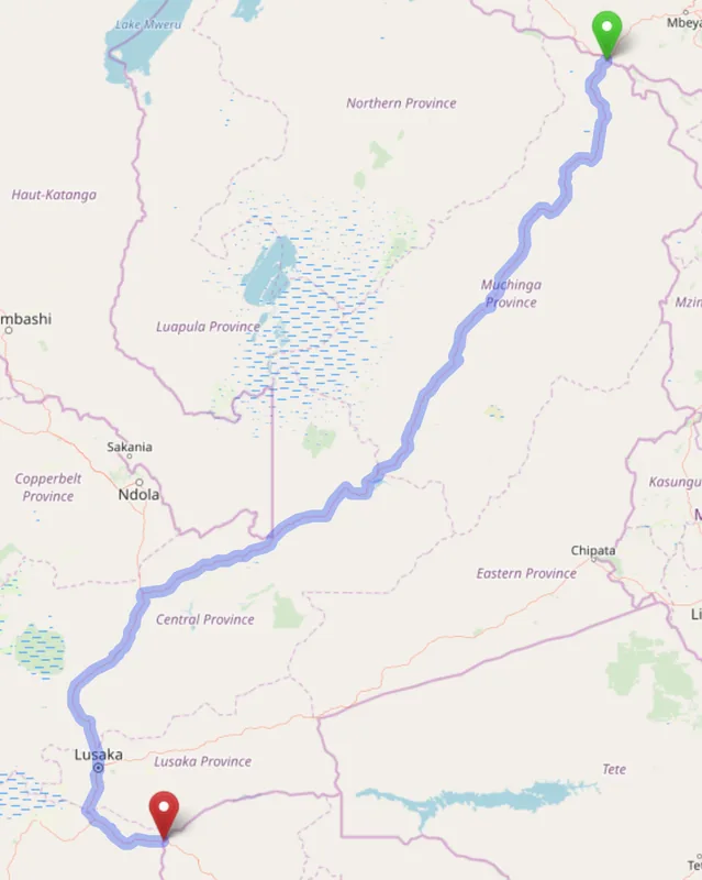
Route planner — Car & Motorhome
Where do you start? We build the route here, with stops and country notes along the way.
© OpenStreetMap contributors · OpenRouteService
Sights nearby
Frequently asked questions
Are there crocodiles in the Luapula River?
Can you use the river as a tourist?
How do you get to the Luapula?
Is the water safe to drink?
What bird species are seen there?
Luapula River: where is it located?
Luapula River: when is the best time to visit?
Luapula River: why is it worth visiting?

Nearby cities


History & landmarks
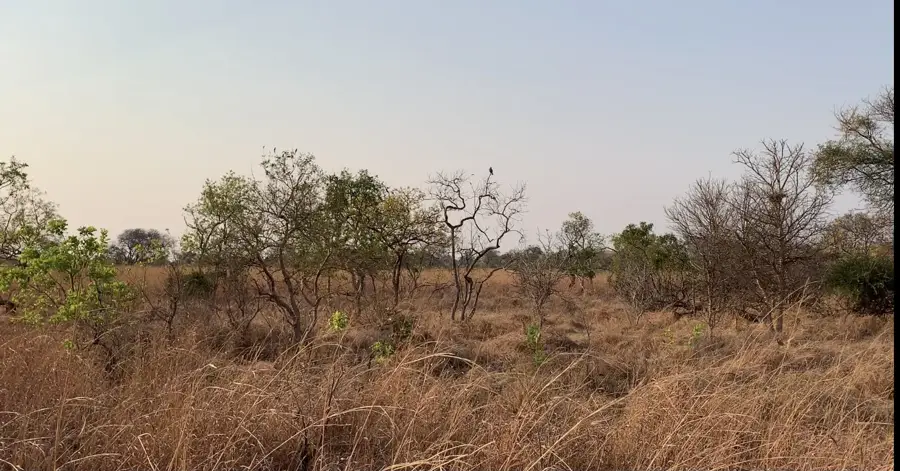

Nature
More places