Plizio Visual Lab
Lusaka Hills

Weather…
Water temperature…
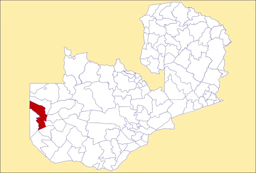
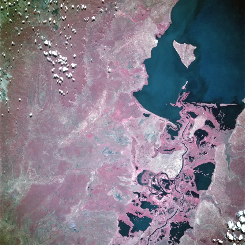
The Lusaka Hills surround the Zambian capital, Lusaka, and form a gently undulating plateau at an elevation of approximately 1280 meters. Geologically, the area consists predominantly of limestone and dolomite, which has led to the formation of interesting karst features such as caves and sinkholes. These rock layers act as an important groundwater aquifer, which is crucial for the water supply of the rapidly growing metropolis. The hills mark the transition from the flat Kafue basin to Zambia central plateau. Historically, the strategic location on these hills was decisive for the choice of the capital city site in 1935, as the climate here was more temperate and healthier than in the lower-lying regions. Today, many parts of the hills are urbanized, while the outer areas still feature Miombo woodlands and agricultural land. The relief of the hills provides natural drainage towards the Kafue River to the south and the Luangwa River to the east.
- Location: Zambia
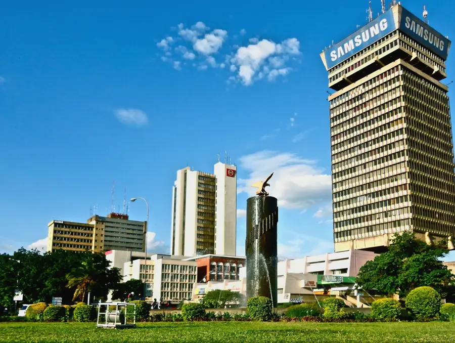
- Top sights: Lusaka Playhouse · Lusaka National Museum · Embassy Park Presidential Burial Site
- Nearby: Chongwe (43 km)
Best time to visit & climate
The most pleasant time to visit is Apr, May, Aug.
| Jan | Feb | Mar | Apr | May | Jun | Jul | Aug | Sep | Oct | Nov | Dec | |
|---|---|---|---|---|---|---|---|---|---|---|---|---|
| Avg °C | 23 | 23 | 23 | 22 | 20 | 18 | 18 | 20 | 24 | 27 | 26 | 24 |
| Rain mm | 200 | 142 | 101 | 31 | 4 | 1 | 1 | 1 | 2 | 10 | 75 | 201 |
📋 Practical info
Geography
Facts
- The average elevation of the hills is 1280 meters above sea level.
- The bedrock consists mainly of karstic rocks like limestone.
- Lusaka became the capital in 1935 due to its healthy location on the hills.
- The hills form a critical groundwater aquifer for the city's needs.
- The fertile Chisamba plains are located just north of these hills.
- The area drains via the Ngwerere stream into the Kafue River.
Explore nearby
Notable places around
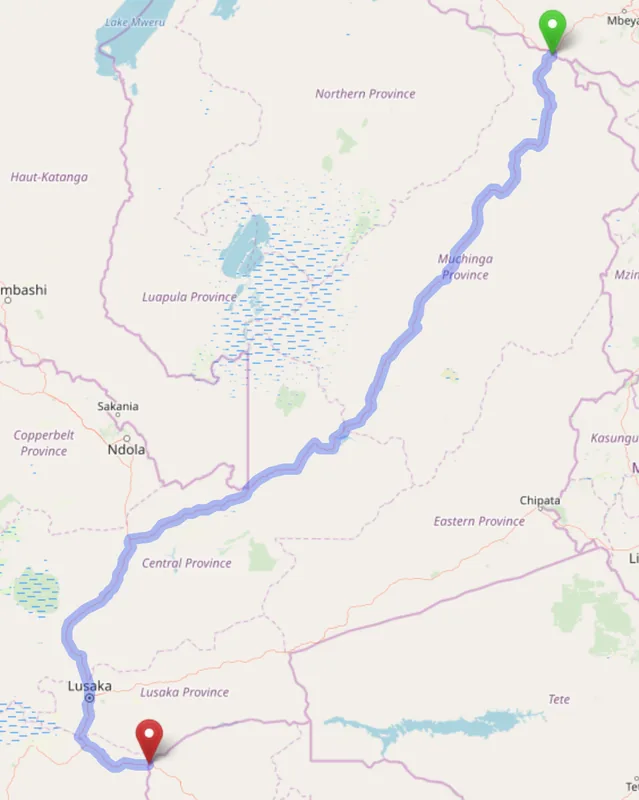
Route planner — Car & Motorhome
Where do you start? We build the route here, with stops and country notes along the way.
© OpenStreetMap contributors · OpenRouteService
Sights in the town Lusaka Hills (4)
Bayport
A viewpoint in the Lusaka hills offering a look over the surroundings.
Sights nearby
Frequently asked questions
Are the Lusaka hills easily accessible?
Are they suitable for a day trip?
Are there hiking routes there?
Is cycling allowed there?
What is the view like?
Lusaka Hills: where is it located?
Lusaka Hills: what is there to see?
Lusaka Hills: when is the best time to visit?
Lusaka Hills: why is it worth visiting?

Nearby cities


History & landmarks
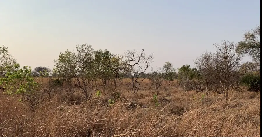

Nature
More places