Plizio Visual Lab
Serranía del Perijá
Weather…
Water temperature…
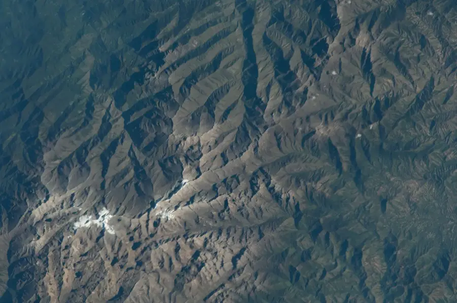
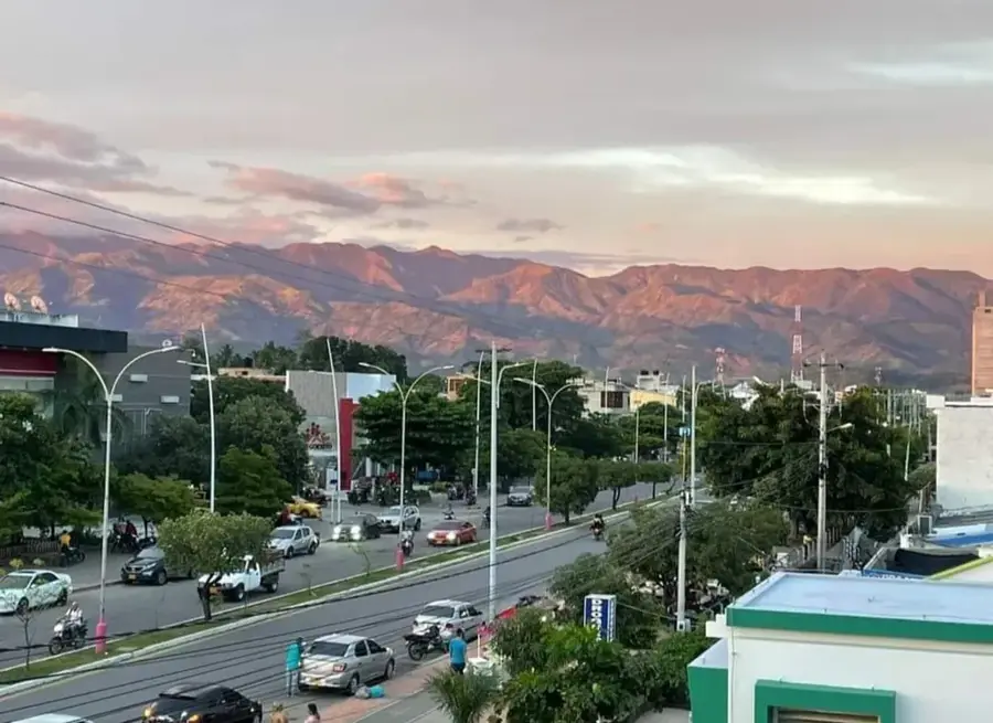
The Serranía del Perijá is the northernmost extension of the Eastern Cordillera of the Colombian Andes, forming the border between Colombia and Venezuela. The mountain range stretches for approximately 310 kilometers and reaches a maximum elevation of 3,630 meters at Cerro de Las Tetas. The landscape is characterized by a vertical zonation of ecosystems, ranging from tropical dry forests in the lower elevations to alpine páramos in the summit regions. Geologically, the range is composed of sedimentary and metamorphic rocks dating back to the Paleozoic era. The region is of high strategic importance for the water supply of surrounding departments such as Cesar and La Guajira. Due to its isolated location, the Serranía hosts numerous endemic plant and animal species not found in other parts of the Andes. Despite its ecological significance, the area is threatened by mining activities and agricultural expansion.
- Location: Colombia
- Top sights: Cerro Perijá · Iglesia Pentecostal Unida De Colombia (Las Vegas)
- Nearby: Ocaña (69 km)
Best time to visit & climate
The most pleasant time to visit is Jan, Feb, Dec.
| Jan | Feb | Mar | Apr | May | Jun | Jul | Aug | Sep | Oct | Nov | Dec | |
|---|---|---|---|---|---|---|---|---|---|---|---|---|
| Avg °C | 22 | 23 | 23 | 24 | 23 | 23 | 23 | 24 | 23 | 22 | 22 | 22 |
| Rain mm | 7 | 8 | 27 | 55 | 123 | 72 | 56 | 75 | 91 | 143 | 90 | 37 |
📋 Practical info
Geography
Facts
- The highest point is Cerro de Las Tetas at 3,630 meters in elevation.
- The range forms a 310 km long natural border with Venezuela.
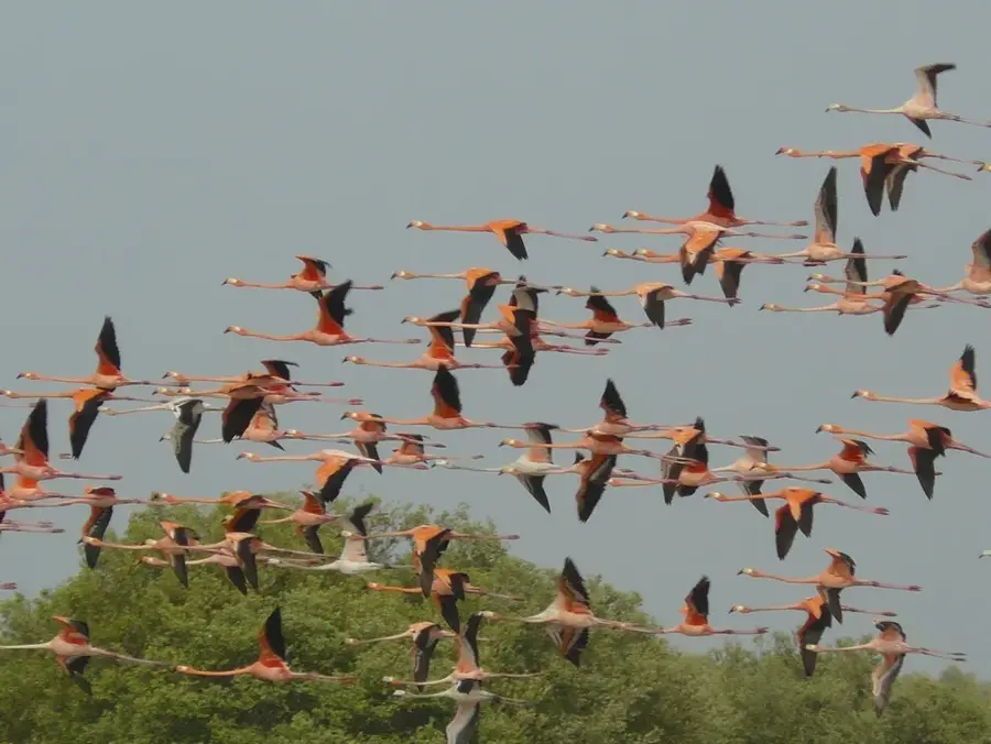
- The region hosts over 400 bird species, including many endemics.
- Geological formations partially date back to the Devonian and Carboniferous.
- The Perijá páramos cover an area of approximately 18,000 hectares.
- The Catatumbo River has its most important tributaries in this mountain range.
Explore nearby
Notable places around
Route planner — Car & Motorhome
Where do you start? We build the route here, with stops and country notes along the way.
© OpenStreetMap contributors · OpenRouteService
Sights in the town Serranía del Perijá (2)
Sights nearby
Frequently asked questions
What is Serranía del Perijá?
Can you go birdwatching there?
How high are the mountains?
Is the region developed for tourism?
What ecosystems are there?
Serranía del Perijá: where is it located?
Serranía del Perijá: what is there to see?
Serranía del Perijá: when is the best time to visit?
Serranía del Perijá: why is it worth visiting?

Nearby cities
More places