Plizio Visual Lab
Paria Peninsula
Weather…
Water temperature…
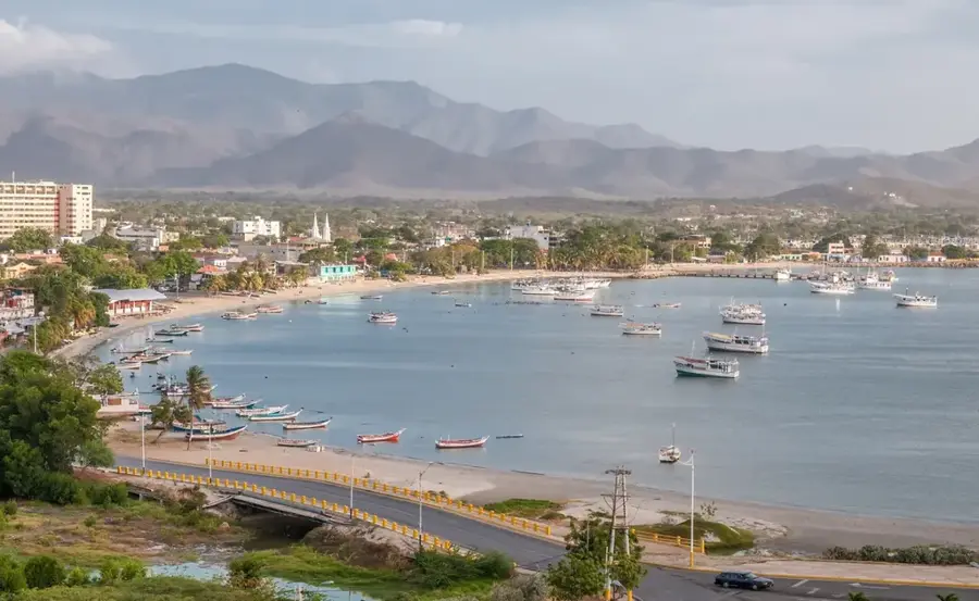
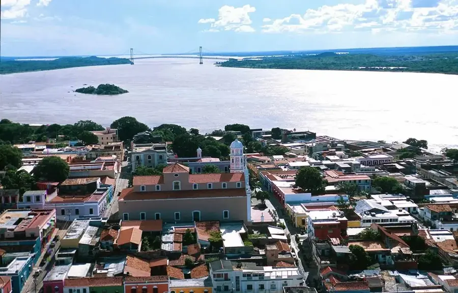
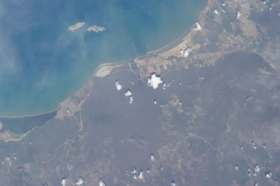
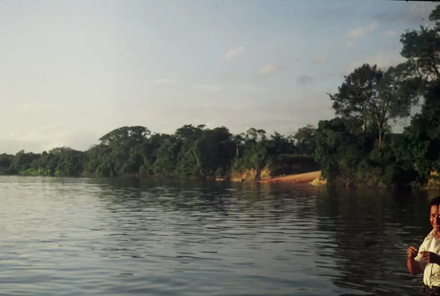
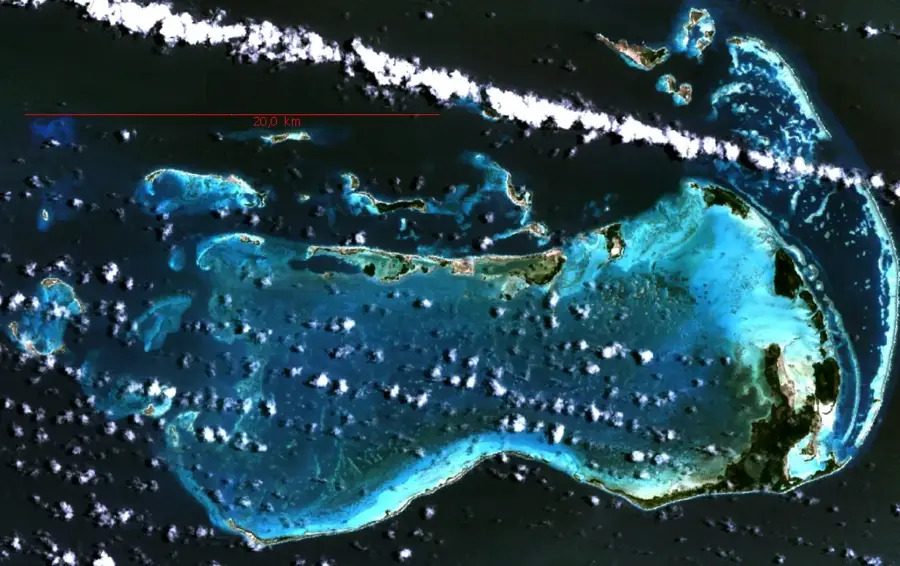
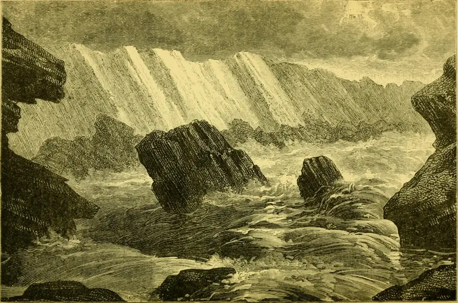
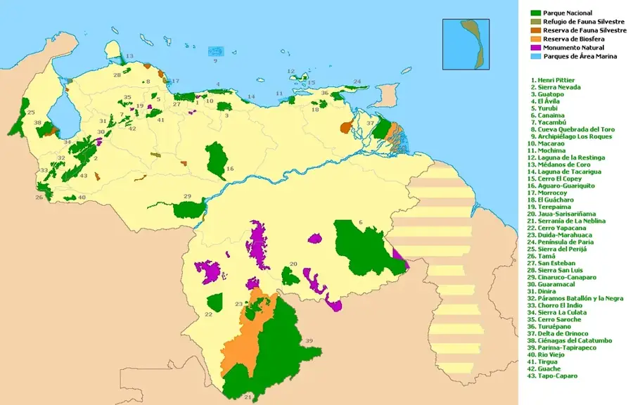
The Paria Peninsula is located in eastern Venezuela, in Sucre State, and separates the Gulf of Paria from the Caribbean Sea. It holds great historical significance as Christopher Columbus first set foot on the South American mainland here in 1498 during his third voyage, naming the region 'Tierra de Gracia' (Land of Grace) because of its beauty. The landscape is characterized by a steep mountain range that drops directly into the sea, covered by dense tropical rainforests and cloud forests at higher elevations. The Península de Paria National Park was established in 1978 to protect the unique flora and fauna, which share many similarities with the island of Trinidad. The region is renowned for its cocoa production, considered among the best in the world. Isolated beaches and small fishing villages give the peninsula an untouched atmosphere, far from mass tourism. The coastal waters are home to numerous sea turtles and dolphins.
Best time to visit & climate
The most pleasant time to visit is Feb–Apr.
| Jan | Feb | Mar | Apr | May | Jun | Jul | Aug | Sep | Oct | Nov | Dec | |
|---|---|---|---|---|---|---|---|---|---|---|---|---|
| Avg °C | 26 | 26 | 27 | 28 | 28 | 28 | 28 | 28 | 28 | 28 | 28 | 27 |
| Rain mm | 67 | 35 | 34 | 40 | 85 | 167 | 168 | 164 | 120 | 141 | 132 | 117 |
📋 Practical info
Geography
Facts
- Columbus landed here on August 5, 1498.
- The national park was established on December 12, 1978.
- The highest point is Cerro El Humo at 1,373 meters above sea level.
- The peninsula extends for a length of approximately 120 kilometers.
- About 70% of the peninsula is covered by dense forests.
- The region is a vital nesting site for the leatherback sea turtle.
Explore nearby
Notable places around
Route planner — Car & Motorhome
Where do you start? We build the route here, with stops and country notes along the way.
© OpenStreetMap contributors · OpenRouteService
Sights nearby
Frequently asked questions
What is the highlight of the peninsula?
How do I get there?
Is there tourist infrastructure there?
When is the best time to travel?
What should I be careful of at the beach?
Paria Peninsula: where is it located?
Paria Peninsula: when is the best time to visit?
Paria Peninsula: why is it worth visiting?

History & landmarks
Nature
More places